
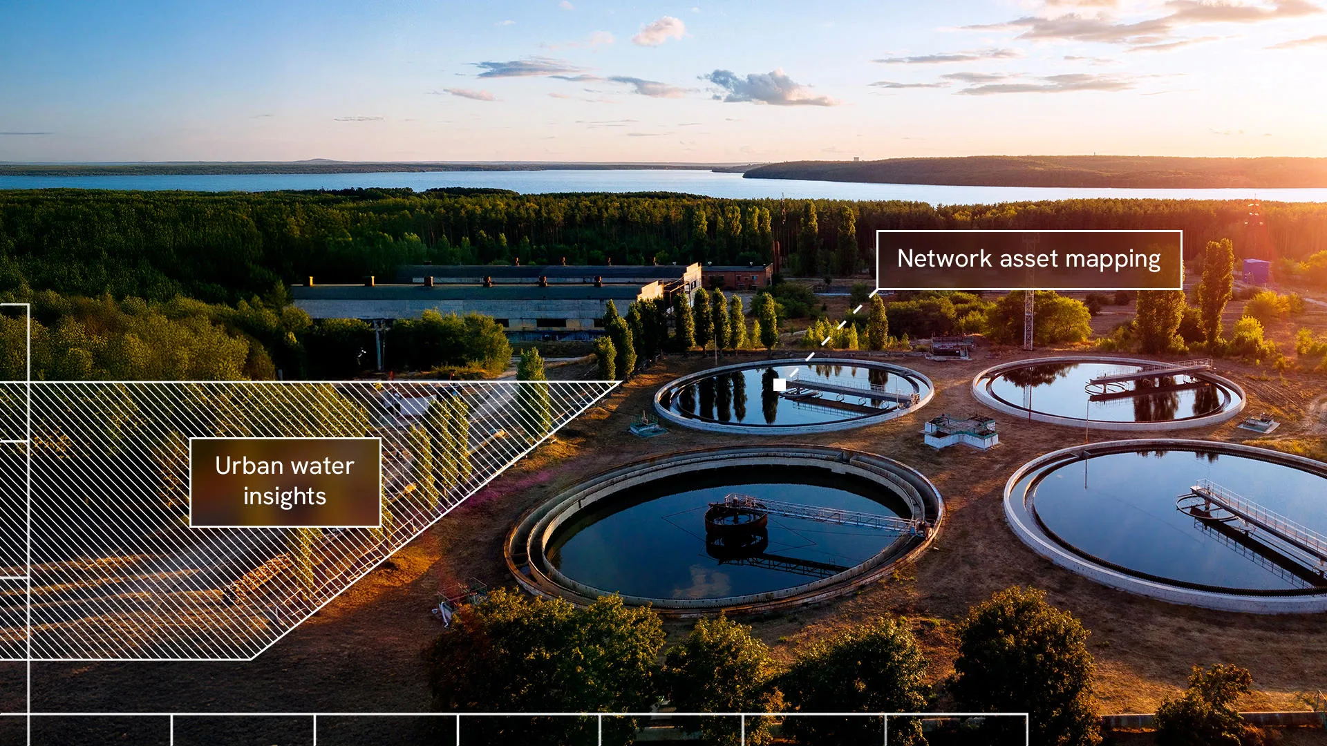
Much of today’s water network dates back to the Victorian times, creating immense challenges for replacing ageing assets, safeguarding quality, and meeting rising demand for a reliable, safe supply. With Ordnance Survey’s (OS) advanced location data, water utilities can make smarter, faster decisions – driving efficiency, reducing water loss, securing long-term supply, and elevating customer experience.
Predict demand with precision using such insights as neighbourhood profiles, water levels, and weather patterns. Allocate supply confidently with accurate forecasting. And model scenarios with digital twins for proactive maintenance and future-proof planning. OS insights also enable greater transparency for regulators, simplifying progress tracking and compliance with regulatory and legal obligations.
Prioritise maintenance where it matters most. Detect leaks faster. And boost efficiency and customer satisfaction. Discover what's possible with OS location intelligence.