OS MasterMap Building Height Attribute
Try this product with free sample data
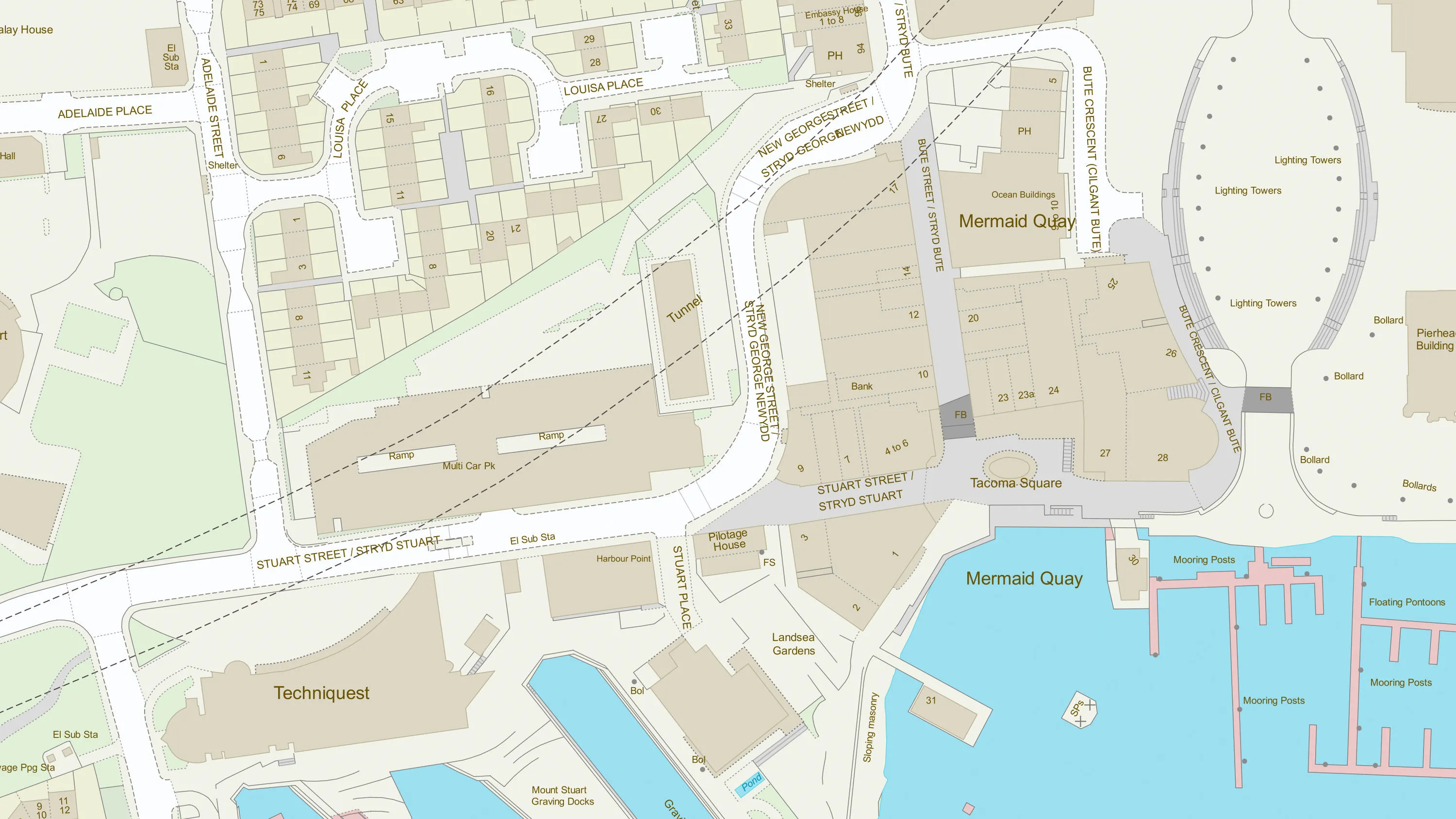
Download a small area of OS MasterMap Building Height Attribute.
What OS MasterMap Building Height Attribute provides you with
Enhancement to OS MasterMap Topography Layer
Building Height Attribute enhances OS MasterMap Topography Layer. It provides a set of height attributes for buildings, tanks, chimney stacks and glasshouses.
3D visualisations of buildings and structures
It can be used to make simple 3D visualisations of buildings and structures and can be used to assist a range of analytical applications across both public and commercial sectors.
Used for energy and infrastructure
Building Height Attribute can be used to model heat loss, regulate requirements including high-rise gas safety, help with smart meter roll-out and analyse line of sight for small cell planning. It can also help to manage overhead cable routing and assist in planning and maintaining water pressure to high-rise properties.
Suitable for architects and development projects
This enhancement to OS MasterMap Topography Layer can also aid architects to visualise building designs early in the planning phase.
Use cases
It can be used to make simple 3D visualisations of buildings and structures to:
- model heat loss
- regulate requirements
- help with smart meter roll-out
- analyse line of sight for small cell planning
- manage overhead cable routing
- assist in planning and maintaining water pressure to high-rise properties
- visualise building designs early in the planning phase
- help in emergency planning and risk assessment
- model air pollution
- site solar panels
- visualise planning applications
Related products
OS MasterMap Topography Layer
OS MasterMap Topography layer provides a map dataset of Great Britain's landscape – from roads to fields, to buildings and trees, fences, paths and more.
OS Building Features
Access data on buildings and building features, including building heights, lines, and access points, across Great Britain.