Evolving Great Britain’s trusted basemap
A new chapter in OS mapping, and successor to OS MasterMap Topography Layer
Built on the power of the OS National Geographic Database (NGD), it will provide our most detailed, trusted, and accurate representation of Great Britain’s built and natural landscape.
With full launch anticipated for 2027, OS BaseMap Pro will deliver a clear, consistent, and modern basemap – one designed for today’s digital platforms, applications, and workflows, to better suit evolving customer requirements.
Why move on from OS MasterMap Topography Layer?
OSMM Topography Layer is now over 25 years old, making it as old as the first Xbox and iPods!
OS has supplied more than 500,000 data downloads in that time. It’s a product that has seen fantastic use; many of our customers use and rely on it daily. It’s a digital data product that’s remained in the market for an impressively long time, released in 2001 when location data, technology, GIS capabilities, and data formats were very different compared to what we have today.
OS continues to innovate and evolve, and as organisations increasingly adopt NGD‑powered products, we recognise that our current basemap product’s legacy structure makes it harder to integrate, harder to adopt, and less suited to modern workflows. This in turn limits the enhancements that can be unlocked by the NGD.
To continue delivering the authoritative and quality mapping data customers rely on, and as the national mapping agency, OS is modernising this foundation. It’s our opportunity to update, create a more accessible, flexible, and future‑ready basemap, built for what customers need today and tomorrow.
What makes OS BaseMap Pro different?
OS BaseMap Pro will be a new product, not a revised or refreshed version of OSMM Topography Layer. It will retain the essential function that the original product serves, including visualisation, data capture, and basic analysis; it can do what our customers expect and rely on.
But it will deliver far more capability, consistency, and performance.
Unlocking new levels of analytics and insight
OS BaseMap Pro has been built for modern applications and systems. The NGD-compatible basemap is also designed to work smoothly alongside the OS NGD Themes available through OS Select+Build and OS NGD API – Features. This enables connection of rich attribution with familiar OS cartographic context, to unlock enhanced analytical use cases.
An improved customer experience
The way that our users access and navigate our basemap will improve too, implementing more modern data formats that are easier to use, and have quicker, dependable refresh cycles. Our users can access key updates sooner, and do so much more.
Modern mapping, familiar quality
Users can continue using a trusted, authoritative national map of Britain, from OS’s most reliable sources, while keeping the familiar, highly detailed OS look and feel. It includes pre-integrated styling and improved stylesheets, cartographic styling and text, only available in OS BaseMap Pro.
A combination of the trusted OS style, with the strength, flexibility and future‑readiness of the NGD, equipped for the next era of geospatial data.
More accessible, more powerful
OS BaseMap Pro will be a premium data product download, available in GeoPackage and CSV formats, and will also be available via OS APIs.
What’s next for current OS MasterMap Topography Layer users?
OSMM Topography Layer has been an integral part of the OS product line, a cornerstone of Great Britain’s geospatial landscape for many years. In that time, we’ve seen countless organisations use OS for authoritative backdrop mapping. We know how many of you rely on OS, and this is the next step of that journey.
OS BaseMap Pro is being developed through a series of staged releases, informed by customer feedback and real-world testing. OS is committed to supporting existing use cases while unlocking additional value through the power of the OS product line, ensuring we are fully aligned with customer feedback and building the best basemap by design.
Our second phase of prototyping is now underway, with user engagement planned in April 2026. The anticipated development timeline, with key aspects of each stage:
- Now: second prototype release
- Autumn 2026: Alpha release
- 2027: Beta and full product launch
- Summer 2028: Anticipated OSMM Topography Layer end of life notice
- Summer 2030: OSMM Topography Layer end of life
This multi‑year transition ensures organisations have the time and support they need.
These timelines are subject to replacement product development.
Find out more
OS BaseMap Pro is how we modernise our foundation: a modern, capable and future‑ready basemap built on customer insight, familiar OS cartography, and the power of the NGD.
For more information, please visit our OS Docs to learn more, or speak to your OS account manager.

Our highly accurate geospatial data and printed maps help individuals, governments and companies to understand the world, both in Britain and overseas.
Products and solutions featured in this blog
OS MasterMap Topography Layer
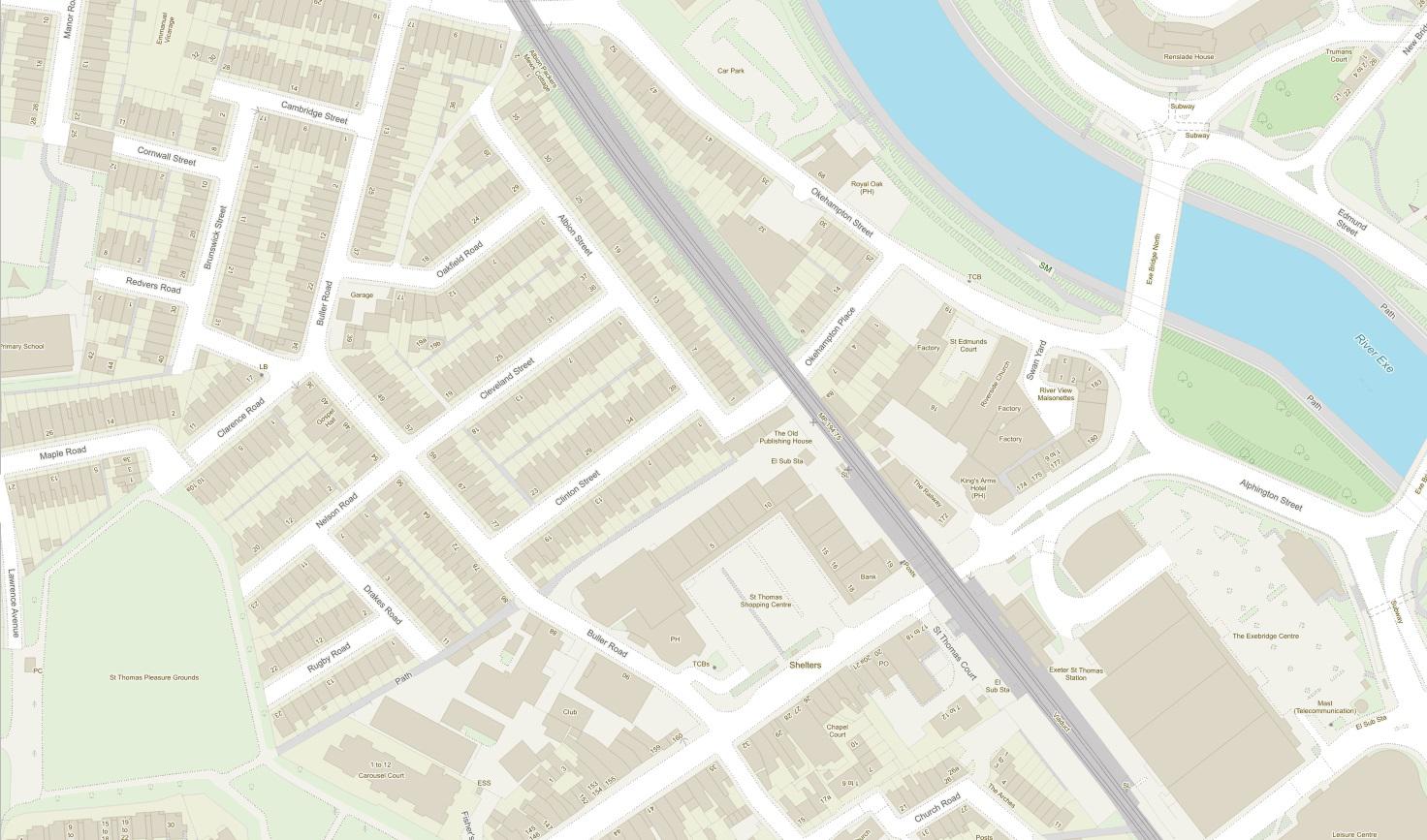
OS MasterMap Topography layer provides a map dataset of Great Britain's landscape – from roads to fields, to buildings and trees, fences, paths and more.
Find more blog articles
- Announcements
- Products and services
- Partners
- Businesses
- PSGA members