Blog
Read location data and geography related stories and commentary
Filters (0)
Page 1
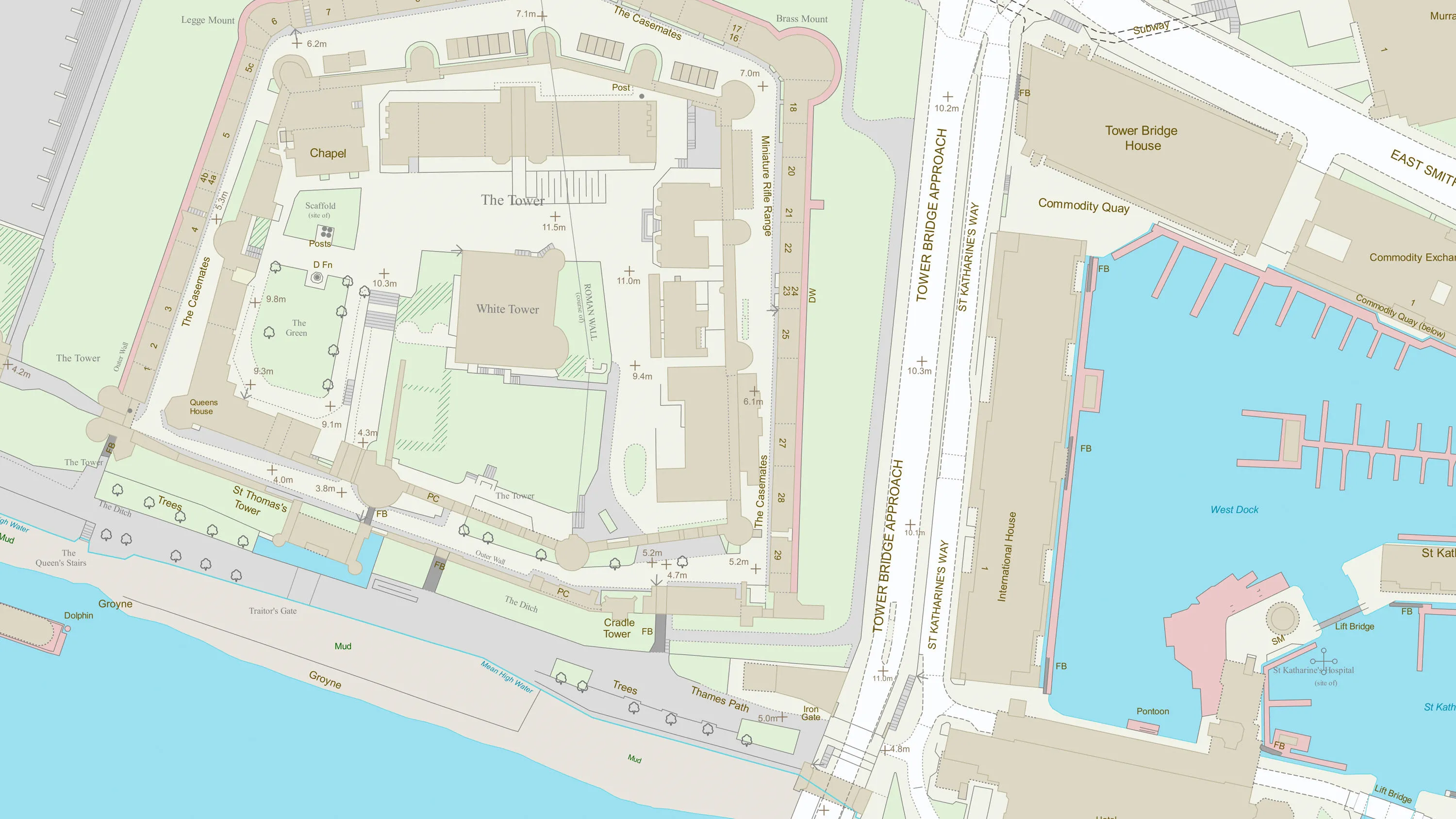
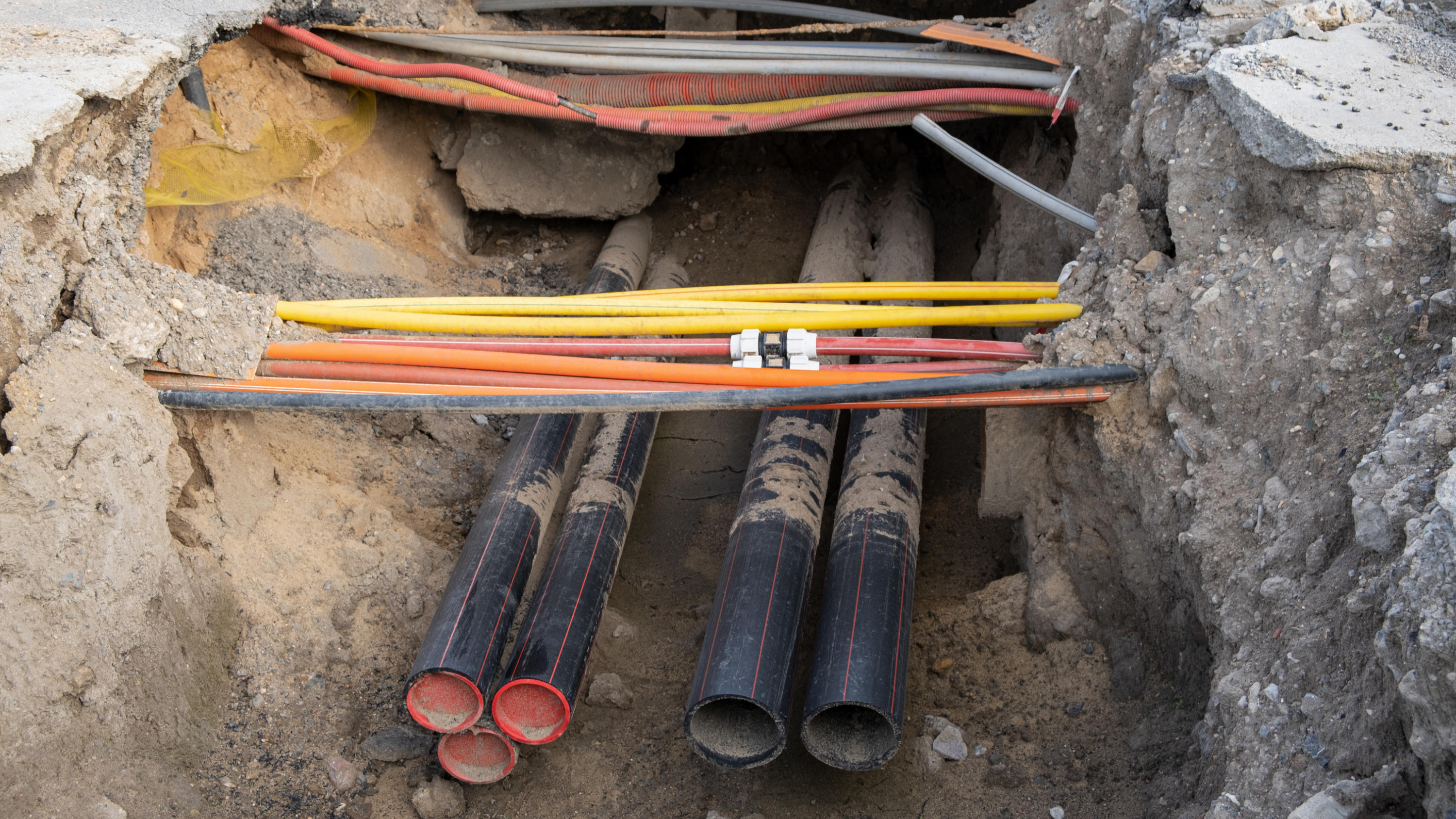
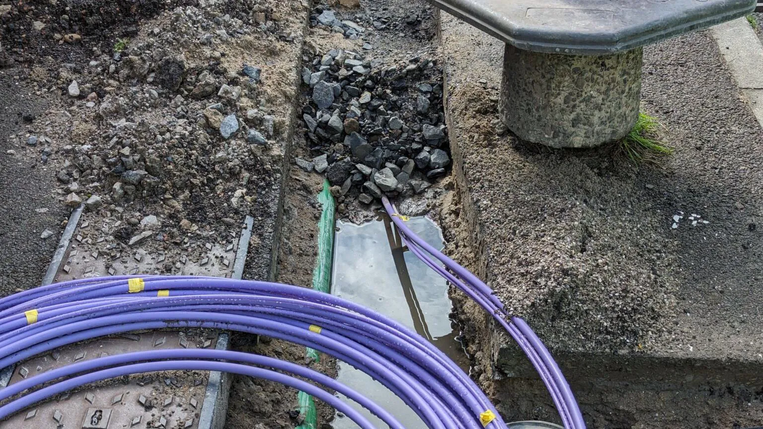
National Underground Asset Register is accelerating positive change for local authorities
By contributing their data to NUAR, local and highways authorities are cutting both time and costs.
- Blog
Evolving Great Britain’s trusted basemap
Ordnance Survey is developing OS BaseMap Pro: the next‑generation detailed basemap, and the future successor to OS MasterMap Topography Layer.
- Blog
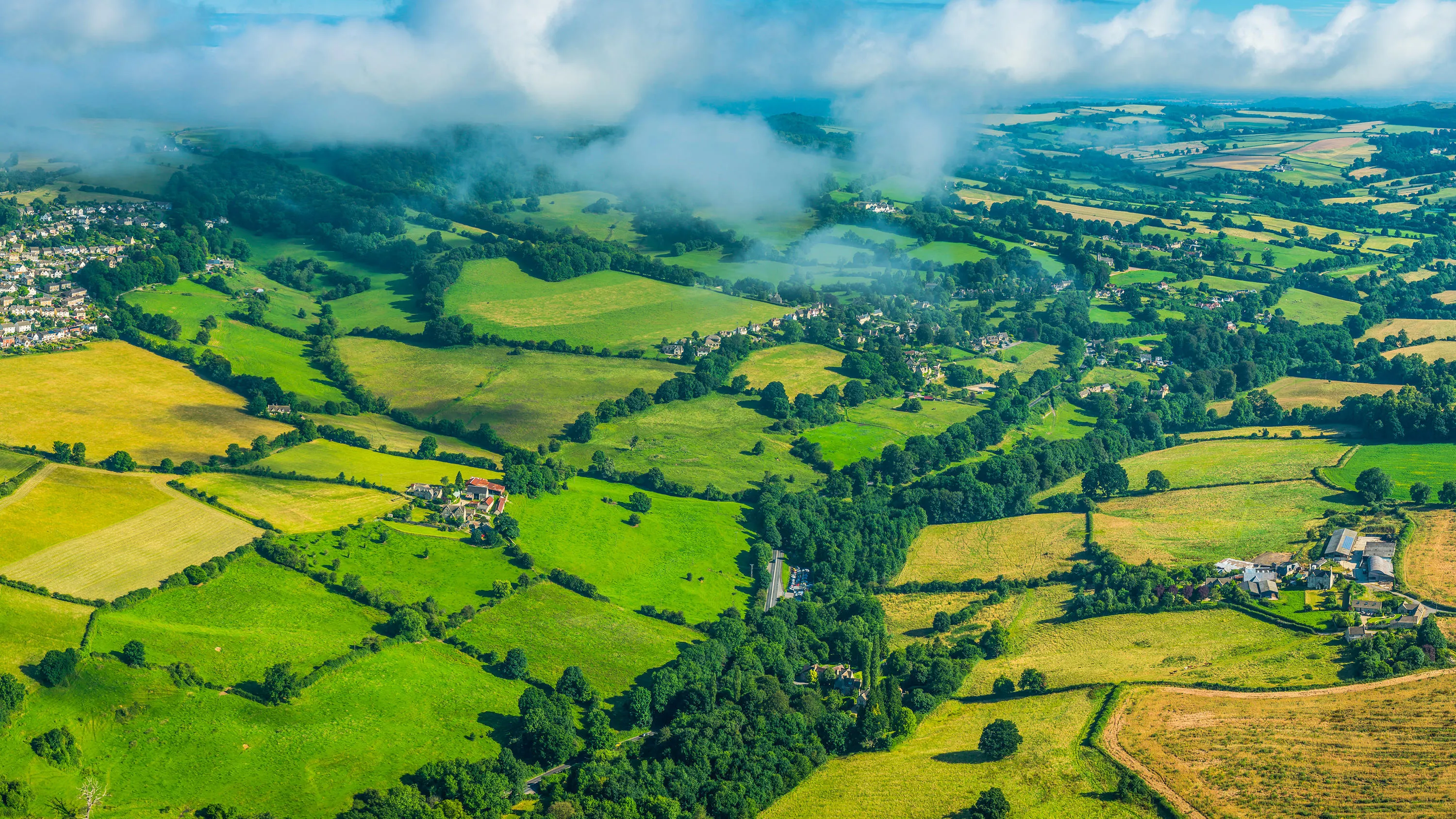
How Ordnance Survey will be supporting the new Land Use Framework for England
Putting geospatial data in the hands of those who need it to make smarter, more informed decisions about land use.
- Blog
Ordnance Survey puts a new development name on the map – in memory of a fallen soldier
Adrian Sheldon View is now on the map of Kirkby, in Ashfield, Nottinghamshire, with the help of Adrian's mother.
- Blog
‘The problems we see are people don’t have people to go with’
London-based hiking group Walk This Way is going from strength to strength connecting a diverse crowd of people in their 20s and 30s at monthly walks outdoors.
- Blog
The National Underground Asset Register (NUAR) is here to assist asset owners' contractors
NUAR is a government digital service that has 80% of known underground asset mapped; construction contractors can work with OS and assets owners can get onboard.
- Blog
From Rose Street to Cupid’s Chase – Ordnance Survey reveals Britain’s most romantic street names
To celebrate Valentine's Day, Ordnance Survey has searched for all the street names in Great Britain dedicated to love.
- Blog
Update on the National Underground Asset Register from the Government Digital Service
GDS's update includes consultation and regulation news, developments to integrate with the ecosystem, and expanding access to more users.
- Blog