Blog
Read location data and geography related stories and commentary
Filters (1)
Page 1
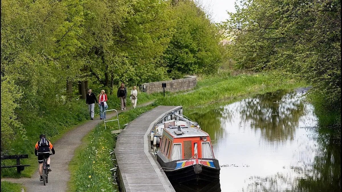
Why canal towpaths are good for people, the environment, and local economy
Scottish Canals have used Ordnance Survey (OS) data to help manage and maintain Scotland’s historic 141-mile canal network, providing numerous benefits for local communities.
- Blog
Improving health outcomes for care home patients, with the NHS Business Services Authority
The NHS Business Services Authority (NHSBSA) is using Ordnance Survey (OS) data to gain new insights that could help improve the health of people over 65 living in care homes.
- Blog
NHS England saving time for both practices and patients
NHS England has now launched a new online service to make registering for a GP easier for everyone.
- Blog
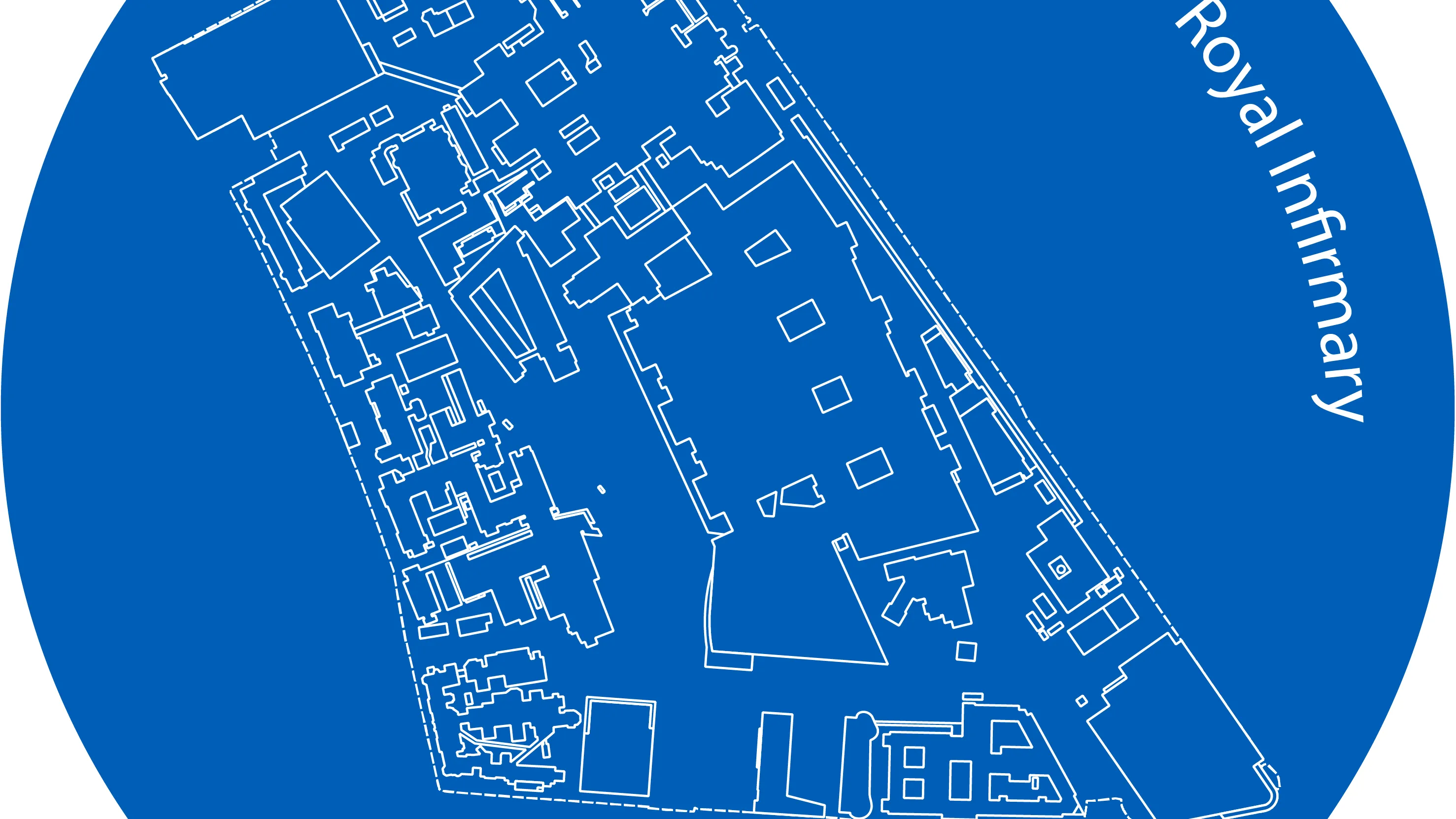
75 years of the NHS marked
Fifteen largest hospitals calculated by bed numbers feature in data-visualisation created by talented student.
- Blog
The business of care: how The NHS Business Services Authority is improving health outcomes for people in care homes
NHS Business Services Authority uses OS data to gain and share valuable information across the NHS to improve the management of medicines in care homes.
- Blog
Taxi brains – how London’s black cab drivers and their mapping knowledge is helping Alzheimer’s research
How the study of London taxi drivers’ brains could undercover clues to help understand Alzheimer’s disease.
- Blog
UKHSA - supporting the UK Health Security Agency in the response to Covid-19
How OS supported the UKHSA in the response to Covid-19.
- Blog
Has walking the dog made Britain fitter?
Dog owners in Britain believe having a dog made them walk more; learn how OS Maps helps with finding new route inspiration.
- Blog
OS urge more people to GetOutside to boost mental health
Four tips on physical activity to co-incide with Mental Health Awareness Week.
- Blog