75 years of the NHS marked
New OS poster of Britain’s biggest hospitals created
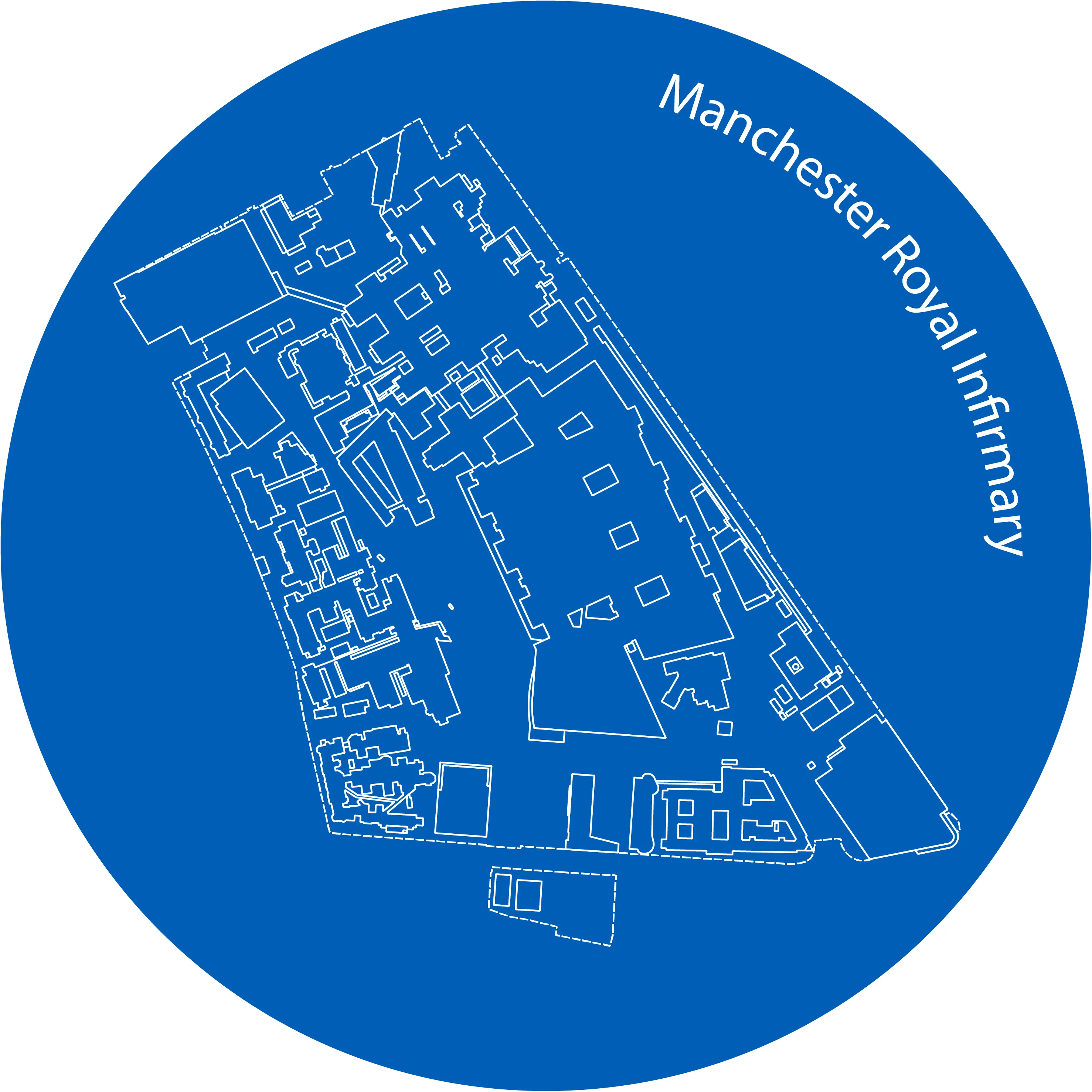
OS has published a special one-off poster to commemorate the 75th anniversary of the birth of the NHS. The stylish blueprints design saw building outlines for the 15 biggest hospitals by capacity in the country captured inside circles of NHS blue.
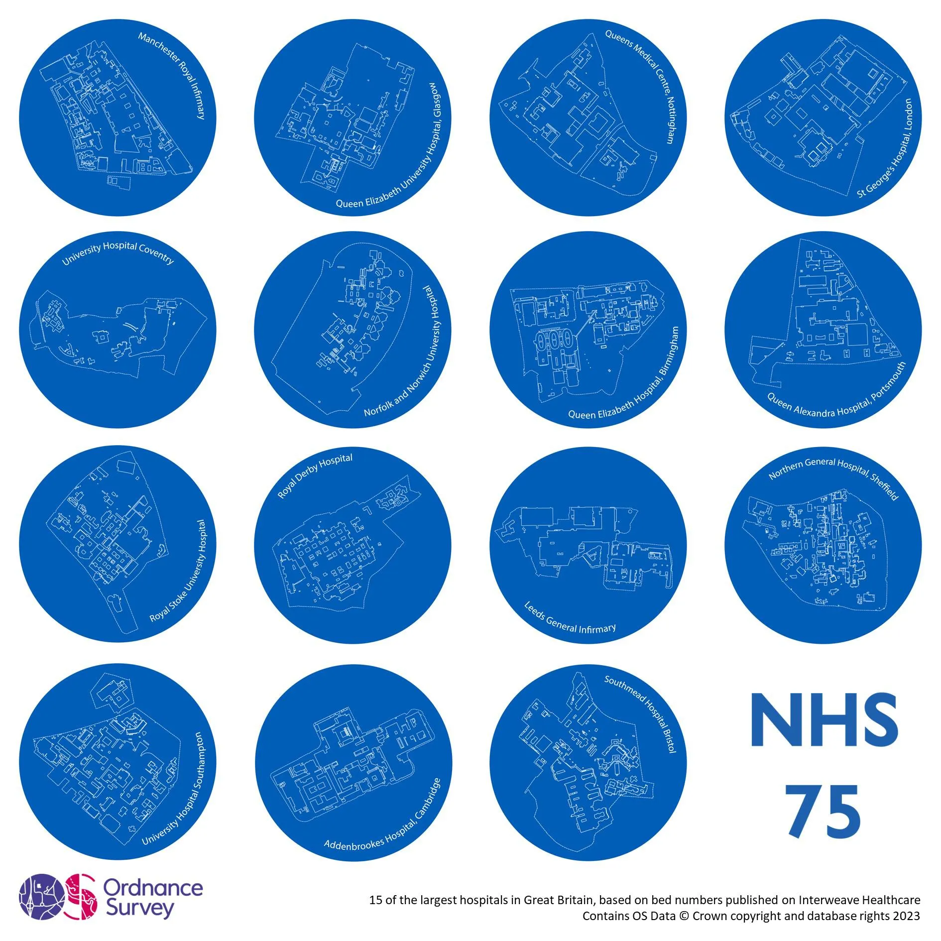
Data on bed numbers was taken from Interweave Healthcare, while the building footprints were obtained from the ‘Land Use Feature Sites’ layer in the OS National Geographic Database (NGD).
The 15 hospitals featured:
- Manchester Royal Infirmary
- Queen Elizabeth University Hospital, Glasgow
- Queens Medical Centre, Nottingham
- St George’s Hospital, London
- University Hospital, Coventry
- Norfolk and Norwich University Hospital
- Queen Elizabeth Hospital, Birmingham
- Queen Alexandra Hospital, Portsmouth
- Royal Stoke University Hospital
- Royal Derby Hospital
- Leeds General Infirmary
- Northern General Hospital, Sheffield
- University Hospital, Southampton
- Addenbrookes Hospital, Cambridge
- Southmead Hospital, Bristol
The poster was created by The Romsey School student Ruth Hyam, who spent two days working alongside OS’s Consultancy and Technical Services Team.
Ruth was set the challenge of creating the poster after being trained on open source geographic information system QGIS. The team thought her work outstanding and worthy of publication.
Reflecting on her experience, Ruth said: “I had a brilliant two days’ work experience at OS. I got to learn new software and make lots of different types of maps. On the second day, it was great to be able to work on something that the team needed creating and for it to end up being something that others can get to see, I really enjoyed being creative with the map design and the poster. As a result, I'd love to end up working at OS when I finish education.”
Why choose OS?
With a rich heritage that started with the first map in 1801, following advisory roles in government to digital maps of Mars, we are home to some of the best location specialists, who tackle some of the most challenging technical issues within geospatial.

Our highly accurate geospatial data and printed maps help individuals, governments and companies to understand the world, both in Britain and overseas.
Find more blog articles
- Health
- General public
- Government and public sector
- Great Britain
- United Kingdom