Whatever your goal, make better data-driven decisions, monitor and respond to change, deliver better, more efficient public services, achieve national and local policy objectives, or sustainable business outcomes – OS can help you reach it.
Consultancy services
Bringing together strategy, geospatial data, technology integration and domain expertise to help organisations unlock value, make confident decisions and deliver sustainable outcomes.
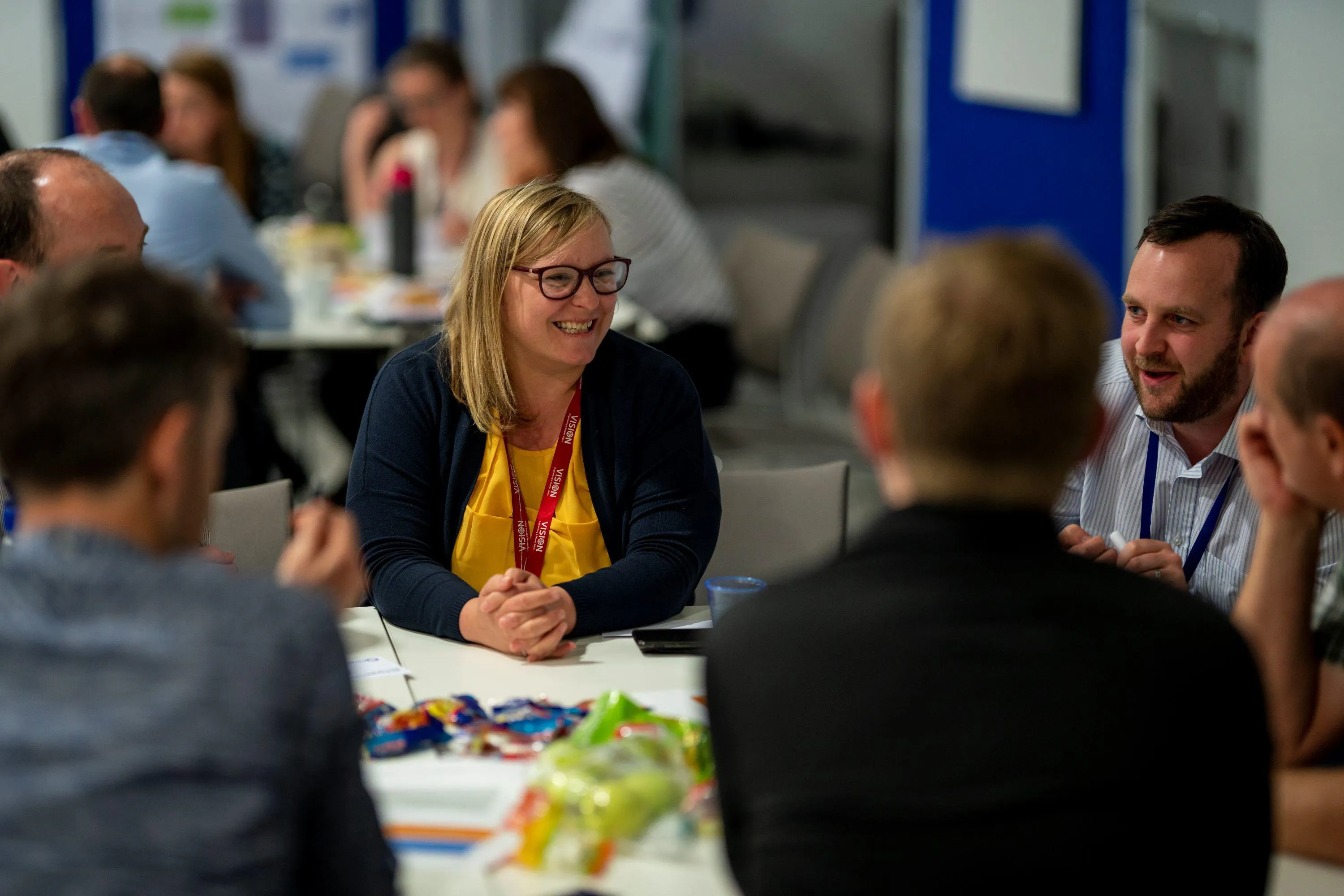
Our geospatial consultancy services enable government agencies, local authorities and businesses unlock and maximise the value of geospatial data – turning it into actionable insights that drive better decisions and deliver real-world outcomes.
Supporting public and private organisations across GB and internationally

Key challenges and how we can solve them
Business transformation and geospatial strategy
Unlock the value of your data with AI and geospatial insight. We help organisations assess maturity, shape strategy and accelerate business transformation.
Data science insights
Reveal data driven insights using location.
Geospatial data management
Capture, manage and distribute location data.
Let’s talk
If you’d like to talk to an OS expert, you can request this below. Whether you’re facing challenges, new to the industry, or need advice – we'll put you in touch with the right person.
National Underground Asset Register (NUAR)
£350m
per year benefits expected
Maritime and Coastguard Agency (MCA)
22,000
incidents located faster
Customer stories
How Keep Wales Tidy is enabling cleaner, greener communities
Keep Wales Tidy is a charity improving public spaces across Wales, using OS NGD to identify public spaces and improve efficiency.
How location intelligence tackles crime
How location based context combined with the Home Office's crime data was key to better understanding local crime patterns and trends.
Delivering a safe G7 with Devon and Cornwall Police
Using the latest 3D mapping solutions from OS the emergency services were able to plan and work through various scenarios to protect and world leaders.
Supporting a rooftop revolution
Ordnance Survey is supporting the Government's target for clean energy, including solar power, with the release of new data on roofs and recent collaboration with Snowflake.
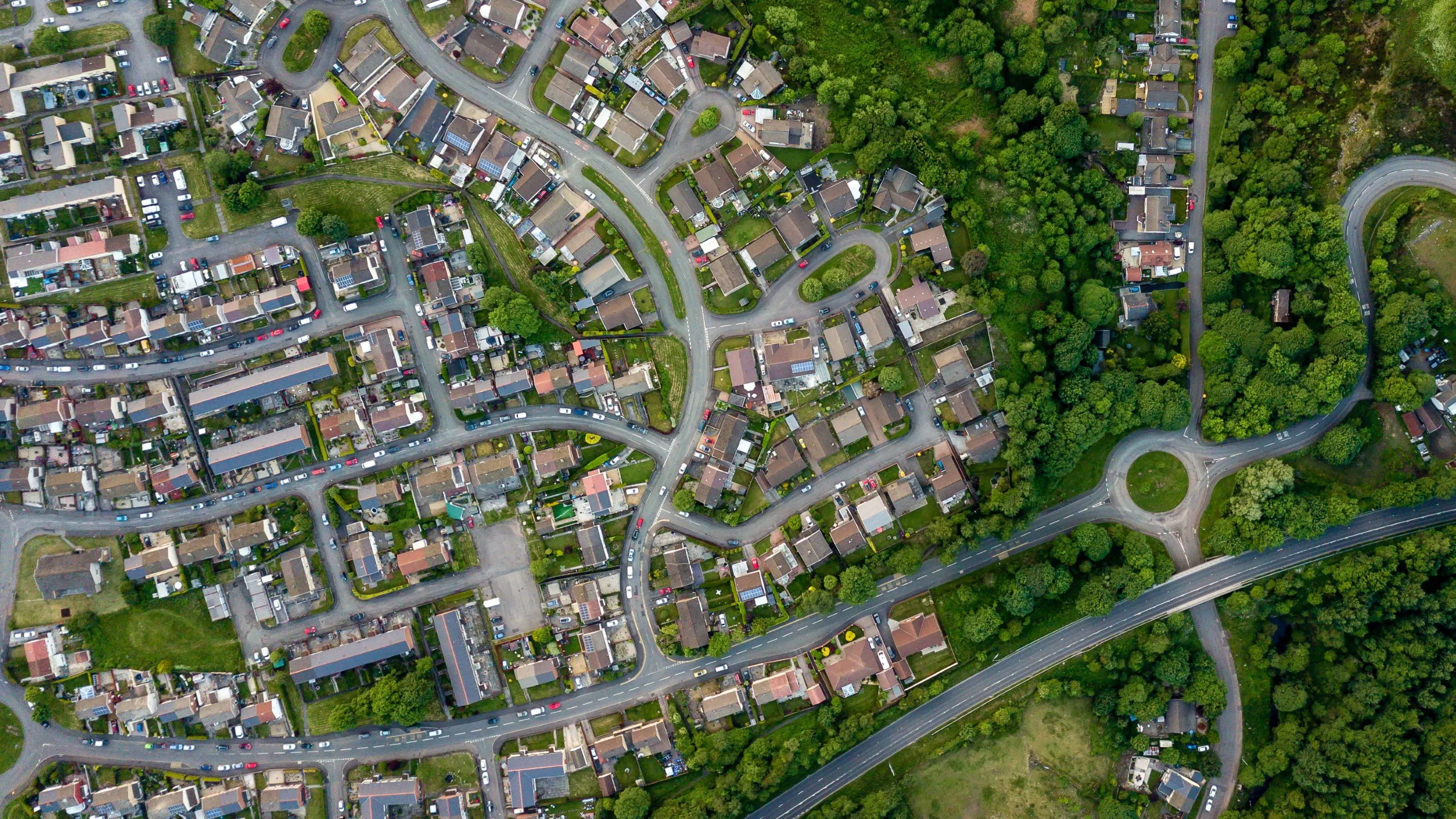

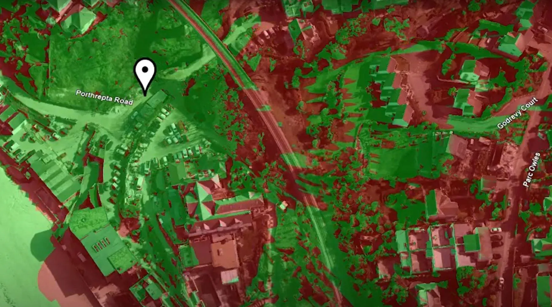

See how organisations are using OS location data
How consultancy can help you
From businesses to PSGA to Partners, consultancy can help you achieve the results you need, tailored to your unique position and the customers or citizens you serve.
Public Sector
Get more value from PSGA data and services, and improve data quality, standards and discoverability.
PSGA members benefit from free at the point of use accurate location data, meaning you can get started quickly with your projects; from simple geospatial queries to more complex projects involving multiple datasets.
OS Partners
Reduce risk during delivery with OS authoritative data and experts.
Respond quickly to tenders using OS proven capabilities.
Businesses
Increase operational efficiency and reduce costs.
Integrate geospatial into critical business systems and achieve sustainability goals.
International services
Our international development services are tailored to meet the needs of governments and municipalities working with international development funding bodies. Discover how we can help you grow your jurisdiction to its full potential, using geospatial solutions and consultancy expertise.