
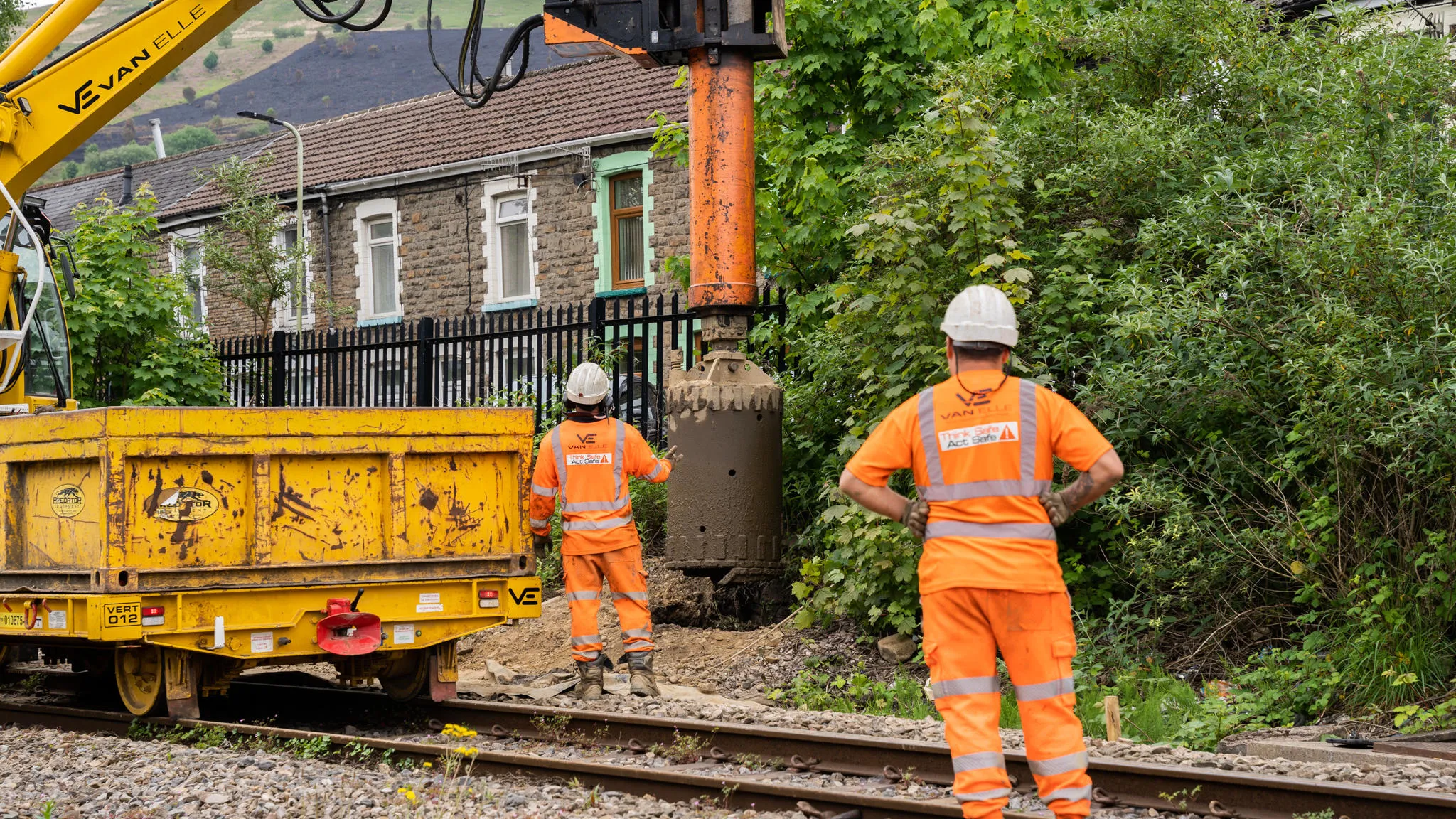
Alpha Construction is a civil engineering and building contractor based in Derbyshire. Among its specialisms are projects across the UK related to energy and substation infrastructure, as well as flood defences and water infrastructure. Alpha Construction’s work regularly involves high-risk...
Case studies
Discover how Ordnance Survey data is driving more efficient decisions in organisations like yours
Filters (0)
Showing 122 results
Page 1

NUAR is saving Northumbrian Water Group time and money
Northumbrian Water Group (NWG) addressed long-standing challenges with fragmented underground asset data by adopting the National Underground Asset Register (NUAR) and embedding it into its operational processes. The platform has enabled faster, more reliable access to asset information for hundr...

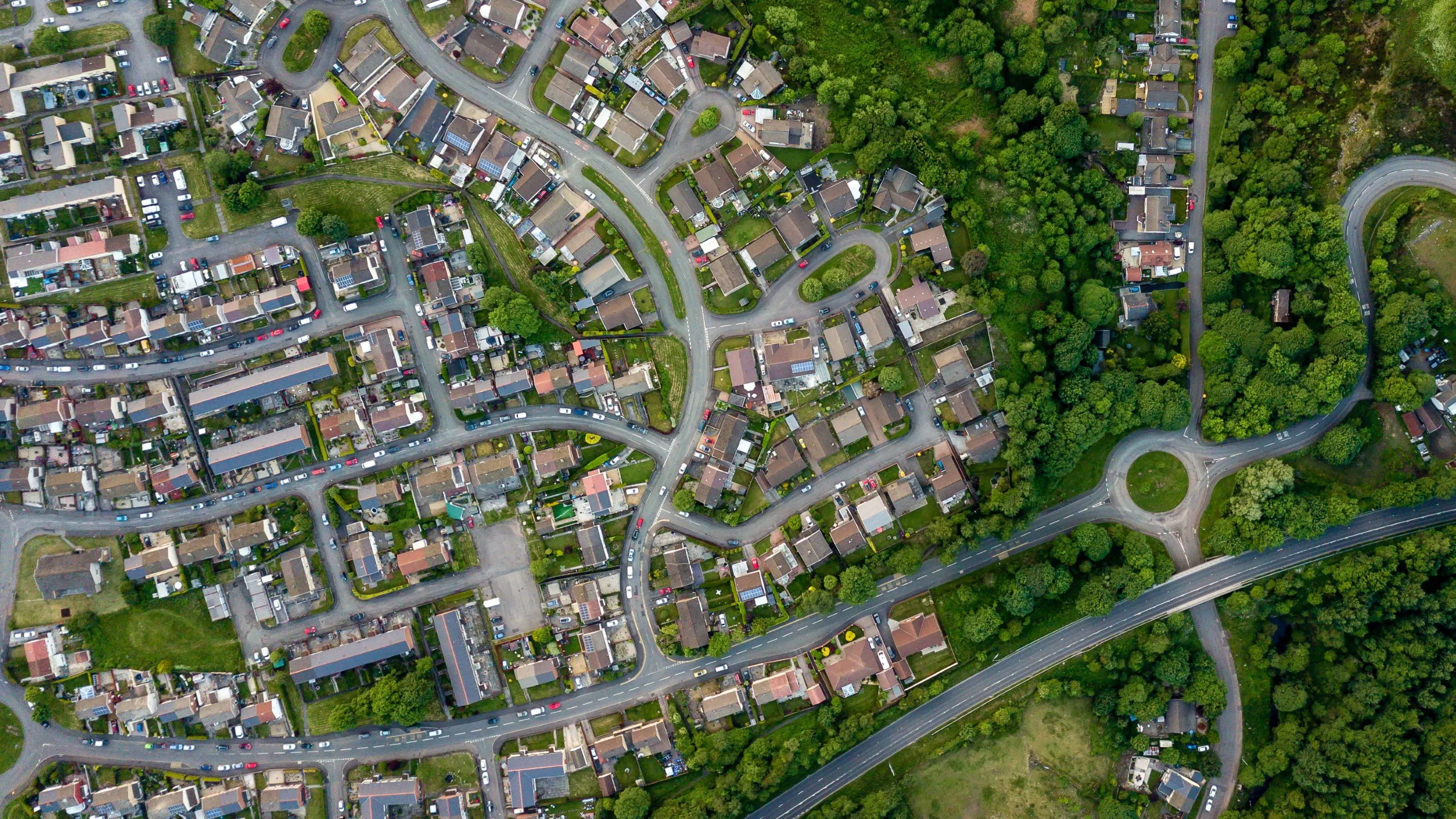
Improving road safety insights with integrated data
Lancashire County Council (LCC) is the local authority for the county of Lancashire, in England. The county council serves everyone living and working in Lancashire, providing key services and support for the region.

SGN’s successful trial of NUAR leads to company-wide roll out
SGN worked with Ordnance Survey to pilot NUAR, enabling field teams to access consistent underground asset data instantly while on site. The trial delivered efficiency gains, enhanced safety outcomes, and supported a broader rollout across the network.
Crown Estate Scotland
Crown Estate Scotland manages rural estates — covering over 35,000 hectares of tenanted land, built assets, and infrastructure. Land use includes forests, historic buildings, farms, and more.
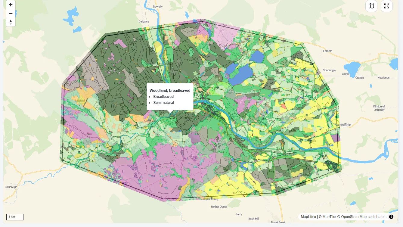
Putting nature at the heart of decision-making
NatureScot is Scotland’s nature agency, working to improve the natural environment (such as biodiversity, geodiversity, and the natural elements of land and seascapes). NatureScot has used OS MasterMap data to create a Natural Capital Tool, enabling people to put nature at the heart of deci...
Enabling cleaner, greener communities with robust litter data
Keep Wales Tidy is a charity that has been developing a brand-new litter data methodology, taking pride in improving public spaces across Wales and protecting the environment now and for the future.
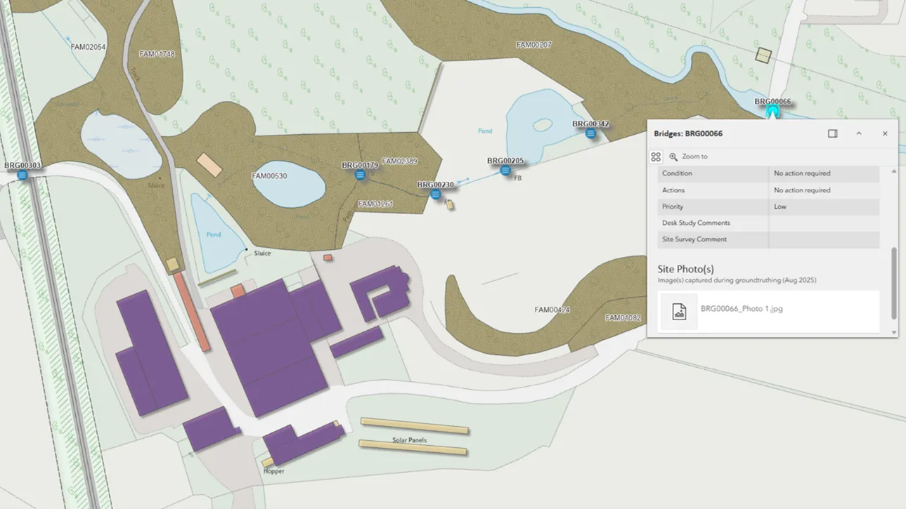
Improving visibility beneath Wales’ transport network
Transport for Wales is leading a major programme to modernise transport across the region, including the South Wales Metro and expanded active travel schemes. Delivering these projects requires careful management of buried utilities in a complex and historic environment. This case study highlight...
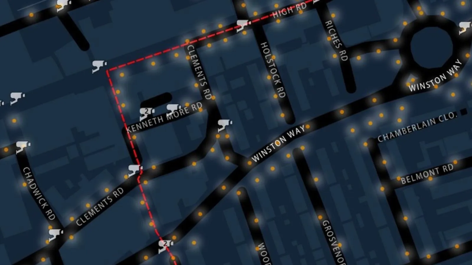
Safer routes for winter commutes
The Women’s Network at Redbridge London Borough Council wanted mapping highlighting the safest routes for them to take during winter darkness.
You have viewed 9 of 122 case studies