Challenge
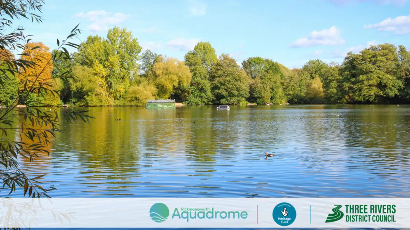
The Aquadrome plays a critical role as a natural flood plain for the River Colne, helping protect Rickmansworth town from flooding. A review of the site management plan identified that the Aquadrome had historically been treated primarily as a park, with insufficient focus on ecological value. There was a clear need to rebalance nature restoration and flood management with sustainable public use.
Solution
"The best way to see what we’re doing is on a map – we need the big picture. "
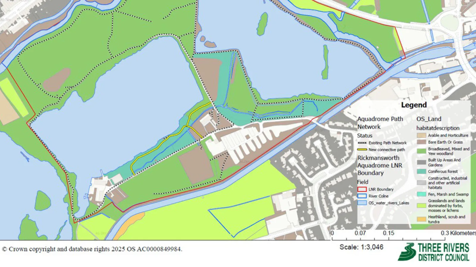
The council used the OS National Geographic Database (OS NGD) to support planning, funding, and stakeholder engagement. OS NGD Road data was used to create the HS2 –Aquadrome map, clearly demonstrating the proximity of HS2 to the nature reserve.
The inclusion of transport routes, rivers, watercourses, and an up‑to‑date basemap helped the council produce a professional resource that supported the case for external funding.
OS NGD Administrative and Statistical Units was used to create the Colne Valley Regional Park map for presentation at the Colne CAN Conference, providing a clear spatial context for a diverse audience - showing authority boundaries, the regional park extent, and a detailed basemap to help attendees locate themselves.
OS NGD Land data supported the Habitat Types and Paths map, enabling analysis of how path networks interact with different habitats, and informing decisions on how to balance public access with ecological restoration.
Contractors (Salix River & Wetland Services) used OS NGD base mapping, and data for paths, built form, rivers, and pavements, significantly reducing time spent digitising primary data, improving budget sustainability, and supporting the creation of maps for river restoration, habitat improvements, and landscape design.
Result
"With the reliability of the data, you can trust it – it’s just very easy. "
"I really think it’s the reliability for me that makes it so great. And support through OS webinars, connecting at conferences – it’s things like that you can’t put a value on. "
Using OS NGD data enabled the council and its contractors to plan and communicate a complex restoration and flood management project more effectively. The availability of authoritative, consistent mapping improved funding bids, stakeholder engagement, and design efficiency. The council were able to reduce costs associated with data purchase and staff time, and increase delivery efficiency. The council are now better placed to achieve their goals around sustainable public access, flood resilience and nature recovery.