Case studies
Discover how Ordnance Survey data is driving more efficient decisions in organisations like yours
Found 9 results
Page 1

Sustainable homes, with Southern Housing
Southern Housing is one of the largest housing associations in the UK, owning and managing over 80,000 homes across London, the Midlands, and the South East. A not-for-profit housing provider, its social purpose is the foundation for all its work. Southern Housing is determined to maximise...
Read case study
How Cambridge & Counties Bank used OS data to optimise Climate Risk Assessments and ESG Compliance
Established in 2012, Cambridge & Counties Bank’s (CCB) headquarters in Leicester have grown into a UK-wide specialist lender, helping professional property investors and all types of SMEs through a suite of relationship-based, dedicated lending and asset finance solutions. A B-Corp cert...
Read case study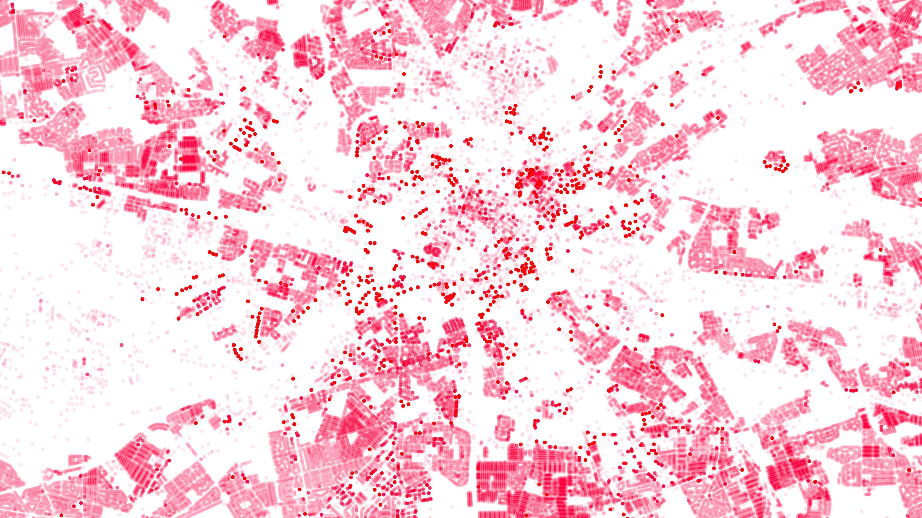
OS Data Hub used by Balkerne to offer risk intelligence platform
Balkerne has built a real-time risk intelligence platform to predict, prevent, and detect damage to property. Their digital platform, SmartResilience, integrates data using 35 different sources including location data from the OS Data Hub.
Read case study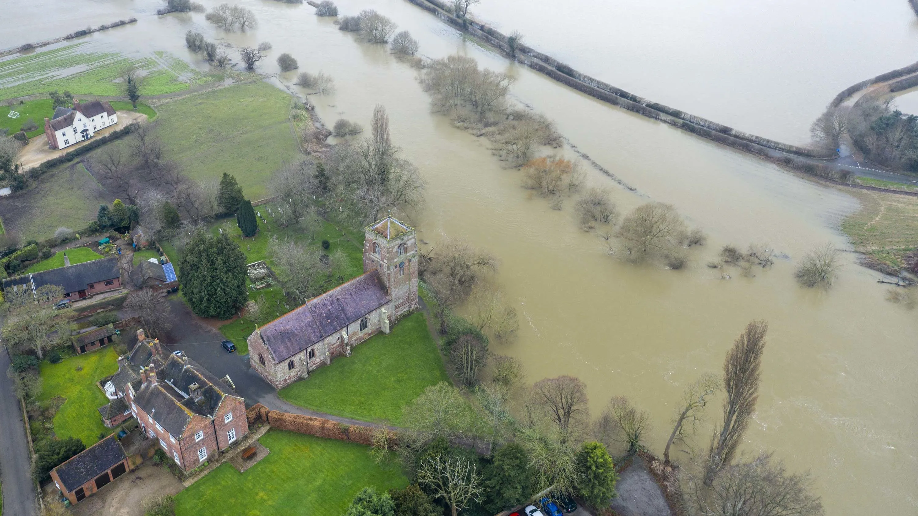
Richer data protecting people and the environment from flooding
The Environment Agency (EA) manages and mitigates flood risk throughout England, helping to reduce impacts of flooding. The EA worked with Ordnance Survey (OS) to update and improve their existing property dataset – critical to the EA’s ability to assess flood risk and respond...
Read case study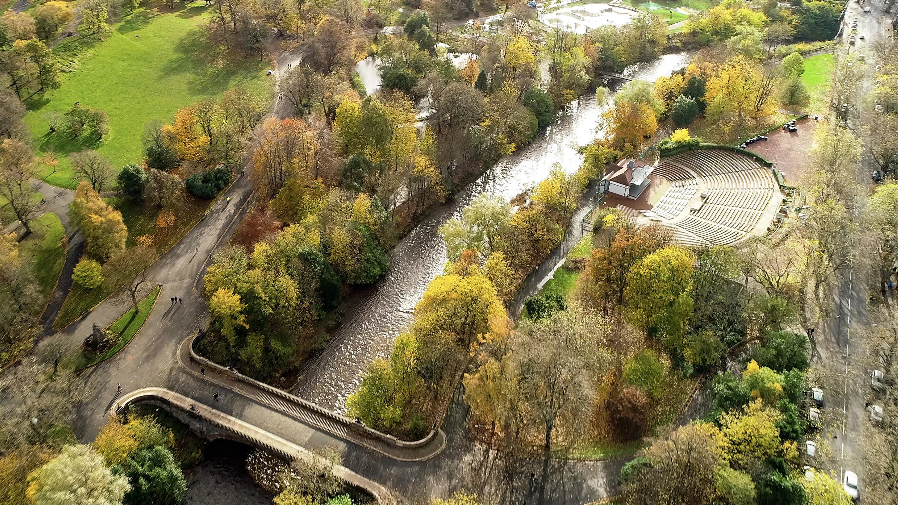
Greenspaces for green energy
Greenspace is the urban ecosystem – protecting our biodiversity, our physical and our mental health. Greenspaces are also, according to Scotland’s parks and greenspace charity, greenspace scotland, a potential source of local green energy. ParkPower is a Scotland-wide pr...
Read case studyAviva harnesses the power of geospatial intelligence
Aviva has been using OS data from the very beginning of their involvement with Geographical Information Systems (GIS) and geospatial data. Their commercial property underwriters use OS datasets to assess risk and manage accumulation. Their dedicated GIS team use their desktop GI systems (E...
Read case studyESRI UK mapping app protects York from floods
York City Council’s flood team can now easily record, share and visualise gully information on any hand-held device, thanks to an ESRI UK app and detailed Ordnance Survey (OS) mapping. This case study explains how it was done.
Read case study
Helping to safeguard moorland life
Aiding the planning of land management and restoration in conservation areas with a Land Cover Map. The South Pennine Moors Special Area of Conservation covers around 650km² of northern England. Since 2003, the Moors for the Future Partnership (MFFP) has been working to reverse more t...
Read case study
GIS improves Wiltshire flood management
Combining Dauntsey Parish local knowledge with Ordnance Survey (OS) digital maps to undertake a professional analysis of local flood impacts and risks. Dauntsey in north Wiltshire has experienced serious flooding, affecting as many as 44 homes. Using Geographic Information S
Read case study