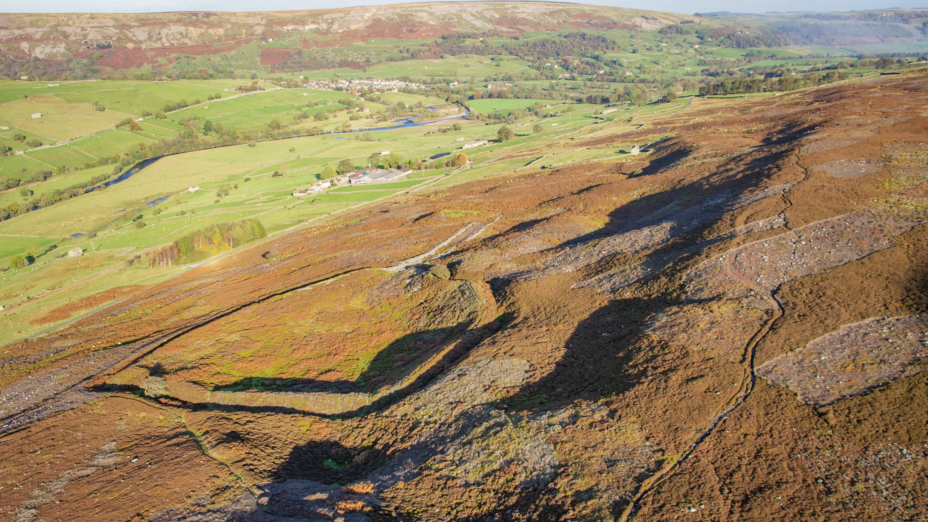
The Aerial Archaeology Mapping Explorer tool shows archaeological sites that have been identified, mapped, and recorded using aerial photographs and airborne laser scanning (lidar) across England. The map shows archaeological features not just as individual sites, but as part of complex, multi-pe...
Case studies
Discover how Ordnance Survey data is driving more efficient decisions in organisations like yours
Found 3 results
Page 1

Up-to-date maps in minutes
The National Library of Scotland (NLS) maintains one of the largest map collections in the world, offering public access to both their physical archives, and a digital view of historic and modern landscapes.

Improving map generalisation ready for the 2016 Brazilian Olympics
The Brazilian Army used improved map generalisation to prepare for the 2016 Olympics.
For over 100 years, the Brazilian Army Geographic Service (DSG) has produced topographic maps of its entire national territory.
The need to adapt this map production system to incorporate small and...
You have viewed 3 of 3 case studies