Discover the benefits of having unlimited access to a breadth of location data and services through the Public Sector Geospatial Agreement (PSGA) and Aerial Photography for Great Britain (APGB) public sector contracts.
Government & Public Sector Geospatial Events 2026
Helping deliver better outcomes with trusted location insight
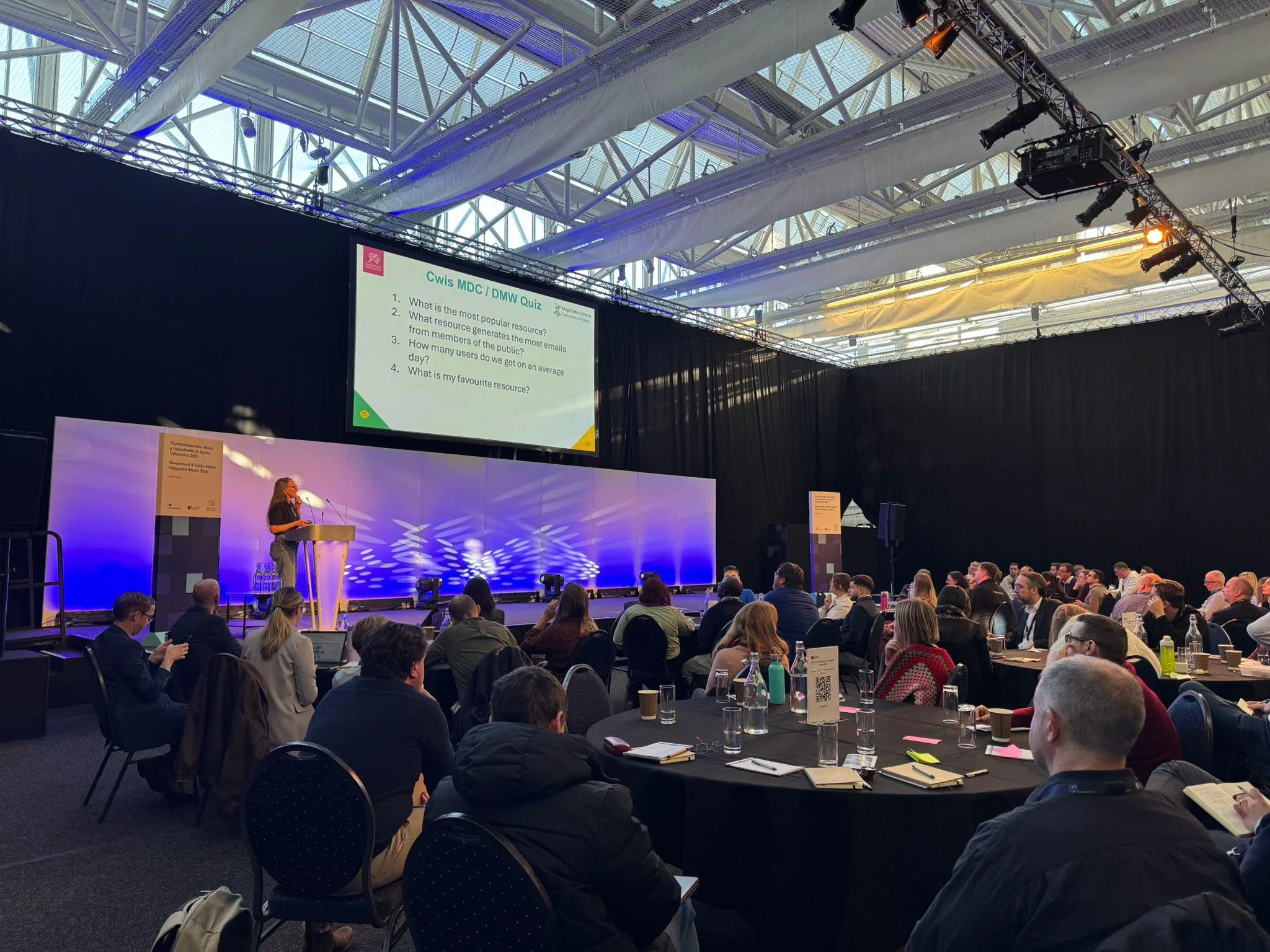
Join Government, Ordnance Survey (OS) and your public sector community at one of our geospatial events this Autumn across England, Scotland and Wales.
"Attending the Annual PSGA Conference provides invaluable opportunities to learn from industry experts, discover the latest geospatial innovations, and build meaningful connections with peers across the public sector."
Event information
National events
National events programme
- Welcome from Government Digital Service and Ordnance Survey senior leaders
- A national perspective on geospatial from Welsh and Scottish Governments
- How Ordnance Survey data is being developed and the future roadmap
- The value of OS National Geographic Database (NGD) data and support for migration
- OS Basemap Pro, the OS NGD compatible basemap, that will be available for the public sector from next year
- How Government, Ordnance Survey and other data providers are working to ensure you have access to the location data and services that best meets your future needs and challenges
Plus, hear how public sector customers are getting value from location data, how the OS Data Hub is being improved for better access, important PSGA member licence information and the latest from Aerial Photography for Great Britain.
Our exhibition space in Cardiff, Edinburgh and London will provide the opportunity to connect with OS Partners, OS data and technical experts and other key geo organisations that can support the efficient delivery of your projects and critical public services.
National events
National events programme
- Welcome from Government Digital Service and Ordnance Survey senior leaders
- A national perspective on geospatial from Welsh and Scottish Governments
- How Ordnance Survey data is being developed and the future roadmap
- The value of OS National Geographic Database (NGD) data and support for migration
- OS Basemap Pro, the OS NGD compatible basemap, that will be available for the public sector from next year
- How Government, Ordnance Survey and other data providers are working to ensure you have access to the location data and services that best meets your future needs and challenges
Plus, hear how public sector customers are getting value from location data, how the OS Data Hub is being improved for better access, important PSGA member licence information and the latest from Aerial Photography for Great Britain.
Our exhibition space in Cardiff, Edinburgh and London will provide the opportunity to connect with OS Partners, OS data and technical experts and other key geo organisations that can support the efficient delivery of your projects and critical public services.
Regional events
Regional events
We understand travel and budget restrictions can be a barrier to attending our national events in person, so Ordnance Survey (OS) are hosting supporting regional events across England where you can connect with us locally.
The programme for our regional events will be delivered through presentations, roundtables and workshops that will give you the opportunity to feedback and discuss the things that matter to you, including our roadmap, the OS Data Hub and support when migrating to OS NGD data.
OS product and technical experts will be available for you to engage with on your specific challenges and needs.
Webinars
Webinars
For anyone who cannot afford the time to attend one of our in-person events, or if you prefer to engage with us digitally, webinars will be scheduled in January 2027 and will deliver the main content presented at the national and regional events.
Further details and information on how to register will be available later this year.
Event listings by location
Register your free place at one of our national or regional events.
National events

Cardiff
Sophia Gardens
Thursday 15 October
Registration is now closed

Llandudno
Venue Cymru
Thursday 22 October
Registration is now closed

London
Central Hall, Westminster
Thursday 5 November

Edinburgh
Dynamic Earth
Tuesday 10 November
Regional events
Birmingham
Tuesday 17 November at West Midlands Combined Authority
Newcastle
Wednesday 18 November at North East Mayoral Strategic Authority
Manchester
Tuesday 24 November at Greater Manchester Combined Authority
Exeter
Thursday 26 November at The University of Exeter
"The annual PSGA event [in Scotland] is always one that Improvement Service colleagues and I look forward to. It always contains a broad range of informative presentations, and it is a great opportunity to catch up, in person, with familiar faces in the network. In recent years we have seen great collaboration and knowledge sharing at these sessions. It is one of the key industry events in the calendar and it is always great to see the different innovative uses of the data that are showcased."
Contributors








Exhibitors