You can launch a map of Great Britain or a map of Northern Ireland. Interact with the map by expanding the options bar on the left side of the screen and select the boundaries you wish to see. Read our election maps terms of use (PDF) for using our Great Britain and Northern Ireland maps.
Access election maps and find electoral boundaries
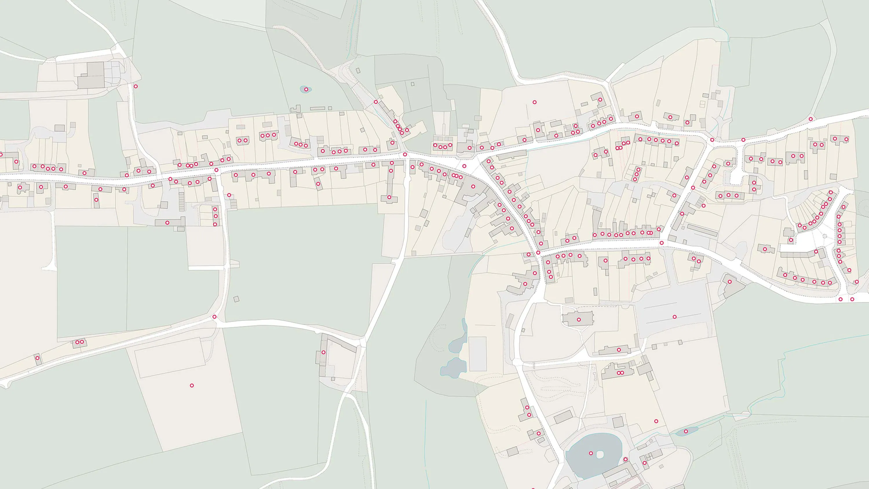
Use our election maps for Great Britain and Northern Ireland to explore the electoral geography of the UK
Find electoral boundaries easily
Great Britain election map
Northern Ireland election map
Electoral boundaries
If you are an elected representative, candidate, or party worker, these maps will be particularly useful to you. Choose from a variety of administrative and electoral boundaries to overlay on the political map. The maps clearly show the electoral constituencies against various scales of mapping background.
Electoral boundaries shown for Great Britain and Northern Ireland are those in effect on 5 May 2022. For more information, see our Boundary-Line support page.
When will the new Election boundaries be made available to the public?
Our plan is to release a single layer download of Boundary-Line on the 1st March 2024. We then plan to release a supplementary file in the May 2024 release of Boundary-Line.
Related information
Land ownership and property boundaries
Access information on legal boundaries and how to purchase large-scale maps used for planning permission.
Unique property reference numbers
Information and guidance on how to use and access unique property reference numbers (UPRNs).
Contact us for election map queries
Get in touch for any queries relating to election maps.