A new level of clarity and insight

The best decisions in banking and insurance depend on having the best data. Whether you’re assessing individual mortgages and home insurance policies, or conducting risk assessments for large commercial sites, you need to eliminate doubt and get the insights necessary to adapt in a fast-changing landscape.

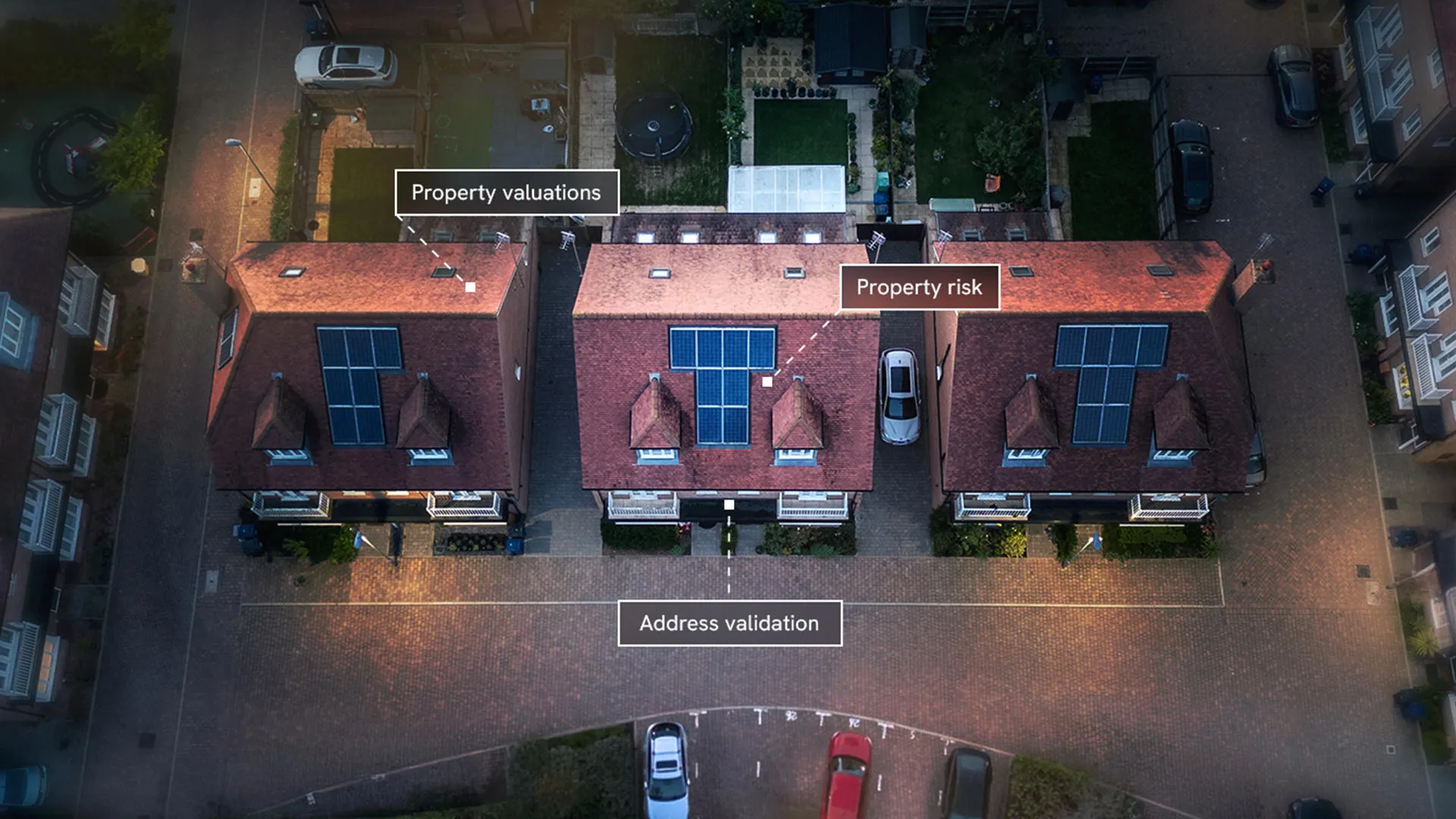
With OS data products embedded into your systems, you can access trusted and accurate data that goes beyond the address. Understand your sites, the roads and pathways, the nearby water networks – we can provide the geographic factors you need to know about.

We can bring greater clarity and insight to your portfolio.

Know where the risks are. Know that customers are who they say they are. Make locations uniquely identifiable. And be able to offer more personalised services.

How can geospatial data help?

Risk assessment/modelling

Accurately model potential perils affecting insured properties.

Risk accumulation

Pinpoint the location of insured properties, understanding proximity to existing customers to manage concentration.

Onboarding

Streamline customer experience and reduce queries with authoritative property data.

Europa TechnologiesEsri UKExperianIdox GeospatialLexisNexisVerisk

Take the next step

Find out what OS location data can do for your business. Get in touch to discuss your situation with our team, and learn where OS data can help, from reducing risk to improving efficiencies and customer experience, and more.

"Working with OS, I feel I'm talking to experts, I'm talking to human beings rather than talking to the helpdesk. Because of Ordnance Survey data, it helps utilise the capital, the investment we have in insurance companies, we use that more efficiently which helps keep our expenses down and we can reflect that in the cost ultimately to the consumer as well."

Dan Bishop, Head of Insurance Analytics at Hiscox UK

OS data for insurance

Enhance insurance risk analysis with accurate data you can rely on.

  • Streamline and personalise customer onboarding and underwriting
  • Deliver more competitive pricing
  • Mitigate accumulation risks
  • Reduce overall risk

OS data for retail banking

Make critical lending decisions with confidence and never miss an opportunity.

  • Get clarity on the existence, state, and use of mortgaged properties with GIS (geospatial information system) for mortgages
  • Better analyse mortgage values
  • Simplify and boost the accuracy of fraud checks
  • Get the ability to carry out geospatial mortgage modelling
  • Gain the insights to better personalise customer experiences

Financial services case studies