Remotely screen potential development sites in minutes, using definitive, maintained Ordnance Survey data on access, site viability and local amenities.

Appraise more sites. Visit fewer. Decide with confidence.
See site assessment in action
Book a demo using real development scenarios.
Finding viable land has never mattered more
A policy commitment to build 1.5 million homes is putting pressure on developers to find and unlock viable land, fast.
Developers and planning consultants need to appraise a potential site quickly to decide whether it merits deeper investigation. Three questions matter most:
Are there legal access routes to the site?
Is the site physically viable?
What local amenities and services are nearby?
The hard part is judging a site without visiting it
Appraising sites remotely — quickly and consistently — is hard.
Today, teams pour time and money into visiting sites, many of which turn out to be unsuitable. Without a consistent, data-led triage, good sites get missed and unsuitable ones get over-investigated.
Three answers that tell you if a site is worth pursuing
One interoperable set of OS data, three critical answers, before you commission a single survey.
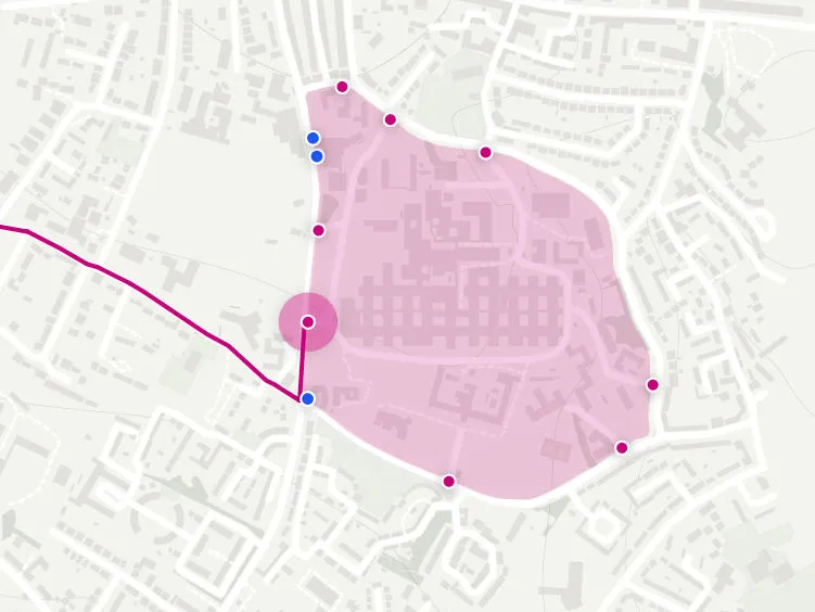
Can you get to it, and build on it?
Our data describes every road, track and path in Britain — classified by type, surface, physical level and gradient, and attributed with legal maximum width, height and weight, plus hazards such as fords and severe turns. Interrogate and visualise the access available to any site and the implications for vehicular access, for a rapid read on access feasibility.
Powered by NGD Transport.
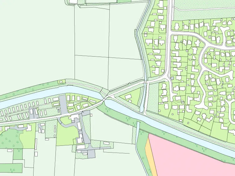
What's actually on the ground?
Every land parcel is classified by land cover, the type of vegetation and whether the ground surface is sealed, while structures such as bridges, pylons, masts, walls and hedges are identified and measured. Generate a consistent, high-level view of likely development costs across sites, supporting an algorithmic approach to cost estimation.
Powered by OS Land — optionally enriched with OS Terrain 5 and OS 3D Mesh.
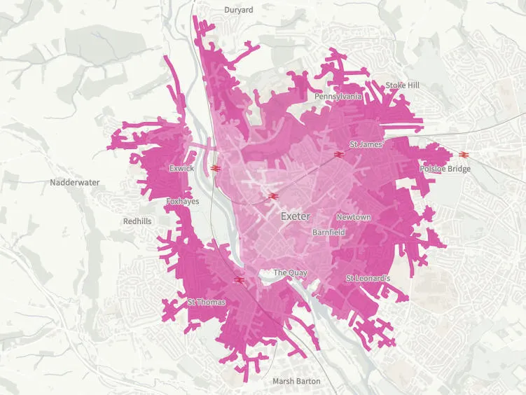
What's nearby, and how easily can people reach it?
Detailed address classification pinpoints schools, surgeries, dentists, libraries, sports centres, pubs, cafés and shops — and lets you measure current provision relative to the local population. Add transport and routing data to assess accessibility on foot, by bicycle and by road.
Powered by OS Address & OS Transport.
What this means for your team
Everything you need to triage a site with confidence:
Rapid access assessment
Quickly establish the access feasibility of any potential site.
Cost clarity without surveys
Generate a consistent, high-level view of likely development costs across sites, without commissioning surveys or site visits.
Smarter amenity planning
Save time and money gauging current service and amenity provision, and assess what additional services may be required.
Need to discuss a project?
Speak with our specialists about your site assessment challenges.
Authoritative data behind every assessment
- Rigorously maintained to a consistent specification across the whole of Great Britain: quality-assured, with clear provenance metadata.
- Built on the National Geographic Database: rich cross-references support sophisticated query and analysis.
- Analysis-ready and map-ready: data is fully aligned with its detailed cartography for effective visualisation, communication and reporting.
- Unlike ad-hoc local sources, open data, or doing it in-house.

See it on one of your live sites
Book a 30-minute demo and we'll run a real site through the assessment process.
Book a demo