Insights
Explore expert geospatial insight and thought leadership
Filters (1)
Page 1
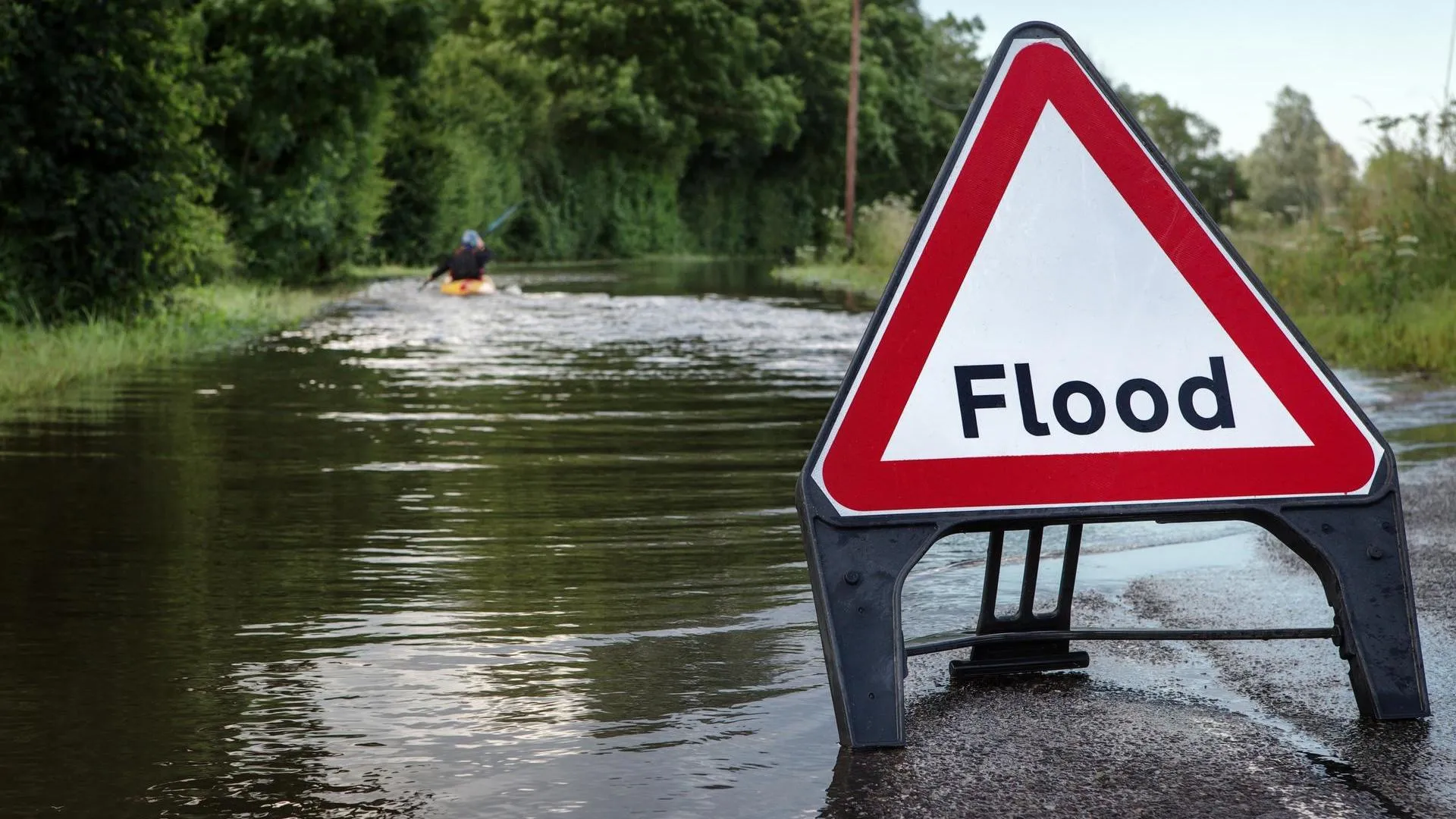
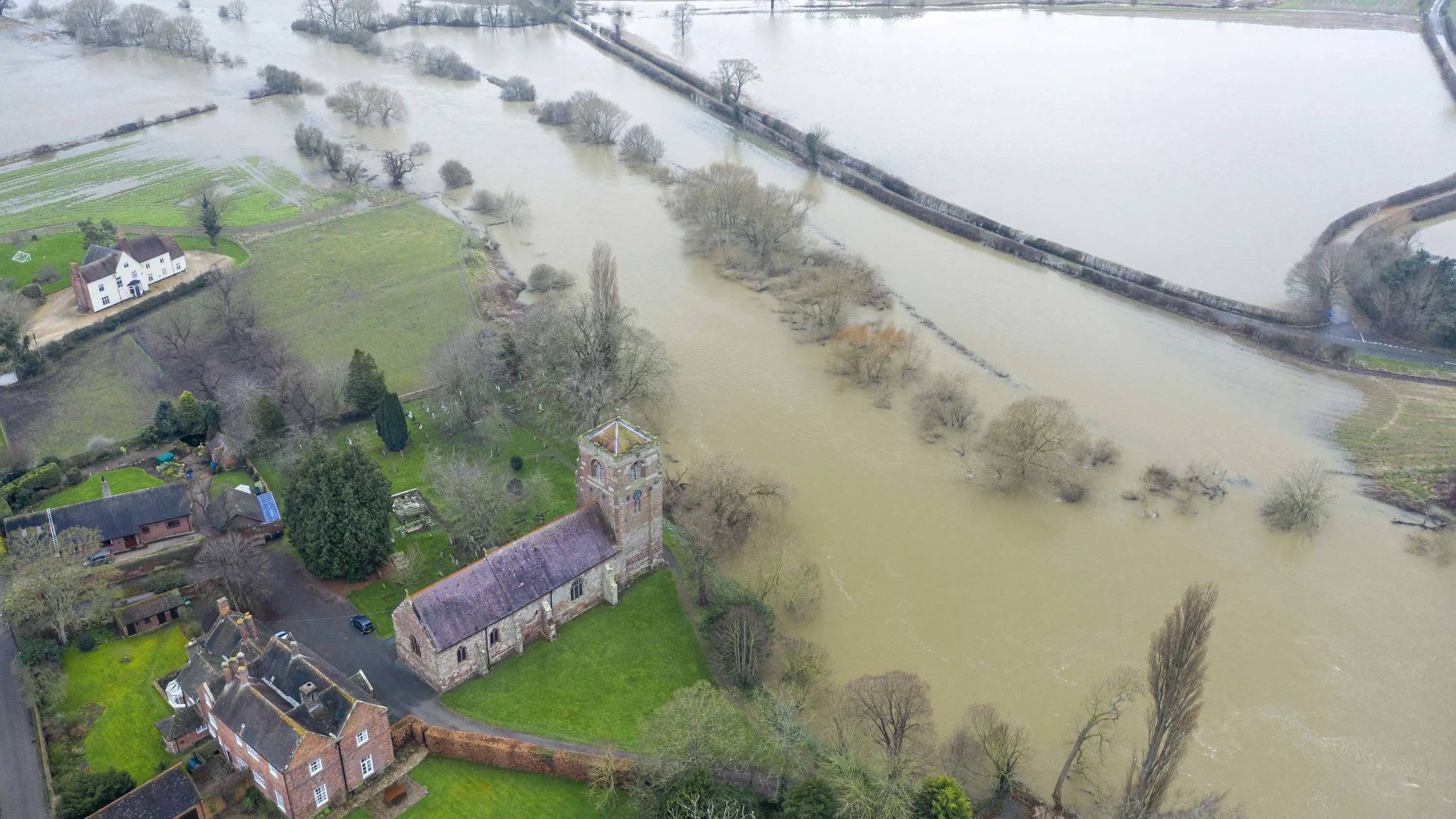
Climate-related flooding events threaten to cut off more towns and commuter routes across England
Ordnance Survey has identified road and rail pinch points most vulnerable to river and sea flooding.
- Insight
Meeting the Bank of England climate standards with OS location data
How insurance and retail banking organisations can use location data to manage climate-related risks, in line with Bank of England expectations and compliance due June 2026.
- Insight
MapServe® - the architect’s secret to save time and money
Powered by OS data, this 3D modelling tool is becoming the one-stop shop on a desktop for professionals in the land and construction industry.
- Insight
There’s never been a better time to assess geospatial readiness
OS offers a free geospatial readiness assessment with an instant snapshot of your geospatial and operational readiness, with a report emailed to you.
- Insight
Building a better world with sustainable urban development
Geospatial information and technology helps government organisations become smarter, collaborate better, reduce costs and improve services.
- Insight
Smart technology - connecting time and place with geospatial data
Geospatial data provides a crucial additional layer to ensuring smart technologies are fully integrated and effective at improving the lives of citizens
- Insight
Safer roads with anti-collision and detailed mapping
For local authorities and utility companies, up-to-date digital maps are essential for the management of cities and monitoring of infrastructure assets.
- Insight
The National Park, Re-Imagined
Everything happens somewhere pictures a new vision for a National Park in the West Midlands hopes to challenge perceptions of the region.
- Insight