Safer roads with anti-collision and detailed mapping
Detailed, up-to-date maps are essential for the management of cities and infrastructure assets. It can also help to highlight collision hotspots and hazards in busy cities, and monitor the utility company assets that keep our electricity and water supplies running.
It can also help to highlight collision hotspots and hazards in busy cities, and monitor the assets that keep our electricity and water supplies running.
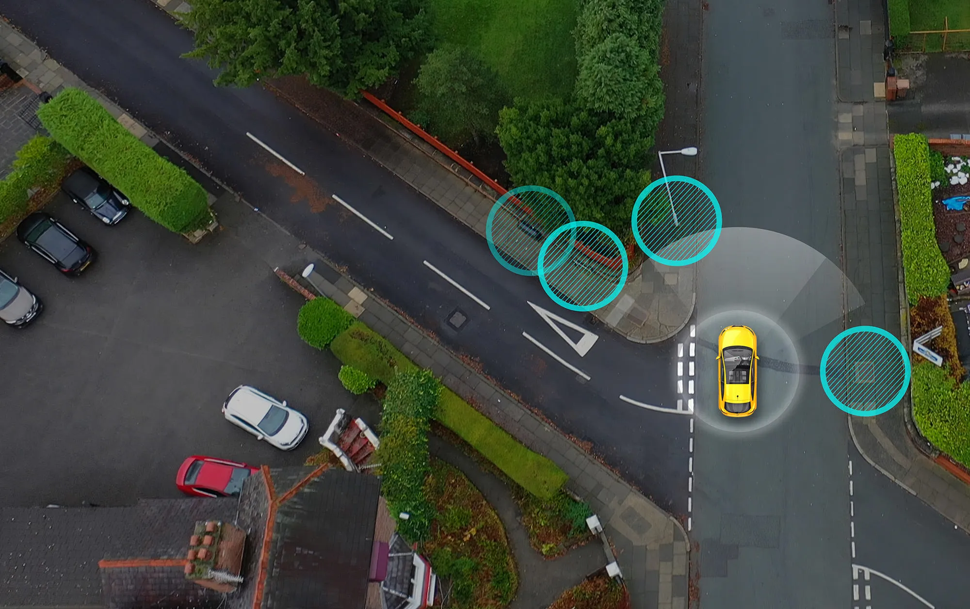
Mobileye technology uses computer vision and artificial intelligence to identify objects and warn drivers of potential collisions. We’ve partnered with local authorities and utility companies to use the object recognition capacity of this technology to help build detailed roadside asset maps. We are essentially turning Mobileye-equipped vehicles into intelligent agents and using them to gather information about city infrastructure and roadside assets as they drive.
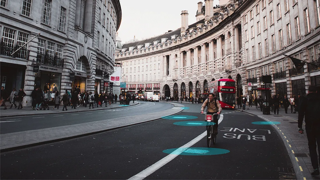
Our technology, known as an advanced driver assistance system (ADAS), uses a camera to scan the road ahead for possible hazards. It warns drivers of a possible collision, giving them time to avoid it, or at least lessen its severity. It’s a system that over the years has succeeded in helping fleets who use it to reduce overall collisions. Abellio London, for instance, was able to lower avoidable collisions by 30% after installing Mobileye.

The technology’s ability to collect data quickly and efficiently makes it useful for applications beyond collision avoidance systems. Public bodies, local authorities and utility companies can use it to help build up-to-date digital maps.
We can supply detailed, up-to-date information that local authorities and utility companies need for a number of reasons – sending crews out to the exact location of an asset, monitoring construction work, preventing damage to underground infrastructure and rapidly identifying damaged assets. This information can be used to provide municipalities, businesses and others with useful insights.
We are currently working with Ordnance Survey and Northumbrian Water on a data collection project aimed at creating high definition roadside infrastructure maps of the United Kingdom. Northumbrian Water Group vehicles have been fitted with Mobileye technology to help capture data across the North East of England.

For utility companies like Northumbrian Water, our infrastructure asset inventory offers higher quality data on assets with minimal added expense and effort. Simply by using existing vehicles, traveling along their regular routes, Northumbrian Water can quickly and easily identify, map and link above-ground and underground assets – and monitor their condition.
The Northumbrian Water fleet has already mapped almost six million roadside features. These include more than 1.7 million manholes, drainage grates and service covers, 220,000 road arrows, 150,000 road line markings, 3.6 million road signs and 90,000 traffic lights.
This technology will also help to locate blocked drains, identify malfunctioning street lights, and monitor construction sites – lowering the chances of damaging infrastructure during maintenance works. The system also provides vehicles with the extra level of safety offered by a collision avoidance system.
Our work with Ordnance Survey is an important step towards building the digital infrastructure that will support connected and autonomous vehicles (CAVs), which are already making their way onto our streets.
CAVs are reliant on accurate, high-definition maps with high refresh rates. By collecting data about the roadside, we are developing a way to leverage ADAS systems to help create these maps – helping to facilitate the introduction of CAVs.
Our work with leading vehicle manufacturers means our technology has been stress-tested in the real world for over a decade now. Mobileye technology can already be found in over 50 million vehicles worldwide – this includes new vehicles produced by over 25 leading manufacturers. By 2022, there should be over 22 million Mobileye-equipped vehicles on the road capable of data collection.
We are currently working with the city of Barcelona, where the city government is using Mobileye technology to map locations where we’ve identified the highest number of near-collisions. This allows them to tackle high-risk areas by taking action to reduce the risk there before collisions occur.
Our newest system, Mobileye® 8 Connect™, has the ability to communicate with the cloud. This kind of technology is essential for creating the data exchange systems needed for data collection and the safe operation of CAVs.
A future of smart cities and safer streets is within reach as collaborative efforts between technology companies and public bodies begin to equip governments and businesses with high precision mapping data and collision prevention technology.
VP & Deputy GM of Intelligent Mobility Solutions, Mobileye
Lior co-leads Mobileye's intelligent mobility solutions division, including product design and engineering, production, go-to-market strategy, and financial oversight.