The donation of field survey kits to the Bahamas will strengthen national surveying and geospatial capacity
The initiative marks a milestone in the relationship between the two countries
Press Office
The donation will enhance practical training and support the continued advancement of surveying, mapping, environmental management, infrastructure planning, disaster resilience, and sustainable national development across the Bahamas. The donation grew out of a technical exchange visit by Bahamas National Geographic Information Systems (BNGIS) officials to the UK last year when a need for high-quality survey instruments was identified.
The Leica kit was flown over by the Royal Air Force and welcomed by the British High Commission, the Bahamas Government and the BNGIS at a handover ceremony. Zane Lightbourne, the Minister of Environment and Natural Resources in the Bahamas Government, described the donation as a milestone, and an investment in people, education, and the future of the surveying and geospatial professions. He also highlighted that the government’s relationship with OS dated back to the early 1950s. when surveying and mapping efforts played a critical role in supporting national development in the Bahamas. He added:
“Today, this long-standing relationship continues to support capacity building, knowledge exchange and the growth of the geospatial sector in the Bahamas.”
The donated equipment will be distributed by the BNGIS to educational institutions, government agencies and surveying organisations, supporting technical training, capacity building and the ongoing development of geospatial expertise across the country. The former OS equipment had been replaced by new kit for OS surveyors.
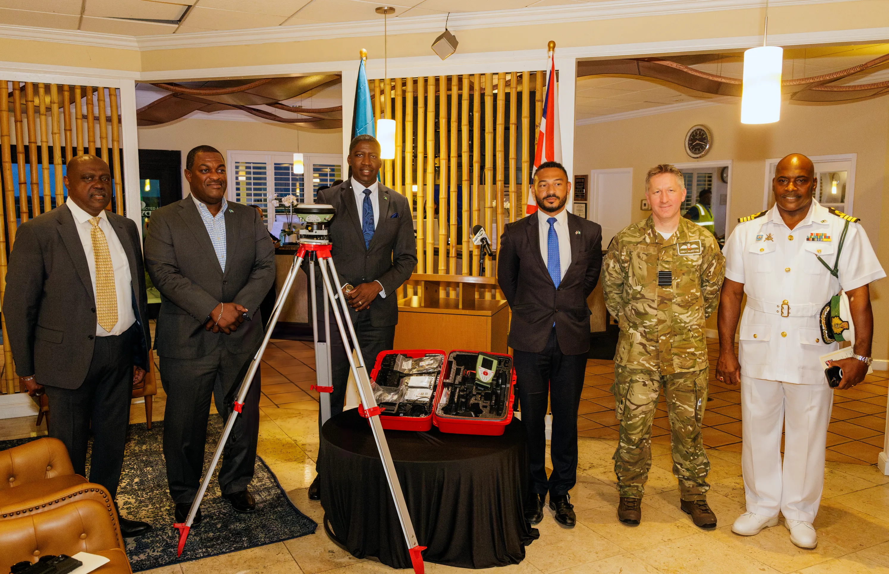
"This is an investment in capability, partnership and the long-term development of geospatial expertise in The Bahamas. Partnerships like this demonstrate what can be achieved when expertise is shared, institutions work together, and countries invest in one another’s success."
The handover was the result of months of planning and collaboration by OS teams. It was essential that the equipment was fully configured and fit for purpose in its new role. Donation agreements were established, 170 kits were prepared and packed, and logistics coordinated with the RAF to ensure a seamless transfer. Every receiver, battery, and ancillary component was carefully inspected, catalogued and documented, ensuring the equipment arrived safely and ready for operational use.
James Norris, Head of International Affairs at OS, said:
“The work that National Mapping and Geospatial Agencies do to produce, develop and share foundational geospatial information is key to national development. This opportunity came at the right time for both BNGIS and OS and is an example of OS’s commitment to sharing knowledge, skills, and in this case survey equipment, with our partners across the globe."
The donation to the Bahamas supports OS’s priorities for International Engagement.
Sharing the latest news about OS. We can license you to use OS maps in print, online and film format. For more information and resources for journalists, bloggers and media professionals, email pressoffice@os.uk or call 023 8005 5565.
Find more news
- Geospatial technology
- International government