News
The latest news and press releases from Ordnance Survey
Filters (0)
Page 1
New digital tool helps farmers boost biodiversity in Scotland
NatureScot is testing a new tool which will help farmers and crofters consider nature in their business management.
- News
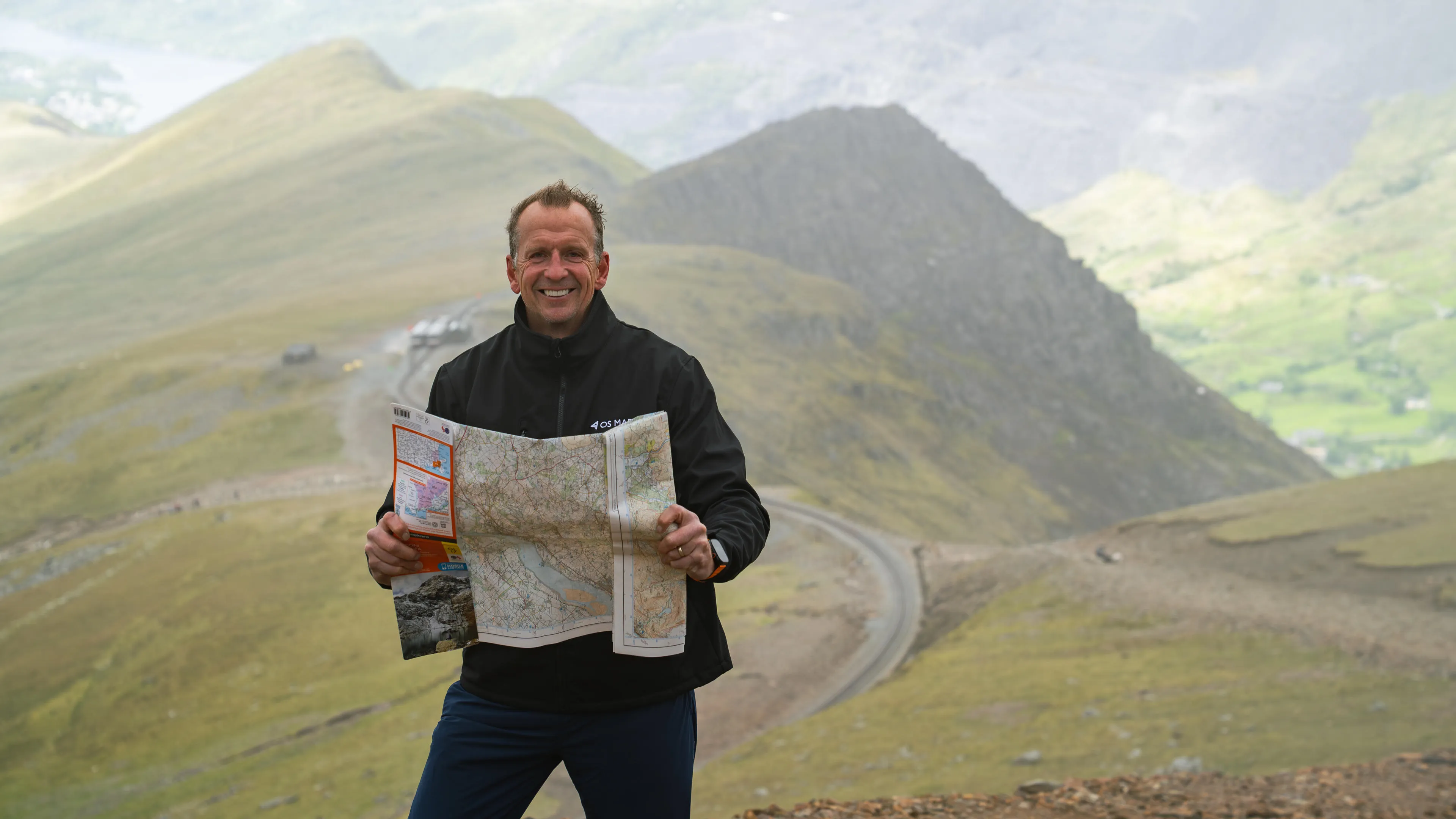
New research reveals the average Brit has only visited 10 counties in their lifetime
New OS poll finds British adults have never spent any time at all in vast swathes of England, Scotland and Wales.
- News
Arup and Ordnance Survey hit major milestone in development of national heat network zoning model
Supporting the Government's target for heat networks to provide a fifth of all heat by 2050
- News
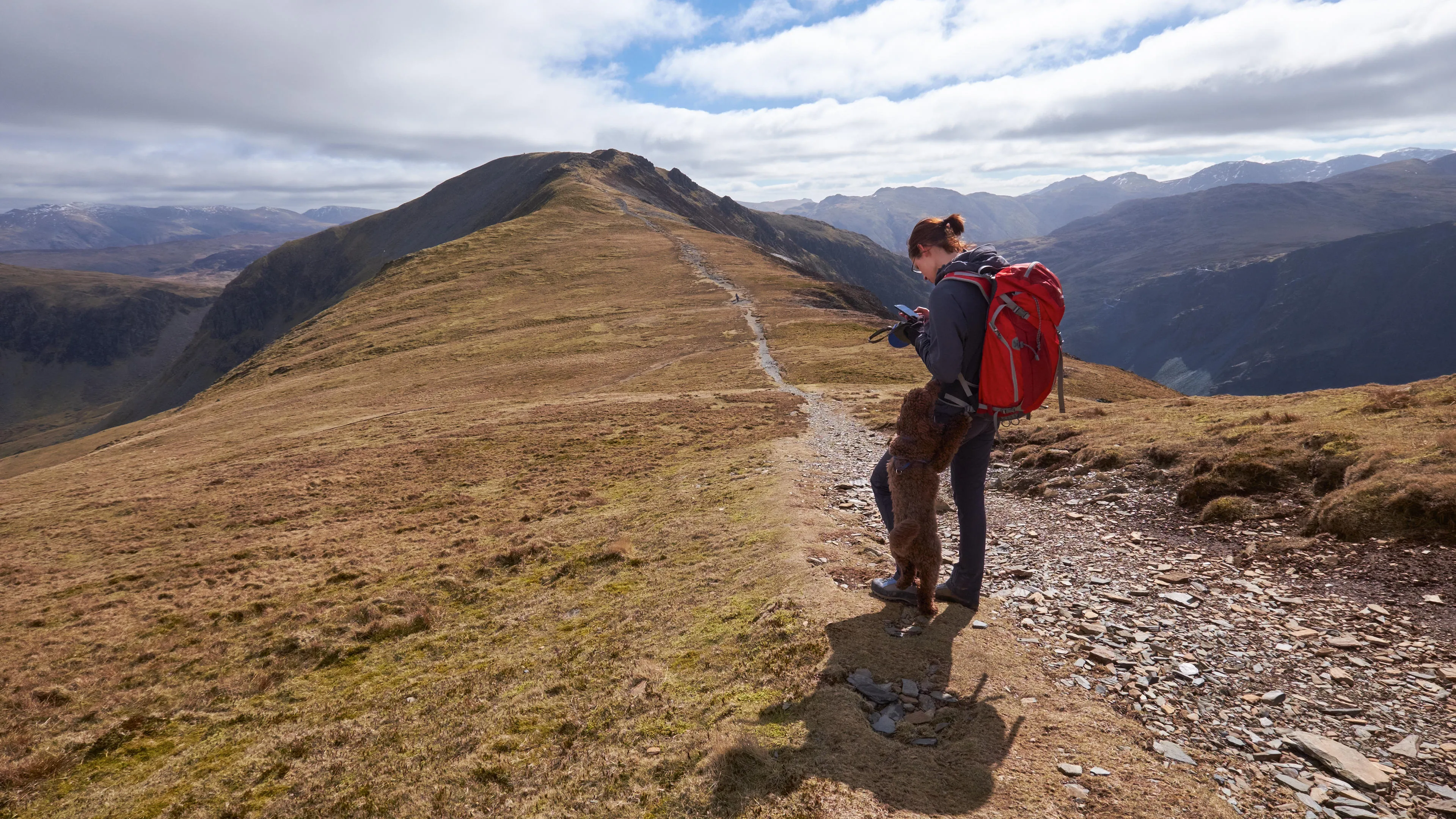
Ordnance Survey highlights health benefits of walking 7,000 daily steps
Brits do an average of 6,478 steps a day – but feel guilty about it.
- News
How the Welsh Government is leading the way with a single mapping and data platform for Wales
Whether empowering the public or supporting local authorities in decision-making, the DataMapWales portal plays an essential role, supported by Ordnance Survey data.
- News
Iconic Blackpool Pleasure Beach mapped in unprecedented 3D detail for the first time to aid emergency services
The mapping will support safer, more effective emergency planning and response.
- News
How Ordnance Survey is bringing together leaders and innovators to explore how location can help tackle real-world challenges
The OS Innovation Festival in June will build on the success of last year's inaugural event, with more than 250 people expected.
- News
Ordnance Survey recognised for leadership within the global geospatial sector
Ordnance Survey has been awarded National Geospatial Agency of the Year by Geospatial World.
- News
Ordnance Survey data reveals Britain’s most walkable towns
New analysis reveals the best places for walking without ruining your white trainers, for hill-walk repeaters, and for pushchairs and wheelchairs to name a few.
- News