Fascinating new book brings Ordnance Survey’s illustrious archives to life
Press Office
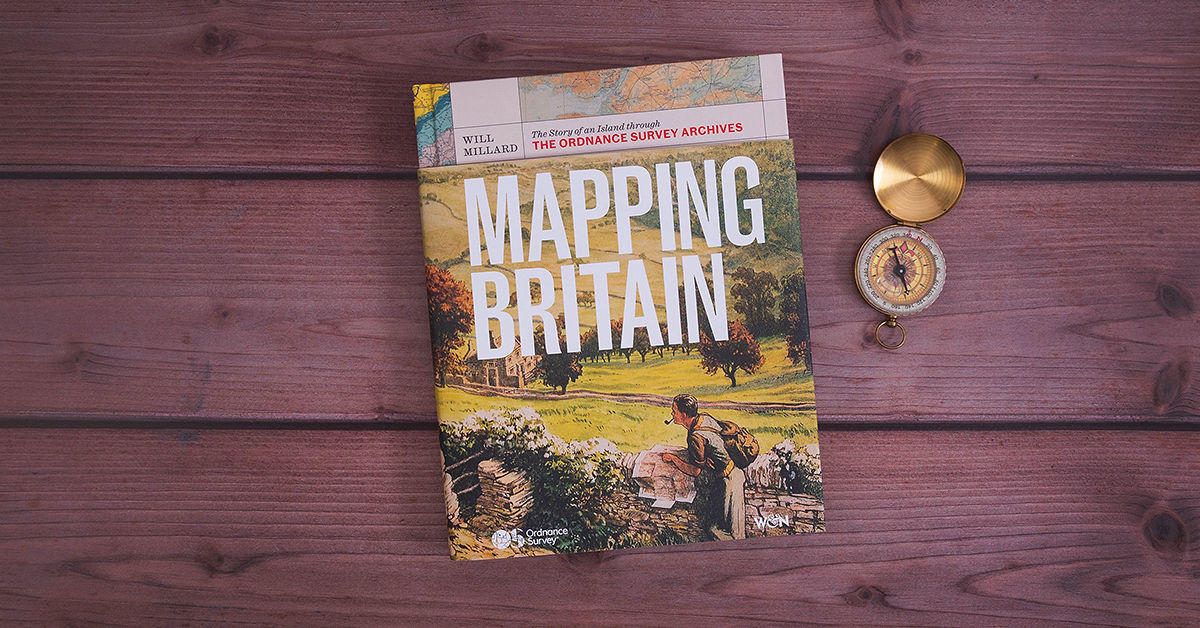
Illustrated with over 200 OS maps, photographs and data visualisations, ranging from the first British road maps through to the latest digital cartography, the book captures tales and anecdotes that uniquely explain the biggest shifts in the island’s landscape.
The OS archives are comprehensively mined to chronicle stories of map-making, trails and transport, dramatic changes in fortunes for towns and cities, wars, royalty and Britain’s wild natural environment, among many other topics.
It is inspiration for anyone who loves walking, geography, British history or who is fascinated by maps.
Nick Bolton, CEO of Ordnance Survey, said: “What I love about the Mapping Britain book is how it shows a clear line that connects what the Ordnance Survey of today is doing to what we have done in the past.
“If all the book did was just tell the story about our history without putting that into the context of our present and future, we'd have missed a trick. This book captures it all and that’s what makes it so interesting.”
Six most revealing places for hidden history in Mapping Britain
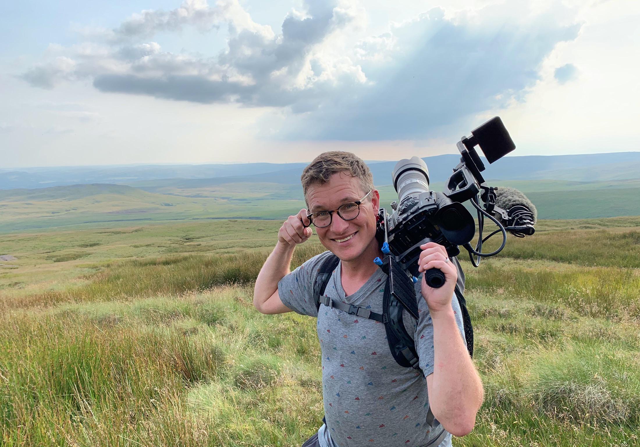
Mapping Britain was written by author, broadcaster and explorer Will Millard. Will, presenter of BBC's Hunters of the South Seas and My Year with The Tribe, spent two years researching the book using material from the OS archive and other historical sources.
He picked out his favourite stories that he discovered while writing the book.
1. Rockingham Forest, Corby, Northamptonshire
Will said: “One of the sadder stories you learn from studying OS maps is seeing forests disappear because of industry. One of these examples occurred at Rockingham Forest in Northamptonshire.
“It used to be one of the great Royal Forests in England and extended unbroken for 33 miles from Stamford to Northampton. Historically, Corby was an indistinct forest village there. But in the 20th century it became a real industrial centre when iron ore was discovered. Corby was established as a town of steel, which brought with it a monumental change for the local economy. This had profound consequences for Rockingham Forest and left it a shadow of what it once was.”
2. Tower of London
“I always had the impression Queen Victoria was a cold woman.
“But when she came to power people were still being executed outside the Tower of London on Tower Hill. She was appalled. Within the Tower itself there had been infamous beheadings in history such as Anne Boleyn, Katherine Howard and Lady Jane Grey. Queen Victoria insisted on finding out exactly where they had happened and put a commemorative stone within the Tower grounds to mark that.
“Hers was the first important, authoritative voice to say this isn't the right way to treat people; this shouldn't be fun; it's not a spectacle; it's not a day out; it's barbaric. I found that surprisingly warming.
“By the time she finished her time on the throne, public executions had been outlawed. Today, when you visit the Tower of London, there's a proper memorial within the grounds showing where those executions happened.”
3. Prussia Cove, Penzance, Cornwall
“There’s such an evocative piracy narrative you understand whenever you visit the coast of Cornwall. You get the idea of interlocking bays and the warren of coves where people could smuggle from. The most notorious piracy family down there was the Carter family, who controlled the entire smuggler trade from a base located within the cove. When visiting, you really get that feeling you are walking over an area where there were tunnels for smuggling goods.”
4. Ancient Cistercian Monk Trot (between the ruins of Strata Florida Abbey and Abbey Cwmhir), Ceredigion, Wales
“This is a route that goes between two ancient, isolated and very conservative Christian Cistercian monks' abbeys that existed 800 years ago. The monks were very pious people and chose to establish their abbeys in one of the most remote corners of Britain. This pathway was cut out of the peat to go through an isolated part of the Cambrian Mountains. It’s so isolated you can still go there today and find it. It’s an endangered pathway, and people on scramblers and 4x4s go up there now and ride on it. It's one of those great examples of British history where people don't realise what they're walking on.”
5. Preston bypass (M6), Lancashire
“The first section of the M6 bypass sprang out around Preston in the 1950s. It was the first motorway ever built on this island. You understand historically what that meant in terms of our trade, our freedom of movement, and how excited people were as well about this new thing. It came with the development of the motor car. Back then, the engines weren’t even good enough to drive at the maximum speed of 70mph.
“I suddenly found myself really interested in a fascinating period of our modern history.”
6. OS Memorial Garden, Southampton
“The most emotionally impactful maps I found were the trench maps of the Western Front during the First World War, particularly the Somme. That map is a truly harrowing reminder.
“On the Western Front the OS would ultimately map 6,000 square miles, but 67 OS staff members were also killed in the line of duty. That represented just over one in every 16 of the OS staff members who were sent to serve their country. Truly, a terrible loss to the organisation, which is commemorated in a poignant tribute found in the Memorial Garden at OS HQ in Southampton.”
Mapping Britain: The Story of an Island through the Ordnance Survey Archives is published by Orion Books and priced at £35. It is available from the OS Shop and major booksellers.
Sharing the latest news about OS. We can license you to use OS maps in print, online and film format. For more information and resources for journalists, bloggers and media professionals, email pressoffice@os.uk or call 023 8005 5565.
Explore OS Maps
You can share your walking, cycling or running routes in Great Britain by downloading the OS Maps App on your phone, PC or laptop
Find more news
- Maps and cartography
- History
- General public
- Education and recreation
- Consumer
- Great Britain
- United Kingdom