National Underground Asset Register breaks another barrier
Press Office
The milestone is the latest in a series of breakthroughs for the NUAR platform, which is intended to increase industry co-ordination underground and assist avoiding dangerous and costly strikes to cables and pipes.
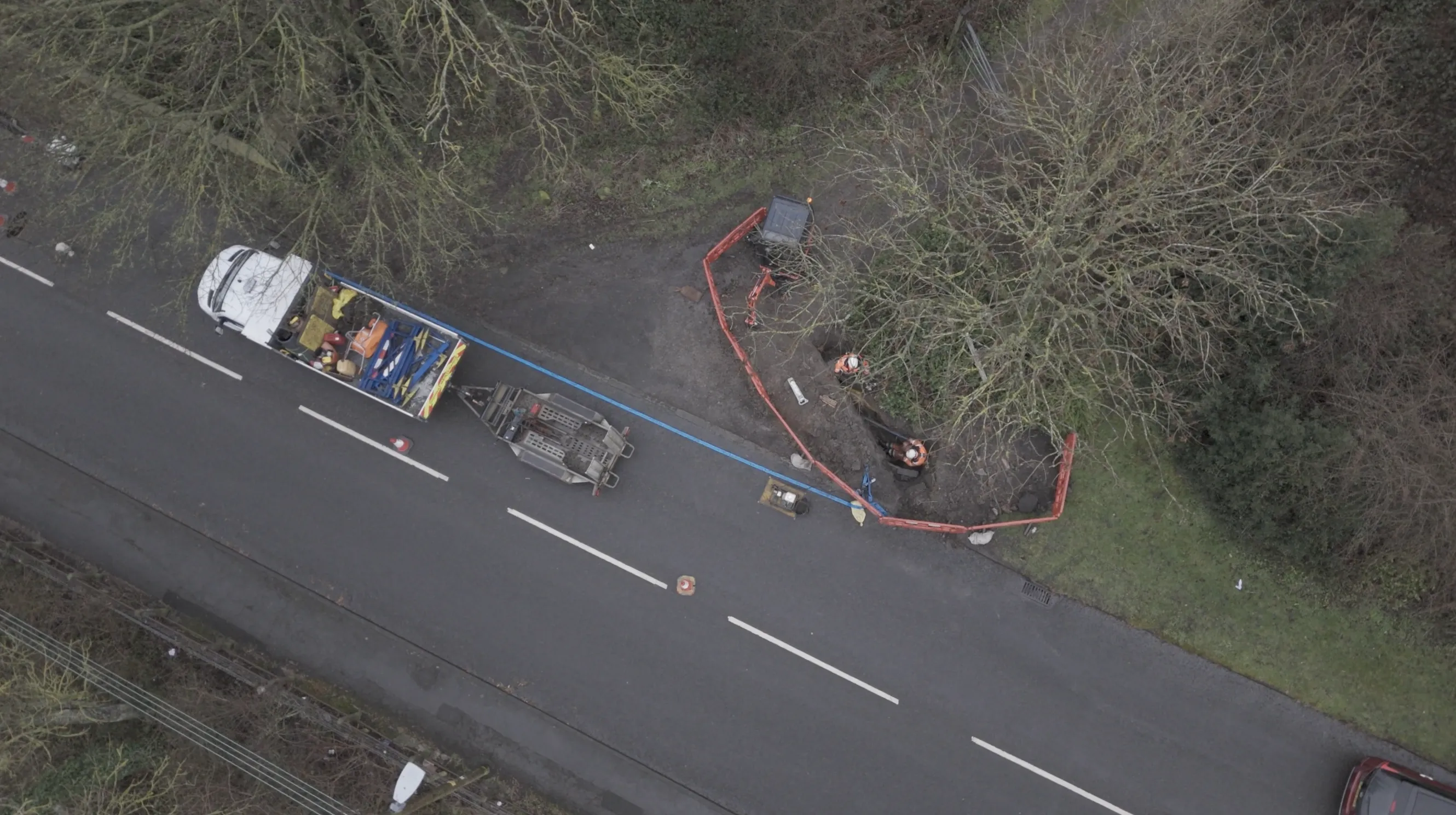
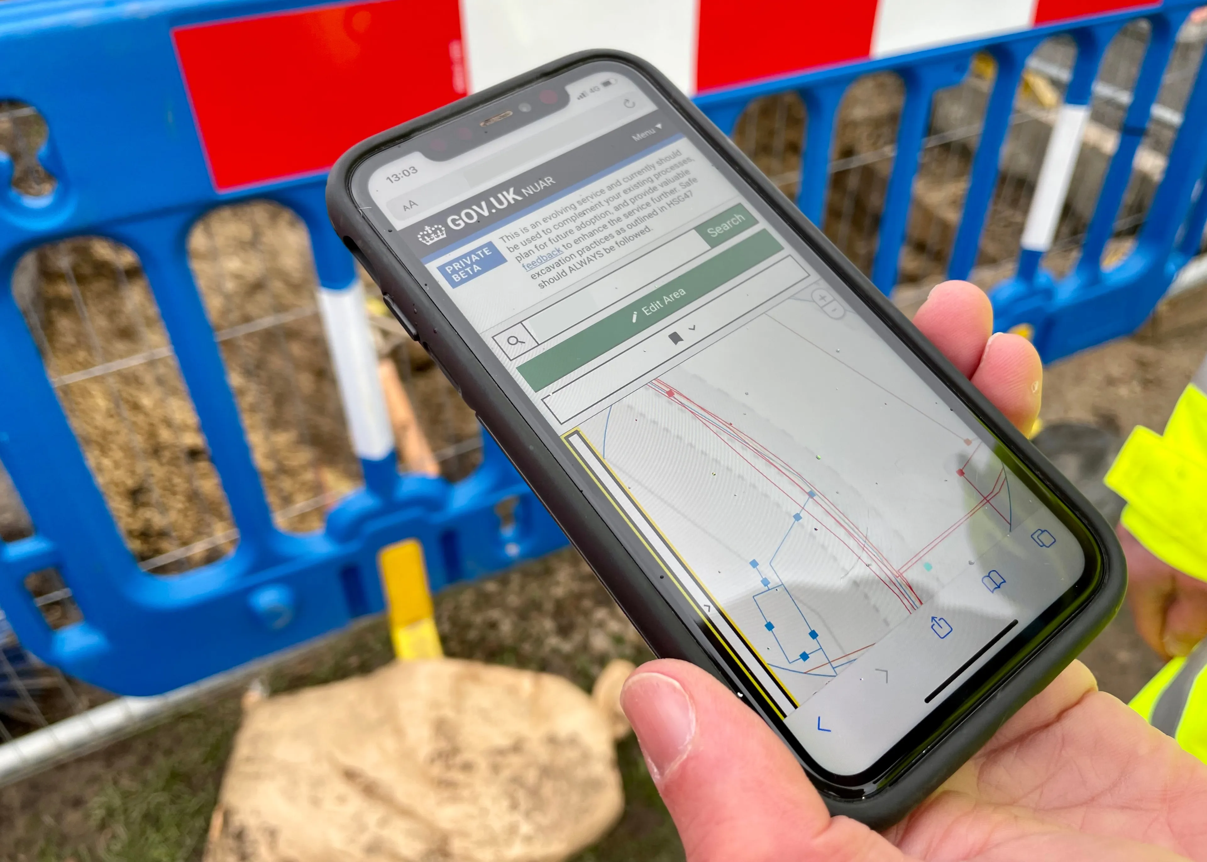
NUAR is a government digital service, operated by Ordnance Survey (OS), that provides instant access to a secure and standardised map of underground pipes and cables in England, Wales and Northern Ireland. It has been designed to improve the efficiency of how buried infrastructure is installed, maintained, operated and repaired, and provides secure access to data for asset owners across the public and private sectors. It brings together details of underground infrastructure into a centralised platform, with standardised formatting and styling, to augment existing safe digging practices.
Milestones
Since OS was awarded the operation of NUAR by the government in 2025:
- Use of the platform has grown by 115% (by volume of transactions).
- Asset records from more than 400 asset owners across both the public and private sectors have been added.
- Over 230 supply chain contractors access underground asset information securely on behalf of asset owners.
- 100% of Distribution Network Operators (DNOs) in electricity, and water companies, have signed up.
- The data in NUAR covers over 80% of all known underground infrastructure in England, Wales and Northern Ireland.
- Over 3.2 million kilometres of pipes and cables have been mapped.
- Over 70% of local authorities and 90% of highway authorities have signed up to share data on their critical assets in NUAR.
- It takes 60 seconds for users to access the data and visuals on the system.
From a statutory point of view, the Data (Use and Access) Act, under which NUAR sits, received Royal Assent in 2025. This put NUAR on a statutory footing and updated the existing legislation which governs the sharing of underground asset information.
The next phase of government policy is to establish NUAR as a comprehensive statutory register, ensuring underground asset information is recorded and maintained consistently across England, Wales and Northern Ireland.
In June 2026, a memorandum of understanding was agreed between the Government Digital Service and online utility asset owner search service Linesearch BeforeUdig (LSBUD), to integrate NUAR with existing and proven safe-dig services. OS is also working with other service providers on safe digging practices.
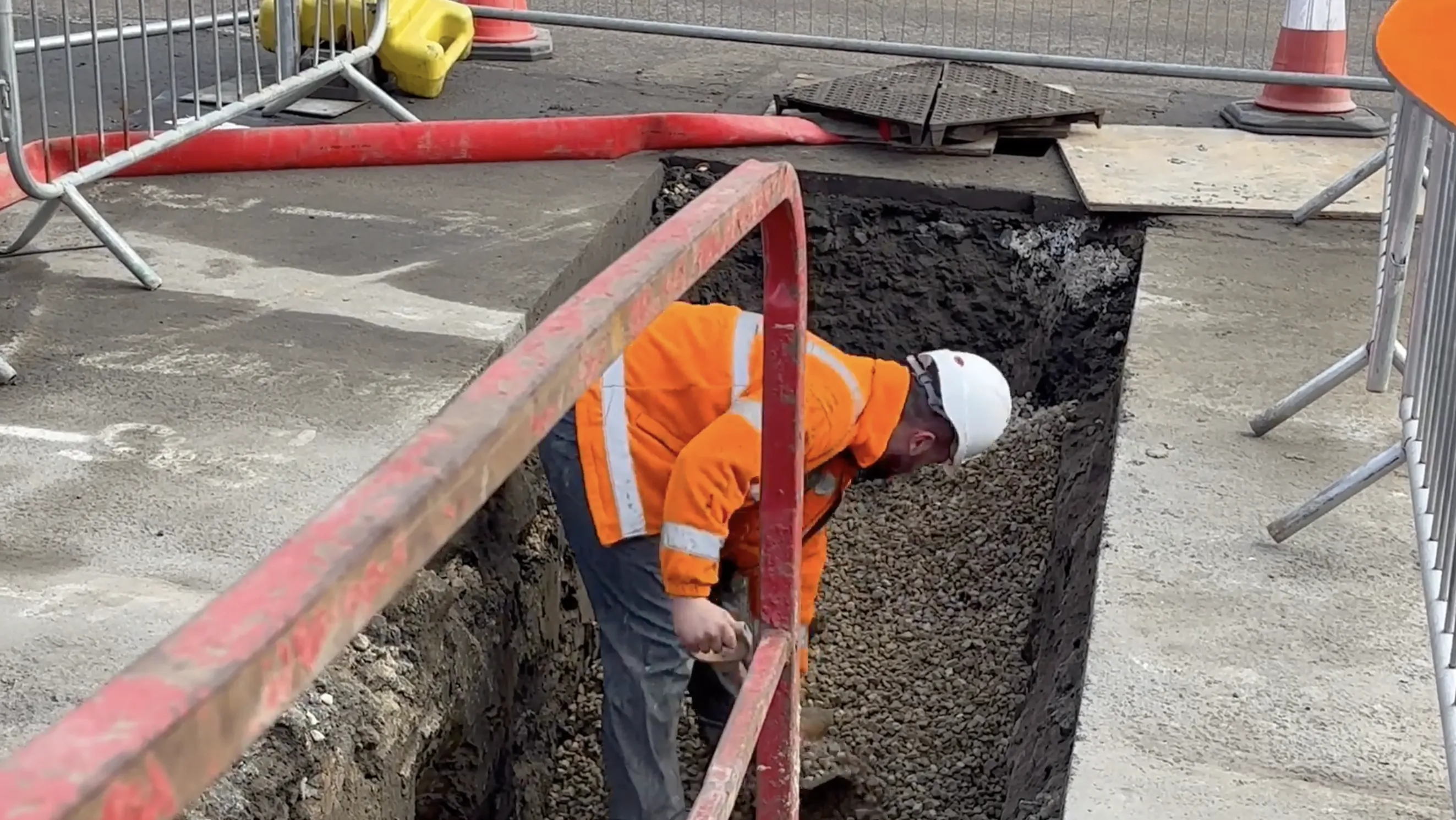
"It's great to see NUAR delivering on the potential identified eight years ago when the idea was first conceived. NUAR is having a significant impact on collaboration across industries that work underground and has demonstrated the power of bringing all this rich data into a service. The growing number of asset owners contributing data and using the platform, alongside supply chain contractors accessing it on their behalf to deliver projects, is a huge step forward. Collaboration is key, and the more users in the underground telecommunications and utilities sectors who engage with the platform, alongside existing safe dig practices, the more it will make life safer for people excavating under the ground."
The long-term ambition for NUAR is to support safer excavation, reduce disruption and unlock economic benefits of at least £400 million a year through improved access to underground asset information.
Benefits for utility sector
NUAR has made day-to-day operations easier for field engineers and planners across energy, water and telecommunications sectors. The platform addresses delays, productivity losses and safety risks caused by fragmented mapping information, which particularly benefit emergency response situations.
Matthew Cox, Lean Central Practice Lead at SGN, said: "NUAR has significantly strengthened our safe digging practices and our commitment to Zero Harm by giving teams in the field instant access to utility mapping. Its simplicity and the support from OS have allowed us to scale adoption quickly across SGN. Our engineers have spoken highly of the system, with feedback such as, ‘Having utilities in one place. It’s like the future.’"
Scott Thornberry, Functional Consultant for Northumbrian Water Group (NWG), said: "A key challenge we face is that not all contract partners use NWG’s internal corporate systems directly. As a result, we often lack up-to-date visibility of the resources they deploy on our behalf, and historically these partners did not receive utility drawings through our internal systems. Instead, they were required to source essential information independently, introducing the possibility of inconsistency in the safety and efficiency of work undertaken for NWG.
“The introduction of NUAR has significantly improved this landscape. NUAR enables NWG to grant administrative access to contract partners, who can then manage their own user base. This ensures that every individual working on NWG assets, whether directly employed or contracted, has access to the same accurate and current asset information.
“By equipping our partners with NUAR, we ensure they can carry out their work with the highest level of safety, awareness and operational consistency.”
Esh Construction is one of the largest privately owned construction businesses in the North of England and contracted by NWG.

"NUAR is a great tool. We use it every day as part of our safe excavation process. NUAR is used to identify hazards ahead of works, helping to minimise dangers for our site teams and providing access to a 24/7 live system of underground cables. I find looking at multiple paper maps at different scales and formats very tricky. With NUAR it’s a much better way to identify buried assets. I can see everything in one place on a common platform. I can switch layers on and off and receive the attribute data that I require to enable me to understand what buried assets are in the ground."
Find out more by visiting nuar.uk.
Sharing the latest news about OS. We can license you to use OS maps in print, online and film format. For more information and resources for journalists, bloggers and media professionals, email pressoffice@os.uk or call 023 8005 5565.
Find out more about NUAR
Including what NUAR is, who it's for, the benefits, product roadmap, and more.
Find more news
- National Underground Asset Register
- Businesses
- Utilities
- Great Britain
- United Kingdom