Ordnance Survey recognised for leadership within the global geospatial sector
Press Office
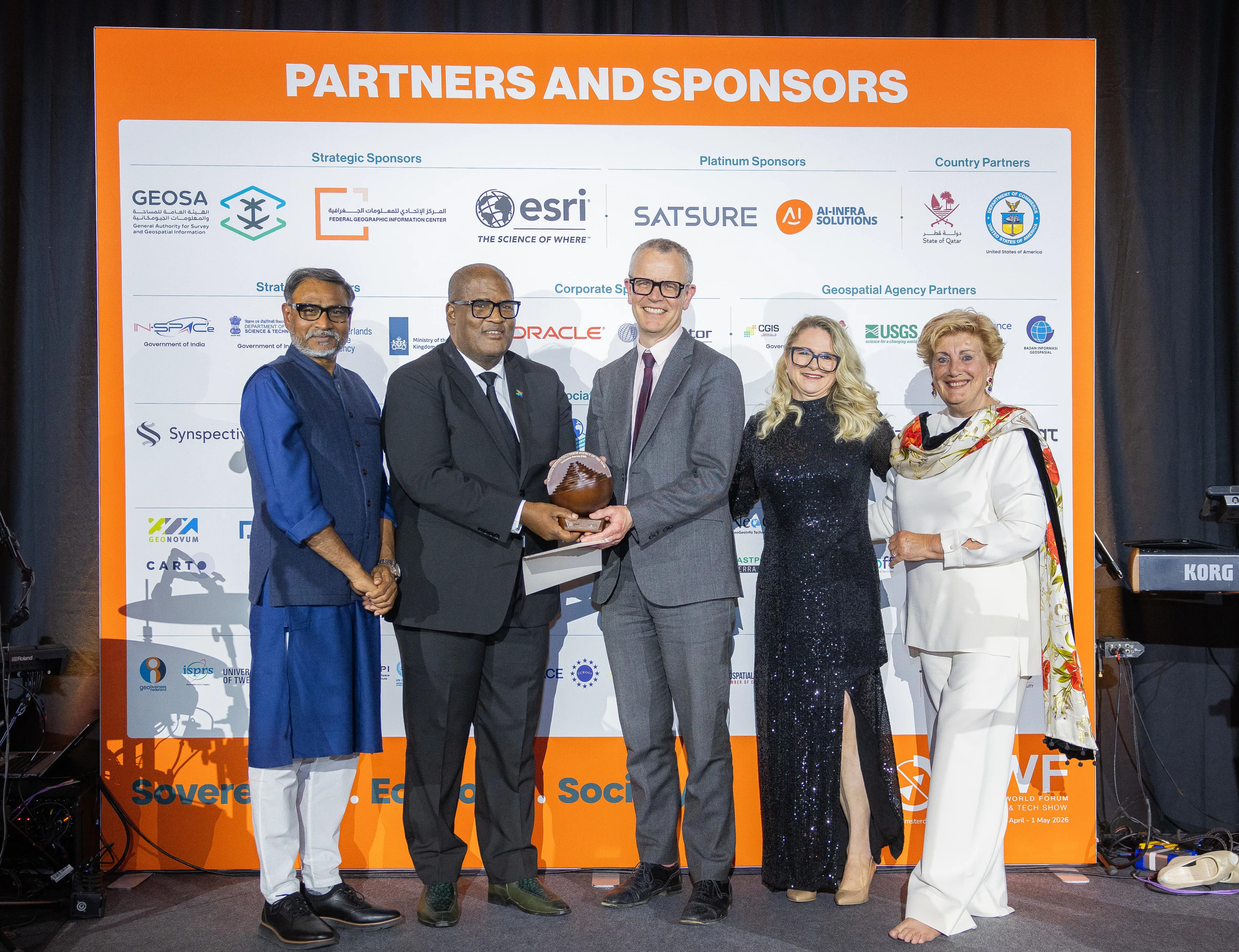
The Geospatial World Leadership Awards 2026 took place in Amsterdam on 29 April, as part of the annual Geospatial World Forum (GWF). This prestigious event highlighted the immense value of geospatial technology - from driving national development to leveraging cutting-edge innovations.
Founded in 2007, the awards celebrate the visionaries and innovators shaping the future of geospatial technology and making a difference to the industry. The panel of judges comprised representatives from across the global geospatial sector, including government, industry, and wider organisations. They reviewed a shortlist of nominations through a series of assessments, with awardees selected based on the existing and future impact of leaders, policies, and programmes.
"This year, we fully recognised the operational excellence of Ordnance Survey and its leadership in reimagining the evolution of a national mapping service. They offer the global mapping agency community a credible model for maintaining relevance in a world where the question is no longer who produces the most accurate map, but who makes geospatial intelligence the most valuable and most embedded in decisions that matter. OS has shown it is ahead of the curve and has delivered significant value as it has evolved from authoritative map maker to authoritative data platform."
As a leading provider of authoritative geospatial data and custodians of Britain’s digital map – with more than 600 million location features and around 30,000 updates made each day – OS underpins critical services ranging from housing, planning policy, transport, and utilities to climate resilience and financial risk assessment.
Today, advanced AI techniques, including computer vision and machine learning, are embedded across OS workflows, enabling the quick analysis of vast geospatial datasets. From detecting land‑use change to identifying the presence or potential of solar panels, these innovations are helping government and businesses automate key processes and scale more efficiently.
"It is a real honour for Ordnance Survey to be recognised in this way. It acknowledges both the continued spirit of innovation and collaboration that remain core to our success, as well as the everyday value we deliver as the baseplate of the UK’s geospatial ecosystem. We continue to turn the complexity of the real world into authoritative and trusted data that underpins our national digital infrastructure, climate resilience, and economic growth."
Through initiatives such as the Geovation programme, delivered in partnership with HM Land Registry, OS demonstrates its commitment to nurturing the wider geospatial ecosystem. The programme supports the next generation of PropTech and GeoTech start-ups by connecting real-world challenges with innovative, data-driven solutions. By enabling start-ups to use authoritative geospatial data to tackle national and global challenges, OS acts as a catalyst for innovation and meaningful impact.
Sharing the latest news about OS. We can license you to use OS maps in print, online and film format. For more information and resources for journalists, bloggers and media professionals, email pressoffice@os.uk or call 023 8005 5565.
Find more news
- Announcements
- OS