OS 3D Mesh (Beta)
Try out our sample data
If you want to test the data in your own environment, please click below to access a subset of the sample data.
What OS 3D Mesh (Beta) provides you with
Enhanced visualisation
Combines high-resolution 3D surface data with integrated imagery for realistic visualisation.
3D analysis
Undertake tasks such as viewshed and line-of-sight analysis for the telecommunications and security sectors.
Improved communication
The ability to fully appreciate the local built and natural environment supports urban planning and citizen engagement.
Use cases
- Urban planners can visualise developments and assess their impact on views and greenspaces.
- Infrastructure teams use to plan wind farms and electricity pylons, assessing risks from underground assets.
- Emergency services apply it to flood modelling and disaster response planning.
Related products
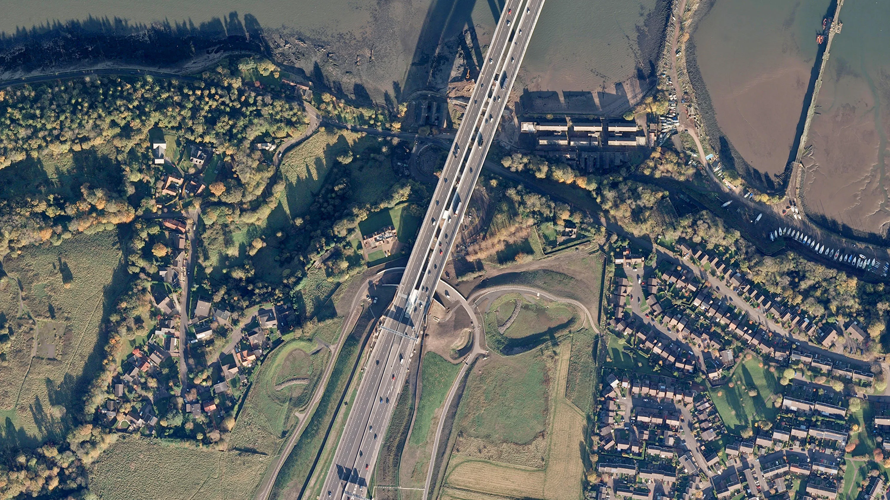
OS MasterMap Imagery Layer
Digital colour-balanced and corrected for geometric distortions (orthorectified) aerial photography for Great Britain.
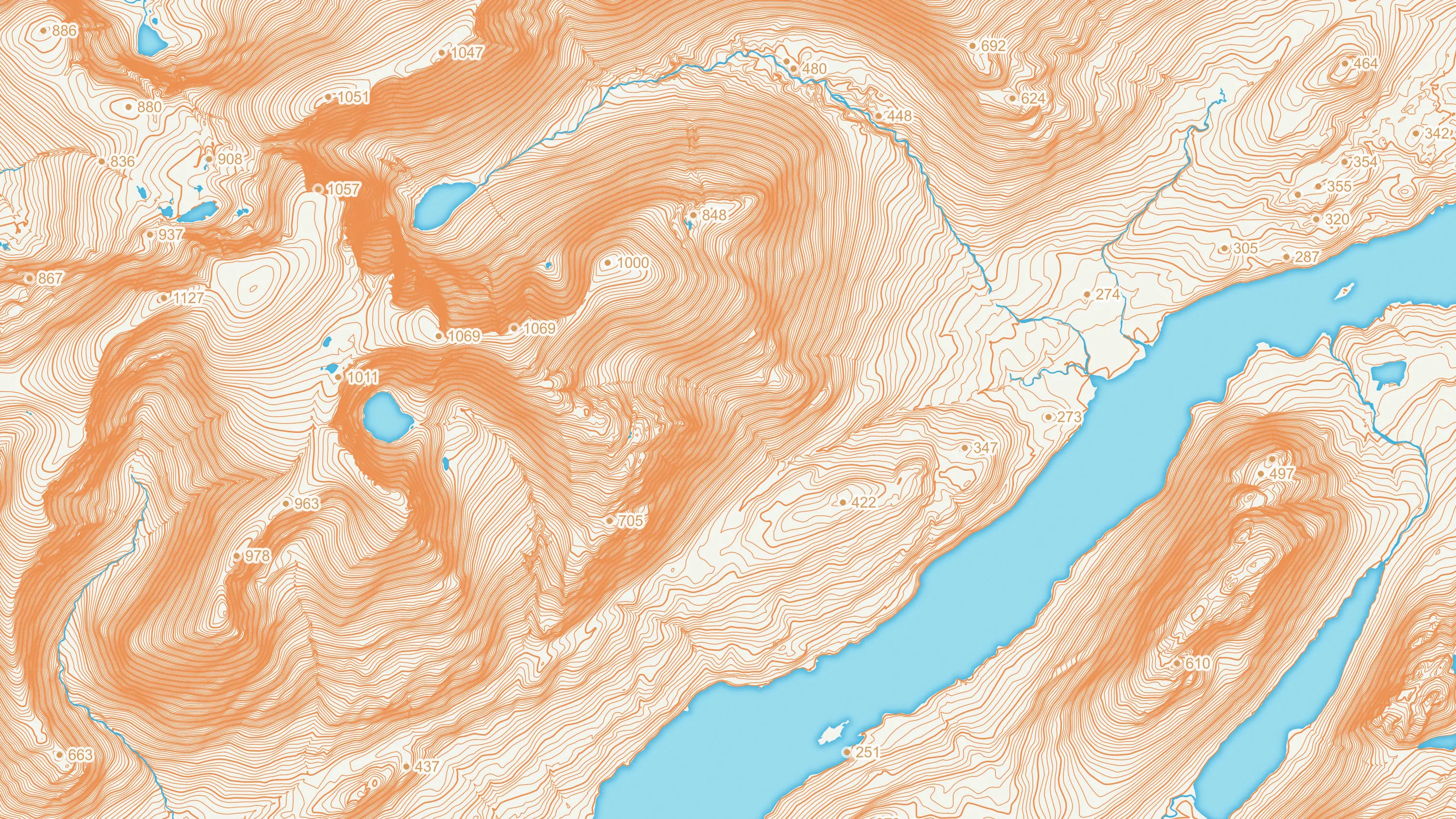
OS Terrain 5
OS Terrain 5 is a detailed digital terrain model (DTM) of Great Britain.
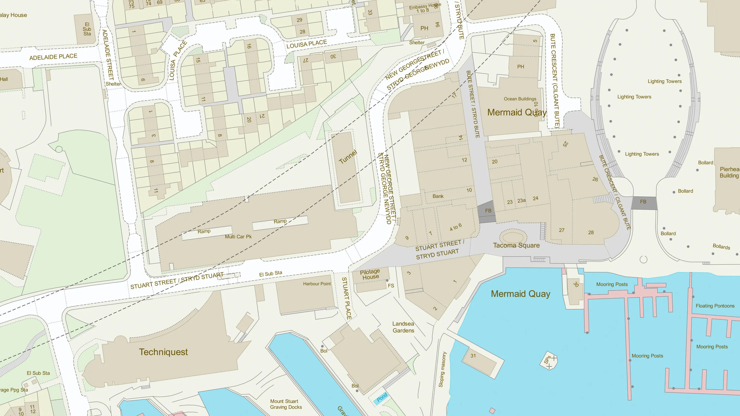
OS MasterMap Topography Layer
OS MasterMap Topography layer provides a map dataset of Great Britain's landscape – from roads to fields, to buildings and trees, fences, paths and more.