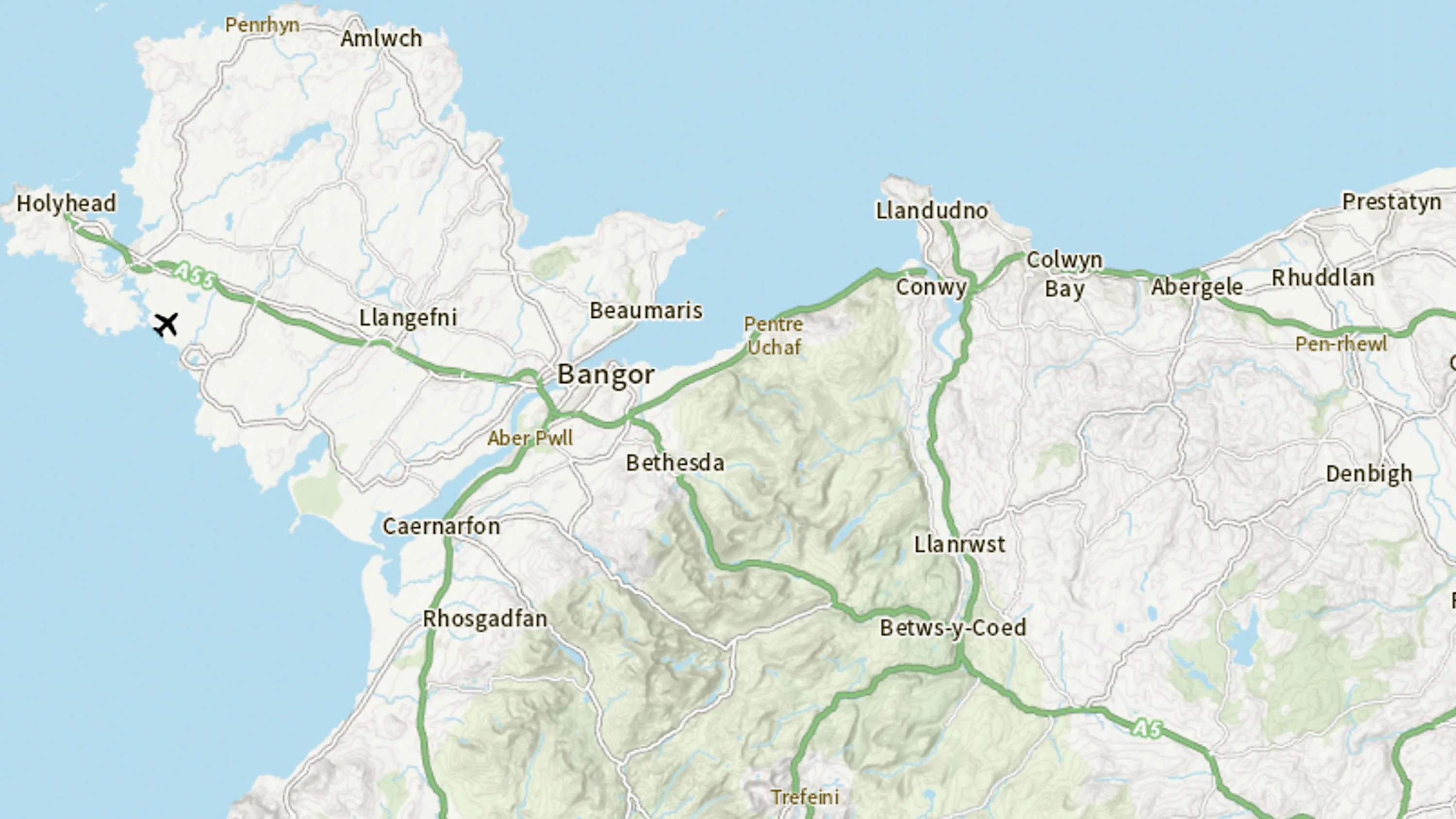
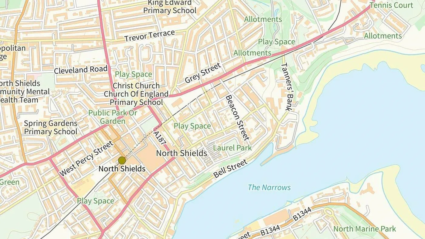
A range of raster and vector mapping products designed to provide visual context and simple analytical insight. From high-resolution aerial imagery to scalable cartographic views, these products support a wide range of applications from outdoor navigation and urban planning to digital visualisation and geospatial analysis.

Maps and imagery data
Mapping data designed to provide visual context and simple analysis

What is maps and imagery data?
Features of maps and imagery data
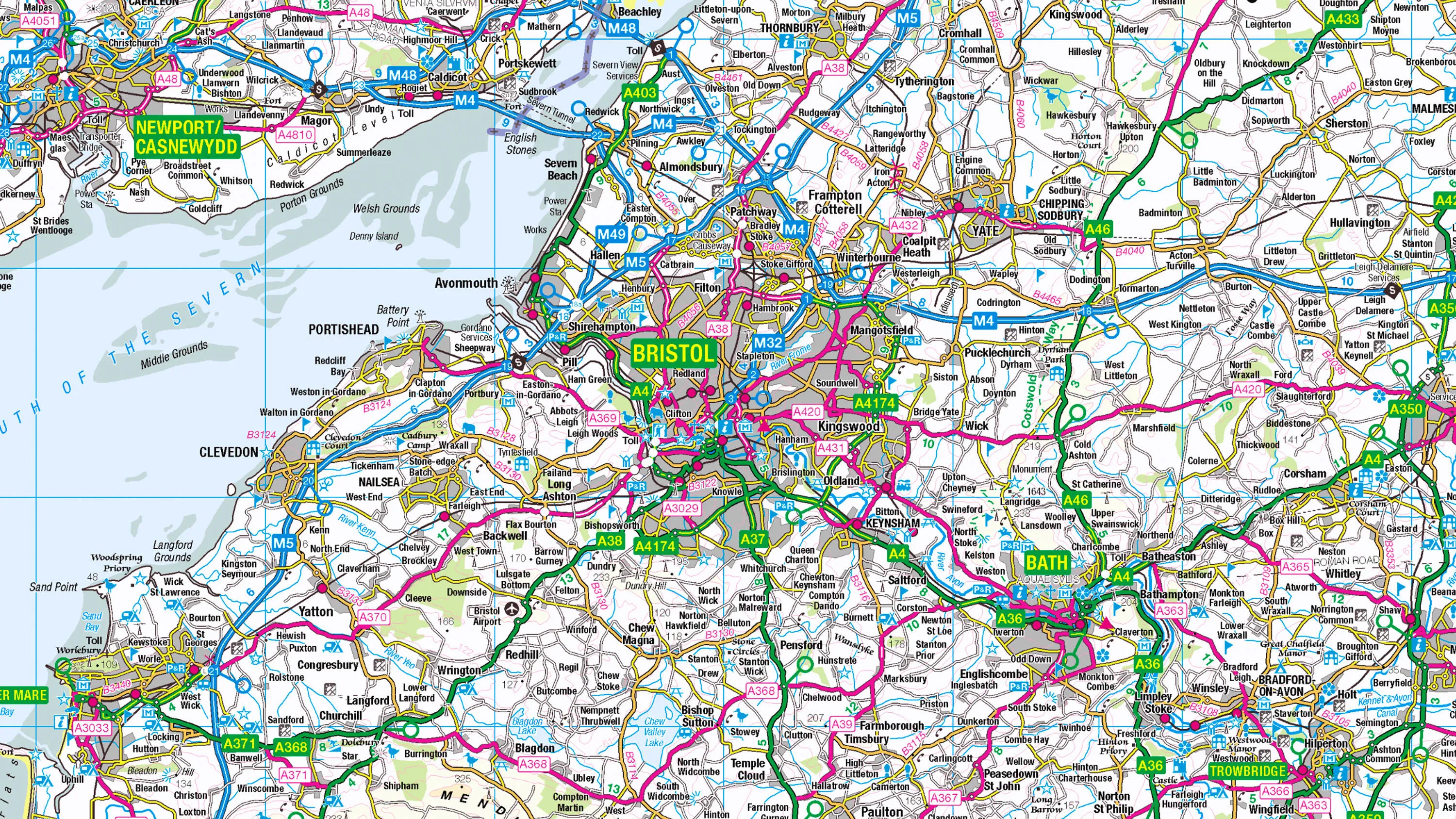
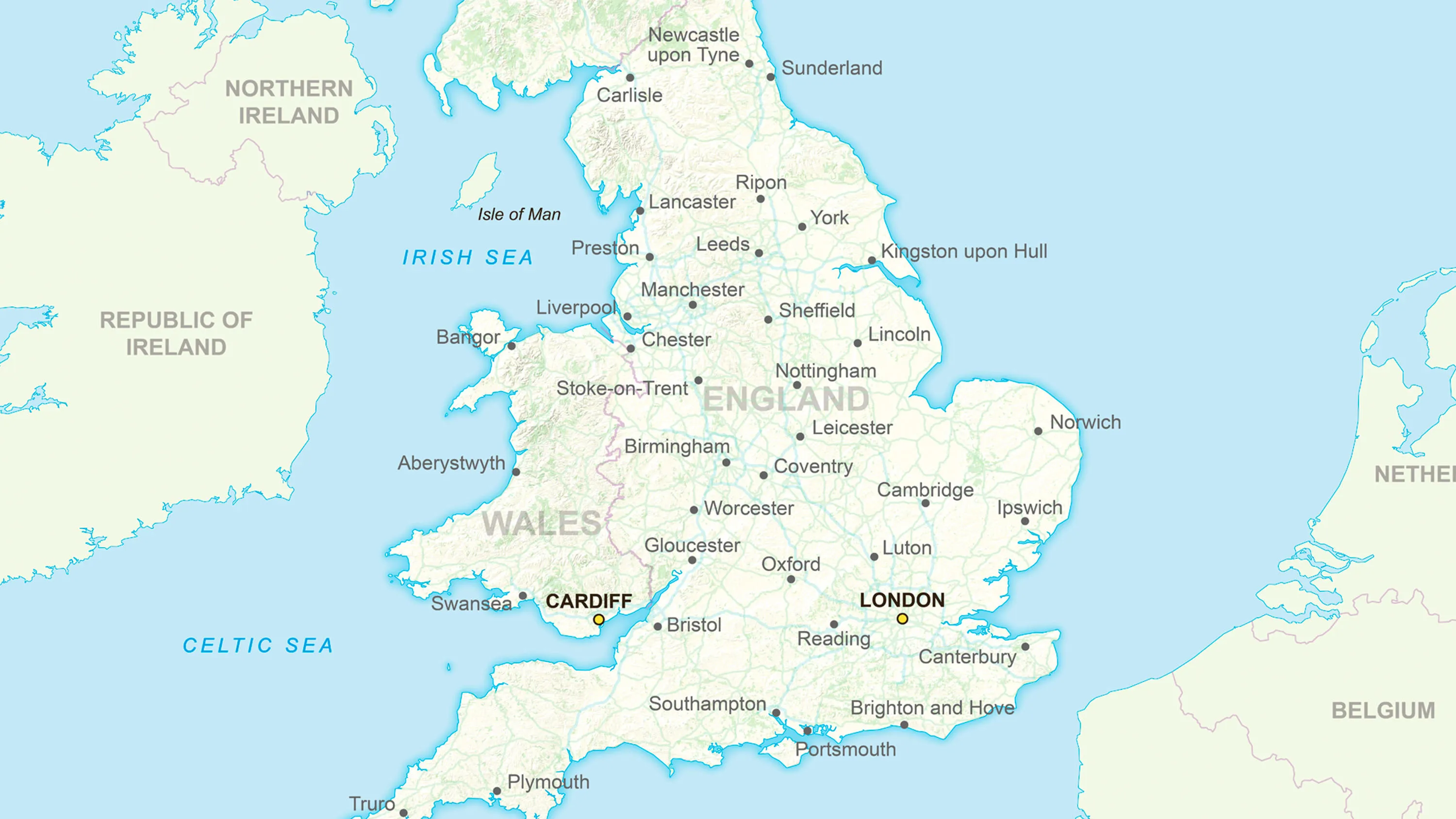
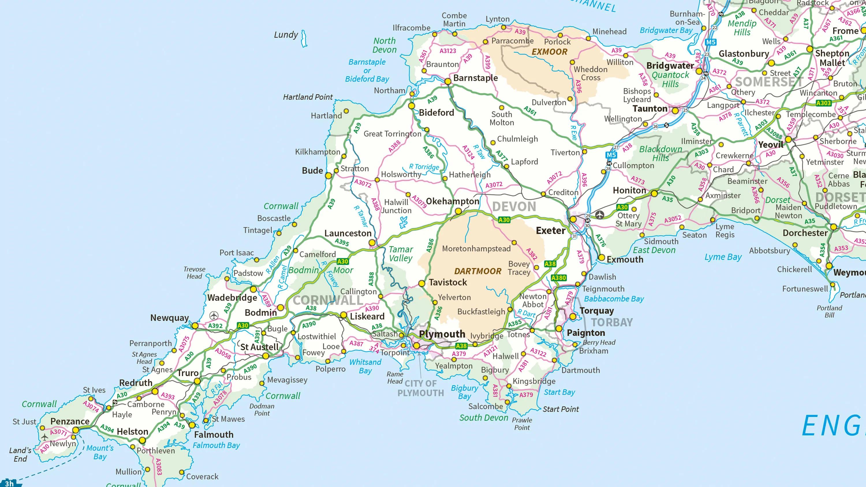
Multi-scale mapping
Access mapping for use at national, regional, and local scales, supporting everything from strategic planning to field navigation.
Customisable and pre-styled
Choose between pre-styled raster maps or fully customisable vector formats. Tailor your basemaps to match brand palettes, highlight key features or optimise for different viewing platforms.
Real-world perspective
High-quality aerial imagery enables precise visual analysis for infrastructure, land use and environmental monitoring.
Digital mapping
Access the digital alternative to our popular OS Explorer and OS Landranger paper map series.
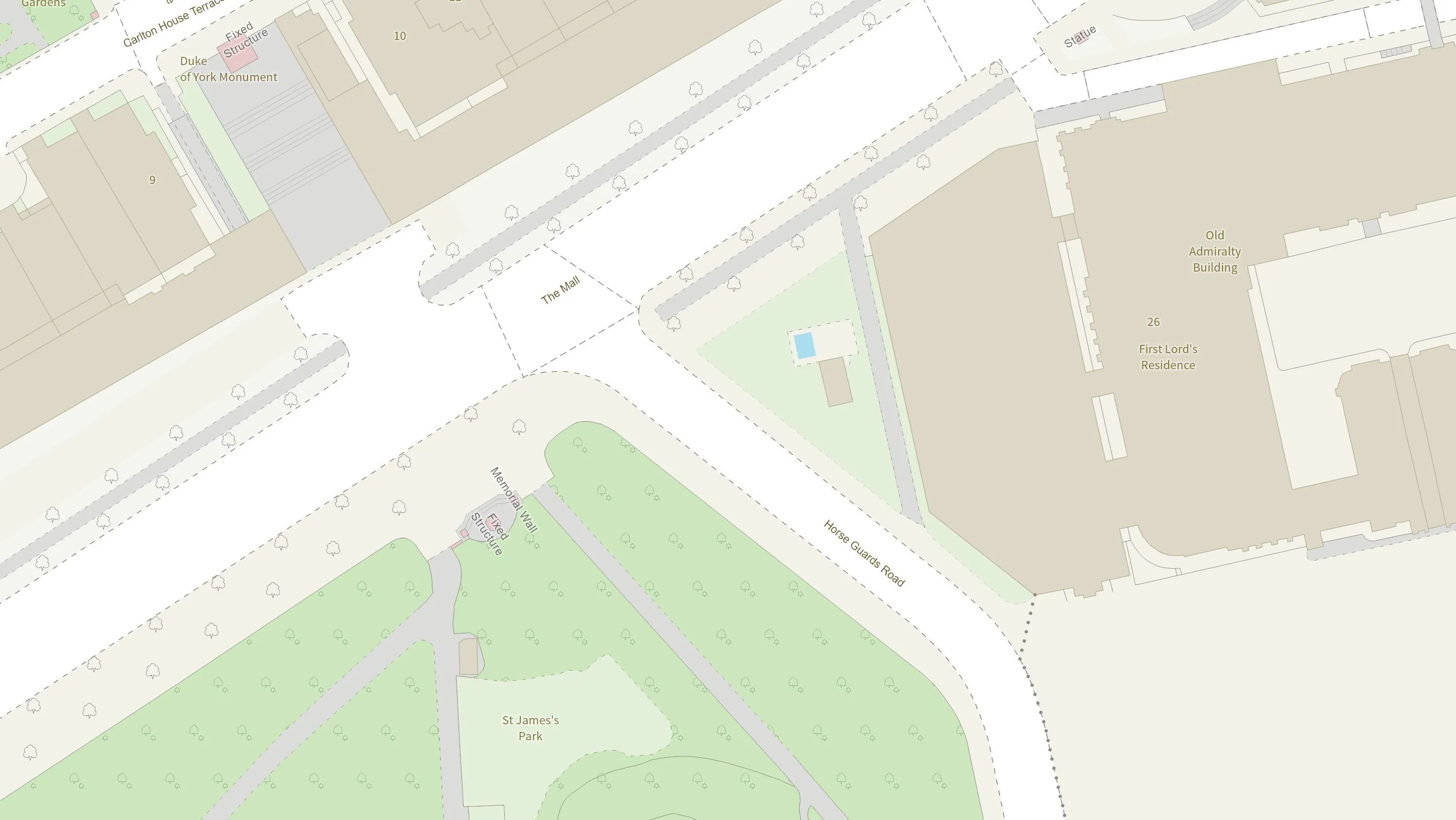
Cartographic clarity and context
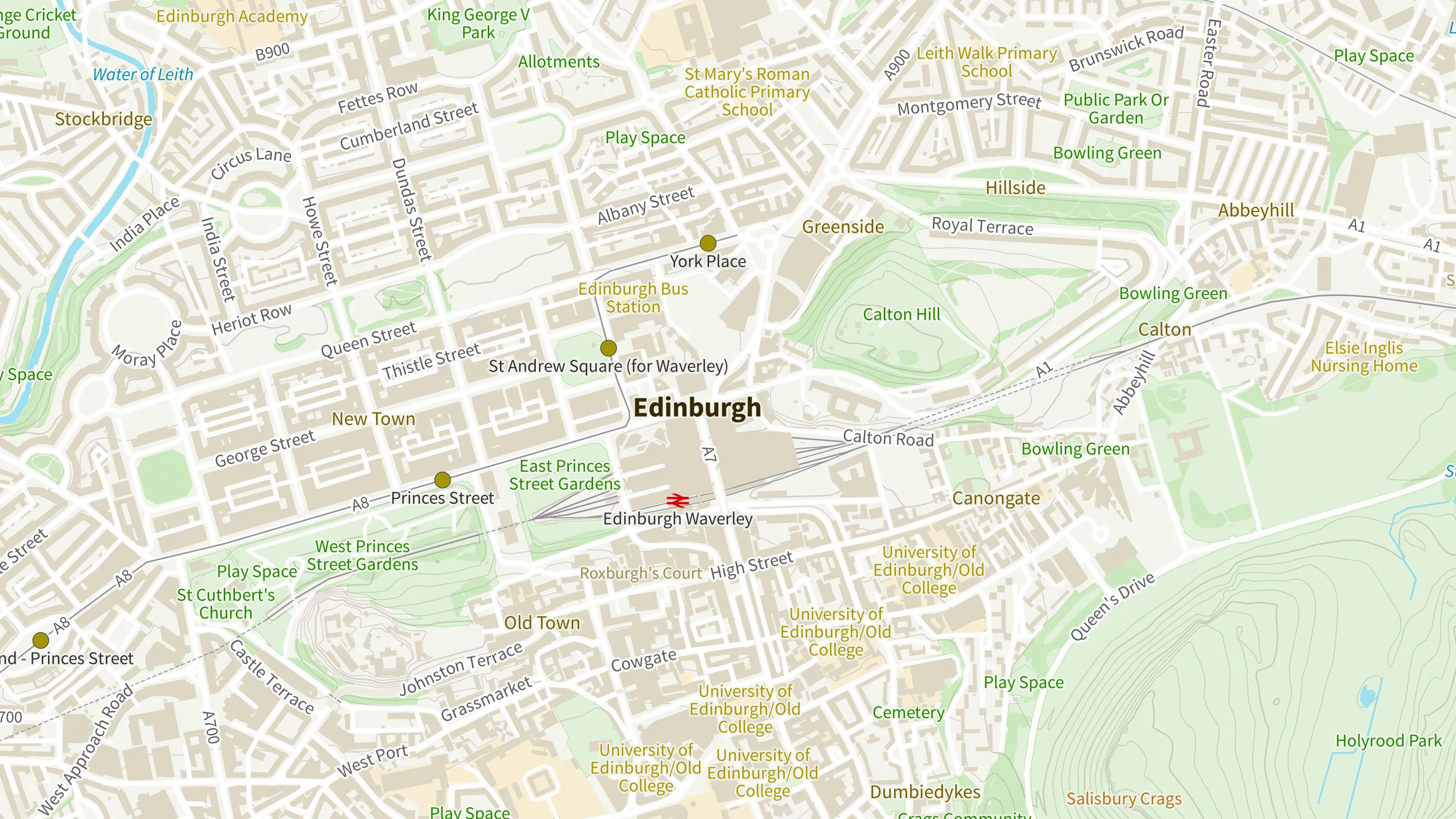
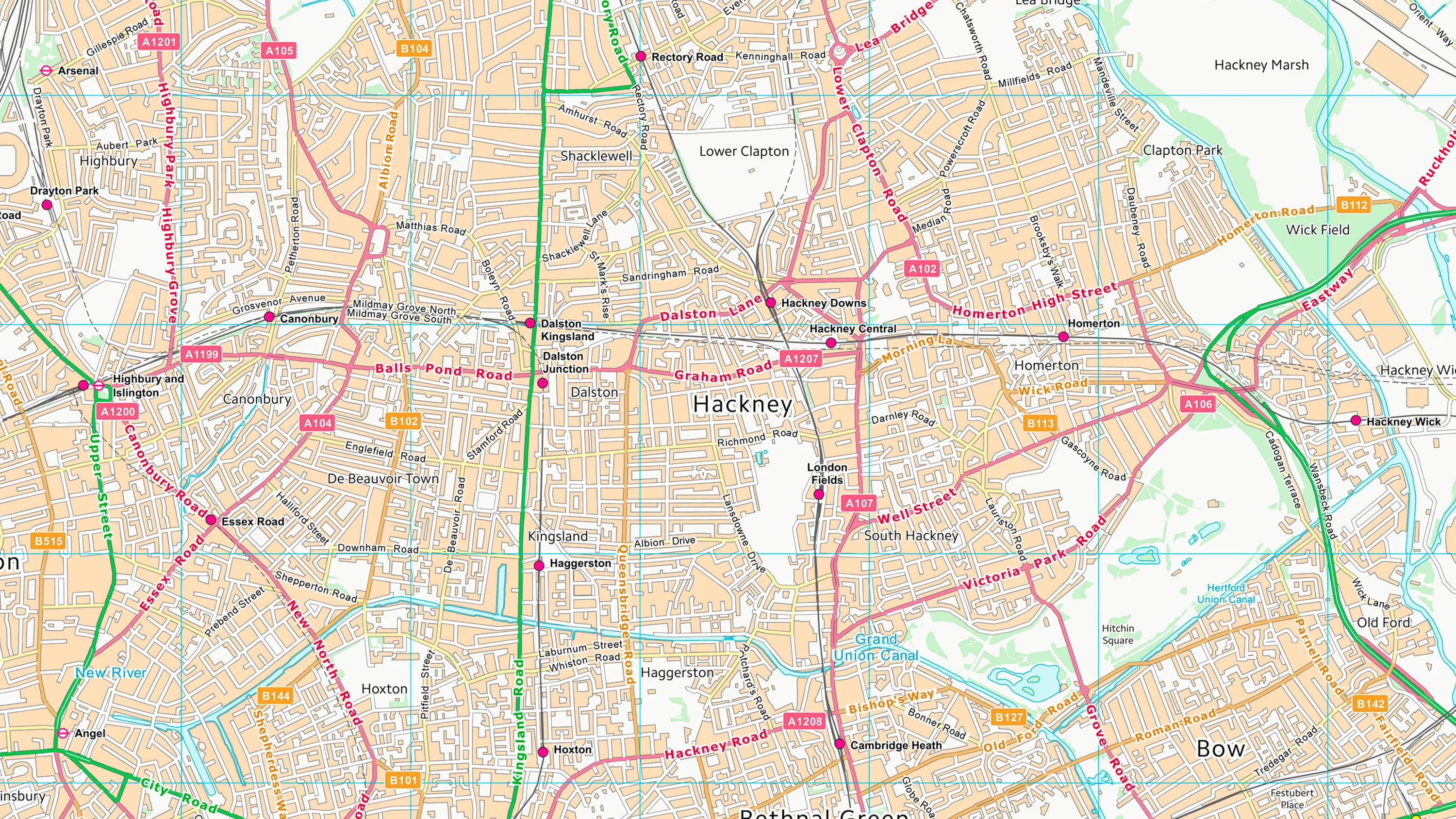
Access mapping with clear symbology, clutter-free layouts, and regional-scale maps, for geographic context, route planning, and enhancing digital or printed materials with beautifully styled maps.
Sector-ready visualisation
Leisure and tourism, education, urban development and emergency services - our collections of maps and imagery support a wide range of sectors with accessible mapping data.
Products offering these key features
This features table highlights which features are available in mapping and imagery products.
| Feature | Products |
| Detailed data | OS MasterMap Topography Layer |
|
Large-scale: approx. 1:10 000 | OS OpenMap – Local, OS VectorMap Local |
|
Mid-scale: 1:15 000 to 1:100 000 | OS Open Zoomstack, OS VectorMap District, 1:25 000 Scale Colour Raster, 1:50 000 Scale Colour Raster |
| Small-scale: 1:250 000 and below | 1:250 000 Scale Colour Raster, GB Overview Maps, MiniScale, OS Open Zoomstack |
| Image-based data | OS MasterMap Imagery Layer, OS 3D Mesh (Beta) |
| Leisure mapping | 1:25 000 Scale Colour Raster, 1:50 000 Scale Colour Raster |
Maps and imagery products
OS MasterMap Topography Layer
A detailed representation of the physical landscape of Great Britain. It includes information about buildings, roads, rivers, and land use as well as natural features.
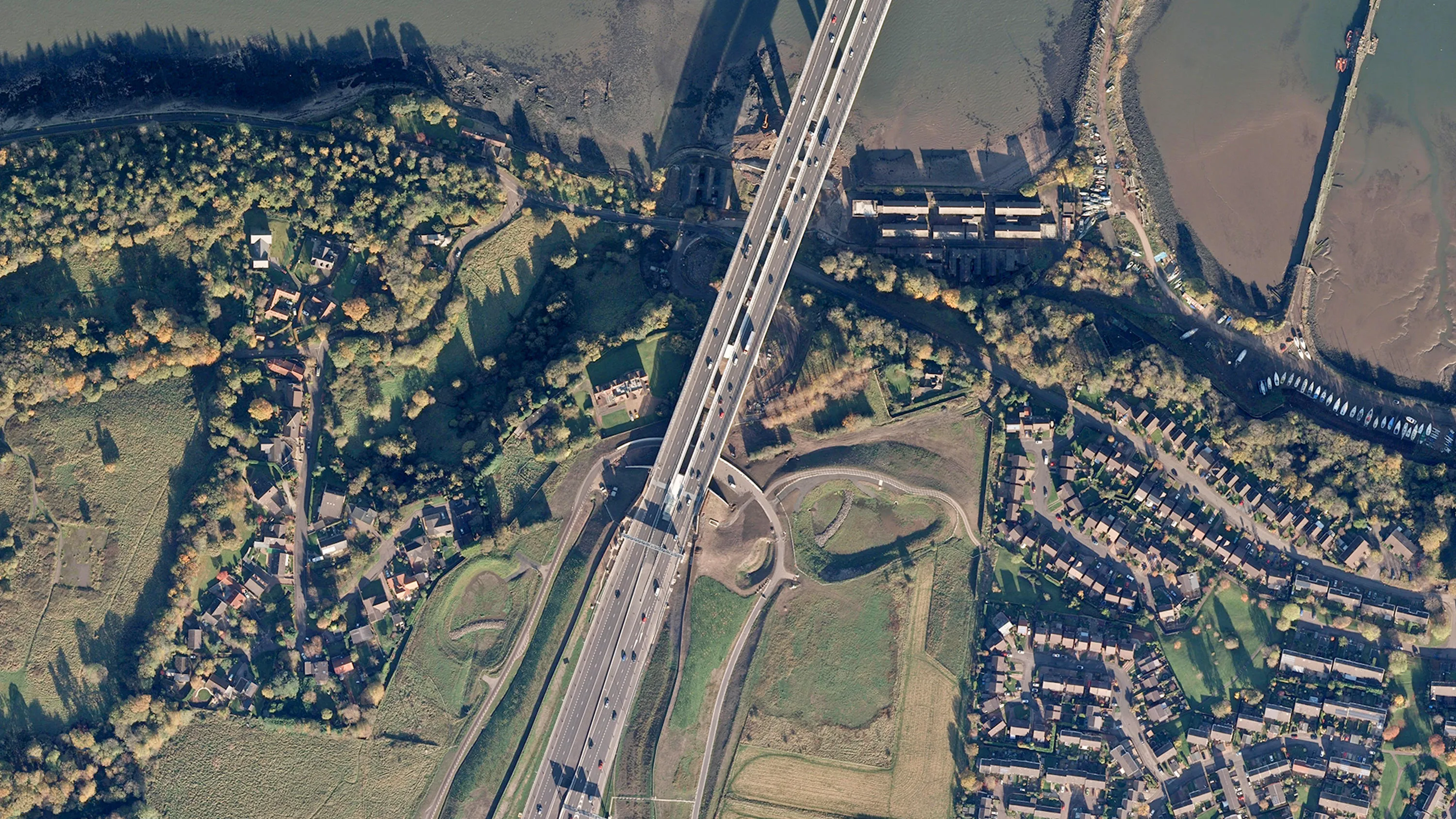
OS MasterMap Imagery Layer
High-resolution aerial imagery of Great Britain, offering a real-world view of the landscape. Each pixel represents a 25cm x 25cm area on the ground.
OS 3D Mesh (Beta)
A photorealistic three-dimensional representation of the surface of the landscape.
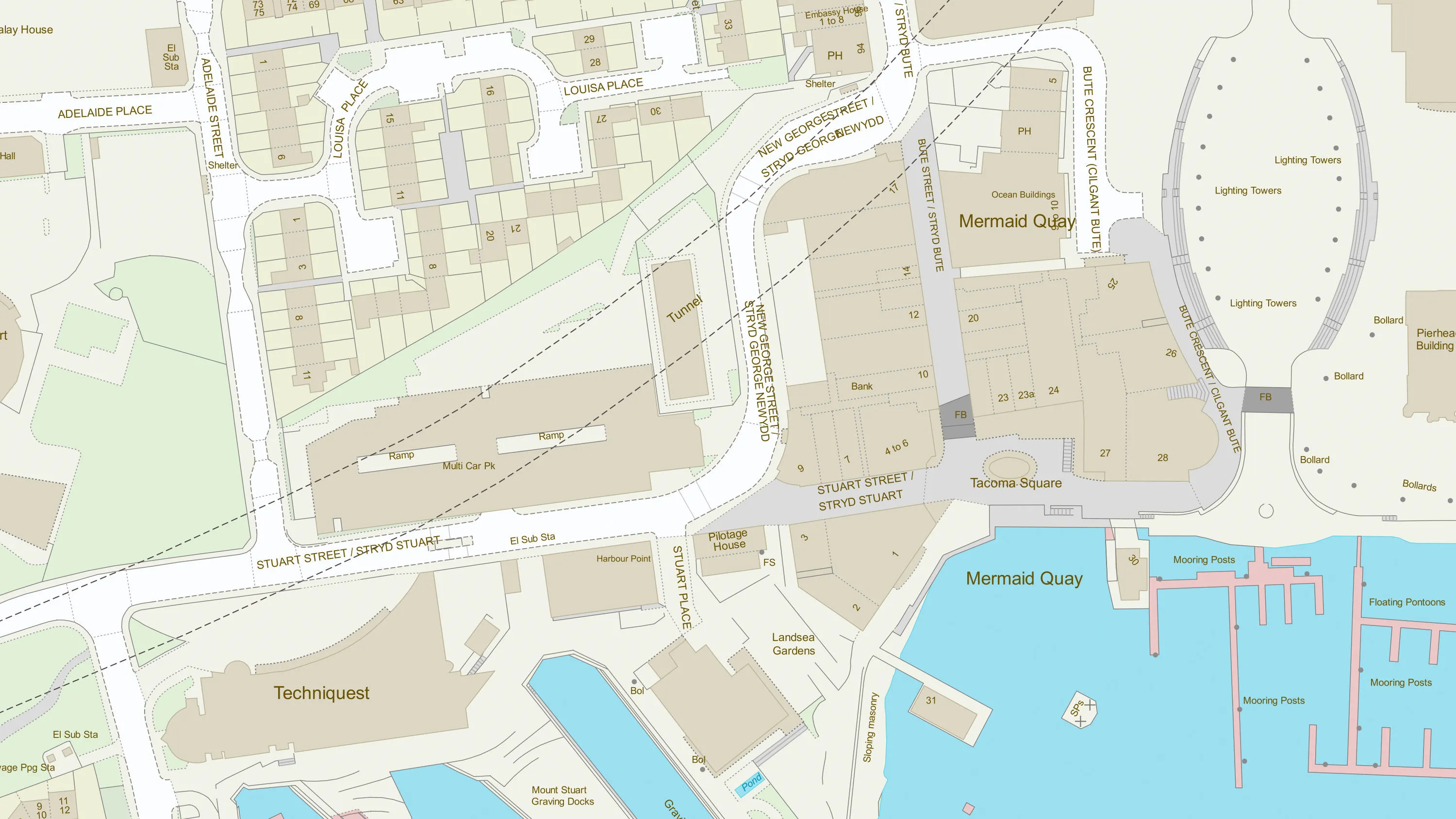
OS VectorMap Local
Customisable mapping designed for localised, detailed mapping needs. It provides a clear overview of local geographic context.
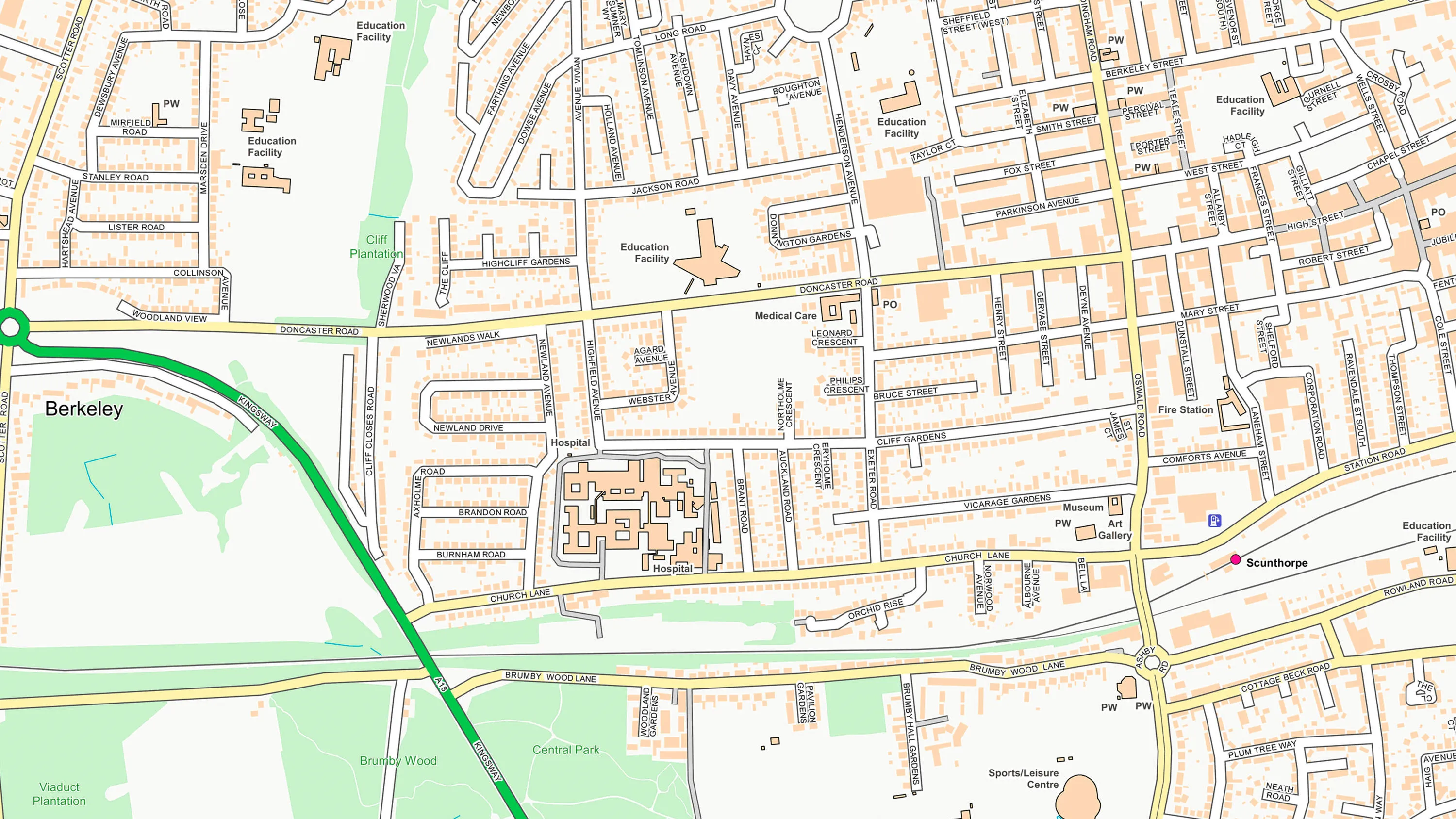
OS OpenMap - Local
An accessible and detailed street-level map of Great Britain. It is one of the most detailed generalised open mapping products available and provides detailed coverage and contextual mapping of urban and rural areas.
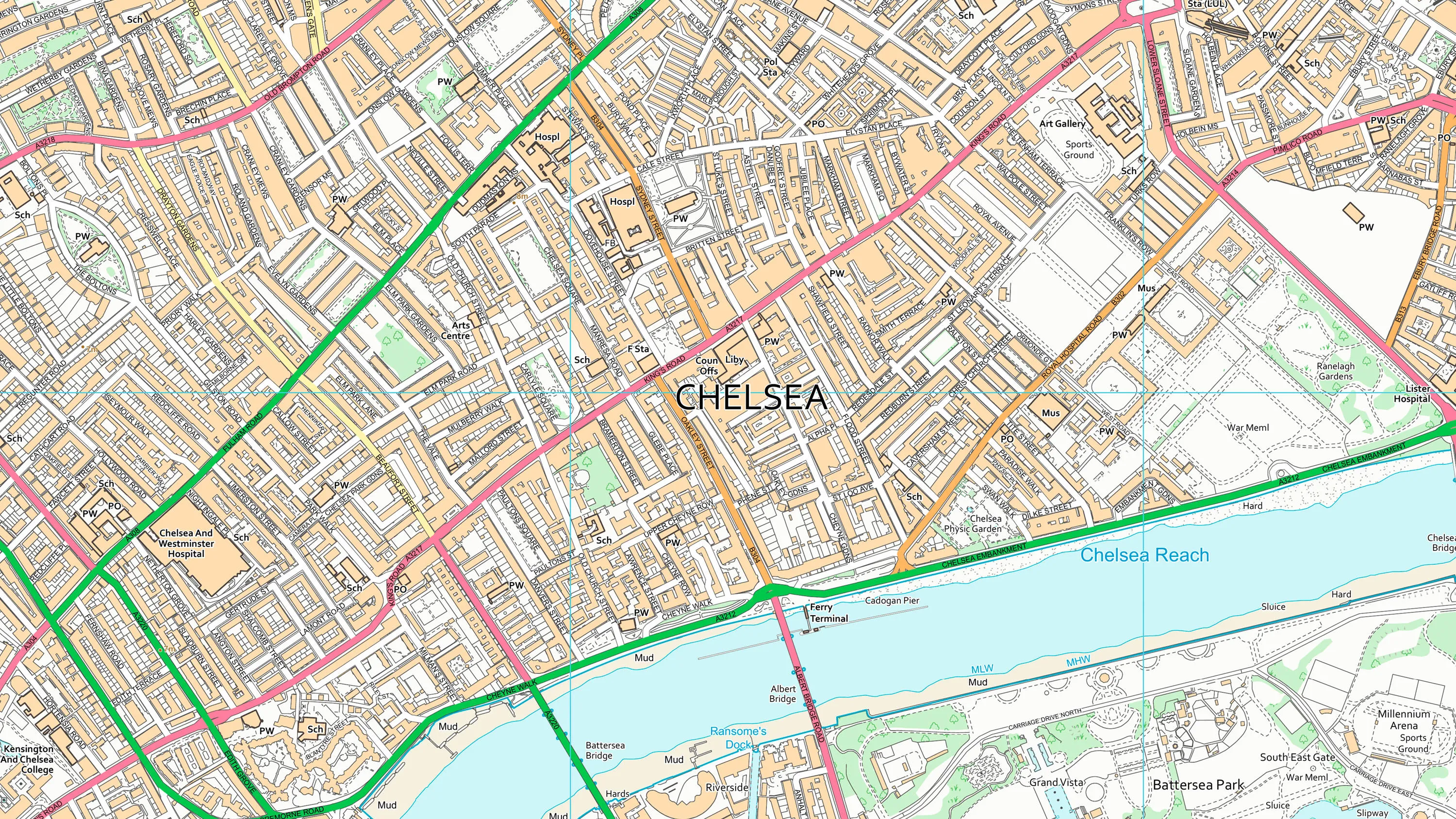
OS Open Zoomstack
An open vector basemap at multiple levels of resolution, showing coverage of Great Britain from a national level, right down to street detail.
OS VectorMap District
Customisable mapping designed for regional planning and navigation.
1:25 000 Scale Colour Raster
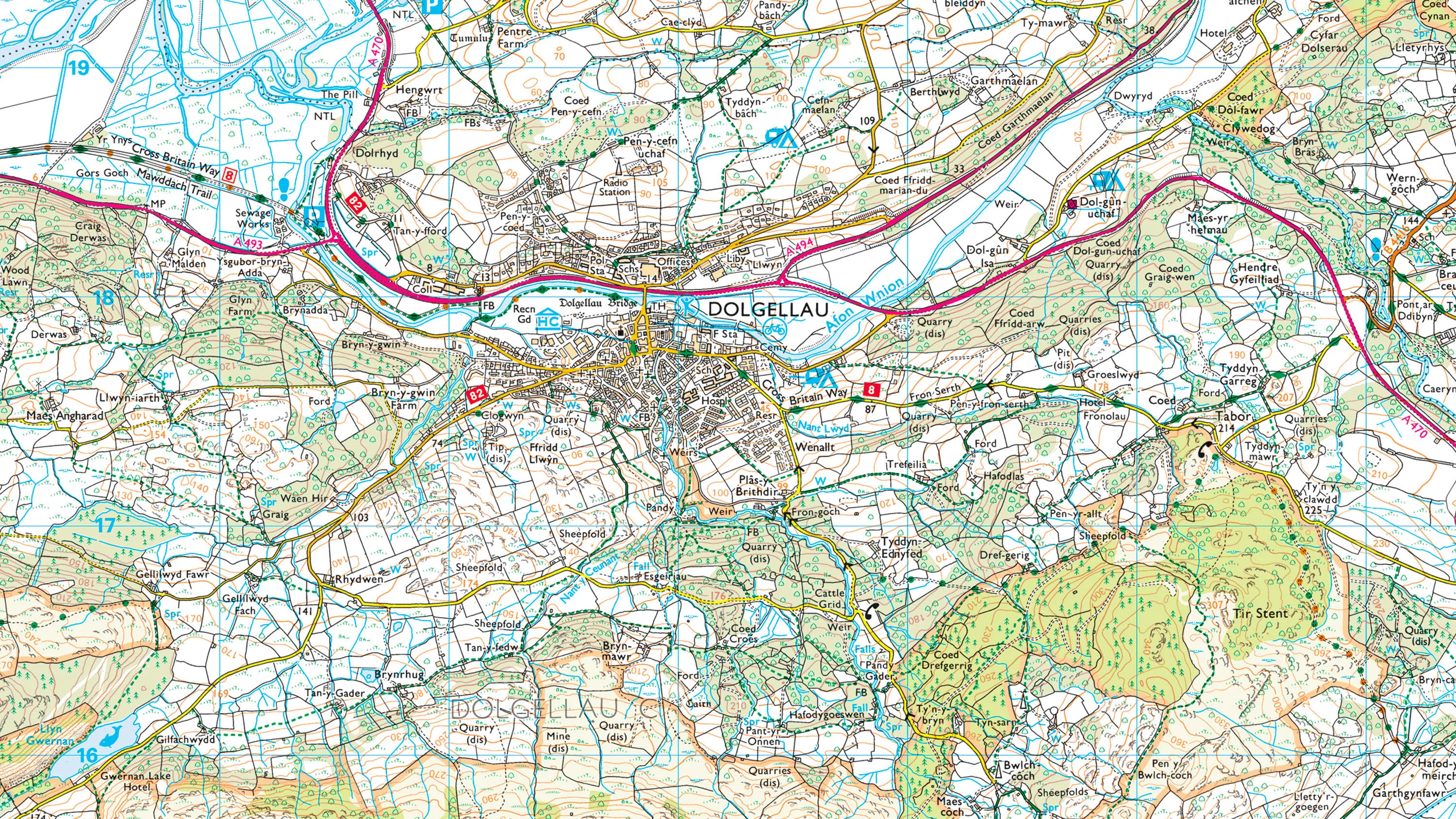
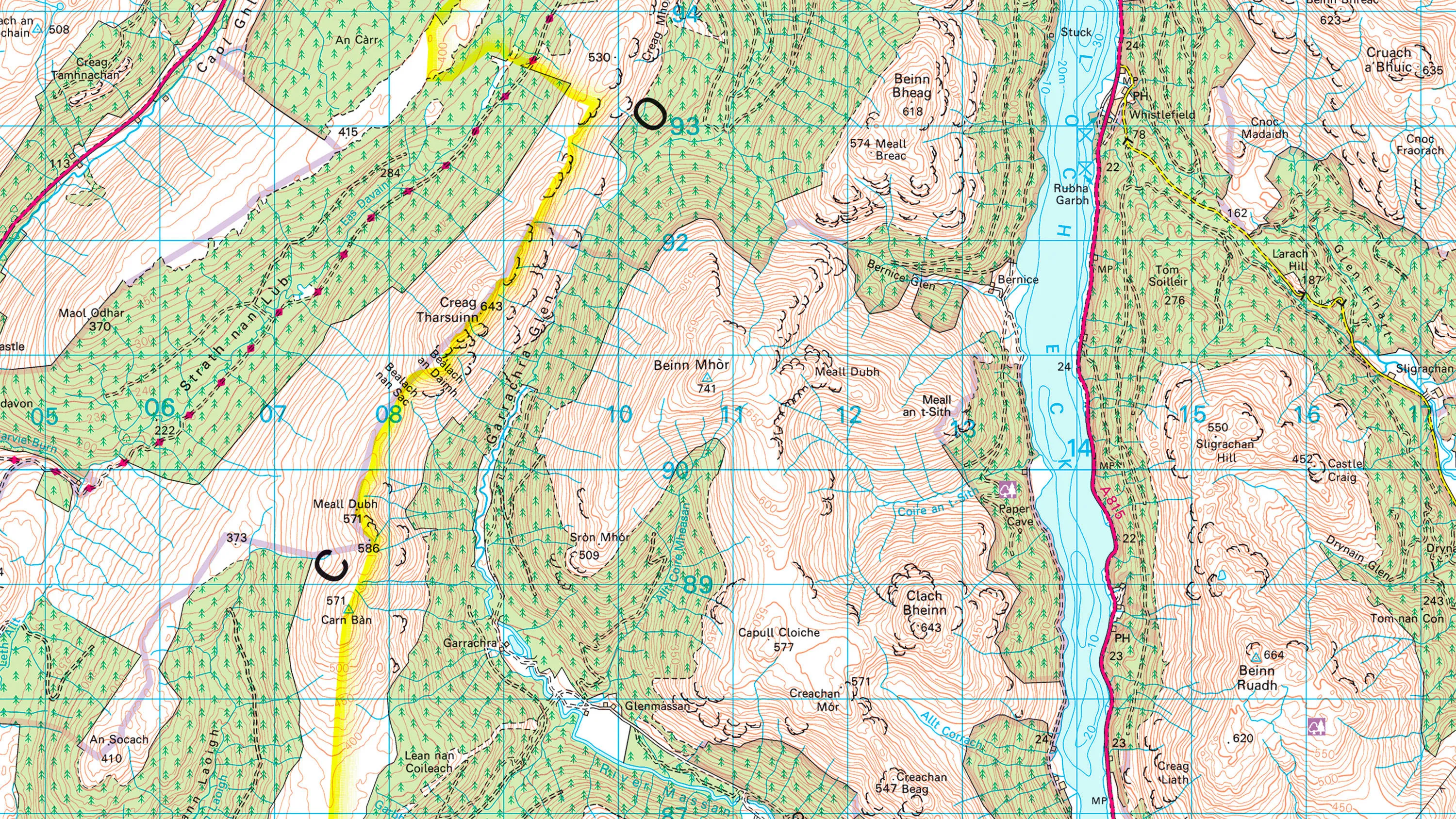
The digital alternative to our popular OS Explorer paper map series, this is a high-quality map of Great Britain, available in 10km square tiles.
1:50 000 Scale Colour Raster
The digital alternative to our popular OS Landranger paper map series, this is a high-quality map of Great Britain, available in 20km square tiles.
1:250 000 Scale Colour Raster
A small-scale, digital raster mapping product giving a regional view, similar in content and appearance to a typical road atlas.
GB Overview Maps
Free basemaps of Great Britain’s landscape, one showing country boundaries, major cities and national parks, the other including cities, towns and major road networks.
MiniScale
A free small-scale digital map of Great Britain in a single data file that clearly shows towns and cities, motorways, major roads, railways and airports.

Data access APIs
OS NGD API – Tiles
A vector tile service powered providing a detailed and customisable basemap that's based on the latest OGC API – Tiles standard to help you create stunning and interactive web maps.
OS Maps API
Accurate, up-to-date maps that offer a convenient way to add detailed OS data to your application. Benefit from unrivalled levels of detail in your GIS, web or mobile app.
OS Vector Tile API
A vector tile service providing detailed Ordnance Survey data as a customisable basemap. It can be used with most web mapping libraries including Mapbox GL JS, Leaflet, OpenLayers and ArcGIS API for JavaScript.
See how others are using maps and imagery products

Using GIS to plan for housing growth
Ordnance Survey (OS) mapping enabled a local council to build an accurate picture of...

Sustainable homes, with Southern Housing
Southern Housing is one of the largest housing associations in the UK, owning and managing...

How mapping supports police work
Discover how Cleveland Police deals with geographic issues and understands its communities...

SSE uses OS MasterMap to maintain 48,500km of powerlines
Scottish and Southern Energy (SSE) maintains 48,500km of high-voltage overhead power lines...