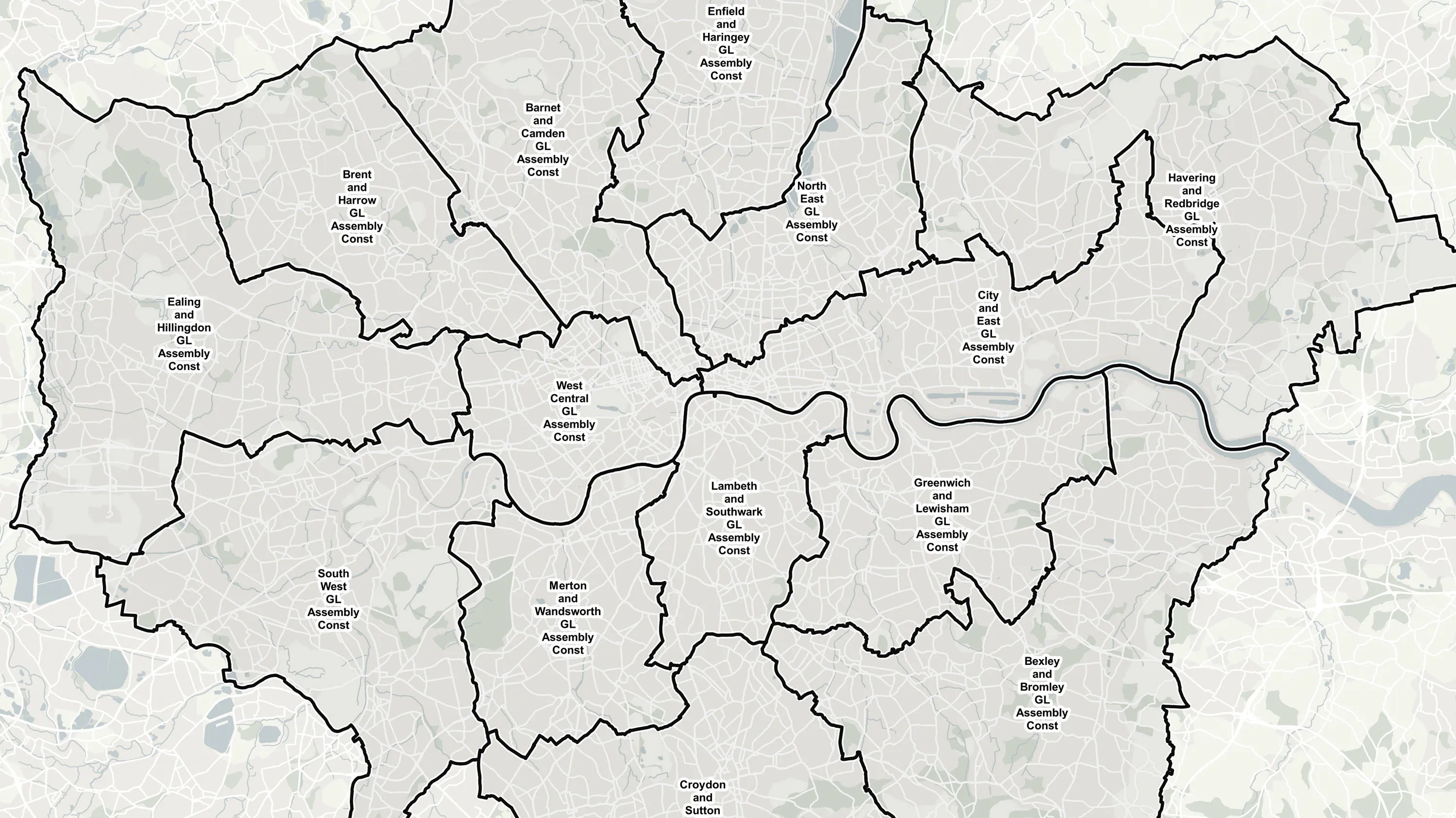
Boundary mapping
Authoritative coverage of the administrative and electoral boundaries across Great Britain, designed for multiple applications including GIS and web mapping applications.
Authoritative coverage of the administrative and electoral boundaries across Great Britain, designed for multiple applications including GIS and web mapping applications.
Gather better insight and understanding of the land areas of a region and view the full range of administrative and electoral regions from parishes to countries.
Attribution includes hierarchical relationships, area values of land and tidal water extents and identification of detached portions of constituencies.
The National Geographic Database (NGD) sets the benchmark in accuracy and completeness for location data. NGD data helps businesses and government make critical decisions, and deliver vital services with the utmost confidence and certainty.
The NGD is the single store of Ordnance Survey’s authoritative data for Great Britain; the repository of millions of records that precisely define the built and natural environment, in unparalleled detail.
Central to the power of NGD data is a single, structured database. Unlike previous generations of OS data, NGD data is built for analytical uses and designed to be the bedrock of more intelligent solutions. It reduces the complexity towards insight and getting the answers you need.
Ordnance Survey's Boundary-Line is an open dataset of every administrative boundary in Great Britain.
The statistical geographies used by Government departments to analyse census data, deliver on policy and improve services.