Land use mapping
Quantify and visualise the distribution of human activity across Great Britain.
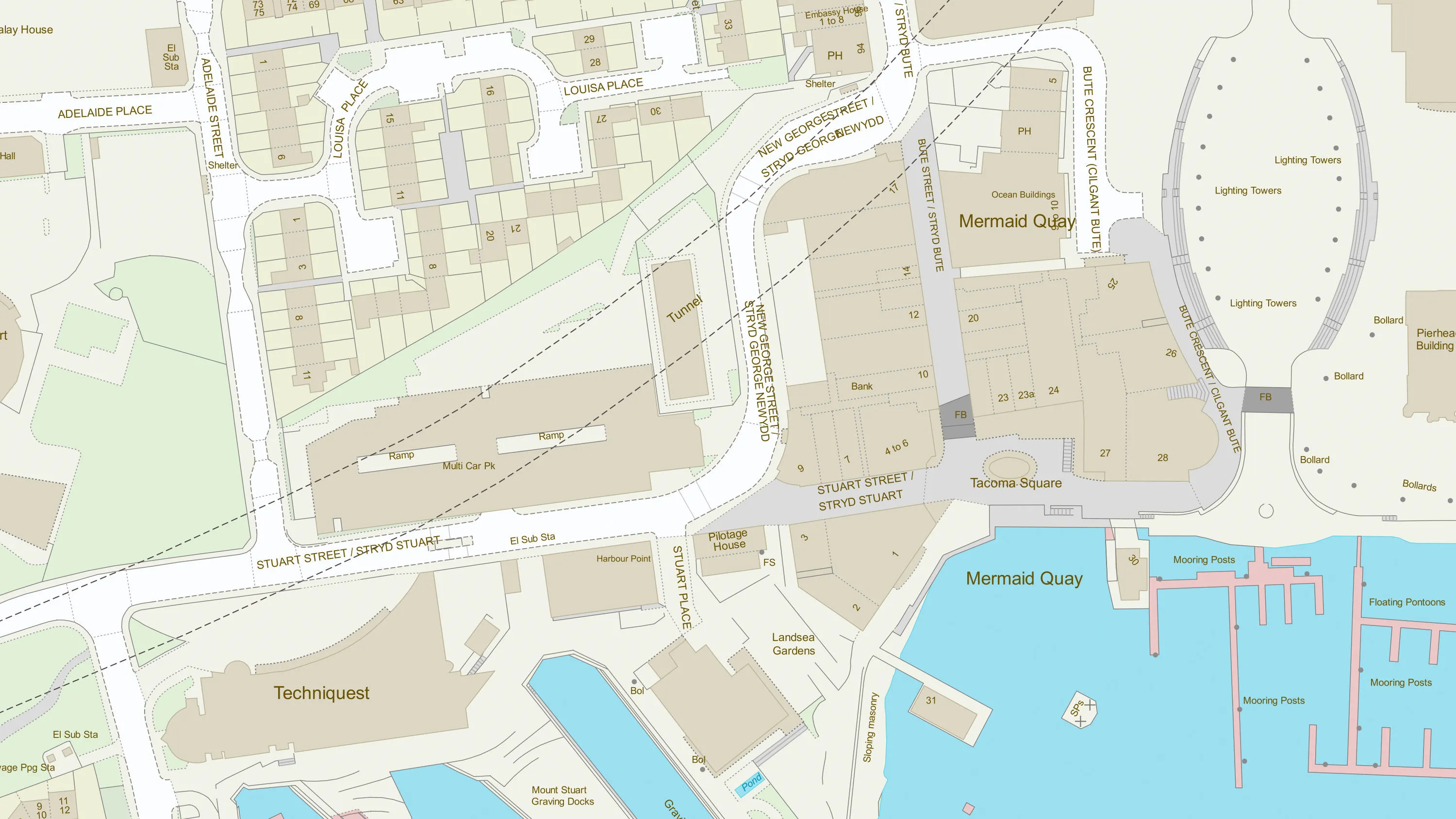
Download a small area of OS Land Use Features. Or try out the real thing by applying for a Data Exploration Licence.
Quantify and visualise the distribution of human activity across Great Britain.
Utilise a multitude of different land use values to better understand human activity in an area of interest (OS Land Use, OS Address Classification, and NLUD).
Identify access points to major public sites (i.e., train stations, schools, public parks) and pinpoint where these sites are accessed from the road network. Access mode (Pedestrian, Vehicular, Pedestrian and Vehicular) and access purpose (Emergency, Primary Public, Private, Public) are also provided.
Understand the physical condition of a site (Active, Inactive, Derelict, or Unknown).
The National Geographic Database (NGD) sets the benchmark in accuracy and completeness for location data. NGD data helps businesses and government make critical decisions, and deliver vital services with the utmost confidence and certainty.
The NGD is the single store of Ordnance Survey’s authoritative data for Great Britain; the repository of millions of records that precisely define the built and natural environment, in unparalleled detail.
Central to the power of NGD data is a single, structured database. Unlike previous generations of OS data, NGD data is built for analytical uses and designed to be the bedrock of more intelligent solutions. It reduces the complexity towards insight and getting the answers you need.
Explore detailed land cover data, and visualise the land cover make-up of Great Britain, including both manmade features and natural land features.
Access data on buildings and building features, including building heights, lines, and access points, across Great Britain.
OS MasterMap Topography layer provides a map dataset of Great Britain's landscape – from roads to fields, to buildings and trees, fences, paths and more.