Data that describes the surface of the ground, and how the land is used. Classify surface characteristics, model its elevation and slope, and depict the extent and function of specific human activities and uses.

Land and terrain data
Explore mapping data designed for land cover, land use, and elevation

What is land and terrain data?
Features of land and terrain data
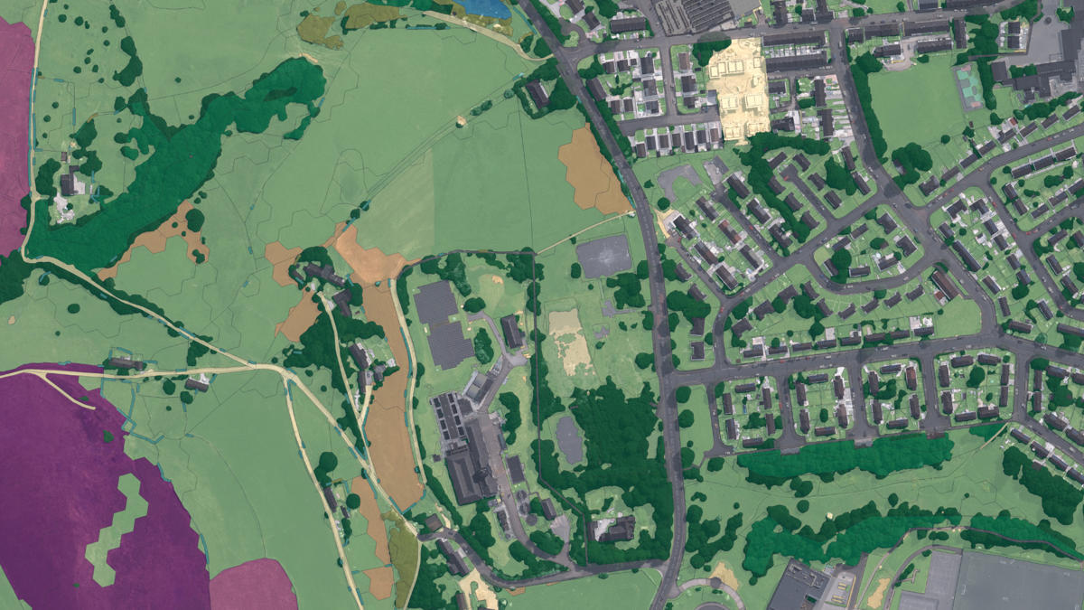
Granular land cover classification
Generate detailed insights into both natural and manmade land cover types, supporting habitat mapping, environmental analysis, and land management.
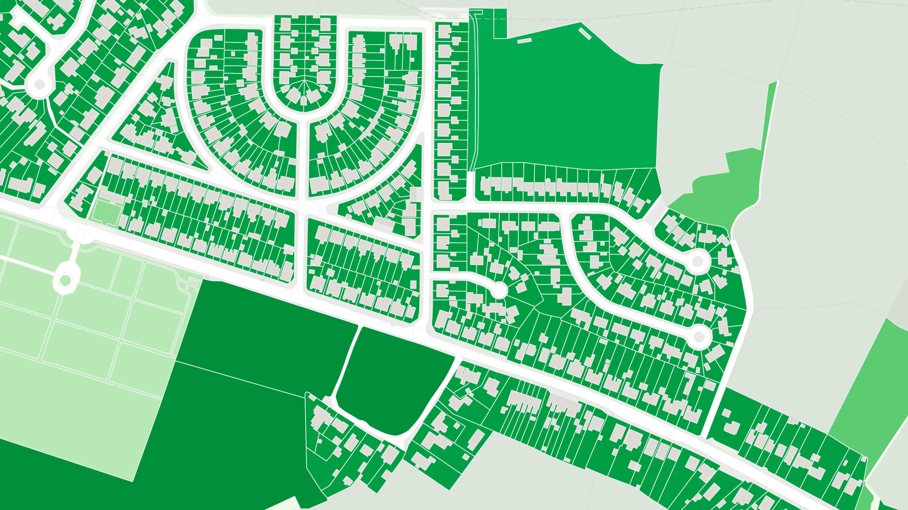
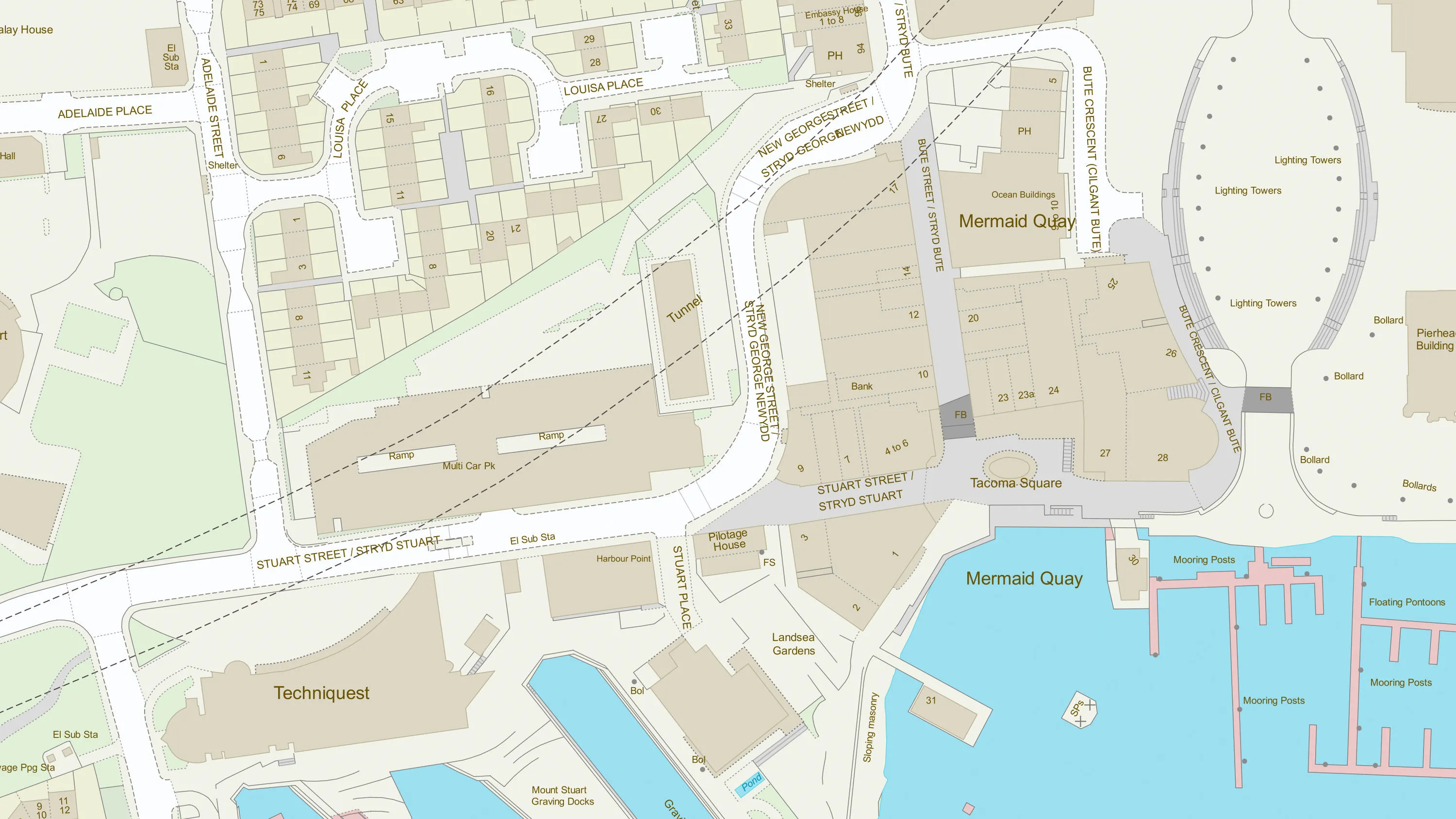
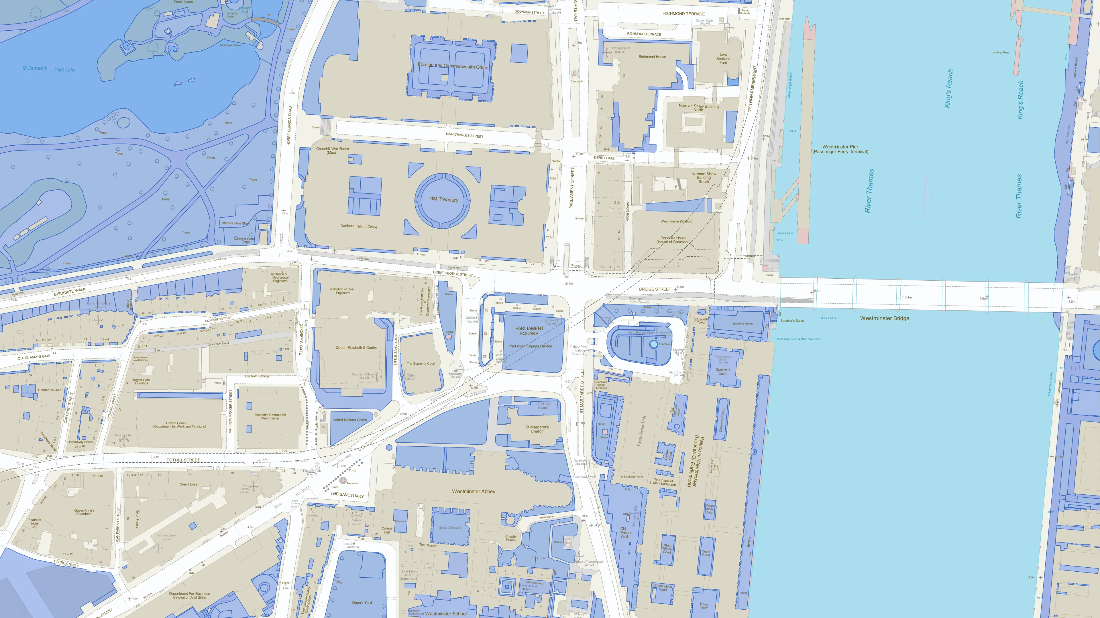
Comprehensive land use mapping
Access geometric representations of land use sites—such as schools, hospitals, and residential areas—to assess human activity, development patterns, and site access.
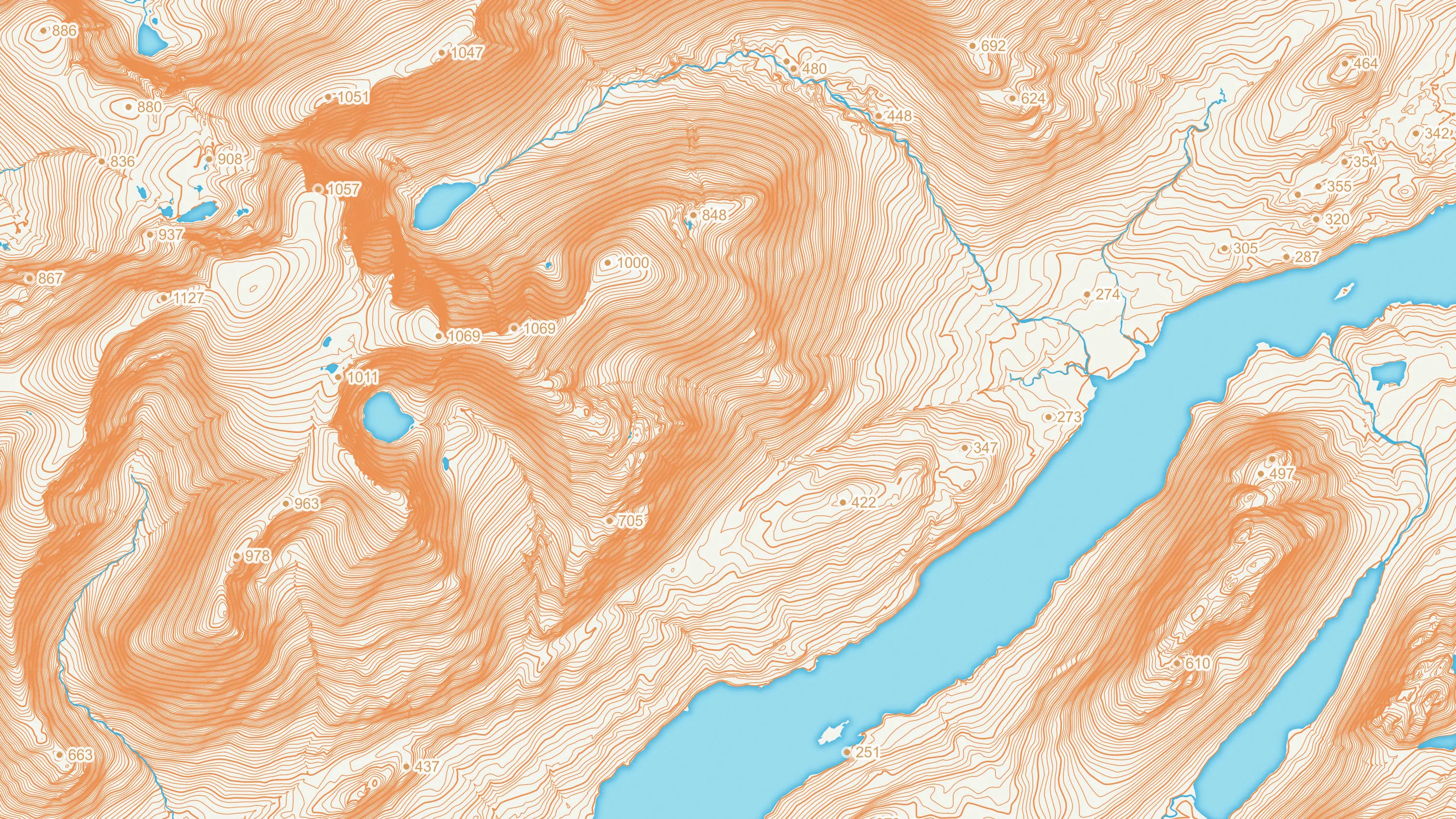
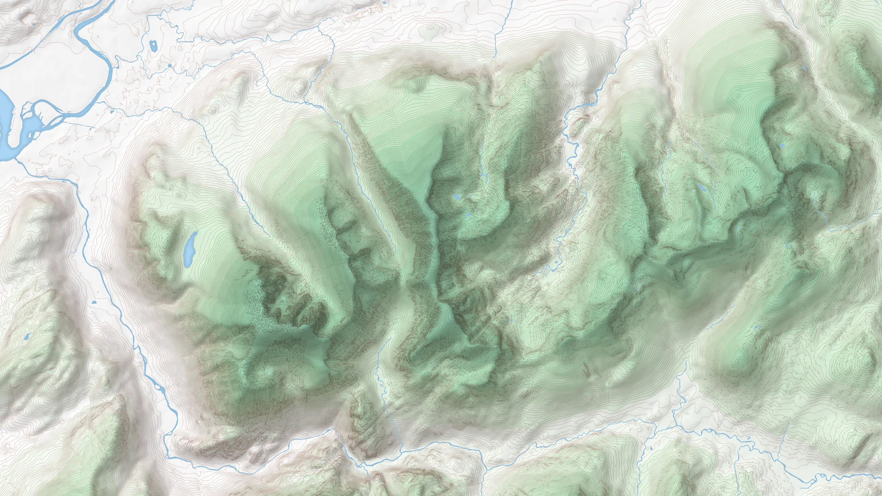
Elevation and gradients
Elevation and gradient data supports flood modelling, infrastructure design, and landscape visualisation.
Accurate area and access insights
Calculate land area estimations, visualise access points to major sites, and analyse land cover breakdowns for statistical and planning purposes.
Flexible land feature types
Work with five distinct feature types — Land, Land Point, Landform, Landform Line, and Landform Point — for versatile analysis and integration with other datasets.
Sector-ready intelligence
From urban planning and environmental monitoring to emergency response and infrastructure design, our land and terrain data delivers actionable insights for a wide range of sectors.
Products offering these key features
This features table highlights which features are available in land and terrain products.
| Feature | Products |
| Land cover classification | OS Land Features, OS MasterMap Topography Layer |
| Enhanced land cover classification | OS Enhanced Land Cover (Beta) |
| Land use classification | OS Land Features, OS Land Use Features, OS MasterMap Topography Layer |
| Land use sites | OS Land Use Features, OS MasterMap Sites Layer |
| Site access points | OS Land Use Features |
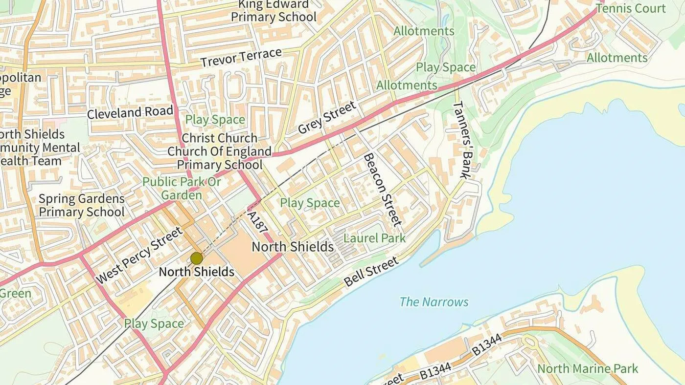
| Urban green space classification | OS MasterMap Greenspace Layer, OS Open Greenspace |
| Contours | OS Terrain 5, OS Terrain 50 |
| Unique identifiers | OS Land Features, OS Land Use Features, OS MasterMap Sites Layer, OS MasterMap Topography Layer, OS Open Linked Identifiers, OS Open TOID, OS Enhanced Land Cover (Beta) |
Land and terrain products
OS Land Features
A complete dataset of topographic land cover features across Great Britain, such as residential gardens, construction sites, and saltmarshes. Contains land cover attribution that describes manmade and natural surfaces.
OS Land Use Features
A complete dataset of sites and access points across Great Britain representing areas used for a particular purpose, for example a school, shopping centre, or private residence.
OS MasterMap Sites Layer
A complete dataset of sites and access points across Great Britain representing areas used for a particular purpose, for example a school, shopping centre, or private residence.
OS MasterMap Greenspace Layer
A comprehensive view of urban green spaces showing both accessible and non-accessible green spaces. It is ideal for environmental management and enables more effective delivery services.
OS Open Greenspace
Information about publicly accessible urban green spaces across Great Britain. It includes parks, sports facilities and other recreational areas. It is suitable for identifying and planning for new recreational areas and supporting public health.
OS MasterMap Topography Layer
A detailed representation of the physical landscape of Great Britain. It includes information about buildings, roads, rivers, and land use as well as natural features.
OS Open Linked Identifiers
An open dataset of cross-referenced identifiers. It provides authoritative relationship between Unique Property Reference Numbers (UPRNs), Unique Street Reference Numbers (USRNs), Topographic Object Identifiers (TOIDs).
OS Open TOID
A TOID (Topographic Identifier) is a unique and persistent identifier for each and every feature found in OS MasterMap products.
OS Enhanced Land Cover (Beta)
A holistic and comprehensive view of the natural habitat of England.
OS Terrain 5
A mid-resolution digital terrain model modelling the physical shape of the landscape of Great Britain. It is available at 5m post spacing and 5m interval contours, produced from photogrammetry. It is ideal for those monitoring environmental changes and regional risk assessment.
OS Terrain 50
A low-resolution digital terrain model modelling the physical shape of the landscape of Great Britain. It is published with 50m post spacing and contours at 10m intervals, produced from photogrammetry. It is appropriate for broad applications over large areas.


Data access APIs
OS NGD API – Features
Access and filter data by attribute, location or time to create your own customised data selections. Use this API to reduce your data management overheads and automate your workflows.
OS Features API
Direct access to the most detailed geographic data for your analysis. Take full advantage of rich geometries and attributes to generate new insight.
OS Vector Tile API
A vector tile service providing detailed Ordnance Survey data as a customisable basemap. It can be used with most web mapping libraries including Mapbox GL JS, Leaflet, OpenLayers and ArcGIS API for JavaScript.
OS Linked Identifiers API
This API allows you to access the valuable relationships between properties, streets and OS MasterMap identifiers.

See how others are using land and terrain products

Sustainable homes, with Southern Housing
Southern Housing is one of the largest housing associations in the UK, owning and managing...

Mapping at the Met Police
The Metropolitan Police is the UK’s largest police force. It polices 620 square...

Plotting the possibilities, with Plot Map
PropertyData empowers property investors, developers, and agents to make data-driven...