OS MasterMap Highways Network - Paths
Try this product with free sample data
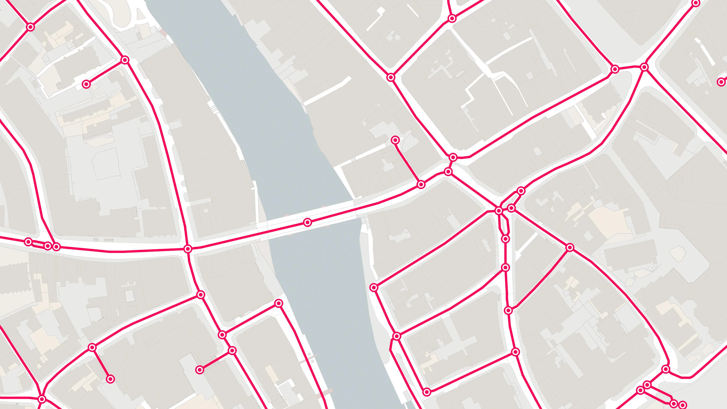
Download a small area of OS MasterMap Highways Network - Paths.
What OS MasterMap Highways Network - Paths provides you with
Optimised navigation
Make more informed decisions about best mode of transport to deliver your package. Get an understanding of the entire navigable network and you could end up squeezing more deliveries into your day.
Deeper path insights
Want to find out where best to place your assets? Get another aspect with information about the authoritative background of a path, as well as any obstructions you might encounter along the route.
Changing travel behaviours
By making the path network better known, you can encourage healthier alternatives to car travel. Use to maintain paths more effectively, and let mobile navigation apps deliver suggested routes to users on the move.
Comprehensive and definite
OS MasterMap Highways Network - Paths is a collection of data from authoritative sources who manage and maintain the Path network across Great Britain. This includes OS path network geometry and features the local highways and roads authorities’ name, numbering and maintenance responsibility information.
Linking streets to homes and infrastructure
This data links to AddressBase. So, you can search for or navigate to an address, improve consultation with residents about roadworks, and identify installations like electricity substations.
Use cases
OS MasterMap Highways Network - Paths can be used for:
- costings or benefits of road and paths policies
- calculating funding allocations
- policy making and asset management
- journey planning, routing, and navigation
- emergency service planning
- transport planning
- delivery
- enforcement regulation
- school allocation
- sustainable travel
- planned works
- projects on the resilience of infrastructure
- smart cities
Related products
OS MasterMap Highways Network - Roads
A navigable road network dataset with detailed information about planned roads and roads under construction for Great Britain.
OS Transport Network
A visual representation of Great Britain's transport networks including road, ferry, rail, and path networks, and the connectivity between them all.
OS Multi-modal Routing Network
OS Multi-modal Routing Network is a fully connected network dedicated for the multi-modal routing of people and goods, designed for use in routing applications.