OS Net RINEX data

OS Net is available for post-processed positioning. This dataset consists of station locations and data delivered as hourly files at 30 second epoch rates.


This product is updated every hour

Free to use for everyone
Data access
  • Browser, FTP
Data structure
  • Vector
Format
  • RINEX 3

What OS Net RINEX data provides you with

Centimetre-level accuracy

Achieve precision positioning with post-processed GNSS data

Nationwide coverage

Full GB coverage is enabled by a robust infrastructure of around 120 base stations.

Choice of access methods

Integrated data directly into your workflows via API or RINEX download

Continuous operation

GNSS data delivered as hourly files at 30 second epoch rates

Use cases

  • Used for various applications, including surveying, mapping, engineering, and environmental projects where accurate national coordinates are needed.

OS Net is available for post-processed positioning. This dataset consists of station locations and data delivered as hourly files at 30 second epoch rates.


This product is updated every hour

Free to use for everyone
Data access
  • Browser, FTP
Data structure
  • Vector
Format
  • RINEX 3
  • OS Open Zoomstack

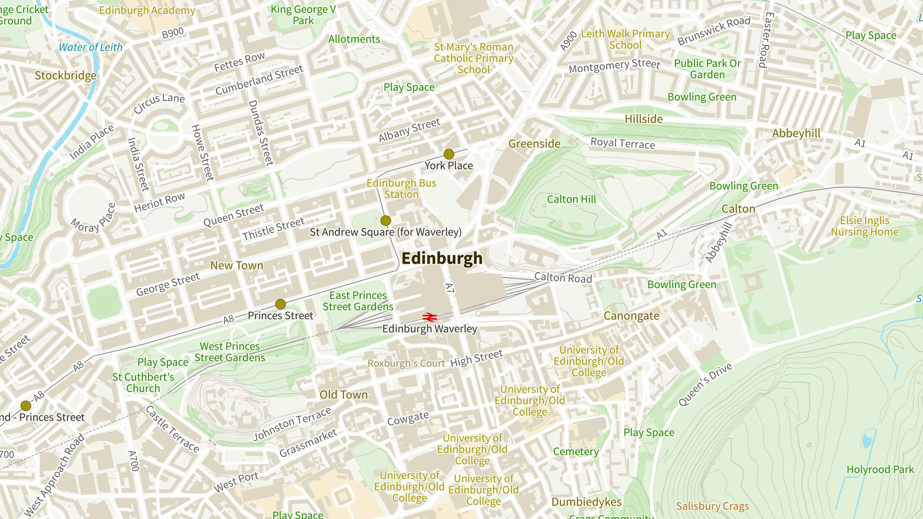
    Ordnance Survey's OS Open Zoomstack is an open vector basemap showing coverage of Great Britain from a national level, right down to street detail.

  • Coordinate transformations

    Access our full suite of Global Navigation Satellite Systems (GNSS) coordinate transformation tools, software and resources.

  • Legacy control data

    Search for passive stations, benchmarks, or triangulation stations, and find out about the accuracy of our legacy control data.