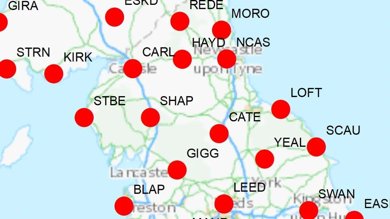
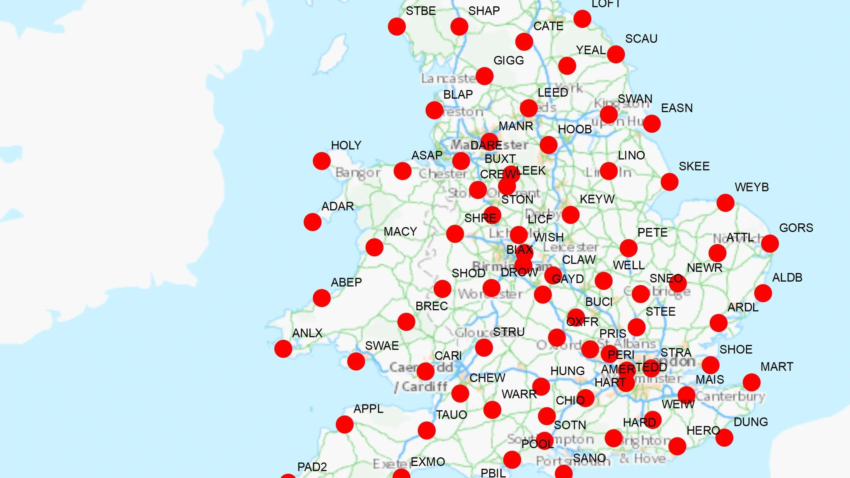
OS Net is Ordnance Survey’s network of GNSS base stations across Great Britain, delivering real-time and post-processed correction data to support accurate surveying, mapping, and geospatial applications.

OS Net positioning data
Highly accurate Global Navigation Satellite Systems (GNSS) data

What is OS Net positioning data?
Features of OS Net
High-accuracy GNSS
Achieve centimetre-level precision positioning, with post-processed GNSS data integrated directly into your field and office workflows, via API or download.
Full national coverage
Benefit from multi-constellation GNSS support across Great Britain, powered by ~120 base stations.
Efficient on-site surveying
Capture precise coordinates with a single GNSS receiver, optimising operations and reducing costs.
Trusted by government and industry
Supports critical applications for the National Geographic Database, HM Land Registry, Met Office forecasting, and autonomous systems via commercial partners.
Sector-ready intelligence
OS Net delivers dependable, high-accuracy data and reliable precision positioning, for applications such as surveying, geospatial research, construction, agriculture, automated systems and beyond, with centimetre-level precision.
Access OS Net positioning data
To access OS Net RINEX data, register for the free 'OS OpenData Plan' via the OS Data Hub.
OS Net RINEX data
Recorded OS Net data is freely available in standard RINEX (v3) format. Hourly files at 30 second rate.
Further details on OS Net RINEX data
OS Net RINEX data is a standardised format for storing satellite navigation data collected by OS GNSS base stations in Great Britain.
Support and getting started
The accuracy of our data
Find out about the accuracy of our OS Net stations and coordinate transformations, concerning OSGM15 and OSTM15 data.
GNSS and OS Net questions and answers
Find frequently asked questions about the Global Navigation Satellite System (GNSS) and our OS Net network on this page.
Our expert partners can help you
SmartNet
From Hexagon
VRS Now
From Trimble
Topnet live
From Topcon
FarmRTK
From AXIO-NET
EssentialsNetRTK
By SoilEssentials
RTK Premium
From Premium Positioning
Polaris
From Point One