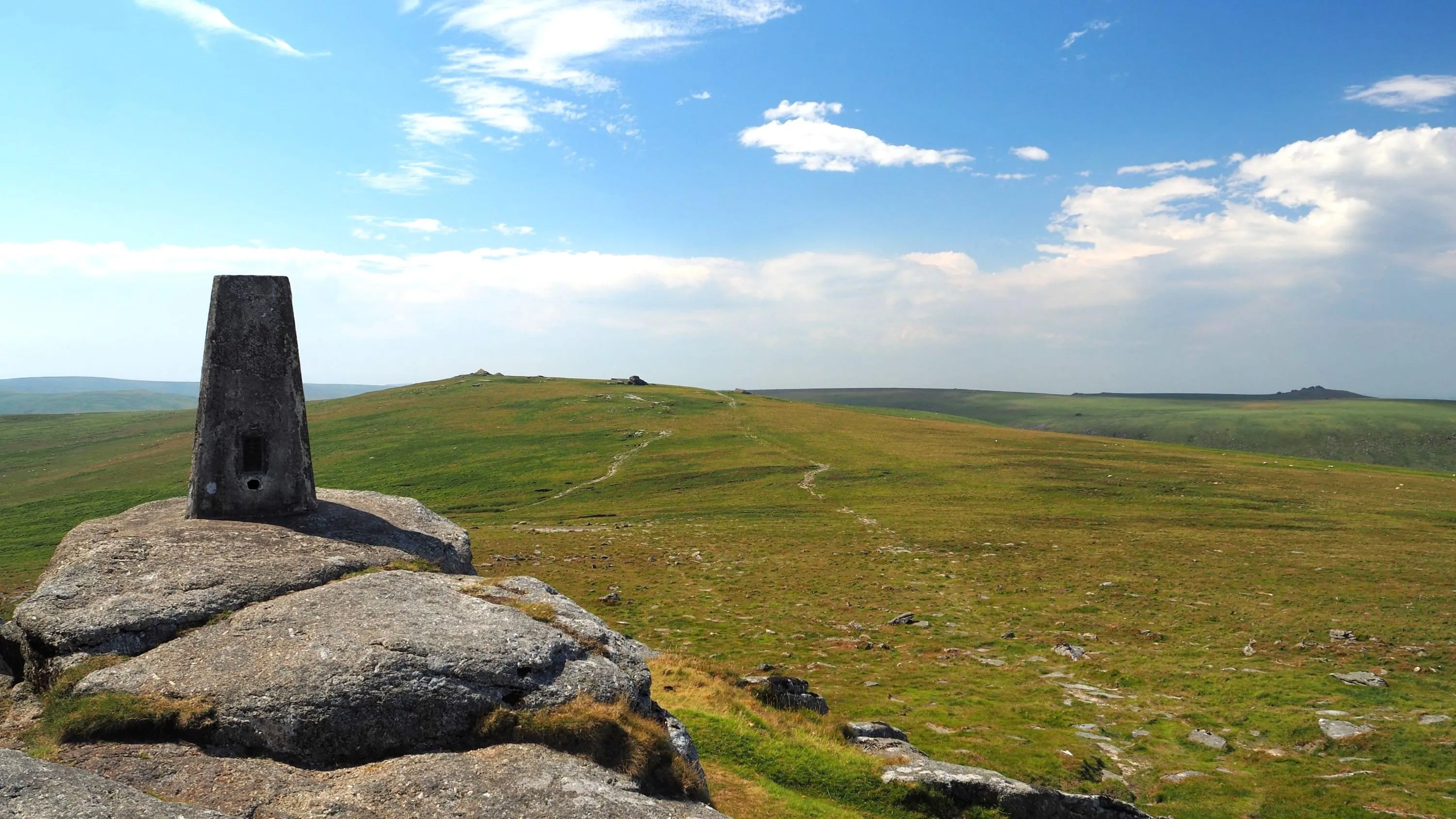
Geodesy is the science of measuring the shape of the Earth. It is a fundamental input to Ordnance Survey’s public task to “maintain and develop the underlying physical infrastructure which is needed to support the capture and maintenance of the National Geographic Database”.
Geodesy and positioning at Ordnance Survey includes:
- The national GNSS Network OS Net® realising a frame of the European Terrestrial Reference System 1989 (ETRS89) coordinate reference system.
- OS Net data and products to provide user access to ETRS89.
- The national transformation OSTN15™ to define and provide user access to the OSGB36® mapping coordinate reference system via ETRS89.
- The Fundamental Bench Mark (FBM) network to define Ordnance Datum Newlyn (ODN) on mainland GB.
- The national height corrector surface (“geoid model”) OSGM15™ to realise and provide user access to ODN and other height datums (e.g. on some Scottish islands) via ETRS89.


