Geovation announces its 23rd cohort of innovative startups and welcomes its newest partner to the Accelerator
NERC has now joined Defra, HM Land Registry and Ordnance Survey
Press Office
NERC, the UK's leading public funder of environmental science, joins a growing partnership established by Ordnance Survey (OS) ten years ago. HM Land Registry (HMLR) joined the following year, with the Department for Environment, Food and Rural Affairs (Defra) becoming a partner this August. Together, the organisations are backing innovative businesses that use trusted public sector data, Earth Observation and emerging technologies to address real-world challenges.
Through Geovation, OS and HMLR have been supporting six startups per cohort focused on Location Intelligence and Property Technology (PropTech). With the addition of Defra and NERC, the latest programme can now support a further six startups specialising in land use innovation, enabling founders to leverage location, property and Earth Observation data to improve decision-making, environmental management and long-term resilience. Satellite Applications Catapult (SAC) is also providing additional mentoring to those six startups. This will enable matchmaking for pilots and readying the startups for procurement.
"We’re delighted to welcome the Natural Environment Research Council and our new cohort to the Geovation Accelerator Programme. The volume and quality of applications show strong demand from startups using data and technology to tackle major environmental, location, property and land use challenges. We look forward to working with our partners to help these founders develop ideas with lasting impact."
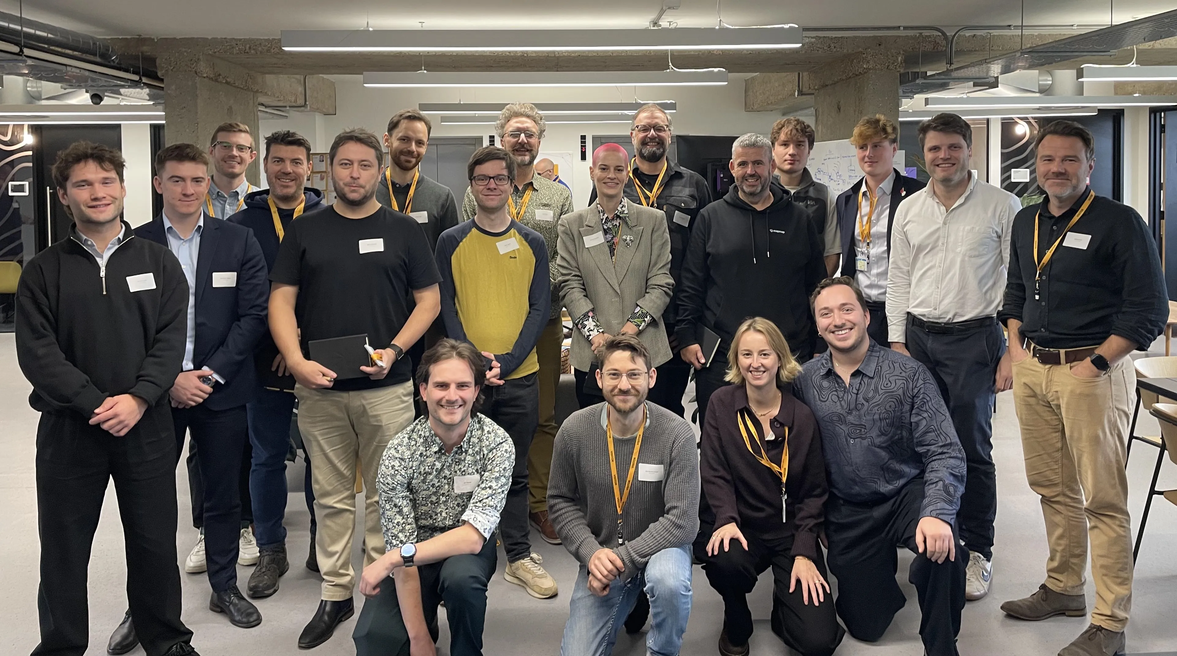
Geovation has supported over 250 startups who have gone on to raise more than £257 million in investment funding. The programme is fast becoming one of the UK’s most sought-after specialist accelerators, with an over 85% per cent increase in applications from entrepreneurs in the latest round. With double the number of accelerator partners, Geovation can now support twice the usual number of startups in this cohort, helping more founders turn innovative ideas into scalable solutions that deliver economic, social and environmental impact.
Support from the programme includes targeted workshops, one-to-one mentoring, and technical support from the Geovation team. A key differentiator of the programme is the access it provides to valuable datasets and just as importantly, the expertise to help startups understand, apply and derive value from them. Each of the 12 startups will also receive up to £20,000 equity free funding.
The addition of Defra and NERC strengthens this further, creating a richer, multi-partner data ecosystem where founders can test, validate and enhance their solutions using a broader range of real-world data sources.
"We’re delighted to be joining the Geovation partnership. Together, we can accelerate innovation that addresses environmental and land-use challenges while delivering benefits for communities, nature and the UK economy."
The successful startups in the 23rd cohort are below.
Location Intelligence - supported by Ordnance Survey (OS)
This track focuses on startups assessing national mapping and location data.
DearMP – A constituency case management platform that helps MPs and their teams manage, track and respond to constituent enquiries more efficiently.
StreetVision – A street-level infrastructure intelligence platform using computer vision, street-level imagery and geospatial data to assess walking, cycling and accessibility infrastructure.
MapMap – An agent-first mapping and navigation platform providing routing, search and map infrastructure that organisations and AI agents can host and control themselves.
PropTech - in association with HM Land Registry (HMLR)
This track supports startups using land or property data to transform the property industry.
Off-Market – A private, agent only network that helps estate agents match buyers and sellers using off-market and pre-market properties that never reach public property portals.
Flatwise – An end-to-end platform helping leaseholders and share of freeholders manage resident-controlled buildings more effectively and transparently.
Consus Energy – A platform deploying and managing battery storage across commercial properties to reduce energy costs, generate revenue and support the electricity grid.
"HM Land Registry is proud to continue supporting the Geovation Accelerator and the next generation of PropTech innovators. It’s always exciting to see how each new cohort will develop their ideas to provide solutions to real-world problems, using our data in practical and imaginative ways to improve the property market for everyone."
Spatial prioritisation - in association with Defra and NERC
RootRisk – De-risking the transition to resilient farming and rewarding the farmers who build it. Its geospatial AI reads farming practice at field, farm and landscape level, turning exposure to extreme weather and security of supply into bankable risk scores.
Oversite Earth – A natural capital intelligence platform combining satellite, drone and ground-sensor data to help land stewards measure, manage and demonstrate the natural value of their land.
Infraview – Infrastructure engagement software that helps project teams manage stakeholder information and reduce the administrative burden of complex engagement programmes.
Nature Data Solutions (HERON) – A geospatial intelligence platform using Earth observation to measure ecosystem resilience and help land managers prioritise nature recovery interventions.
DigVentures (Deep Time) – A landscape intelligence platform combining Earth observation, historic data and citizen science to support nature recovery, environmental monitoring and heritage management.
ANO Insights – A solar intelligence platform combining financial, generation, planning and spatial data to help investors and developers risk-assess and value operational solar assets.
The programme will kick off with an immersive induction designed to build a strong cohort, foster early engagement with OS and programme partners, and help founders develop a clear and compelling introductory pitch. Deep-dive sessions focusing on customer development, technology, business models, intellectual property, team building, funding readiness and more will follow. Access to Geovation’s wider founder, partner and geospatial ecosystem is also an important part of the programme.
Sharing the latest news about OS. We can license you to use OS maps in print, online and film format. For more information and resources for journalists, bloggers and media professionals, email pressoffice@os.uk or call 023 8005 5565.
Geovation Accelerator Programme
Find out more and register your interest for the Geovation Accelerator Programme - backed by Ordnance Survey and HM Land Registry.
Find more news
- Location intelligencenews articles
- Built environmentnews articles
- Biodiversity and nature recoverynews articles
- Housing and land usenews articles
- Government and public sectornews articles
- Land and propertynews articles
- Environmentnews articles