News
The latest news and press releases from Ordnance Survey
Filters (1)
Showing 6 results
Page 1
Ordnance Survey develops a ready-to-use land and habitat data tool to help with Biodiversity Net Gain
The tool could help speed up the Government's ambition to build 1.5 million homes sustainably.
- News
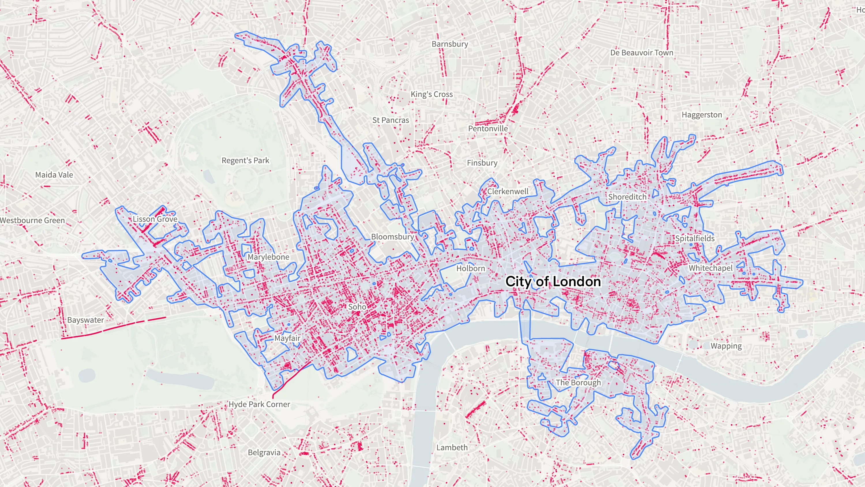
Ordnance Survey’s new national retail area data confirms London is the country’s biggest shopping destination
The new data will enable users to build a wealth of insights into the economic areas of Great Britain.
- News
Ordnance Survey supports the release of a new digital map of underground pipes and cables for the UK
Ordnance Survey supports the release of a new digital map of underground pipes and cables for the UK.
- News
OS supports Atkins to build underground map of UK's pipes and cables
Ordnance Survey is working with leading engineering and project-management consultancy Atkins to build a National Underground Asset Register (NUAR) for the UK.
- News
How to assess education facilities using OS MasterMap Sites Layer
In this month’s article we are looking at integrating OS MasterMap Sites Layer into AddressBase, including questions and answers.
- News
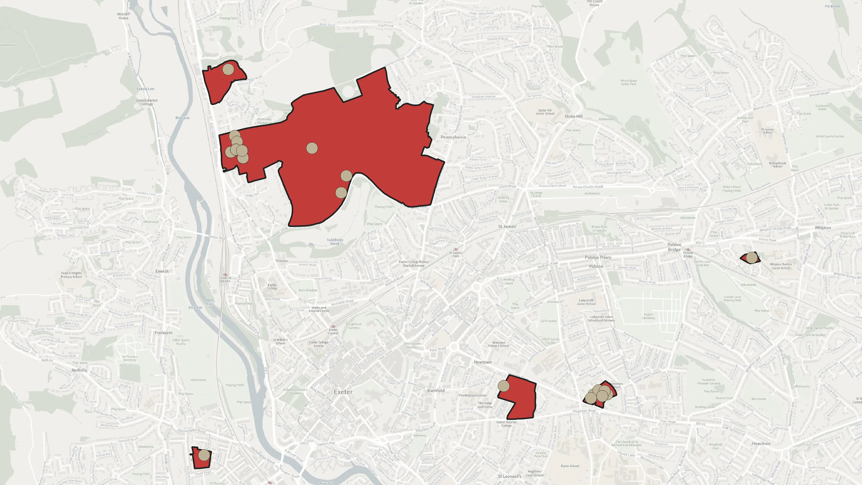
Analysing Neighbourhoods using AddressBase Core
OS Geospatial Consultants give insight to a technical challenge they've seen.
- News


You have viewed 6 of 6 news articles