OS Enhanced Land Cover (Beta)

The OS Enhanced Land Cover (Beta) offers a holistic and comprehensive view of the natural habitat within England, by aggregating authoritative OS data with a wide range of third-party land cover and ecological datasets. Assess and monitor the land cover of a site more effectively, using a comprehensive geospatial dataset designed to assist sustainable development practices.

Data access
  • Download
Data structure
  • Vector
Format
  • GeoPackage

What OS Enhanced Land Cover (Beta) provides you with

High resolution imagery

OS’s 25cm aerial imagery creates much higher resolution mapping of natural habitats, providing a comprehensive indication of vegetation cover, land use, and habitat type.

Access integrated data

Integration of multiple authoritative OS and third-party datasets saves time, effort and money early in the baselining workflow.

Habitat classifications

OS Enhanced Land Cover includes the UKHab Habitat Classification system, as referenced in Biodiversity Net Gain legislation, helping to make informed site selection decisions earlier in workflows.

Use cases

  • Conduct biodiversity net gain (BNG) assessments – both for early workflow desktop analysis and for use by ecologists in the field.
  • Developers, landowners, and ecologists can better understand the composition of their land cover at scale.
  • Assist in the planning of nature-based restoration projects, such as re-wilding, flood risk management and green corridors, with a detailed understanding of land cover.

The OS Enhanced Land Cover (Beta) offers a holistic and comprehensive view of the natural habitat within England, by aggregating authoritative OS data with a wide range of third-party land cover and ecological datasets. Assess and monitor the land cover of a site more effectively, using a comprehensive geospatial dataset designed to assist sustainable development practices.

Data access
  • Download
Data structure
  • Vector
Format
  • GeoPackage
  • OS Land Features

    Explore detailed land cover data, and visualise the land cover make-up of Great Britain, including both manmade features and natural land features.

  • OS Land Use Features

    Visualise and analyse geometric representations of different types of land use, land use sites, and site access data.

  • OS MasterMap Imagery Layer

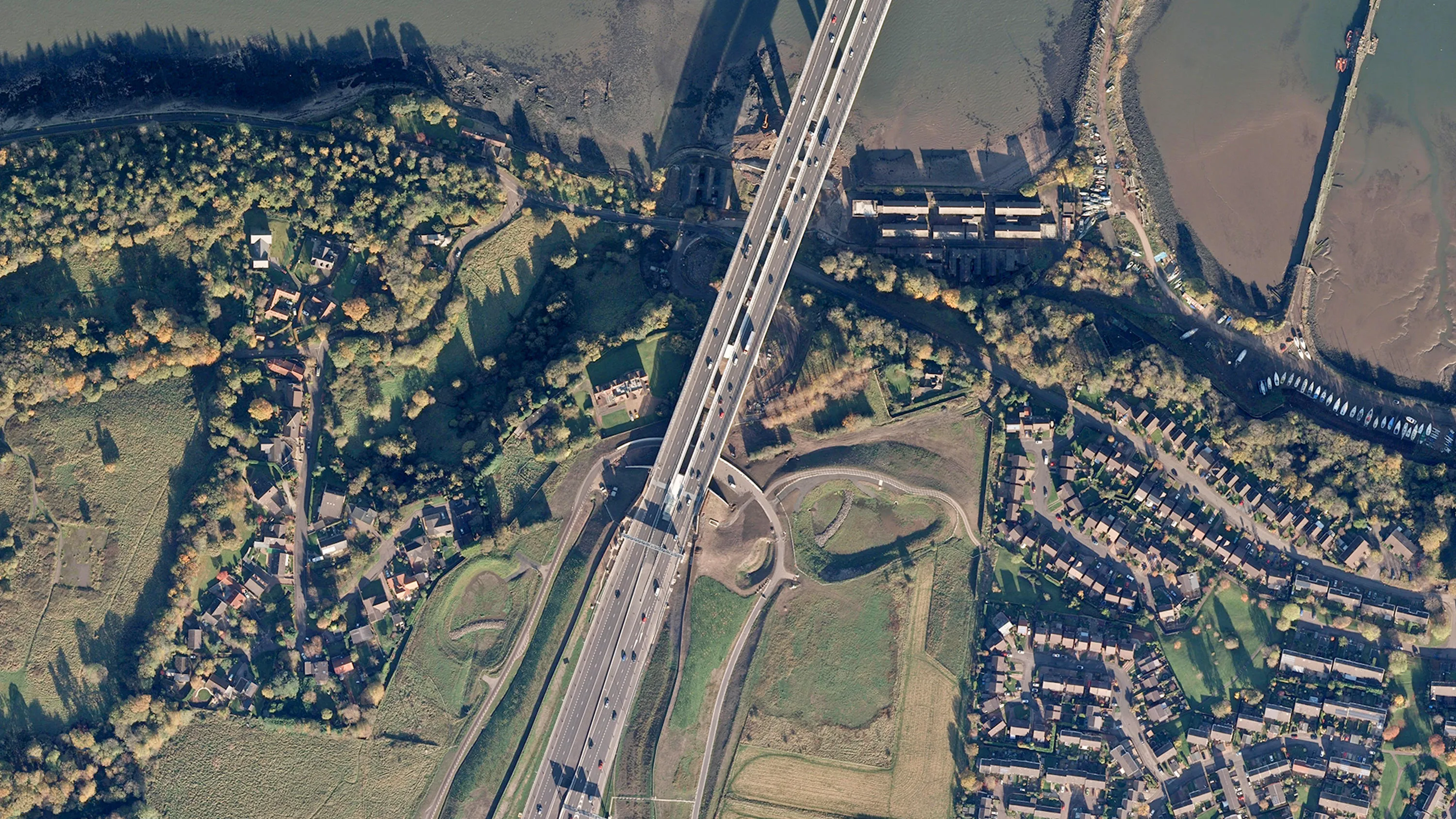
    Digital colour-balanced and corrected for geometric distortions (orthorectified) aerial photography for Great Britain.