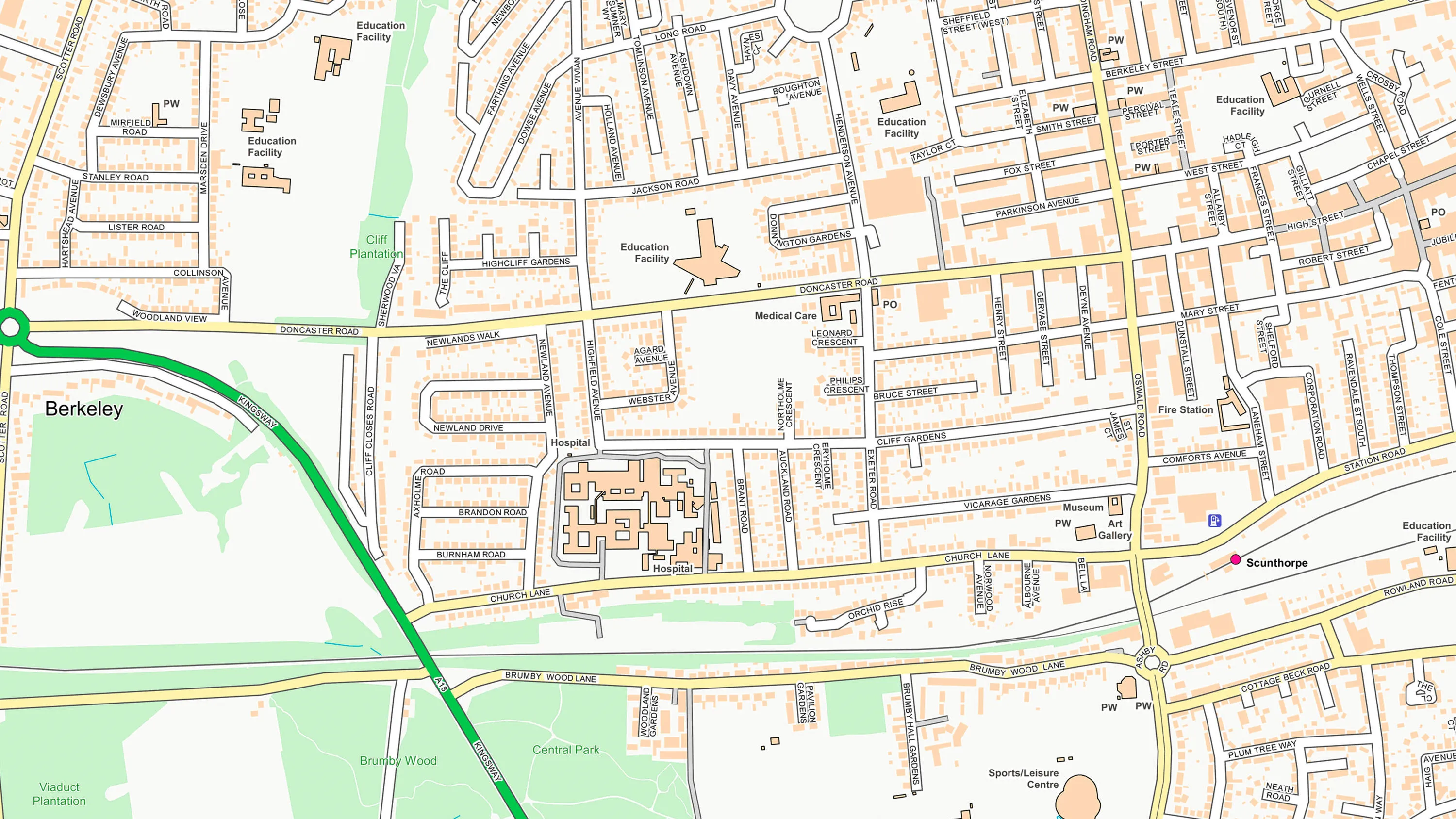
Named places and features
Quickly find named locations, such as towns, hills, lakes or beaches. Identify places with multiple names and look up places with an alternative language name, including English, Welsh, and Gaelic.
Download a small area of OS Named Features. Or try out the real thing by applying for a Data Exploration Licence.
Quickly find named locations, such as towns, hills, lakes or beaches. Identify places with multiple names and look up places with an alternative language name, including English, Welsh, and Gaelic.
Find unofficial, colloquial names given for geographic features and locations provided via crowd sourcing. This is particularly designed to assist emergency services.
Clarify locations on road networks with named intersections between roads at junctions and roundabouts.
The National Geographic Database (NGD) sets the benchmark in accuracy and completeness for location data. NGD data helps businesses and government make critical decisions, and deliver vital services with the utmost confidence and certainty.
The NGD is the single store of Ordnance Survey’s authoritative data for Great Britain; the repository of millions of records that precisely define the built and natural environment, in unparalleled detail.
Central to the power of NGD data is a single, structured database. Unlike previous generations of OS data, NGD data is built for analytical uses and designed to be the bedrock of more intelligent solutions. It reduces the complexity towards insight and getting the answers you need.
OS Open Names is an open dataset of place names, road numbers and postcodes in Great Britain.
OS OpenMap Local is an open dataset of detailed, street-level mapping of Great Britain.