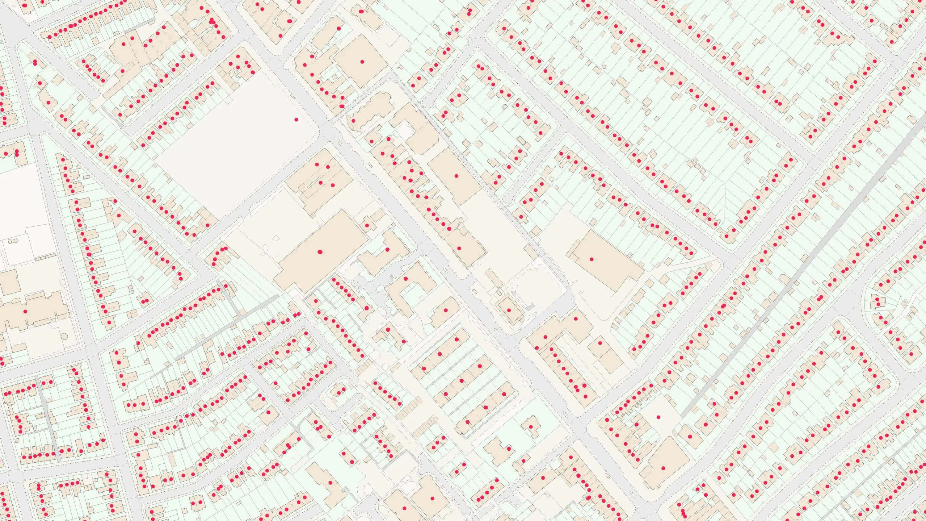
A complete address data collection for Great Britain, and lists of named features and places as identifiers for real-world locations. Access a comprehensive register of all property addresses, UPRNs, their locations, function, and key characteristics, plus geographic place names, and a gazetteer designed for emergency services. Data in this category supports everything from property, logistics, and planning, to public service delivery, and geocoding.

Addresses and names data
Discover authoritative location intelligence with OS’s addresses and names datasets, relating to addresses, UPRNs, named features, and places

What is addresses and names data?
Features of addresses and names data
Enhanced mapping and analysis
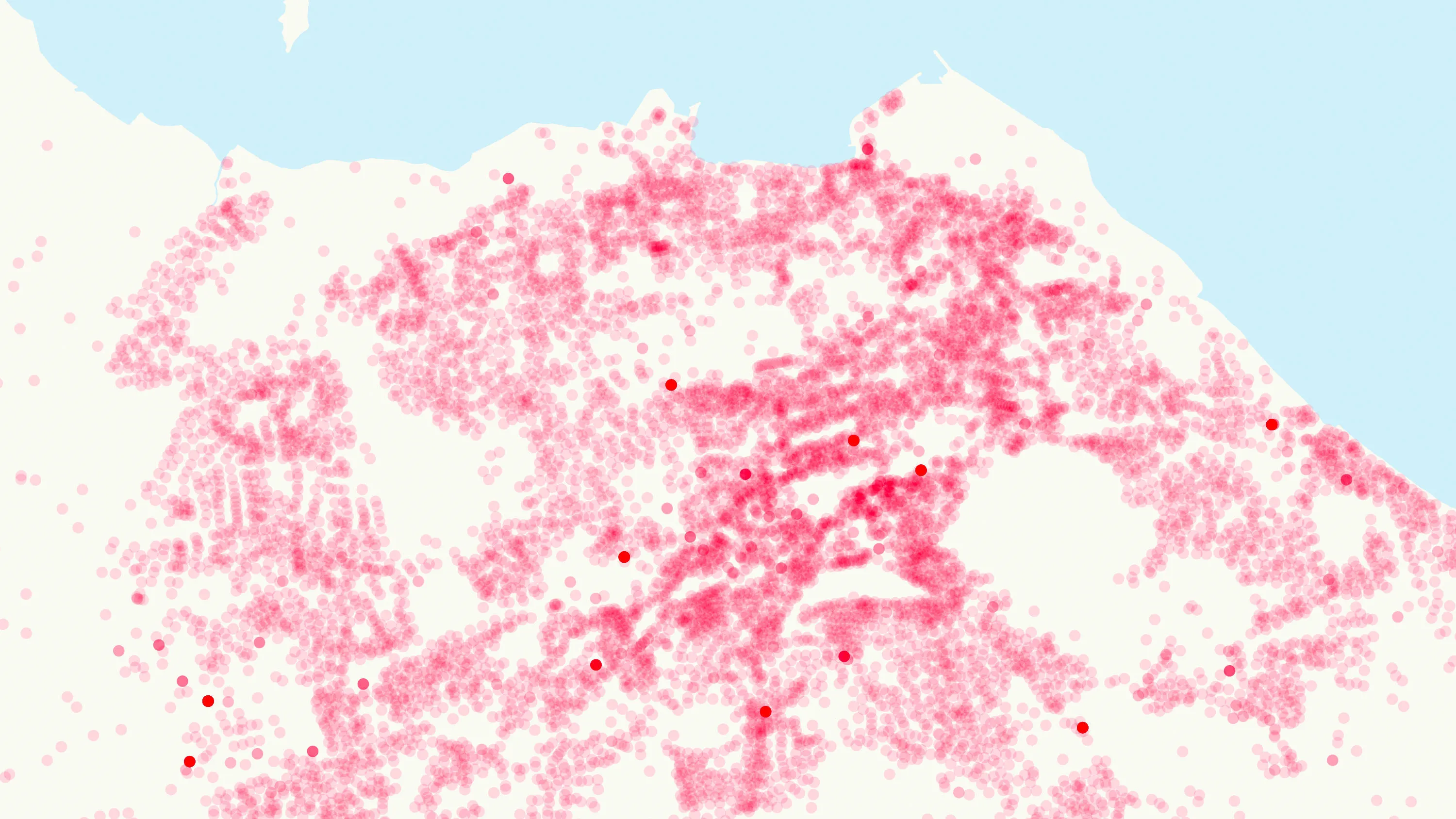
Visualise and analyse named locations alongside detailed address data, including postal status, construction phase, and lifecycle tracking.
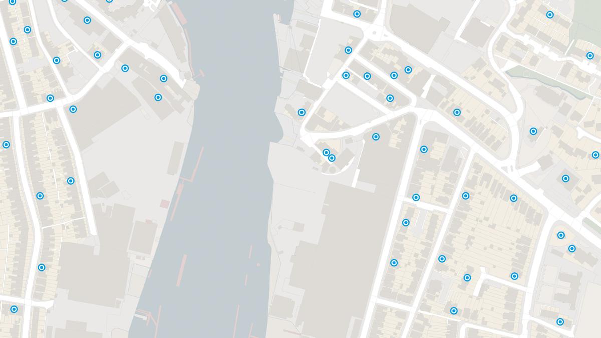
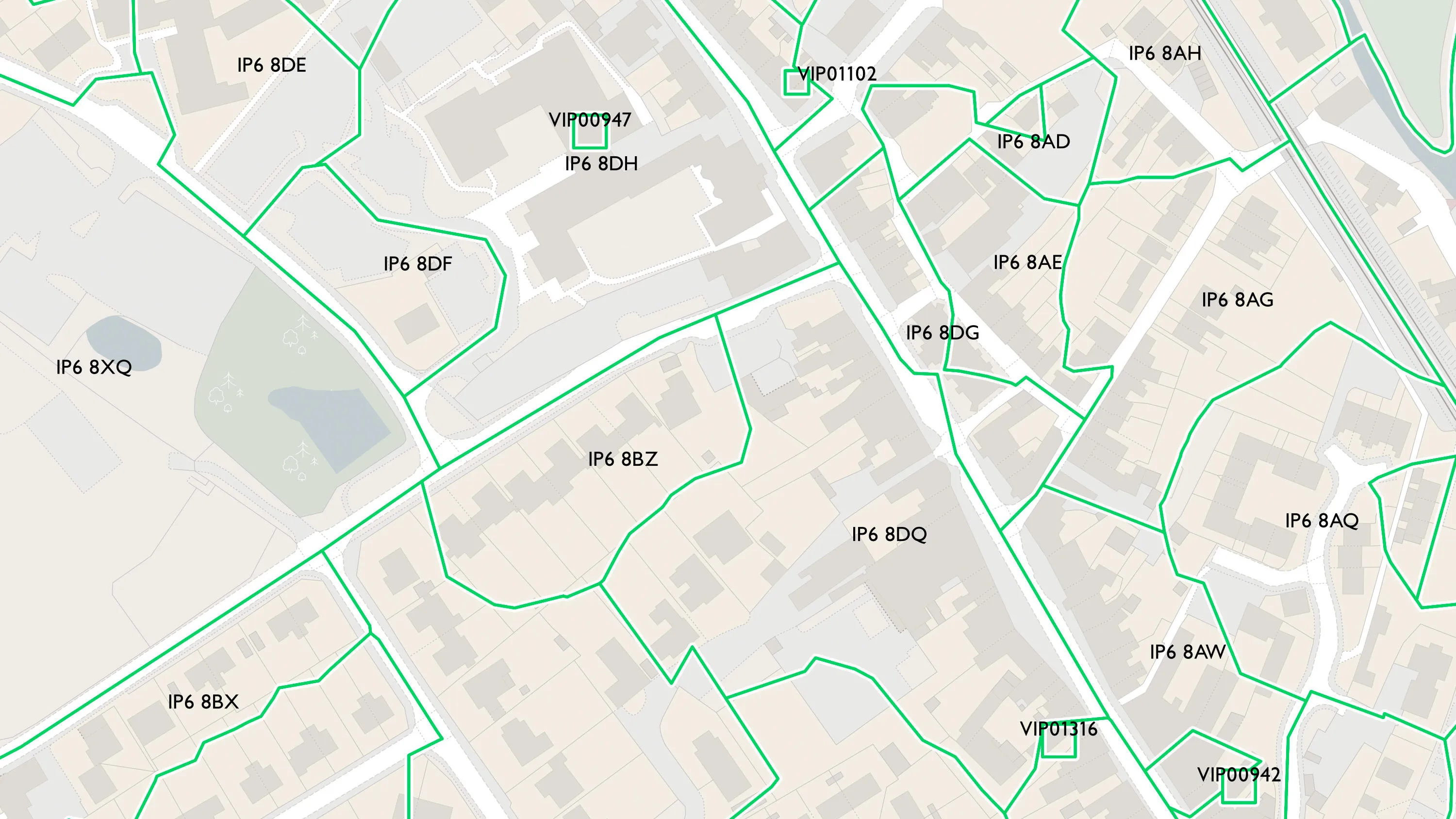
Islands data
Northern Ireland, the Channel Islands and Isle of Man also have the same feature types as GB addressing, extending capabilities to islands, enabling the same quality insights.
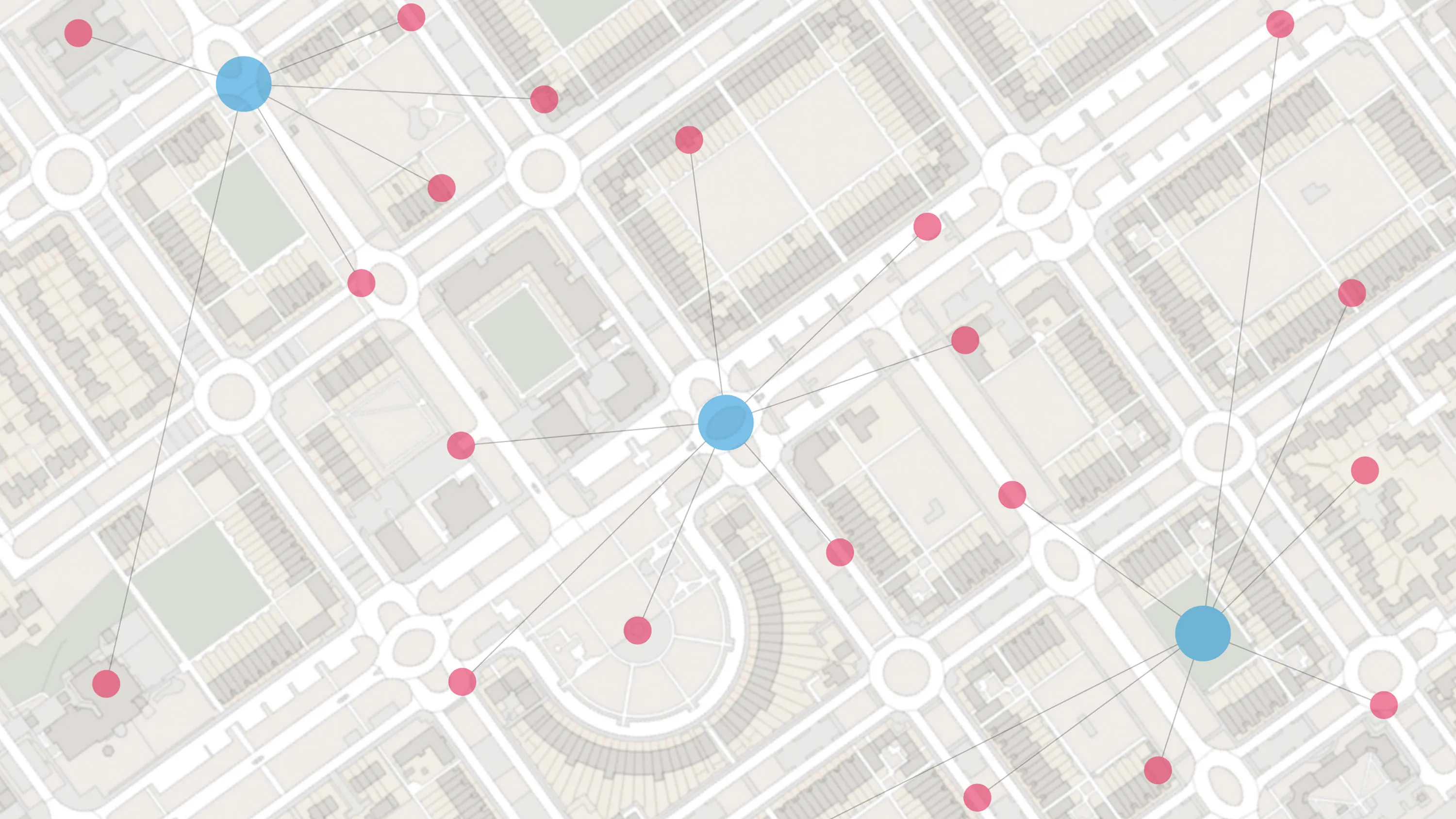
Unambiguous linking
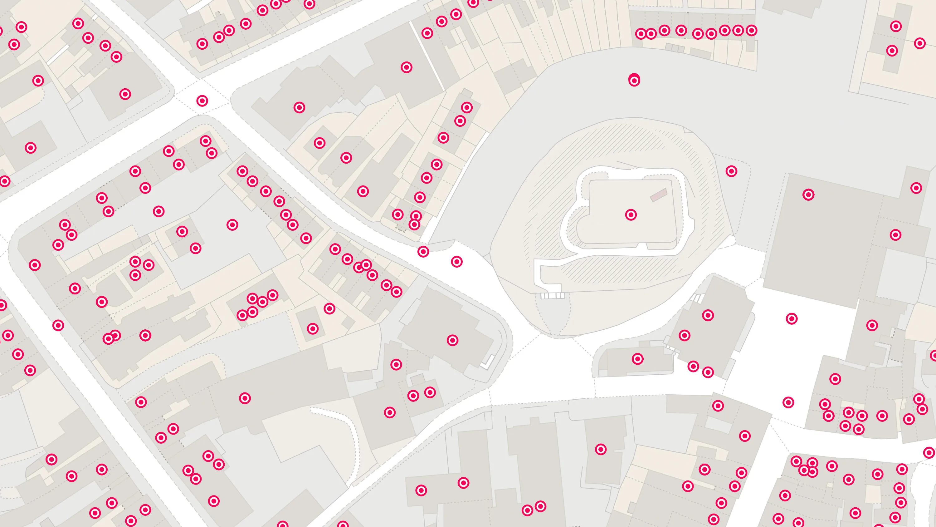
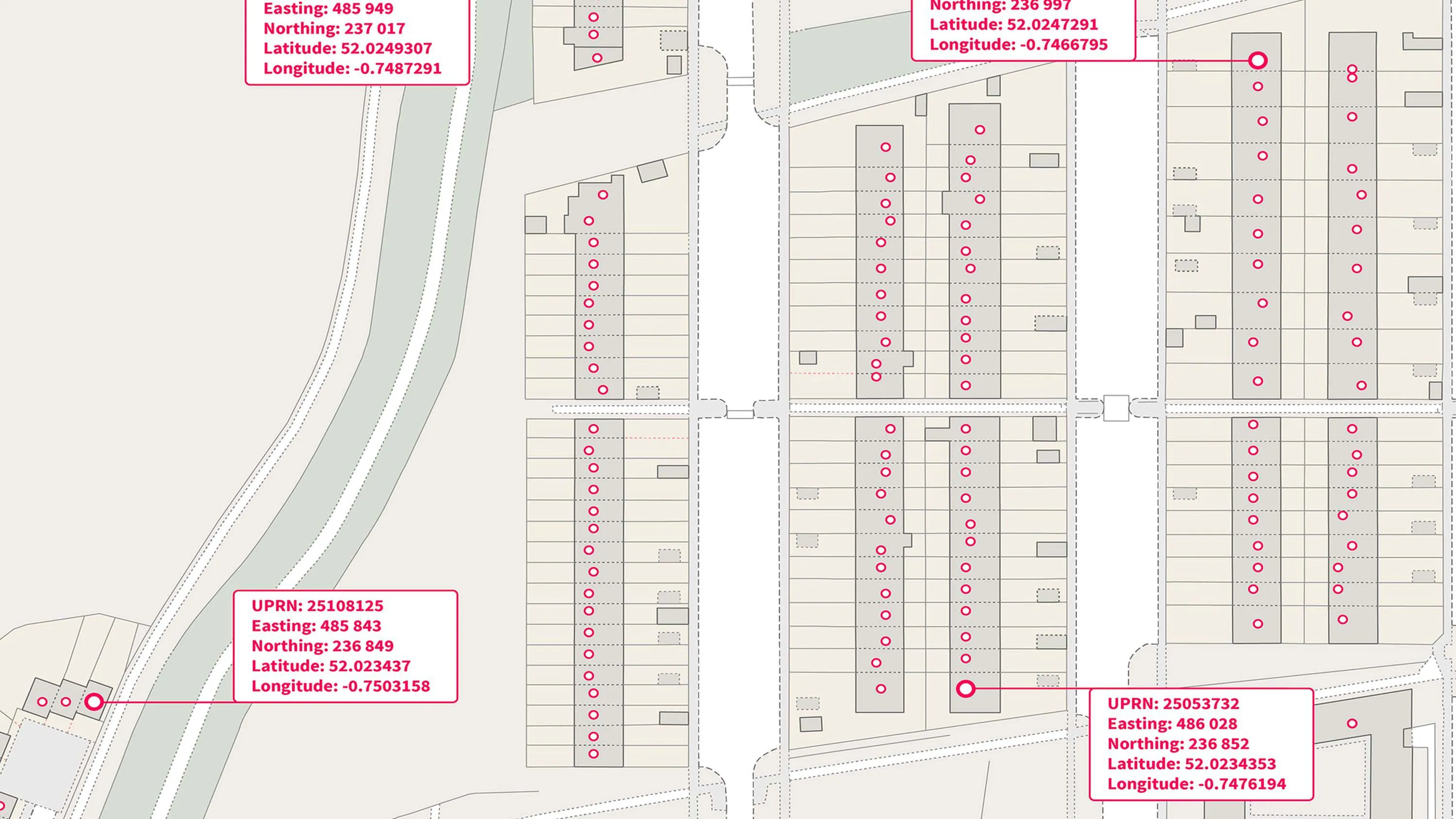
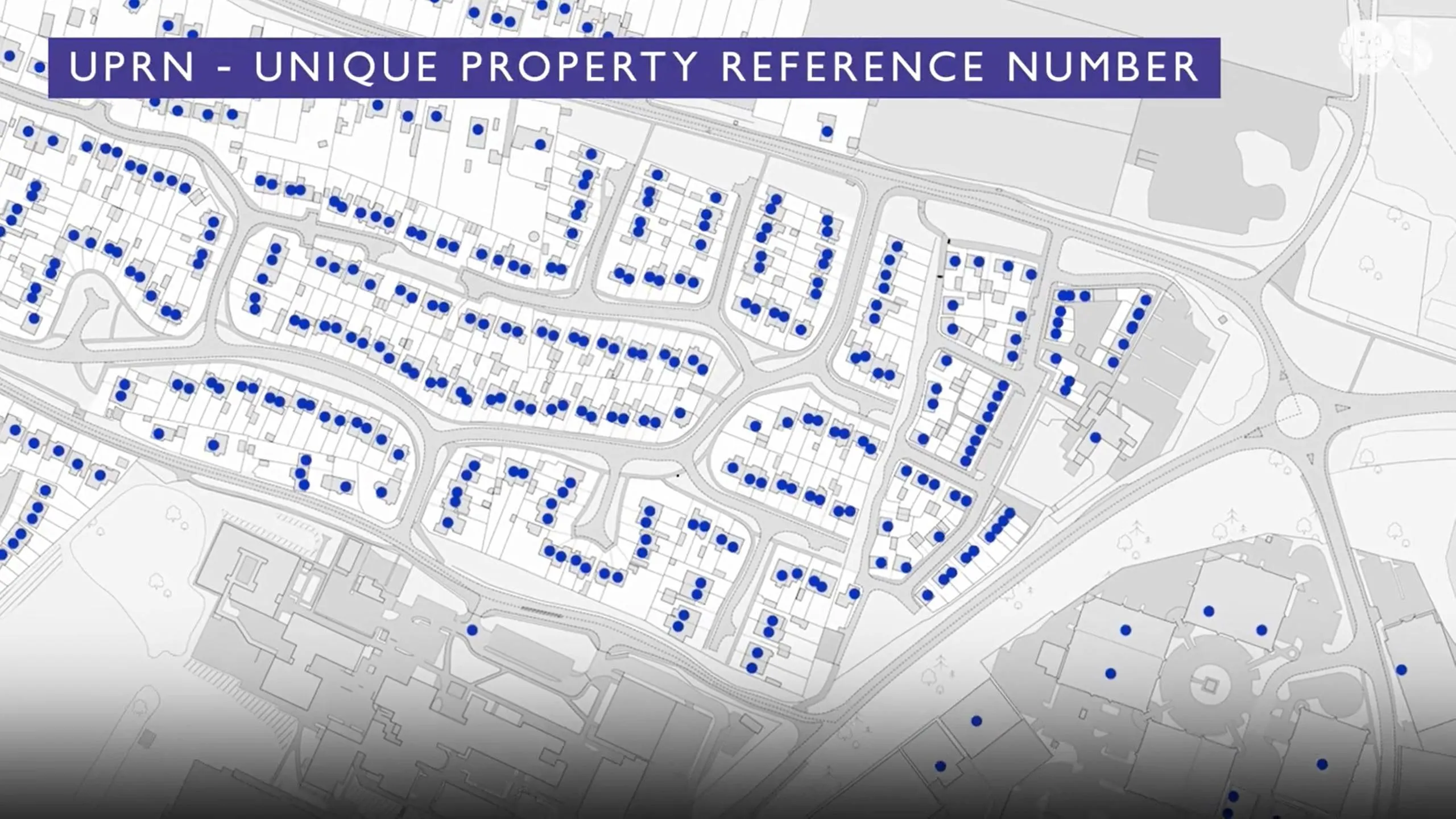
Link datasets using Unique Property Reference Numbers (UPRNs), Ordnance Survey Identifiers (OSIDs), and Topographic Identifiers (TOIDs) to unify address and place data across systems. The UPRN, associated with every address record, enables the unambiguous linking of multiple datasets.
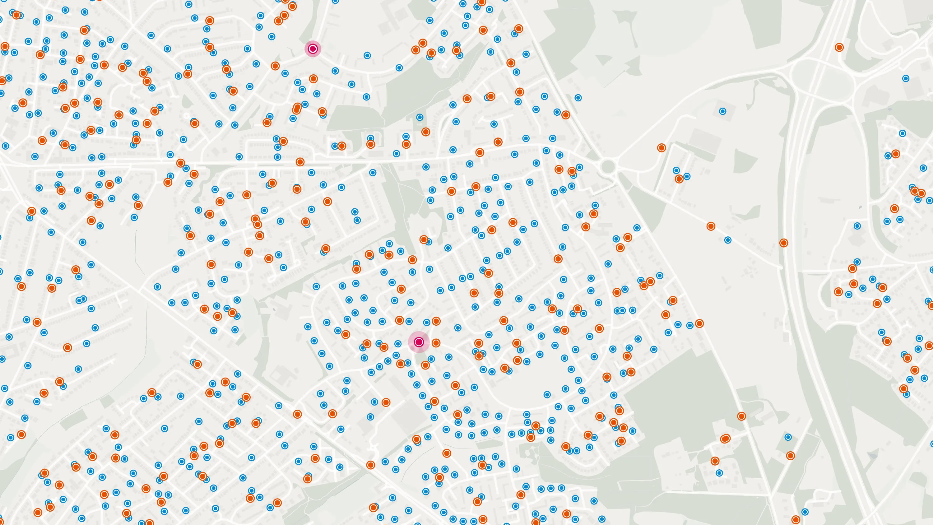
Geographic searching
Rapidly locate settlements, landmarks, and distinct geographic features, as well as high-level visualisation and spatial analysis of named features and places, to enhance searchability and assist rapid response.
Additional language support
Identify places with multiple names, and with an alternative language name, including English, Welsh, and Scots/Gaelic.
Sector-ready intelligence
Infrastructure planning, emergency responders, public service delivery - this collection supports a wide range of sectors with reliable, location-based insights.
Products offering these key features
This features table highlights which features are available in addresses and names products.
| Feature | Products |
| Unique Property Reference Number (UPRN) |
OS GB Address, |
| Local authority and postal addresses |
OS GB Address, |
| Address lifecycle information |
OS GB Address, |
| Objects without postal addresses |
OS GB Address, |
| Settlement and place names |
OS Named Features, |
| Crowd-sourced names | |
| Named road junctions | |
| Postcode points | |
| Postcode areas | |
| Postcode statistics |
Addresses and names products
OS GB Address
A complete address data collection for Great Britain, including UPRNs, property classification, postal status, and construction status.
OS Islands Address
A complete address data collection for Northern Ireland, the Channel Islands and Isle of Man, including UPRNs, and property classification, postal and construction status.
OS Named Features
Our list of named features and places, as identifiers for locations in the real world: cities, towns, beaches, reservoirs, and more.
AddressBase Core
AddressBase Core is a simple, accessible addressing data product giving plug and play access to complete, accurate address data.
AddressBase Premium
AddressBase Premium offers full lifecycle information of a property that can be used within geographical information systems & database systems.
AddressBase Premium Islands
An addressing gazetteer offering full lifecycle information of a property for Northern Ireland, Isle of Man and the Channel Islands.
OS Open UPRN
An open dataset enabling linking, sharing and visualisation of data related to UPRNs.
Code-Point
Code-Point® is a postcode locator with postcode units in Great Britain and Northern Ireland.
Code-Point Open
Ordnance Survey's Code-Point Open is an open dataset of all the current postcode units in Great Britain.
Code-Point with Polygons
Code-Point with Polygons shows the notional shape of every postcode unit in Great Britain including buildings with multiple postcodes.
OS Emergency Services Gazetteer
The OS Emergency Services Gazetteer (ESG) provides a national, consistent, and maintained view of the locations and names of places and objects.
OS Open Names
OS Open Names is an open dataset of place names, road numbers and postcodes in Great Britain.


Data access APIs
OS Places API
OS Places API lets you perform accurate geocoding and reverse geocoding with our secure, scalable, and resilient address API.
OS Names API
A geographic directory with basic information on identifiable places. Find the closest location to a given point through the API.
OS Linked Identifiers API
Access the relationships between properties, streets and OS MasterMap identifiers for free.

See how others are using addresses and names products
Optimising the house-buying process with location data and the UPRN
Nationwide, the world’s largest building society, and a prominent and responsible...

Improving prescription accessibility
NHS England recognises that collecting prescriptions from pharmacies can be a challenge...

Faster access to healthcare assets for NHS Healthy Urban Development Unit
By helping the NHS develop and improve local health infrastructure in line with population...