Statistical analysis underpinning delivery of government policy
Built Up Areas are used to analyse census data to understand their characteristics and output a range of statistics, informing government policy.
Built Up Areas are used to analyse census data to understand their characteristics and output a range of statistics, informing government policy.
GSS codes enable you to link statistics across government departments to Built Up Areas, improving consistency and accuracy for decision making and planning.
Monitor your data related to Built Up Areas over time to improve your understanding of economic, social and environmental factors. You can also track changes or policy delivery to improve your planning and services.
Built Up Areas allow policy makers and analysts, both nationally and locally, to conduct analysis corresponding to actual urban extents such as those of towns, cities and villages.
Access the administrative and electoral boundaries for England, Wales, and Scotland.
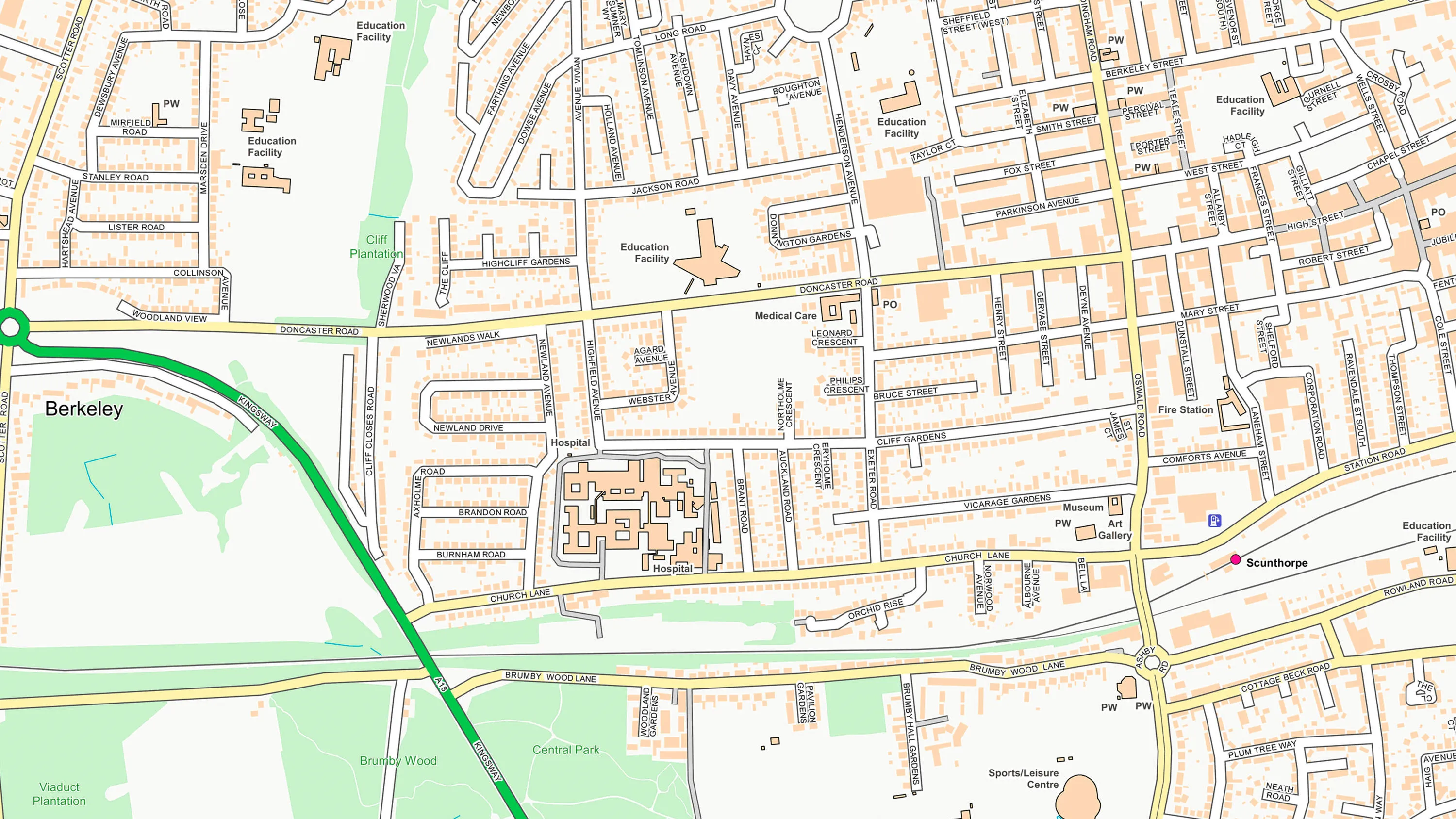
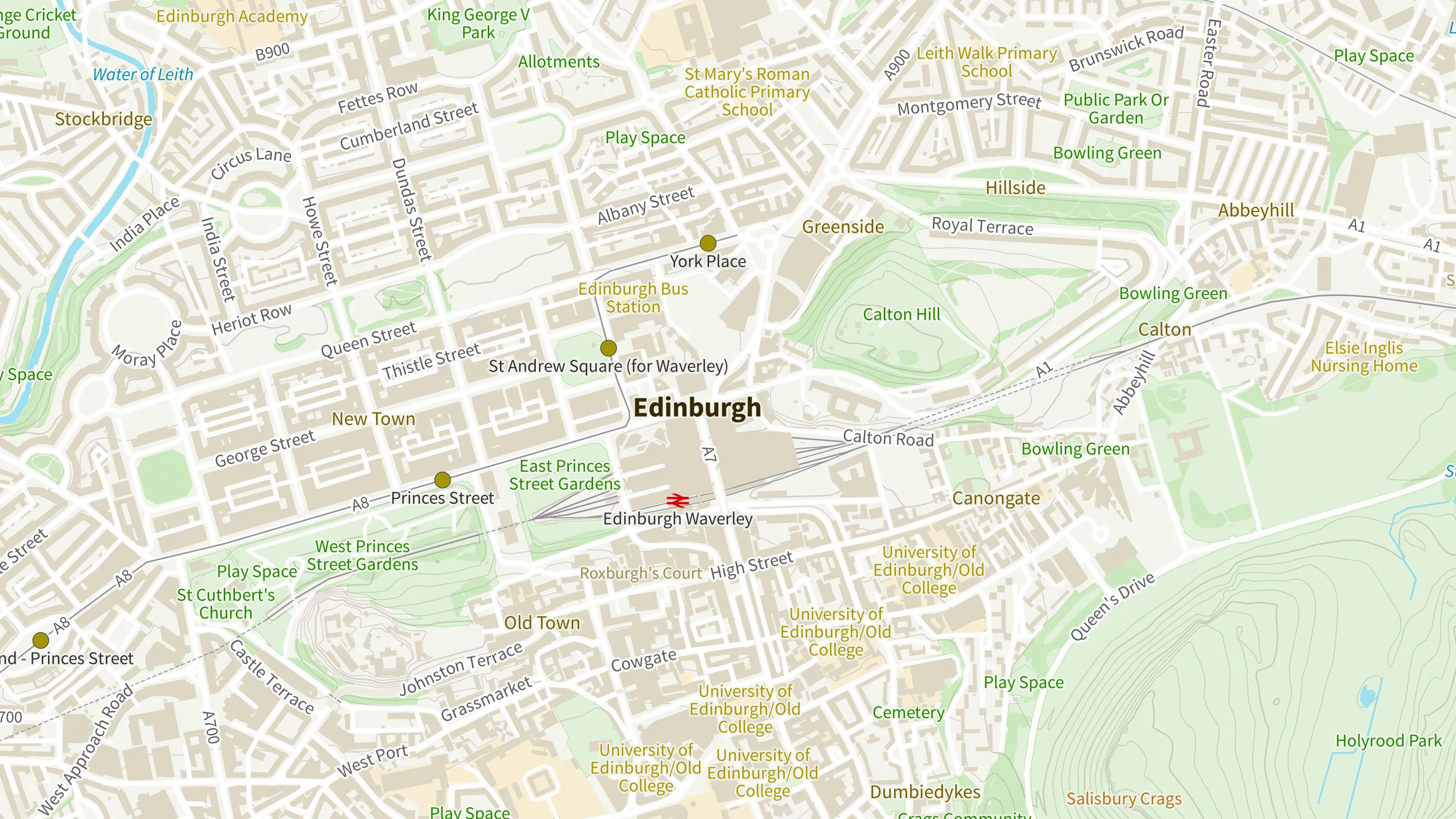
OS OpenMap Local is an open dataset of detailed, street-level mapping of Great Britain.
Ordnance Survey's OS Open Zoomstack is an open vector basemap showing coverage of Great Britain from a national level, right down to street detail.