MiniScale
What MiniScale provides you with
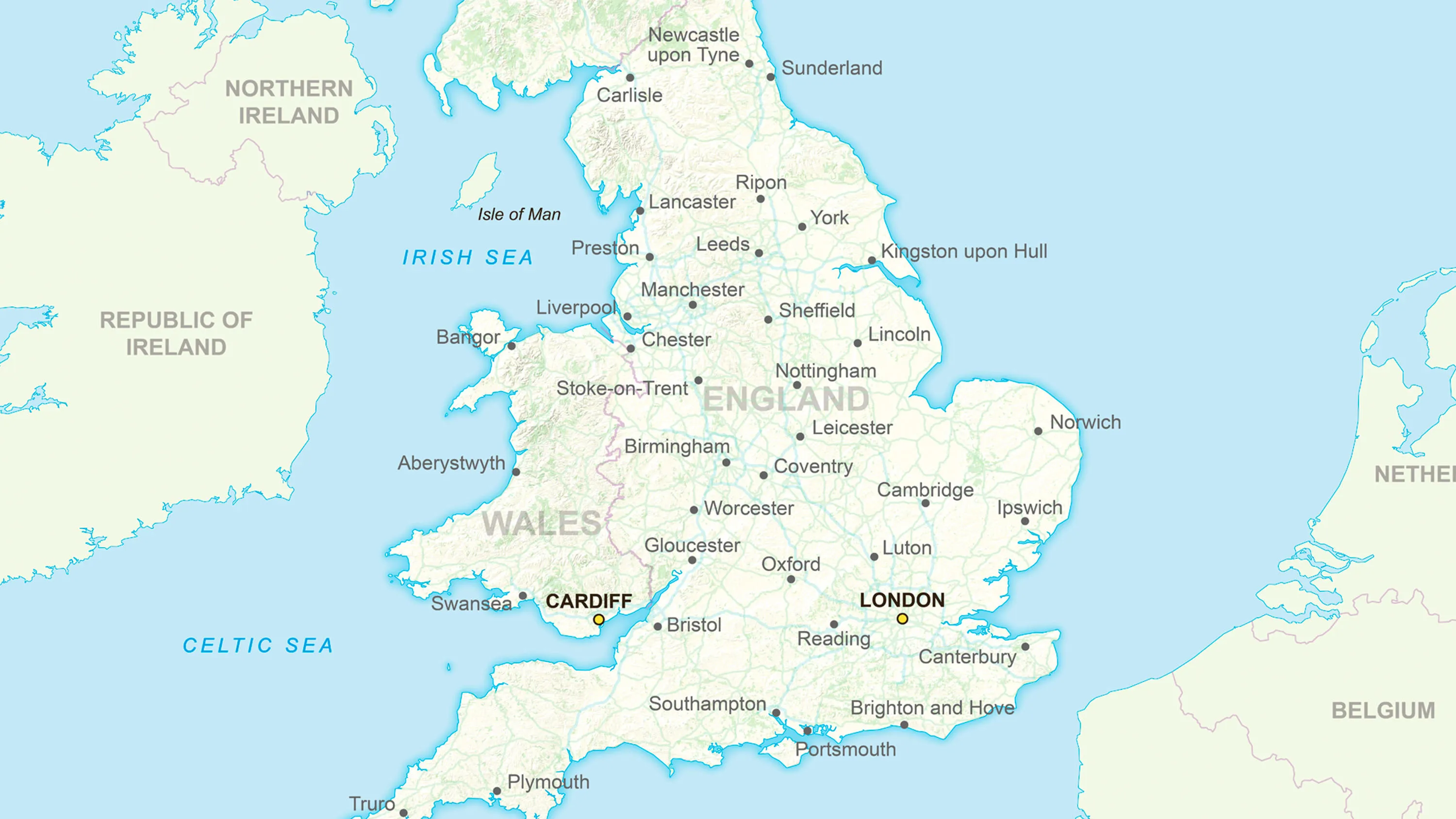
See the big picture
MiniScale is ideal as a fast-loading national map of Great Britain. It's accurate, quality-assured and easy on the eye.
Ideal for desktop publishing
MiniScale maps are great for desktop publishing. You can print them as wall maps or use extracts in sales brochures or project documents.
Two map options
Choose the map that’s right for you. MiniScale offers both one map highlighting roads and cities, and another with terrain to the fore.
Related products
GB Overview Maps
Ordnance Survey's GB Overview Maps is an open overview map of Great Britain.
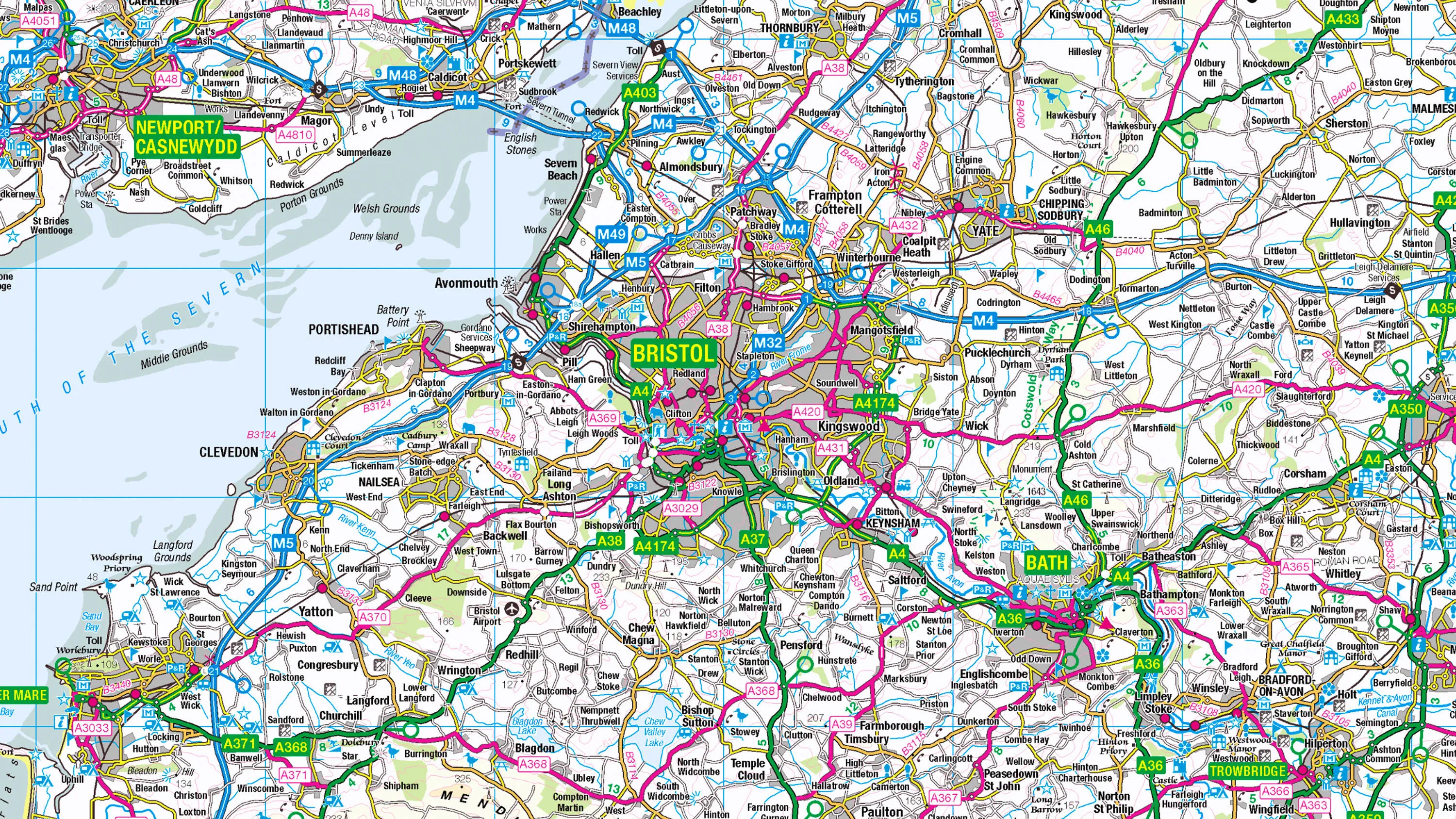
1:250 000 Scale Colour Raster
1:250 000 Scale Colour Raster is an open dataset of the regional view of towns and villages, roads and places of interest.
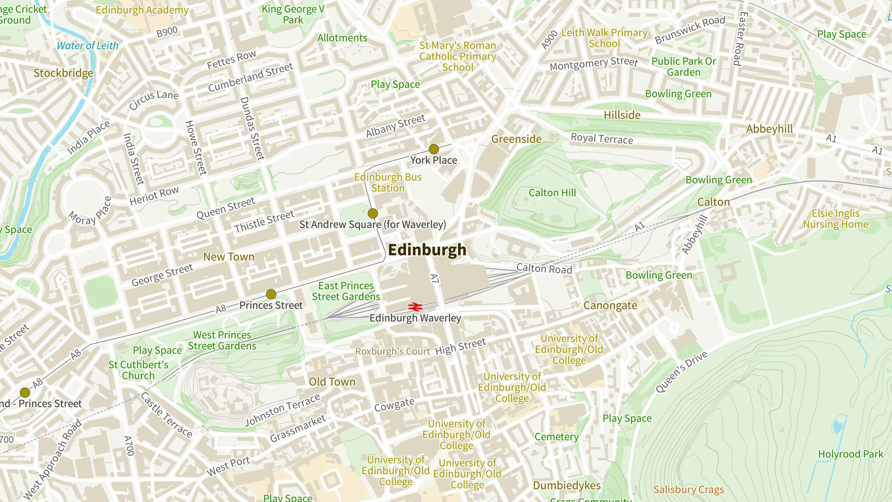
OS Open Zoomstack
Ordnance Survey's OS Open Zoomstack is an open vector basemap showing coverage of Great Britain from a national level, right down to street detail.