Challenge
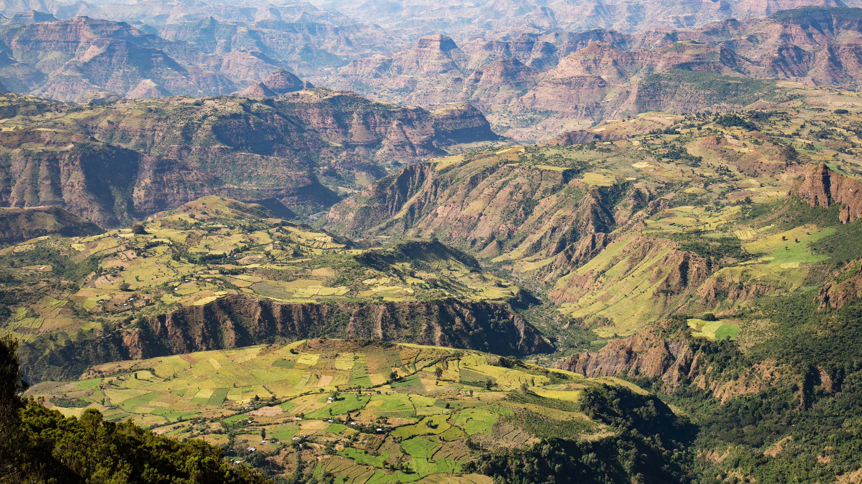
With a population set to double within 25 years, the need to use land effectively in Ethiopia has never been stronger.
However, the project faced a number of challenges:
- Raising awareness of the key environmental, land, health and safety and social governance issues linked to mining operations.
- Illustrating how effective governance can help attract investors and promote economic growth.
- Ensuring reliable information about land boundaries and ownership is available for the people of Ethiopia and investors.
- Surveying frameworks, source data for mapping, technology, policies, standards and skills needed for the mining industries.
- Ethiopia’s population of 74 million is expected to double in less than 25 years.
Solution
Ordnance Survey led an interactive workshop for delegates from a number of African Ministries to explain how the effective use of accurate geospatial information could benefit the mining industry.
The project was funded by Investment Facility for Utilising UK Specialist Expertise (IFUSE), an initiative which helps the UK government share specialist skills and expertise with governments in developing nations.
Result
Delegates learned about the economic and societal benefits of a national location strategy via the interactive workshops, with 99% agreeing it increased their knowledge of the use of geospatial information within the mining industry.
The project raised awareness of how accurate information about land boundaries and ownership and effective governance could attract overseas investment and for the benefit of local people.
Further opportunities were identified for short-term, targeted technical assistance from UK government into African institutions.
"OS experience and expertise helped to illustrate how a national location strategy could benefit the expanding nation."