Challenge
Responding to incidents, crime and missing people is a complex job, requiring situational awareness and understanding of communities.
The Police Service deals with geographic issues, for example when identifying crime hot spots, and deploying resources, the risks need to be identified and mitigated, and residential, retail, and rural areas need to be mapped.
This is why accurate and detailed mapping, provided by Ordnance Survey, can support live deployments and lines of enquiry.
Solution
Cleveland Police is using sophisticated techniques to meet some of the challenges of policing. Visualising and analysing maps and data is helping local police officers understand, and respond to emerging issues around vulnerable groups, demographics and crime trends.
Taking a geography approach also helps with information sharing. By linking data from relevant agencies for individuals or groups in an area can help build a better picture of the issues that need responding to.
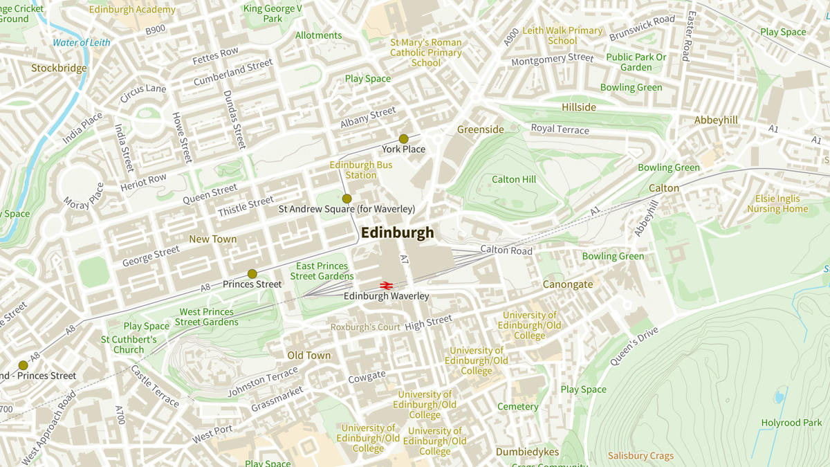
The OS Maps API is one of the easiest and most reliable ways to get up-to-date mapping. Cleveland Police is using the OS Maps API as a primary source of mapping in the Control Room. Other Ordnance Survey mapping and data downloads are also being used to underpin live deployments and investigate historic crimes. OS Zoomstack is providing a local back-up mapping source supplemented with OS Mastermap that is manually updated every six weeks.
Result
The Control Room is putting its real-time data feeds over OS mapping platforms so that resources can be deployed efficiently. With detailed maps, a range of feeds can be integrated including aerial imagery, detailed addressing and much more.
The OS Maps API acts as a direct automatic update to OS data, so Cleveland Police are always using the most up to date mapping information, removing the need for frequent manual downloading and processing of location data.
"Using OS data and APIs makes it easier and quicker for Cleveland Police to deliver detailed mapping seamlessly to frontline officers who rely on up-to-date information."