New APIs to transform the way the public sector access and innovate with location data
Free at the point of use, the APIs are available via the OS Data Hub and provide a new way to access the most up-to-date OS data. The APIs will make it quicker and easier for users to work with OS data by connecting directly to a range of datasets as well as supplying the latest product updates on demand.
The APIs will help save time and resources allowing users to focus on using the accurate geospatial data to underpin decisions, gain insight, support public services and drive innovation. One significant benefit is a reduction in data management overheads removing the need to spend time downloading and managing data.
Other benefits of using APIs:
- APIs provide new ways of working with OS data, for example enabling engaging web maps and data visualisations.
- Ability to use the same data across multiple applications to get a consistent view.
- Plan and automate data downloads. The APIs are not replacing any existing products and functionality. Users can continue to download the data products via the OS Downloads API.
Chris Chambers, Head of the Public Sector Geospatial Agreement at OS, said: "Over the last 10 months we have seen location data play an important role in supporting the public sector’s response to Covid-19. The pandemic has highlighted how vital it is that high quality geospatial data is easily and quickly accessible to all users.
“The APIs let users access the data they need when they need it. They deliver quick and easy access to detailed OS data and have been designed to save users' valuable time. By using the APIs it means that OS is handling the complexities of spatial data management, allowing users to focus on creating even greater value from the data."
The launch of the APIs to the PSGA members follows a successful launch to developers and businesses in July 2020. In the first three months 2,355 users registered for the OS Data Hub, with 1,845 new to OS. In the same period API users carried out over 40 million transactions, with a 100% month-on-month increase in transactions.
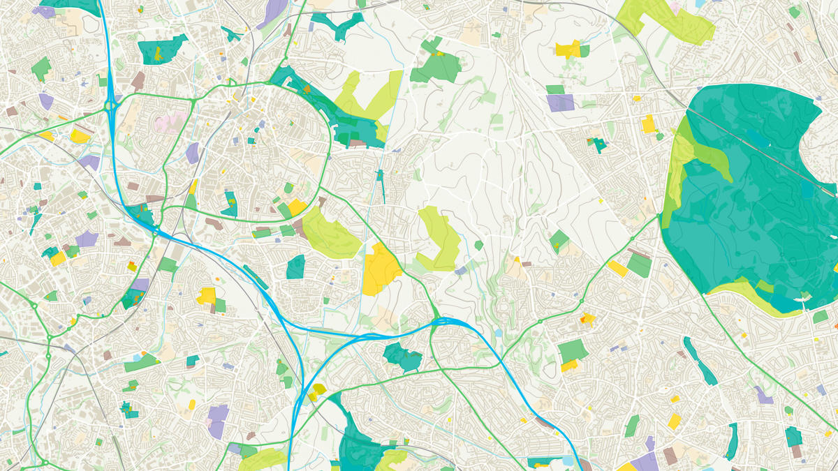
The APIs provide access to a range of OS datasets including OS MasterMap, road network data, addressing information, 1:25 000 leisure mapping, as well as unlimited free access to OS OpenData products.
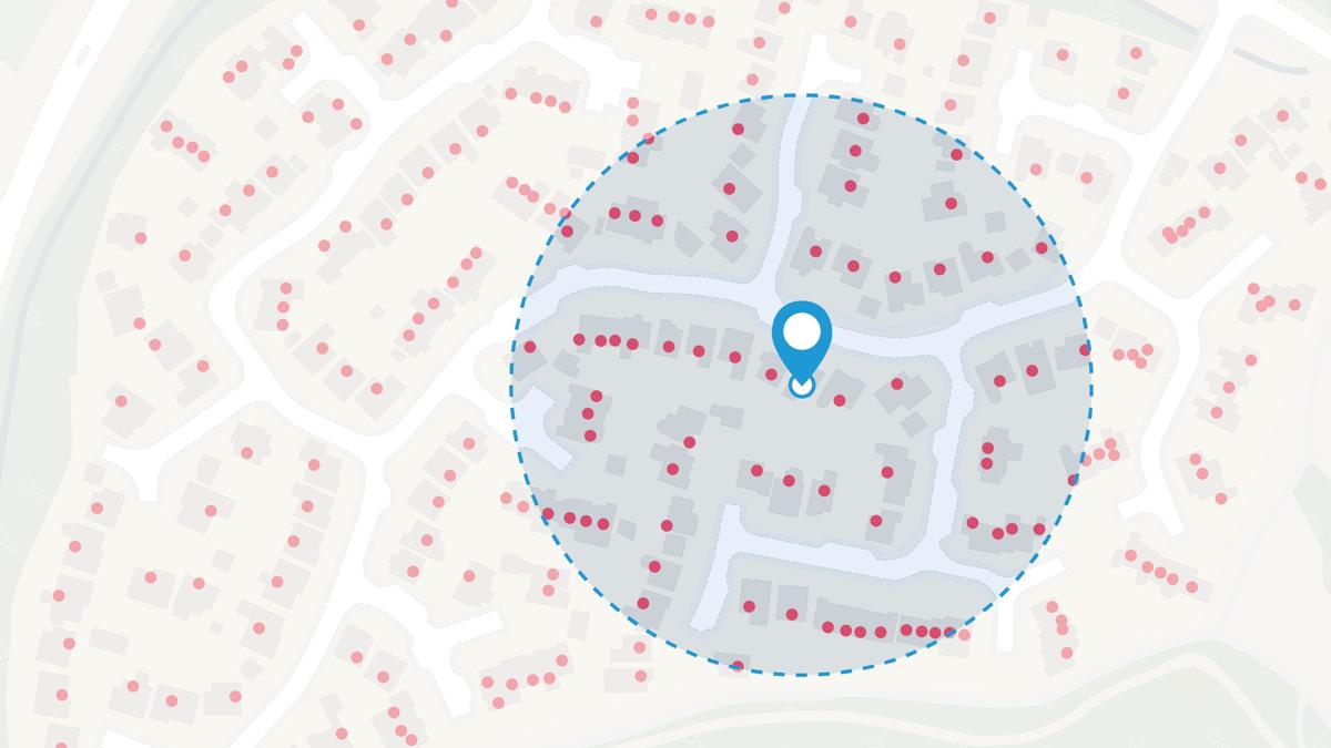
Chris added: “The OS Places API, for example, is a great tool to help users improve the accuracy of their address searches. It’s ideal for use in geocoding, automated form-filling, and local area investigations. In addition, the APIs allow multiple geospatial data sets to be explored and linked together.
"The APIs provide a new way for people to access and work with OS data, and we are looking forward to working closely with our customers to ensure that OS data continues to support them."
The APIs available via the OS Data Hub include:
- OS Maps API– allows easy integrations of OS mapping into apps and websites, including OS MasterMap Topography Layer and 1:25 000 Scale Colour Raster.
- OS Vector Tile API – enables designers and developers to create slick, quick vector maps that are fully customisable. The API gives users the ability to tailor the style to make the perfect map, specific to customer needs. The vector tile service allows users to tilt the map and display extruded features in three dimensions.
- OS Features API –provides direct access to OS MasterMap, taking full advantage of precise geometries and rich attributes to generate new insight. There are many data layers available via the API which users can filter and select based on location or attribution, such as buildings, roads and greenspaces.
- OS Downloads API –allows users to download OS OpenData products direct to their machines.
- OS Names API– an accurate location look-up service including place names, postcodes, roads and much more.
- OS Linked Identifiers API – provides access to the valuable relationships between properties, streets and OS MasterMap features.
- OS Places API – a secure, scalable and resilient address look-up web service. OS Places API lets you search the UK's most comprehensive online address database.
The Geospatial Commission’s Deputy Director, Jamie Clark, said: “Better location data and improved access is crucial to boost UK economic recovery and growth. The innovations to data access that Ordnance Survey is driving through the Public Sector Geospatial Agreement, will provide for better policy and operational outcomes across a range of sectors and services, from housing, transport and retail to emergency response, public health and environmental management."
Explore the OS Data Hub
With over 20,000 updates to our databases every day, you have access to a comprehensive and up-to-date set of authoritative data through the OS Data Hub

Our highly accurate geospatial data and printed maps help individuals, governments and companies to understand the world, both in Britain and overseas.
Products and solutions featured in this news article
OS Maps API
Accurate, up-to-date maps that offer the most convenient way to add detailed OS data to your application.
OS Downloads API
The OS Downloads API lets you script and automate your downloads of OS OpenData and OS Premium data. Save valuable time by automating the process.
OS Names API
A geographic directory with basic information on identifiable places. Find the closest location to a given point through the API.
OS Vector Tile API
A vector tile service providing detailed Ordnance Survey data as a customisable basemap.
OS Linked Identifiers API
Access the relationships between properties, streets and OS MasterMap identifiers for free.
OS Features API
An API to filter Ordnance Survey data for buildings, roads, rivers, hospitals, playing fields, greenspaces.
OS Places API
Perform accurate geocoding and reverse geocoding with our secure, scalable, and resilient address API.