OS data products
Search below to find the best geospatial data product for you
- Page 1
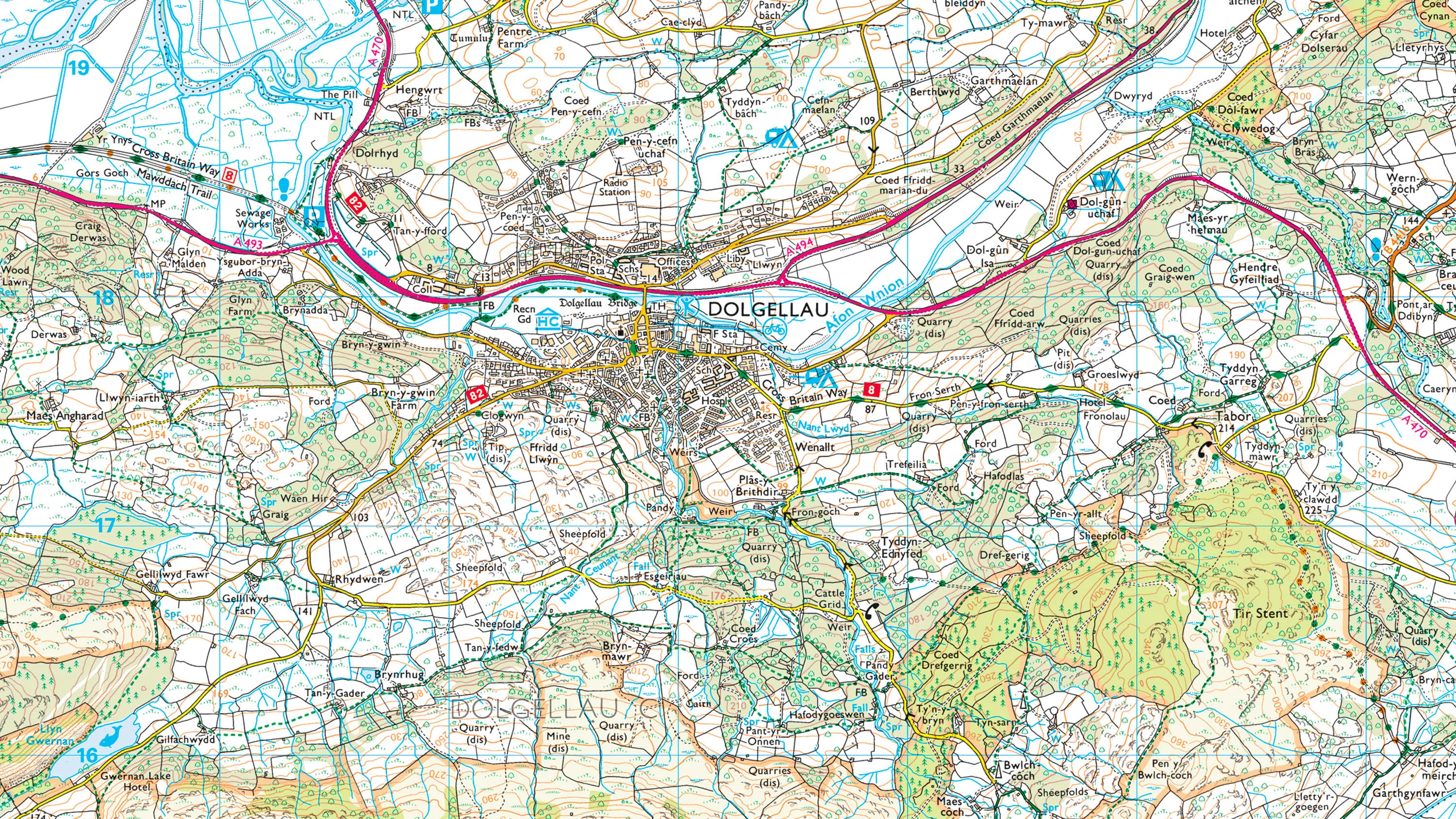
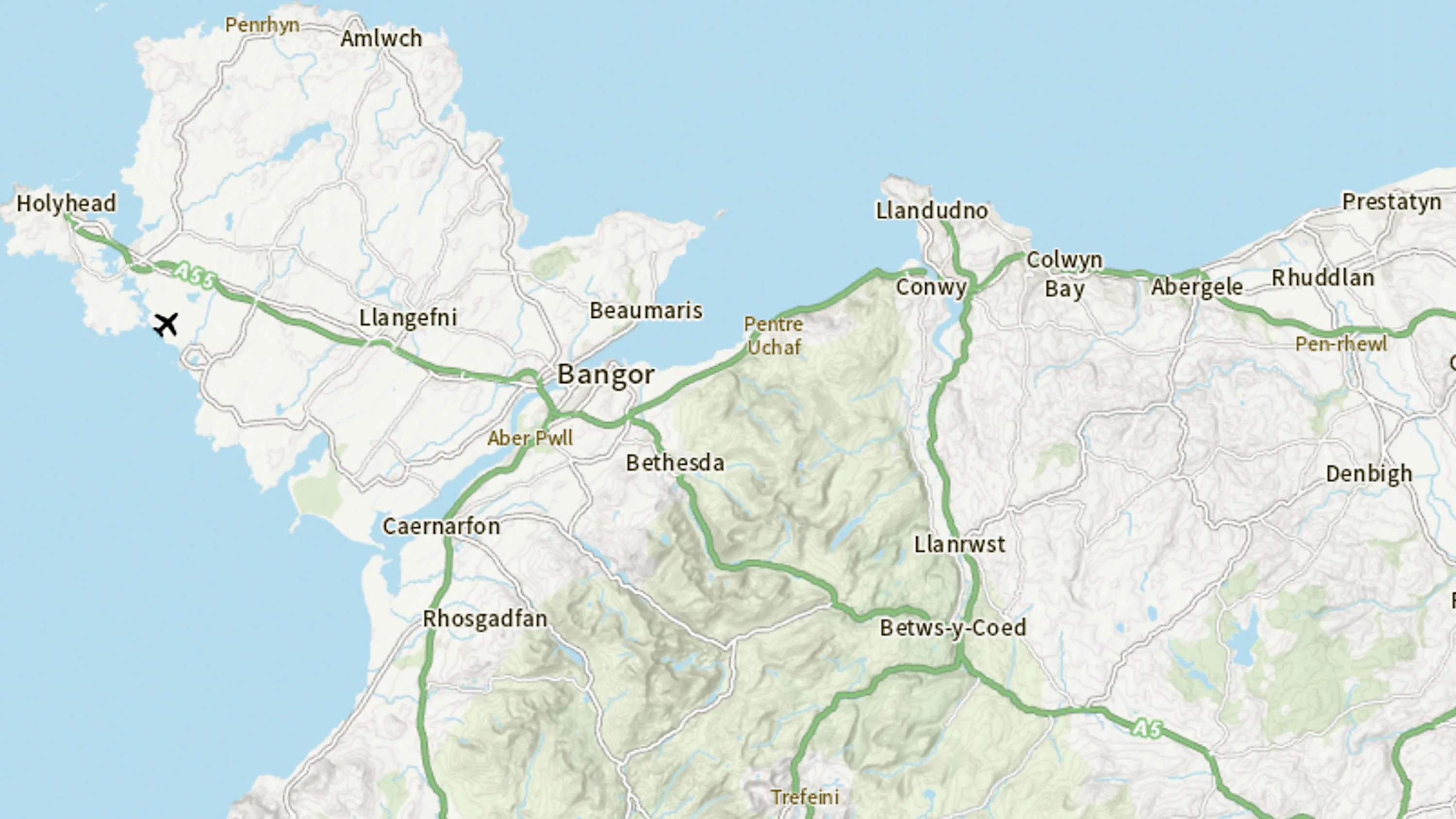
1:25 000 Scale Colour Raster is the digital alternative to Ordnance Survey's OS Explorer paper map series for Great Britain.
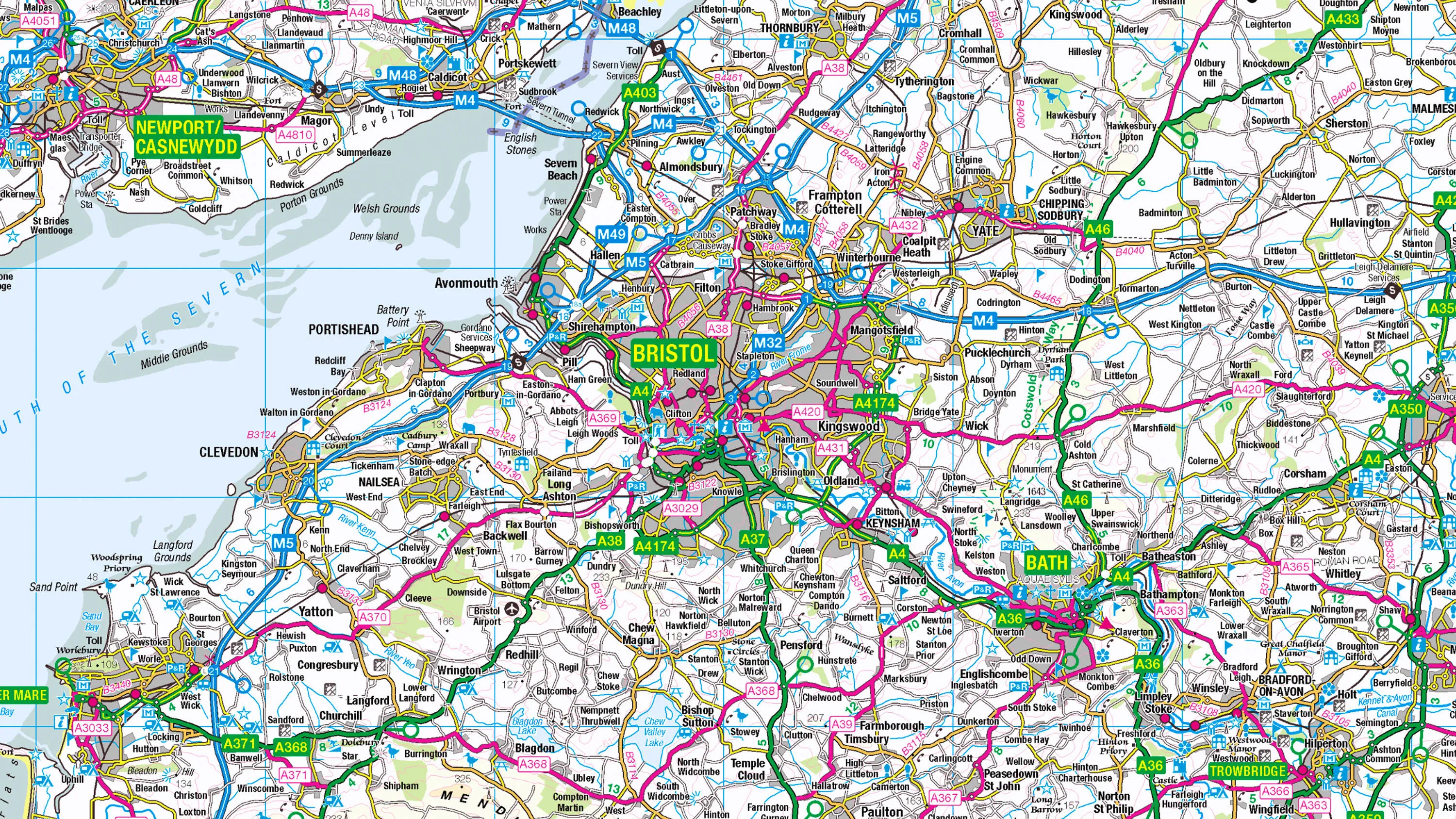
1:250 000 Scale Colour Raster is an open dataset of the regional view of towns and villages, roads and places of interest.
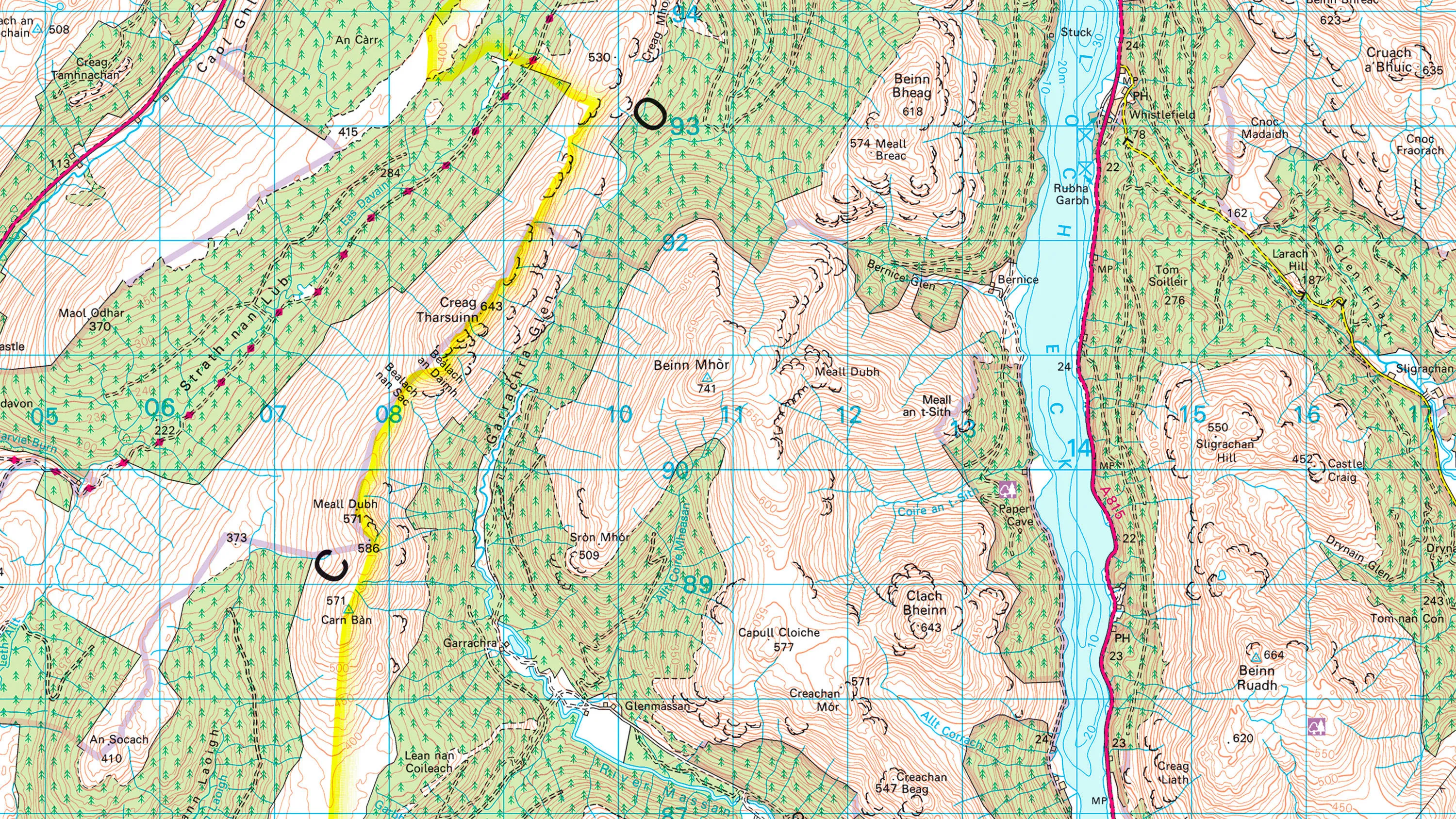
1:50 000 Scale Colour Raster is the digital alternative to Ordnance Survey's OS Landranger paper map series for Great Britain.

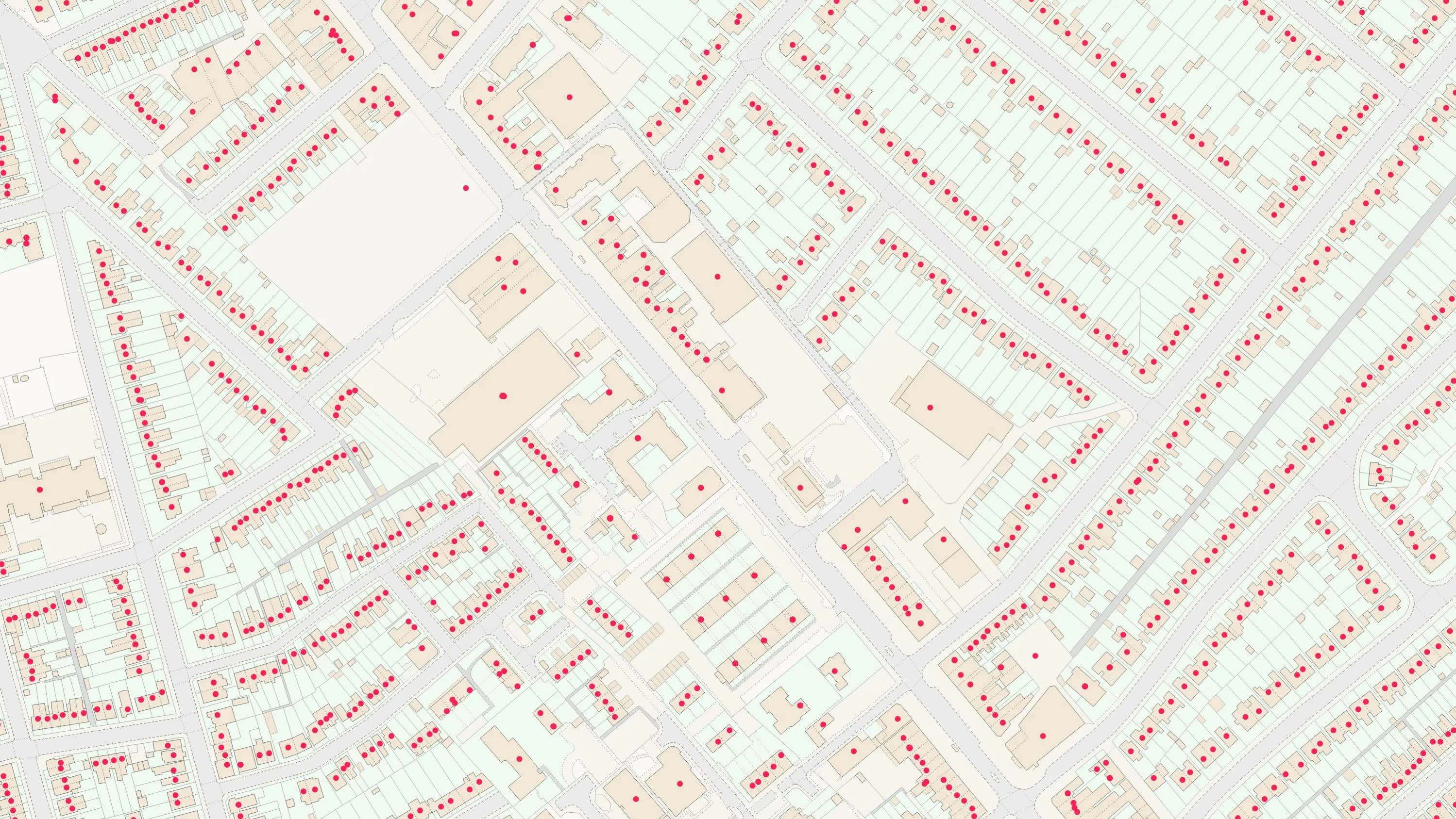
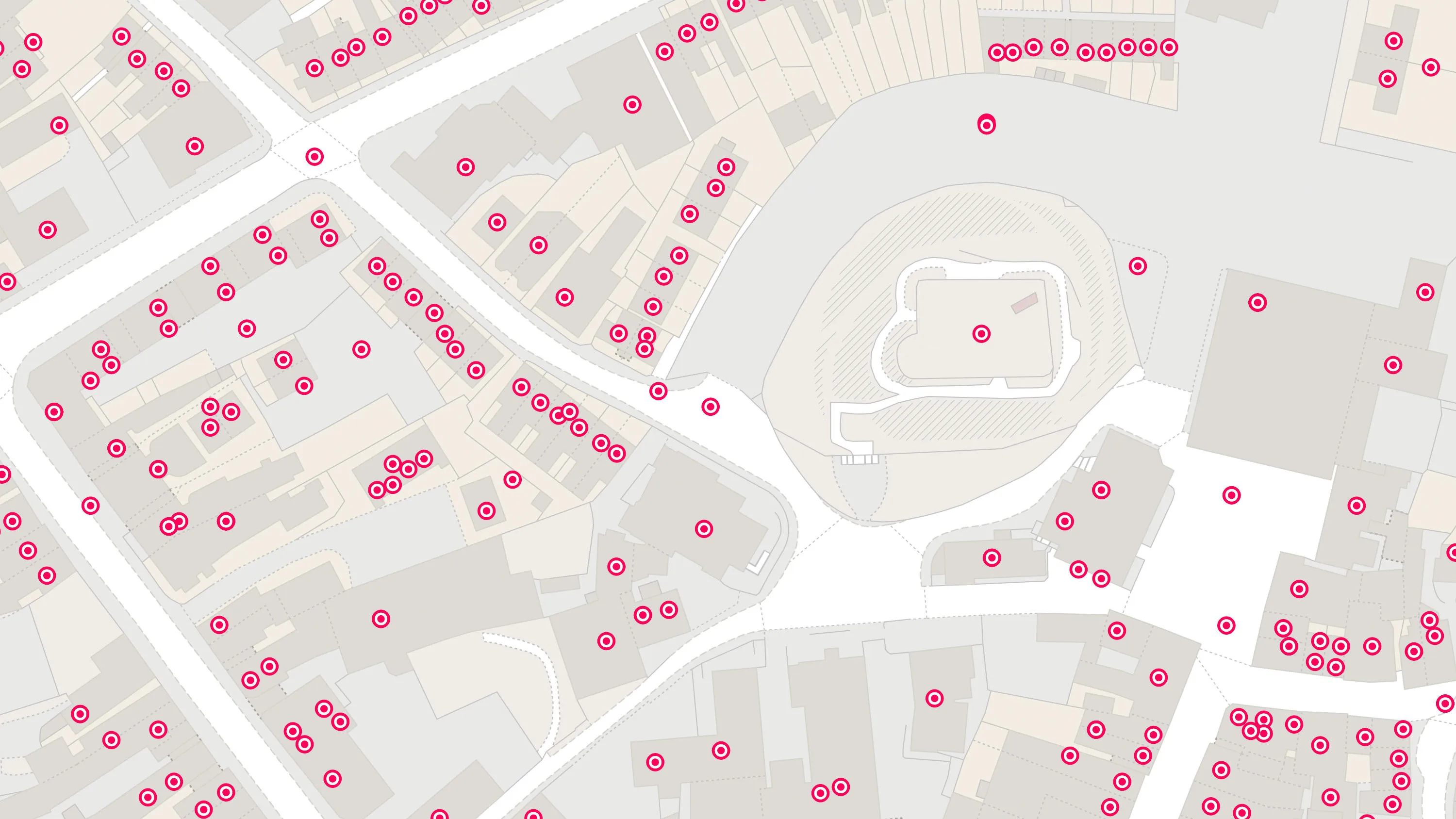
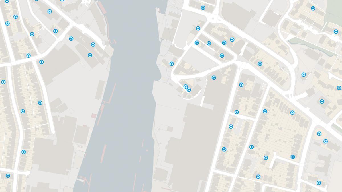
AddressBase matches 29 million Royal Mail postal address to unique property reference numbers, bringing a new dimension to the matched records.
AddressBase Core is a simple, accessible addressing data product giving plug and play access to complete, accurate address data.

An addressing gazetteer offering full lifecycle information of a property for Northern Ireland, Isle of Man and the Channel Islands.
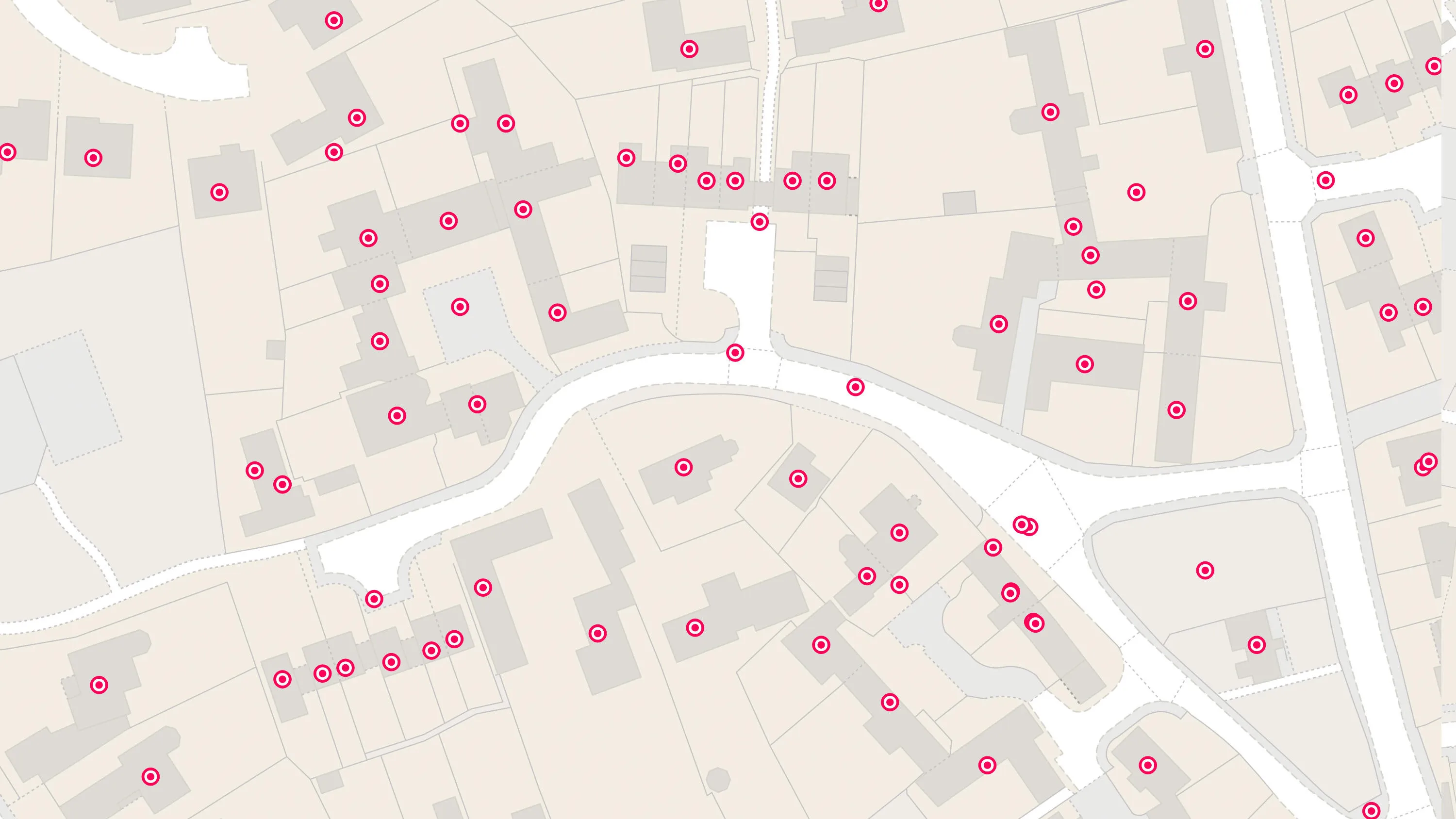
A dataset containing UPRN, PAF UDPRN, business/residential classification, local authority current addresses and the OS MasterMap TOID.
An addressing gazetteer offering full lifecycle information of a property that can be used within geographical information systems & database systems.
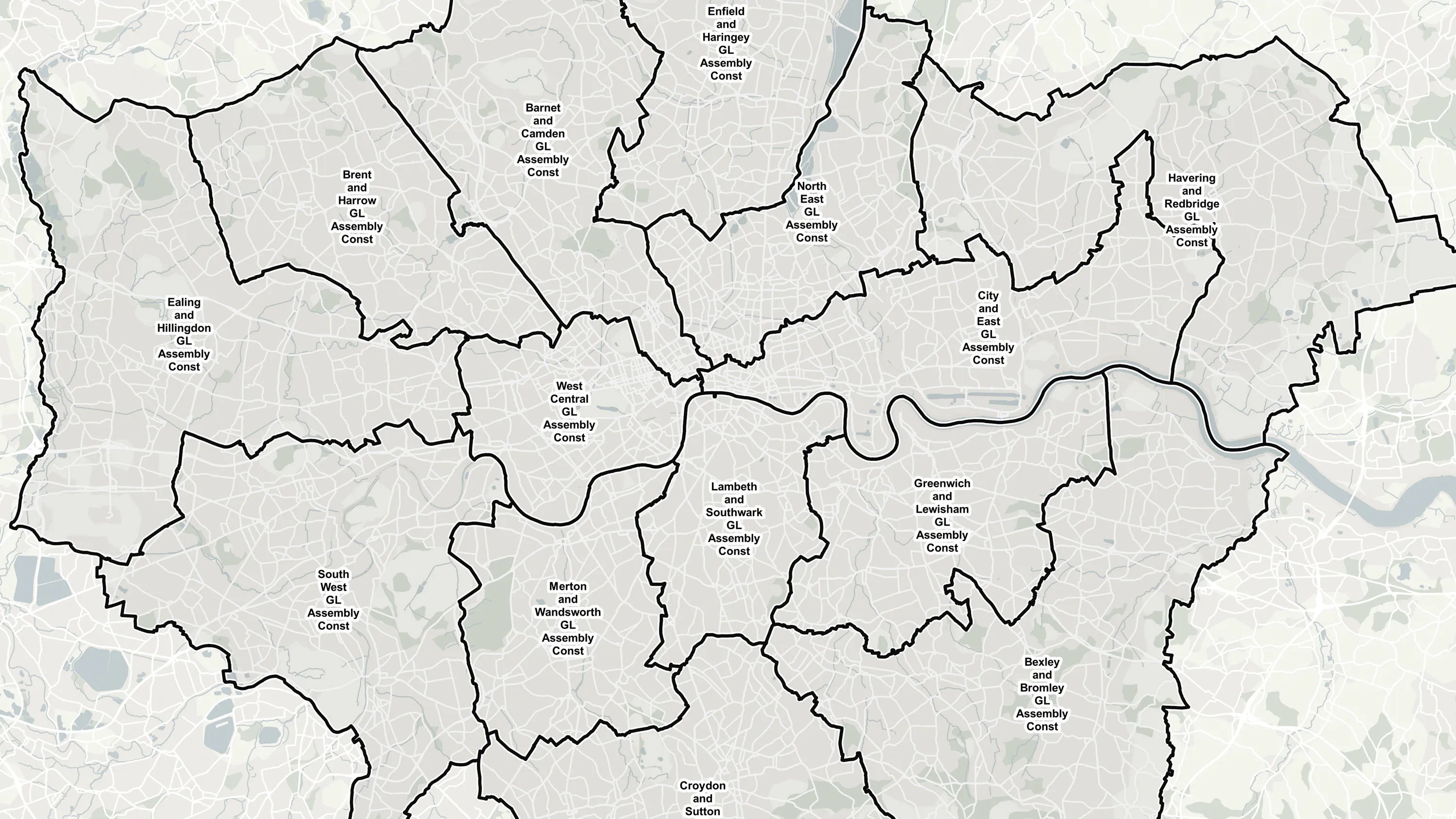
Ordnance Survey's Boundary-Line™ is an open dataset of every administrative boundary in Great Britain.
Code-Point® is a postcode locator with postcode units in Great Britain and Northern Ireland.
Ordnance Survey's Code-Point® Open is an open dataset of all the current postcode units in Great Britain.
Code-Point® with Polygons shows the notional shape of every postcode unit in Great Britain including buildings with multiple postcodes.
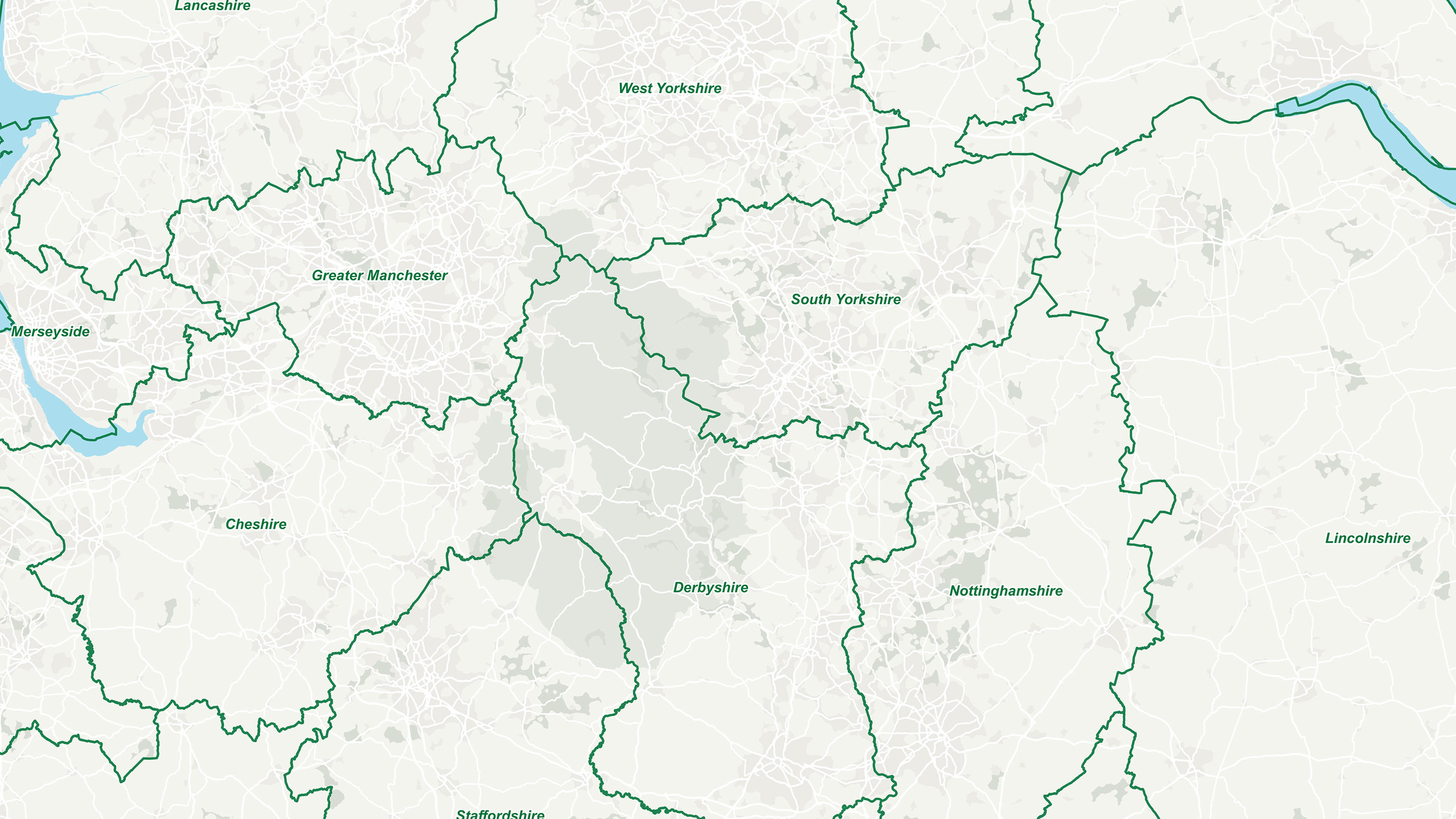
GB Counties - Past and Present displays historic and ceremonial counties in Great Britain.
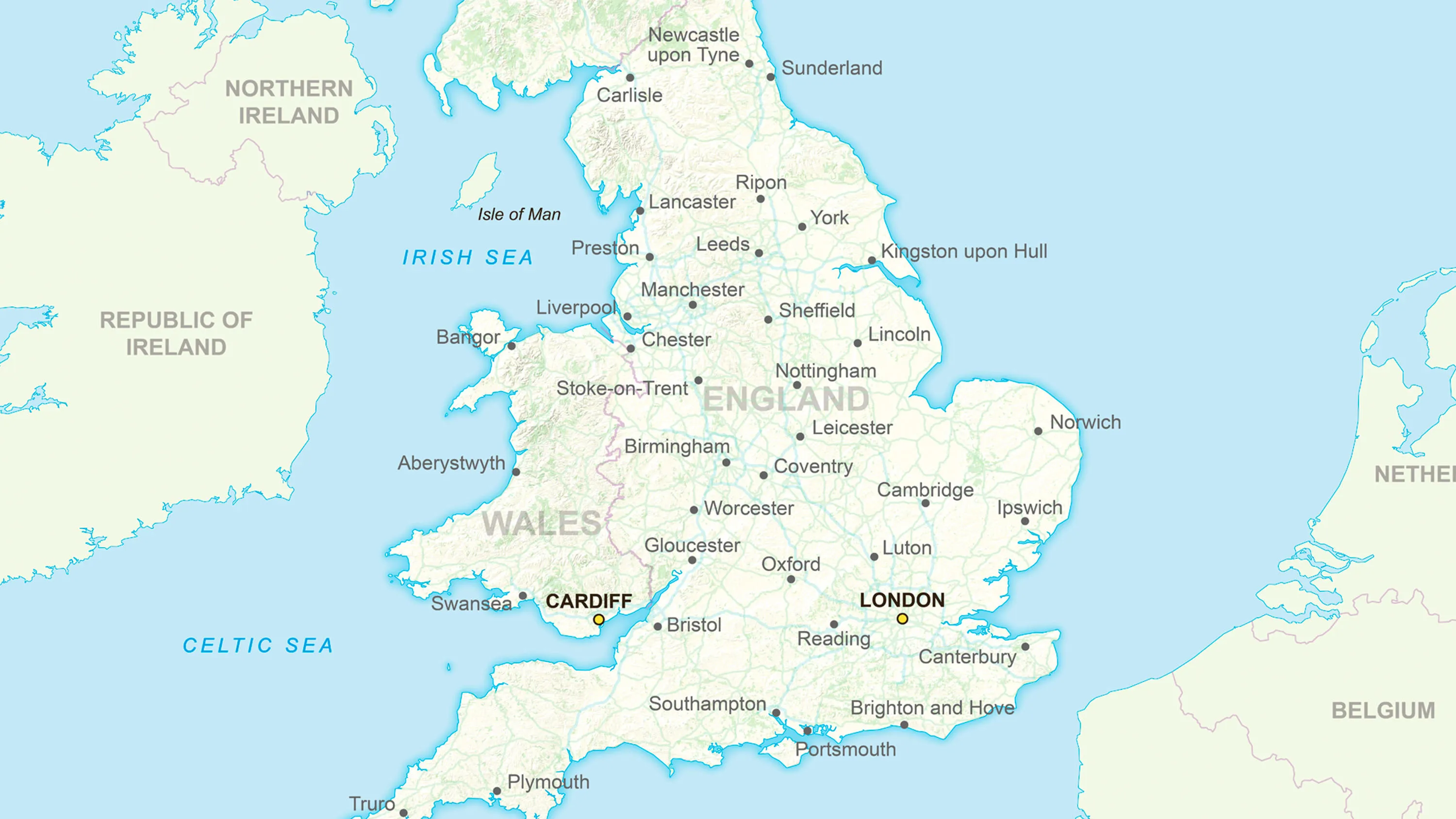
Ordnance Survey's GB Overview Maps is an open overview map of Great Britain.
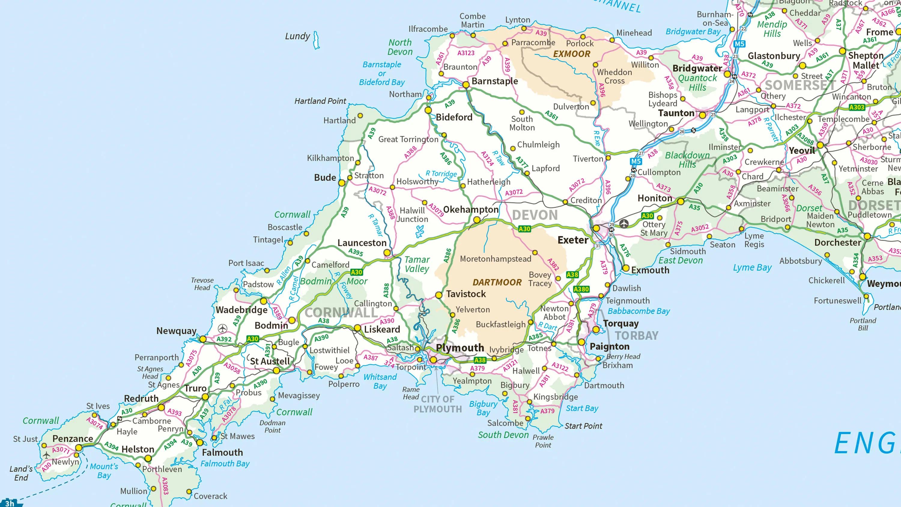
Ordnance Survey's MiniScale® is an open national backdrop map of Great Britain.
The OS Downloads API lets you script and automate your downloads of OS OpenData and OS Premium data. Save valuable time by automating the process.
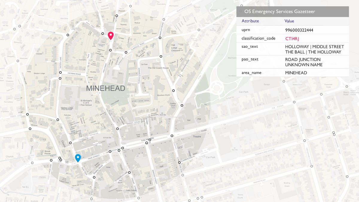
The OS Emergency Services Gazetteer (ESG) provides a national, consistent, and maintained view of the locations and names of places and objects.

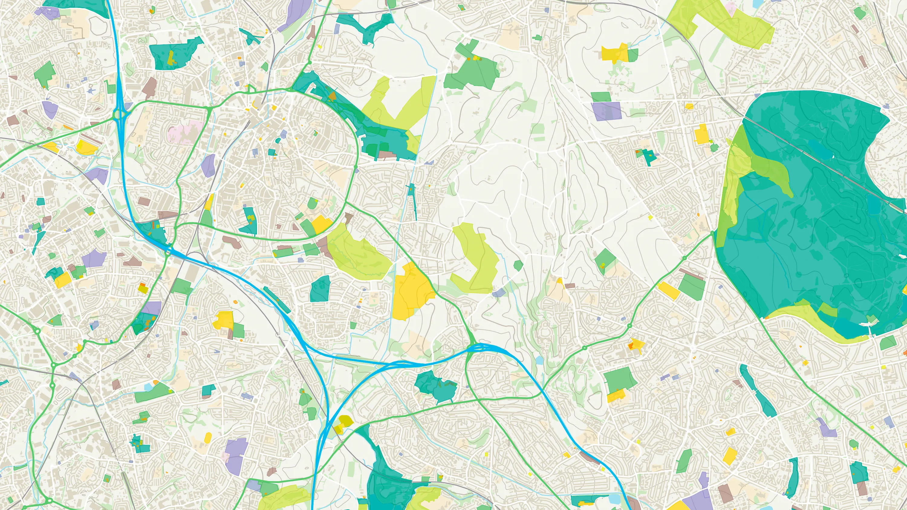
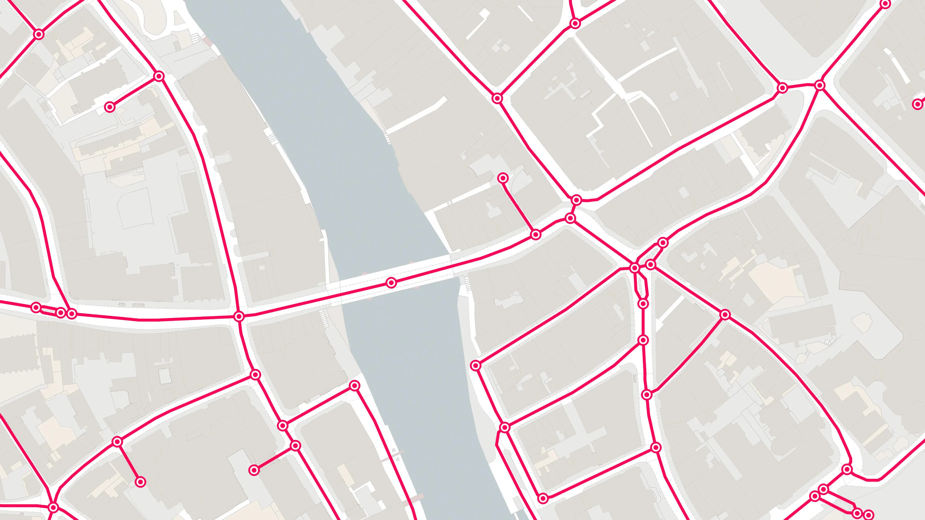
An API to filter Ordnance Survey data for buildings, roads, rivers, hospitals, playing fields, greenspaces.
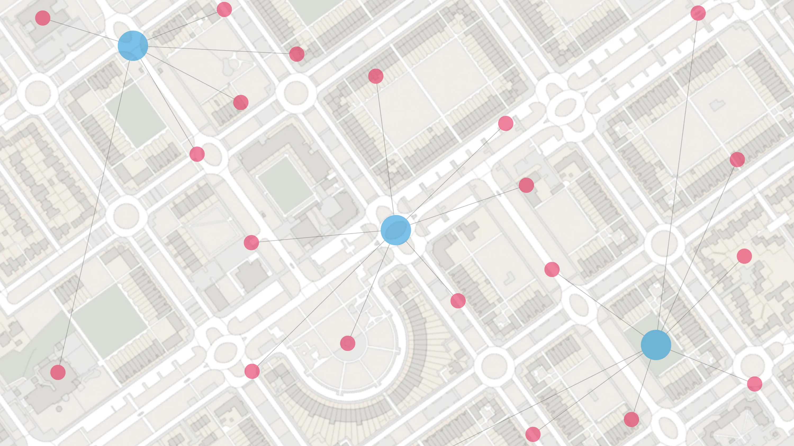
Access the relationships between properties, streets and OS MasterMap identifiers for free.
Accurate, up-to-date maps that offer the most convenient way to add detailed OS data to your application.
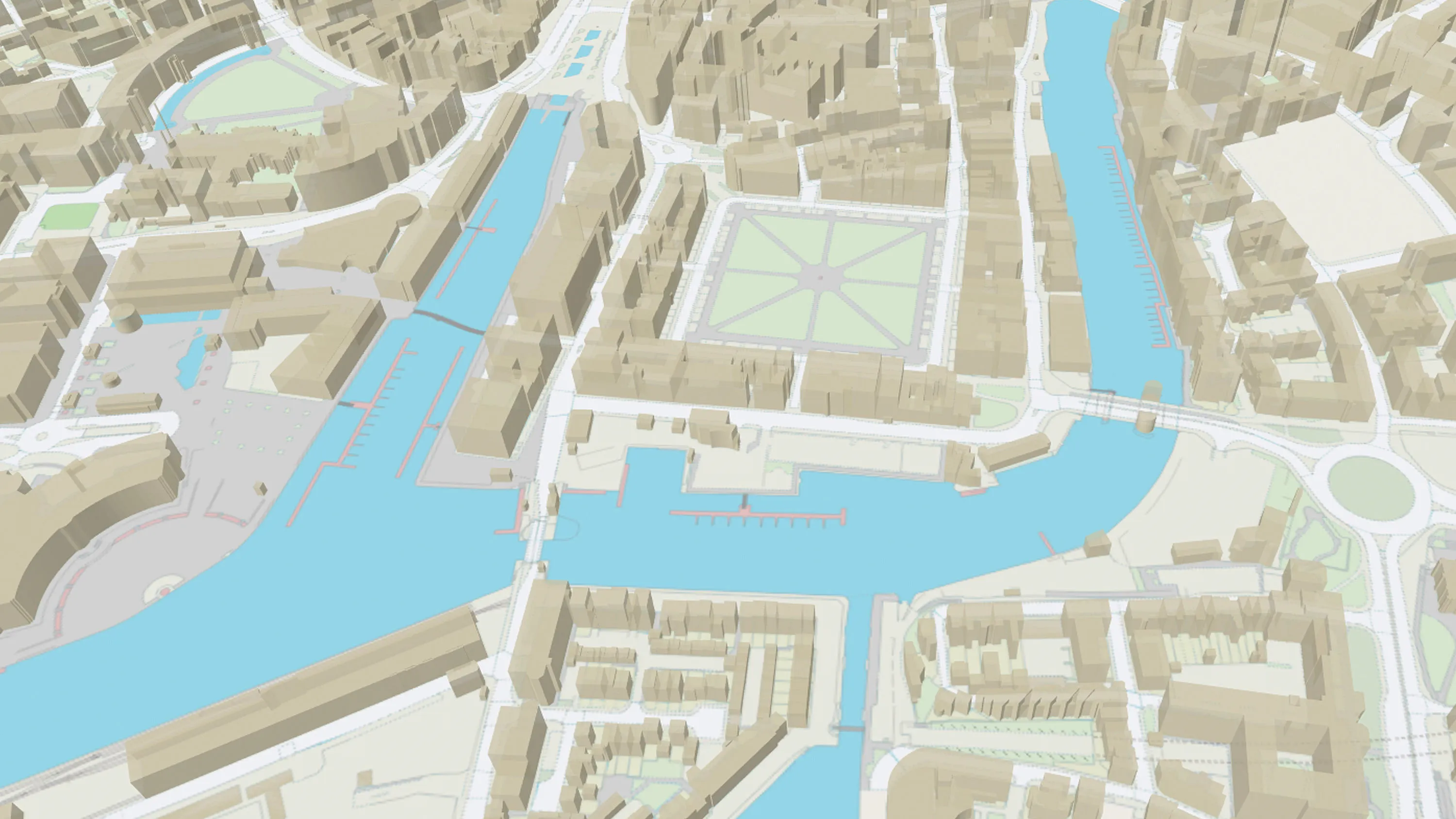
OS MasterMap Topography Layer is a dataset showing building heights for Great Britain.
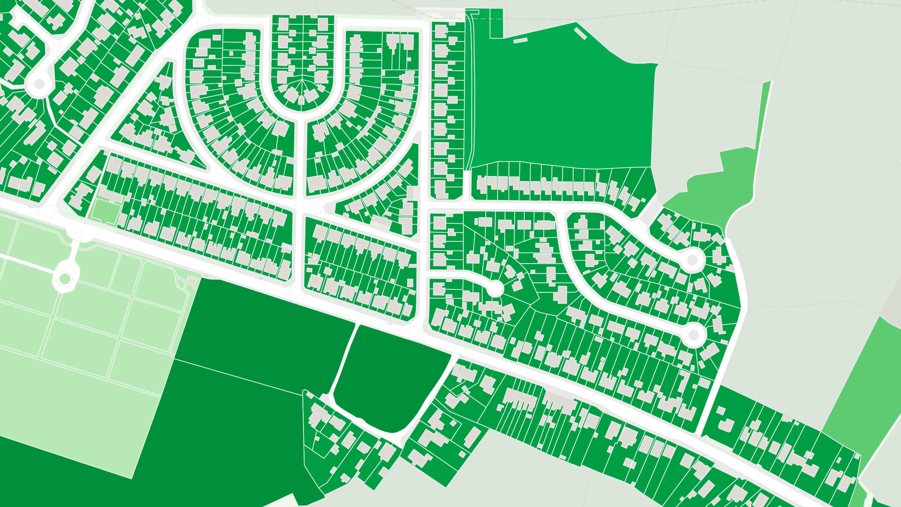
OS MasterMap® Greenspace Layer is a detailed dataset of the greenspaces within an urban area for Great Britain.
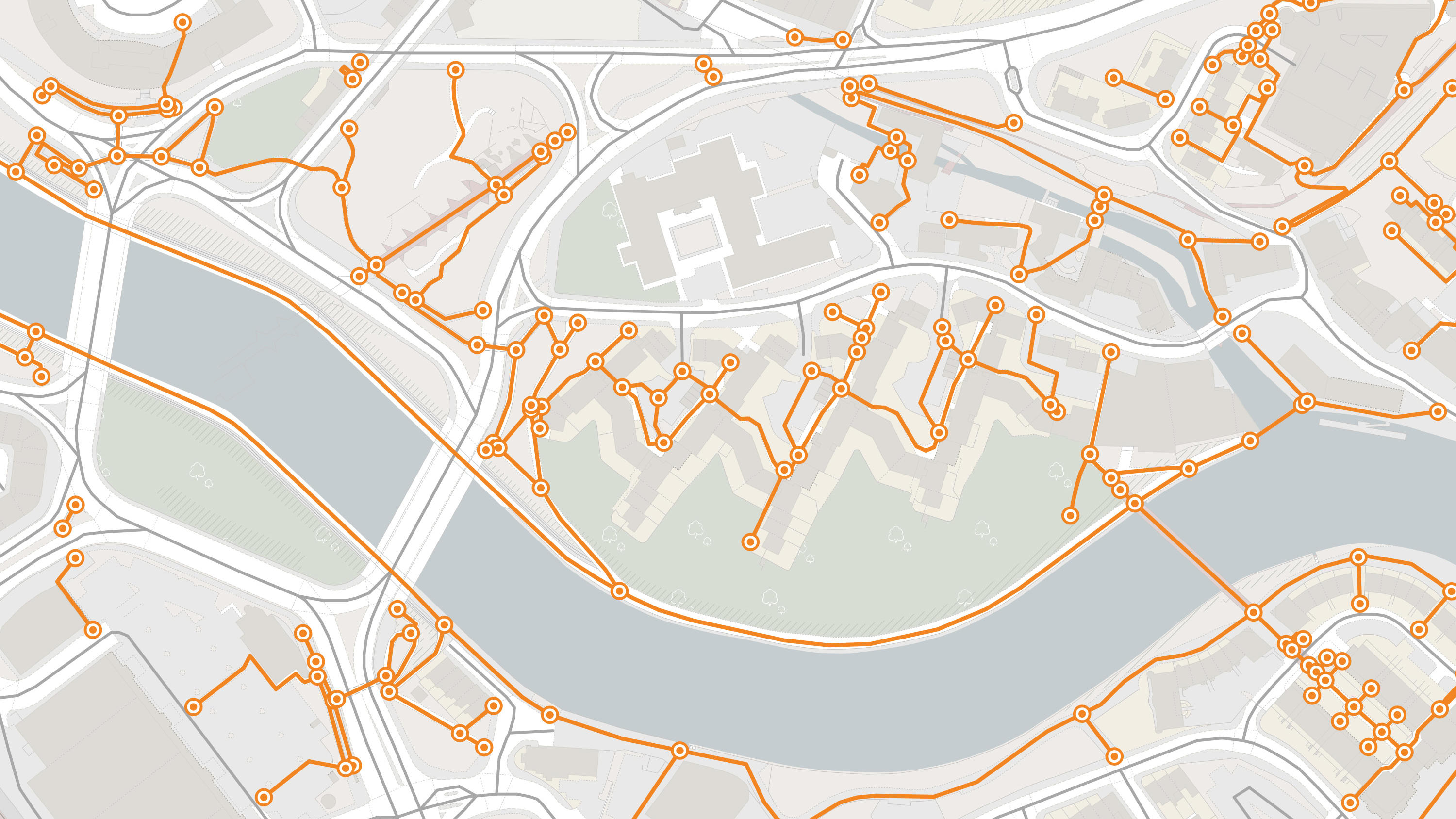
A path network dataset for Great Britain showing who is responsible for all the footpaths through towns and cities.
A navigable road network dataset with detailed information about planned roads and roads under construction for Great Britain.