OS data products
Search below to find the best geospatial data product for you
- Page 1
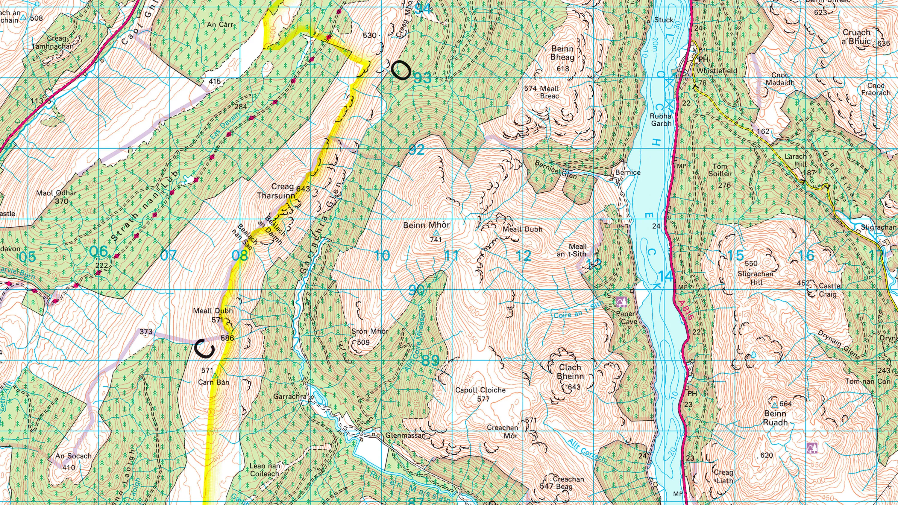
1:50 000 Scale Colour Raster is the digital alternative to Ordnance Survey's OS Landranger paper map series for Great Britain.
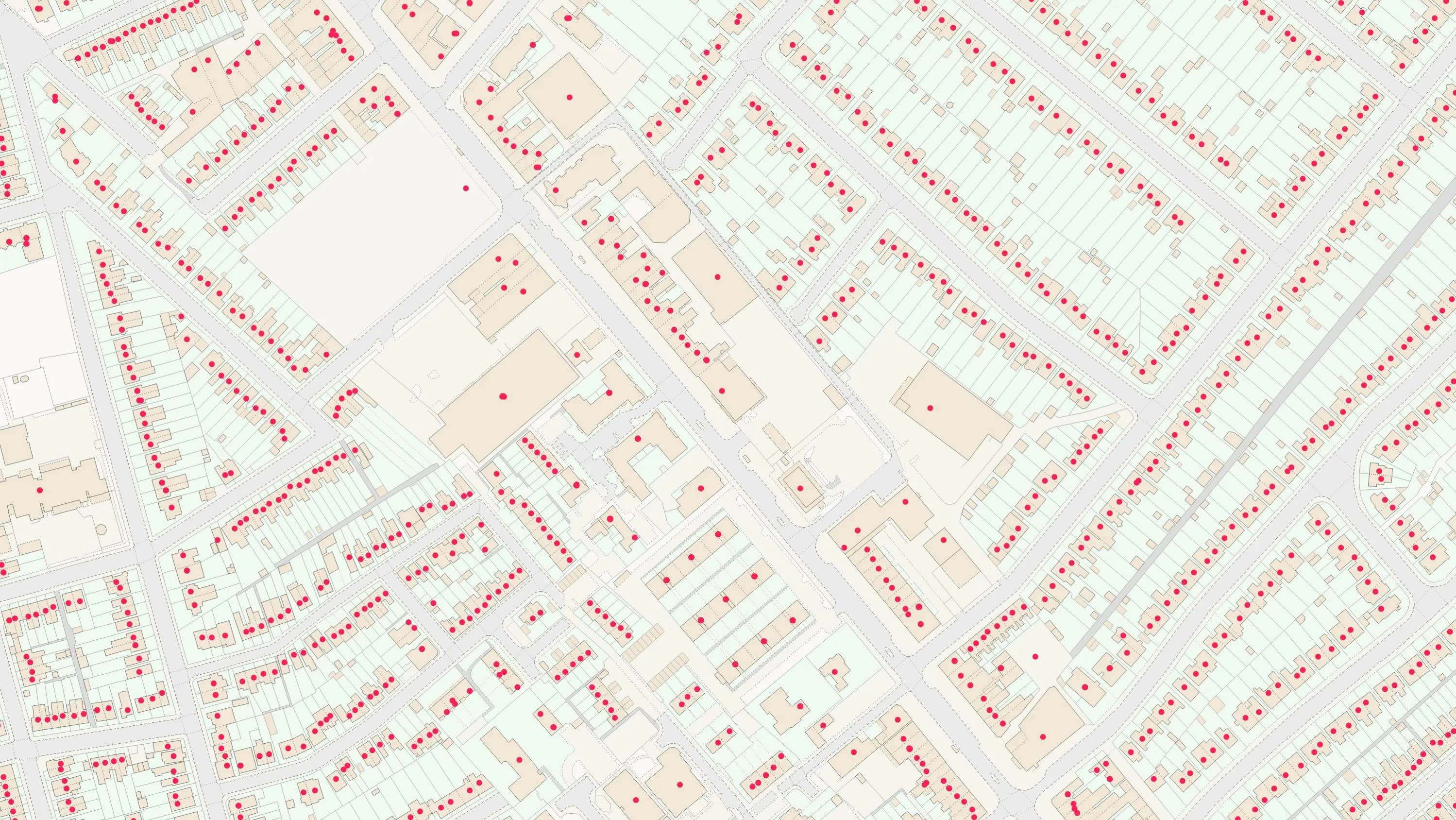
AddressBase Core is a simple, accessible addressing data product giving plug and play access to complete, accurate address data.
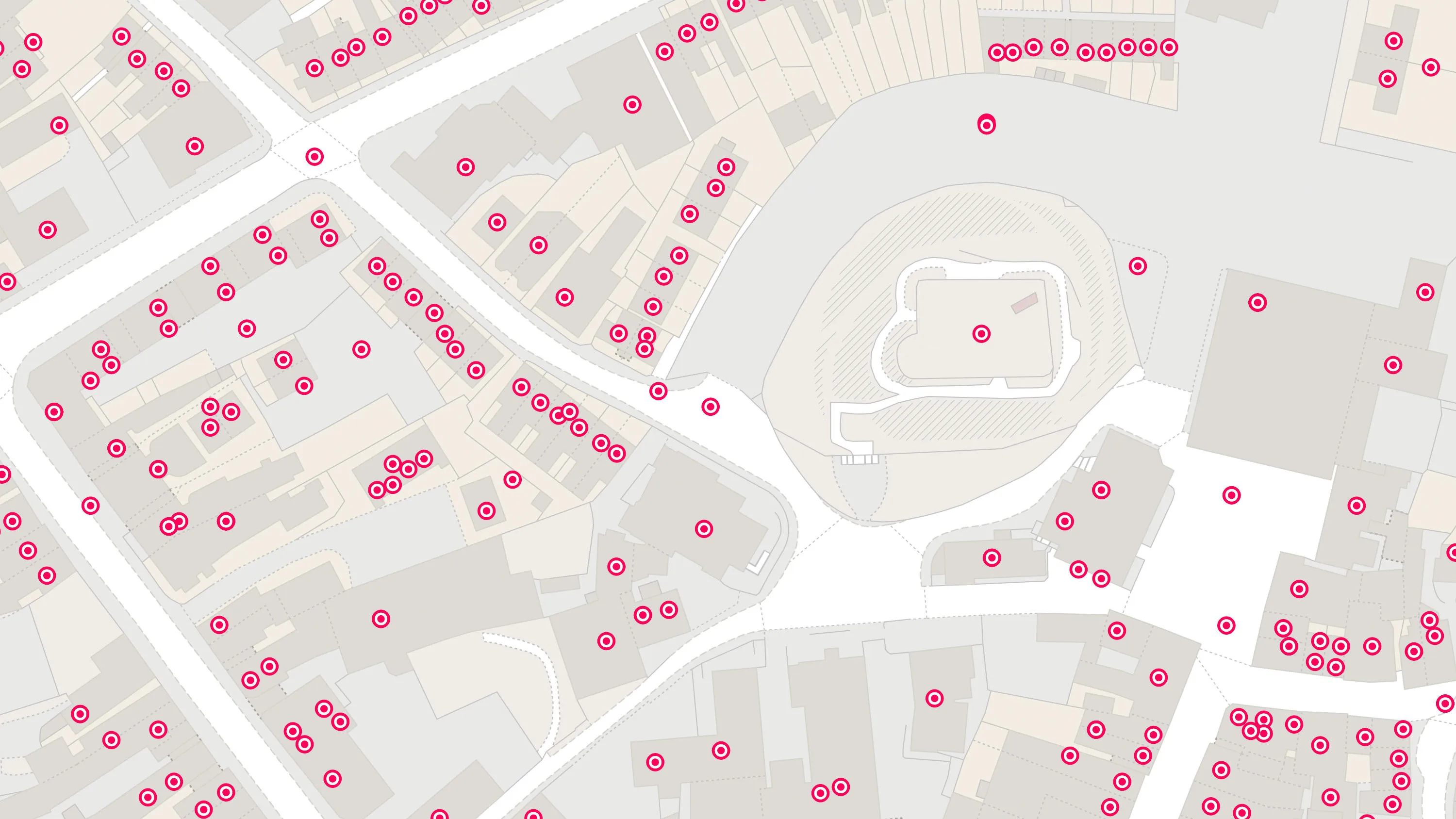
An addressing gazetteer offering full lifecycle information of a property that can be used within geographical information systems & database systems.
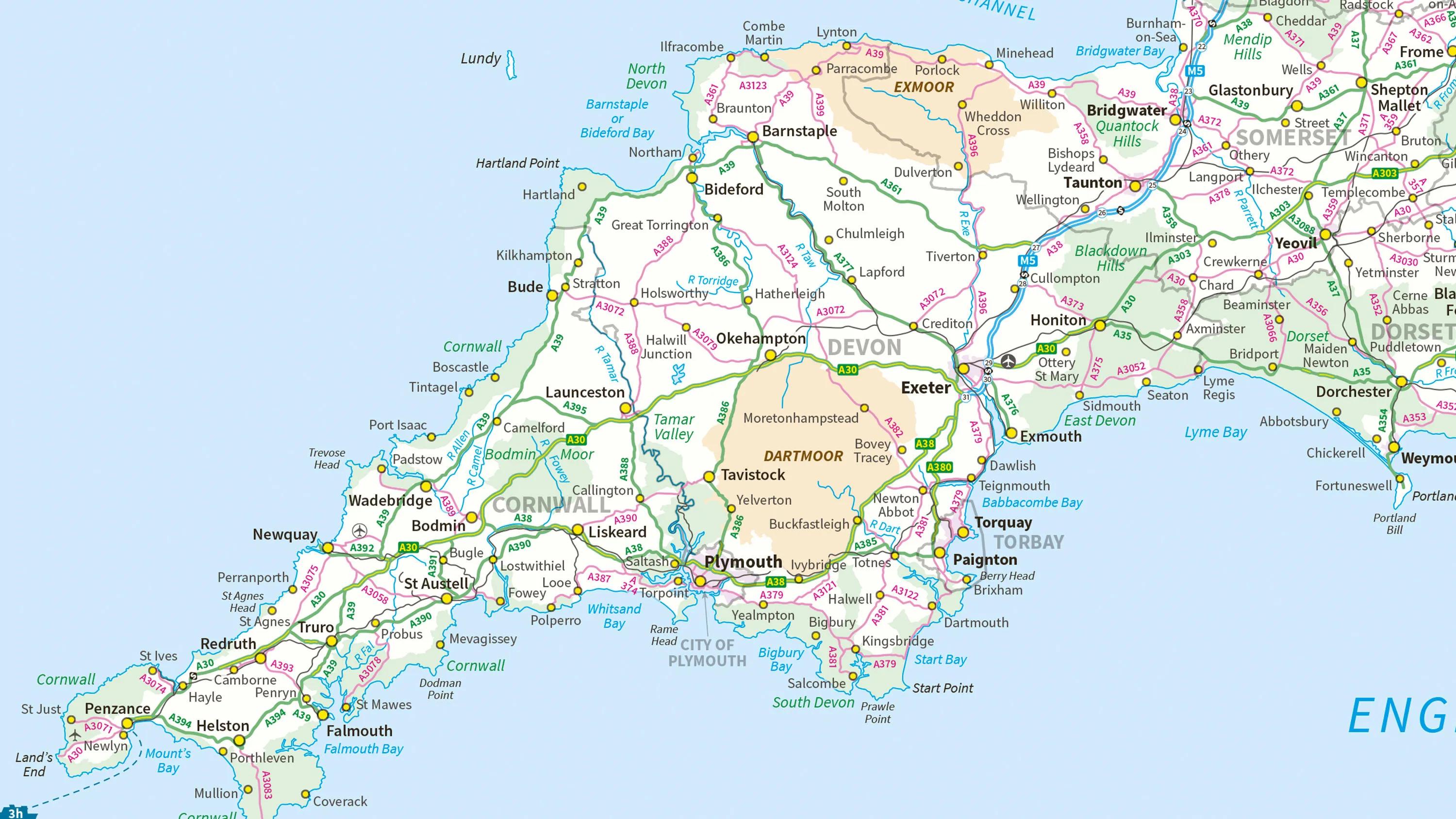
Ordnance Survey's MiniScale® is an open national backdrop map of Great Britain.
The OS Downloads API lets you script and automate your downloads of OS OpenData and OS Premium data. Save valuable time by automating the process.

An API to filter Ordnance Survey data for buildings, roads, rivers, hospitals, playing fields, greenspaces.

Access the relationships between properties, streets and OS MasterMap identifiers for free.
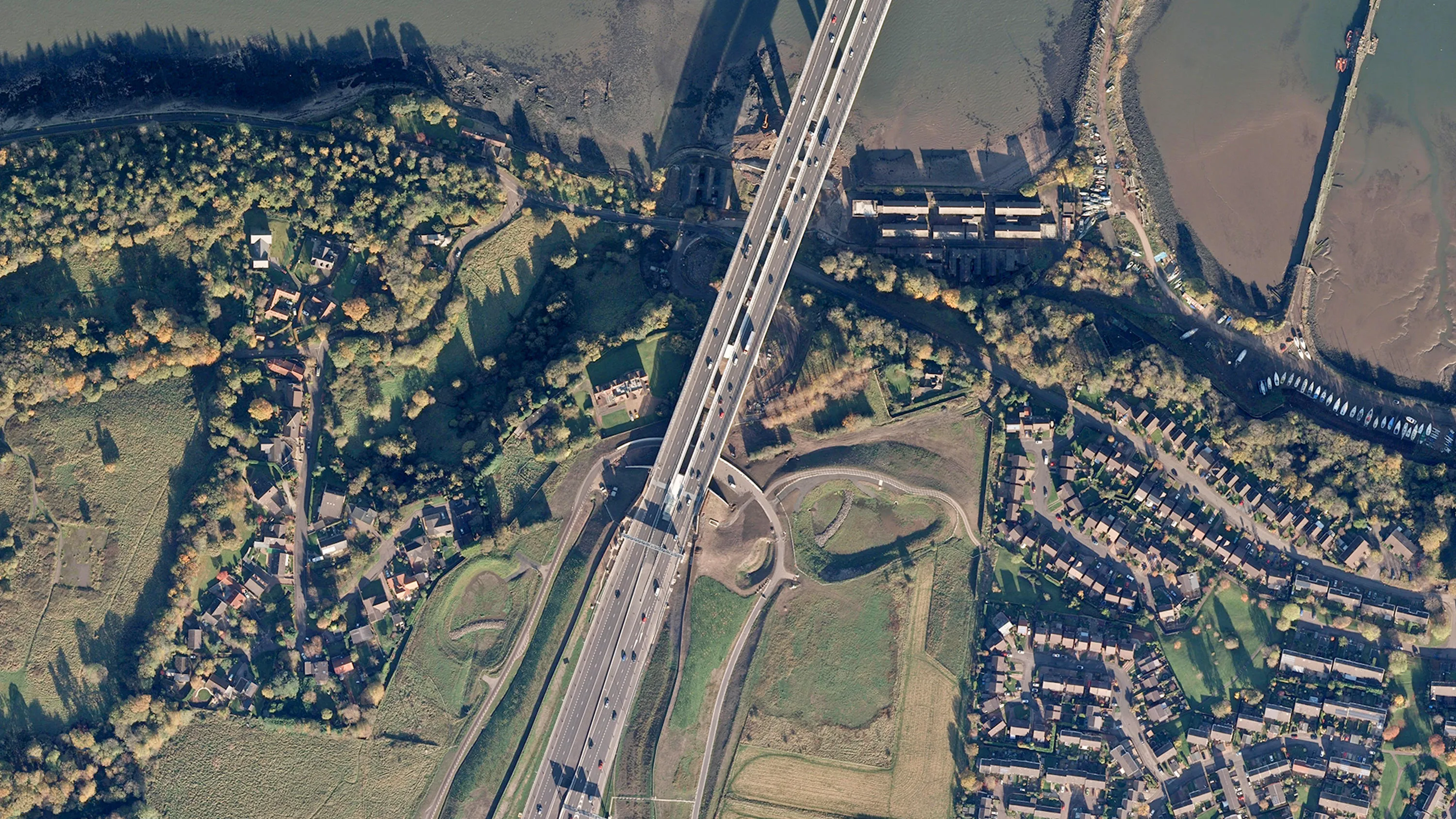
Digital colour-balanced and corrected for geometric distortions (orthorectified) aerial photography for Great Britain.
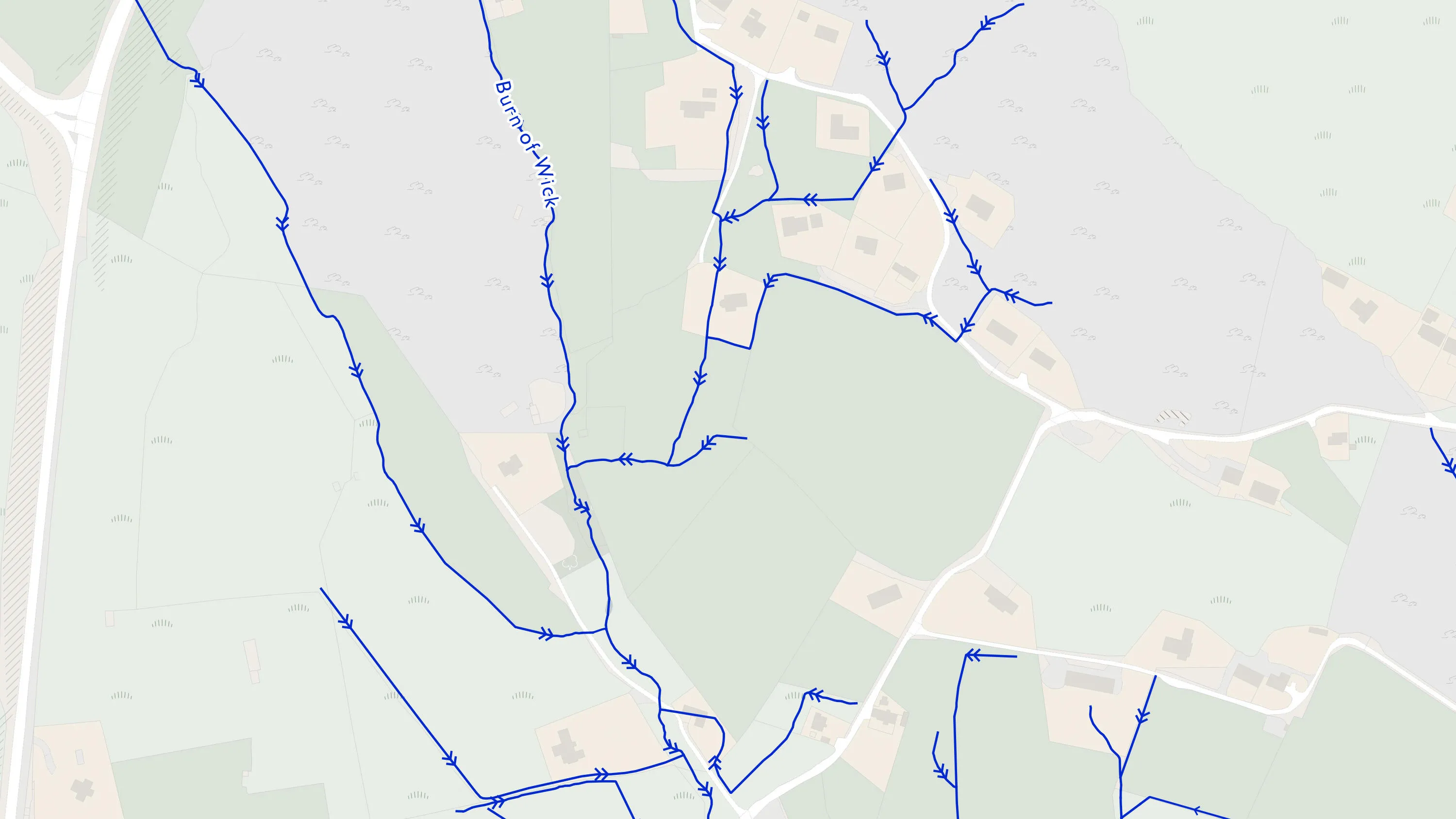
A heightened water network dataset showing flow and precise course of every river, stream, lake and canal in Great Britain.
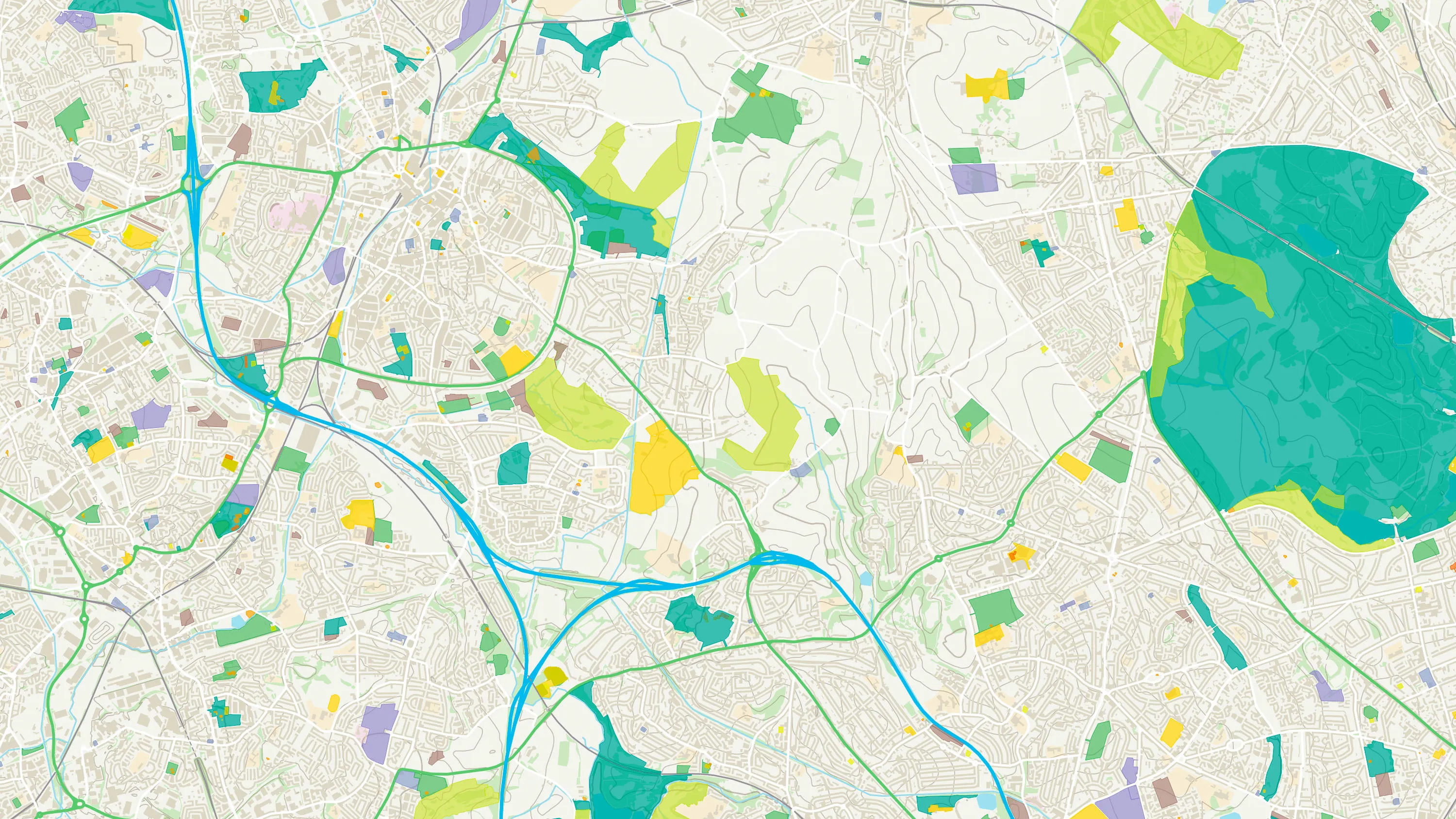
Ordnance Survey's OS Open Zoomstack is an open vector basemap showing coverage of Great Britain from a national level, right down to street detail.
A vector tile service providing detailed Ordnance Survey data as a customisable basemap.
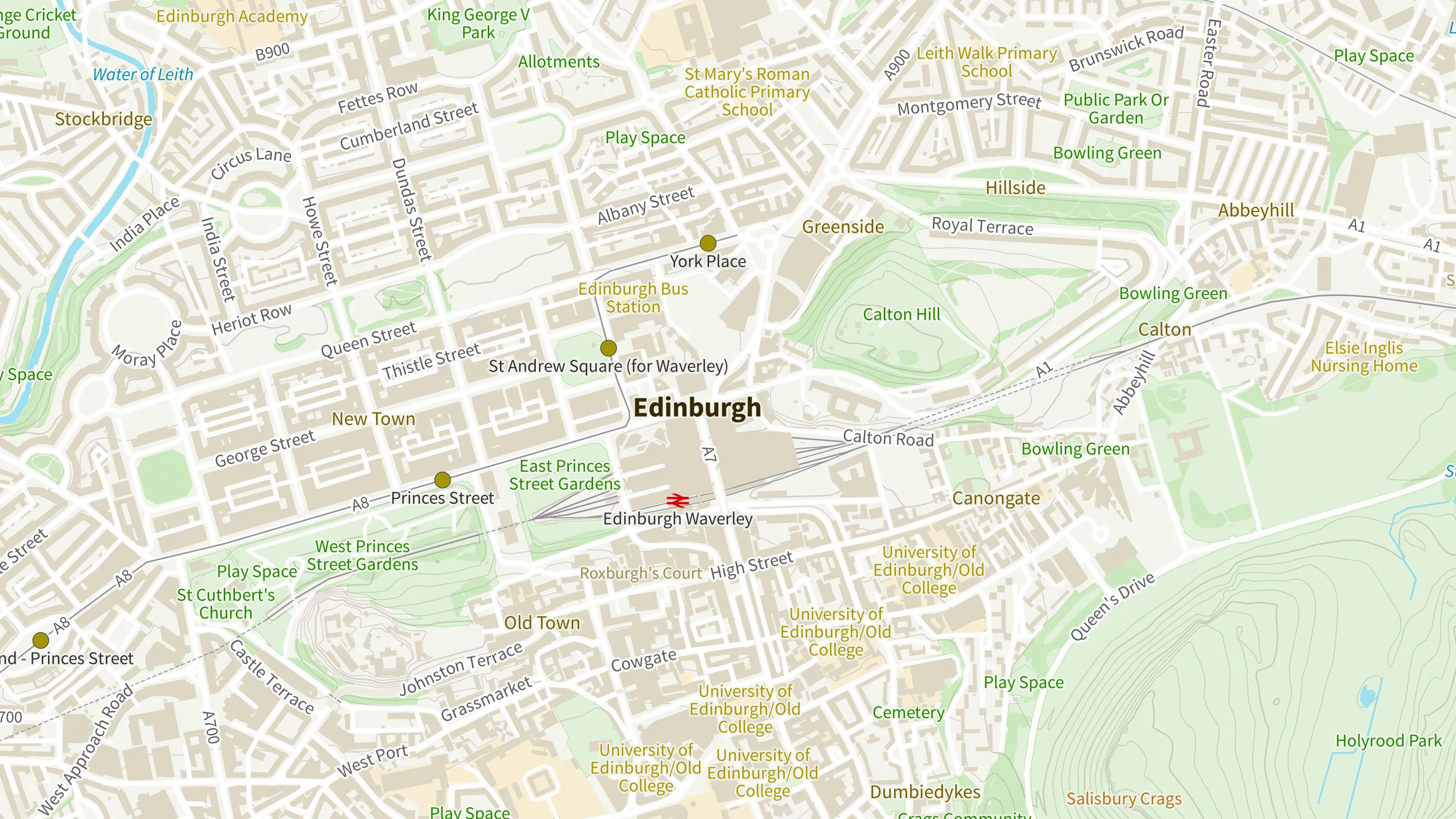
OS VectorMap® District is an open basemap to overlay and visualise your own information on.
OS VectorMap® Local is a highly-detailed, customisable, street-level map, showing fences, building outlines, paths and street names.