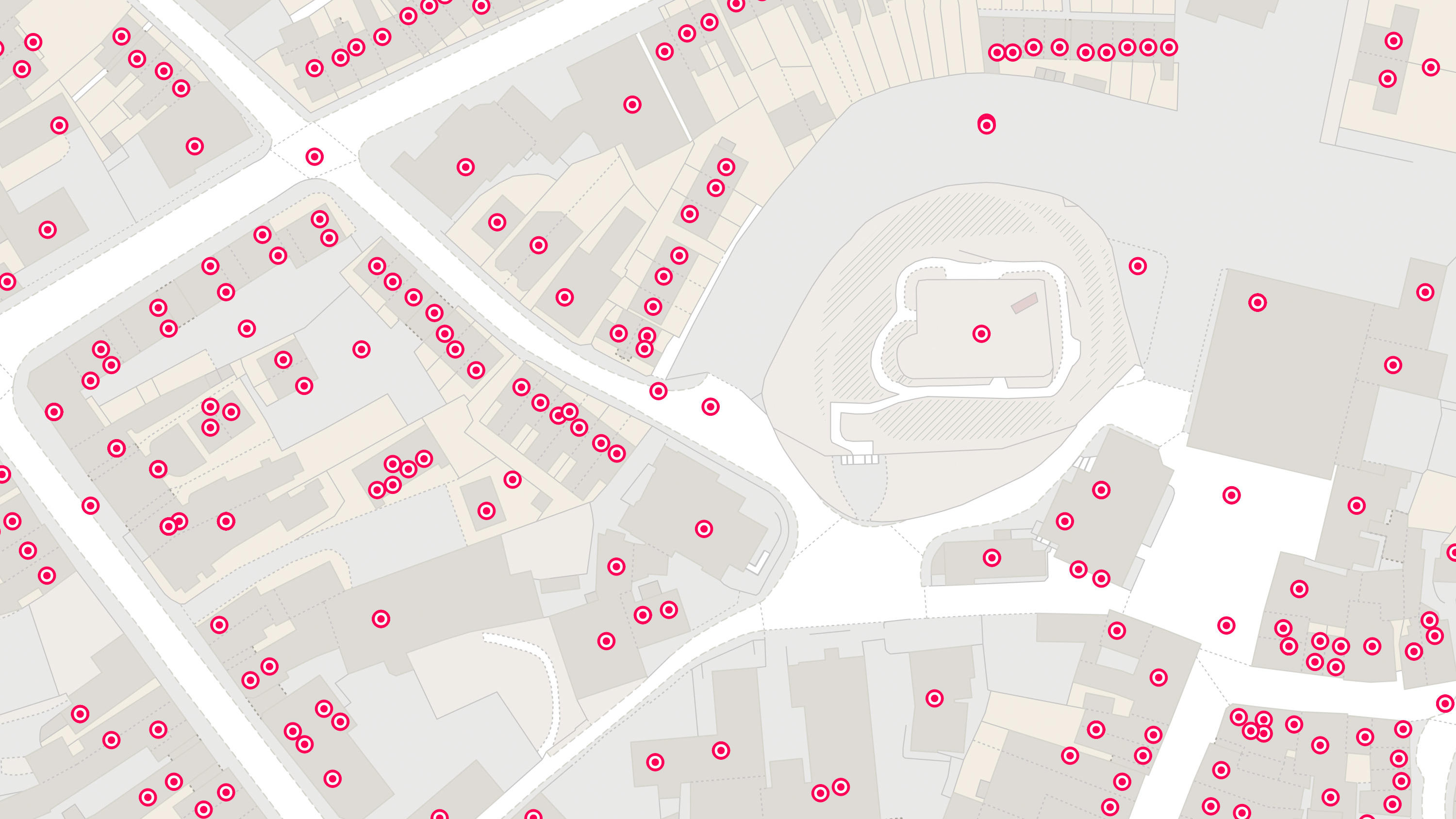
Lloyds Banking Group (LBG) is one of the UK’s largest financial services organisations. It provides retail and commercial banking services and supports customers across the housing and property sectors. Accurate address information is a crucial asset throughout LBG's processes, from onboard...
Case studies
Discover how Ordnance Survey data is driving more efficient decisions in organisations like yours
Found 13 results
Page 1

Capturing the value of nature, with NatureScot
NatureScot, Scotland’s nature agency, has developed a new digital tool for farmers to assess the environmental value of their land. NatureScot’s tool, Farm Biodiversity Scotland, known as FarmBioScot, is being tested by farmers and crofters – allowing them to map habitats, asses...

Sustainable homes, with Southern Housing
Southern Housing is one of the largest housing associations in the UK, owning and managing over 80,000 homes across London, the Midlands, and the South East.
A not-for-profit housing provider, its social purpose is the foundation for all its work. Southern Housing is determined to maximise...

Remote solar panel assessments underpinned by OS data
Absolar, an OS Associate Partner specialising in renewable energy management, helps end-users enhance their sustainability and energy efficiency by identifying the ‘solar potential’ of a given location.
Its technology and services can remotely survey properties, to determ...
Zoopla & the UPRN
As a key player in the property sector, Zoopla are invested in discovering and implementing new ways of improving their data quality; anything which might help reduce fall-throughs, speed up conveyancing, smooth the sales processes, and ultimately, optimise their services.

Protecting Hampshire’s nature - Nitrate neutrality in the Solent
Natural England, the agency responsible for helping protect England’s natural environment, have announced that all new planning proposals covering Hampshire’s Solent waterways and wetlands, must be “nitrate neutral”.
Nitrate pollution, often caused by chemical ferti...

Complex land use decisions simplified by The Land App
Tim Hopkin comes from three generations of farmers, and is revolutionising the way complex land use decisions are made, through the creation of The Land App.
The Land App is an admin tool for the British countryside, available for use by the nation’s landowners, land agents and manag...
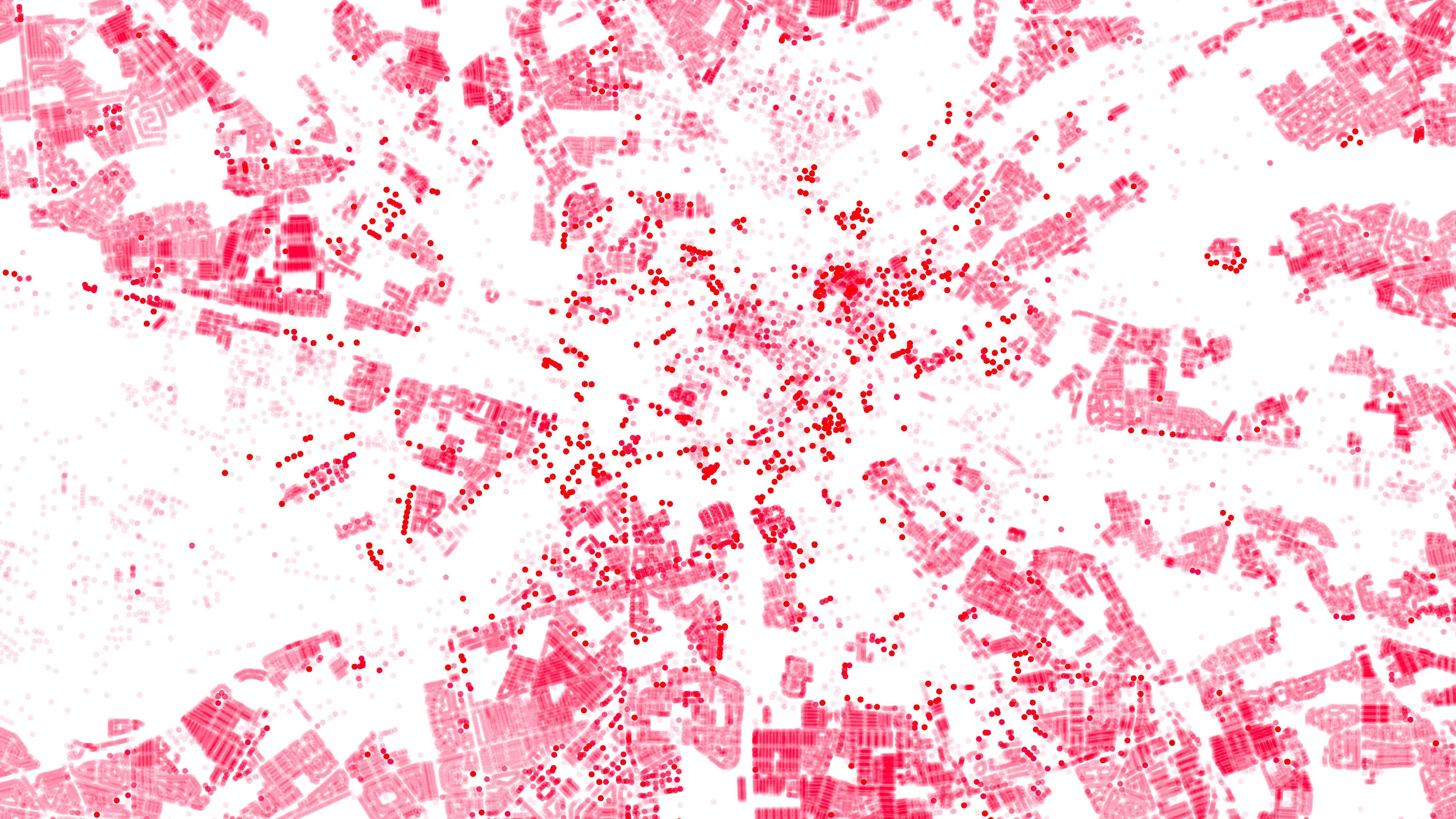
OS Data Hub used by Balkerne to offer risk intelligence platform
Balkerne has built a real-time risk intelligence platform to predict, prevent, and detect damage to property. Their digital platform, SmartResilience, integrates data using 35 different sources including location data from the OS Data Hub.
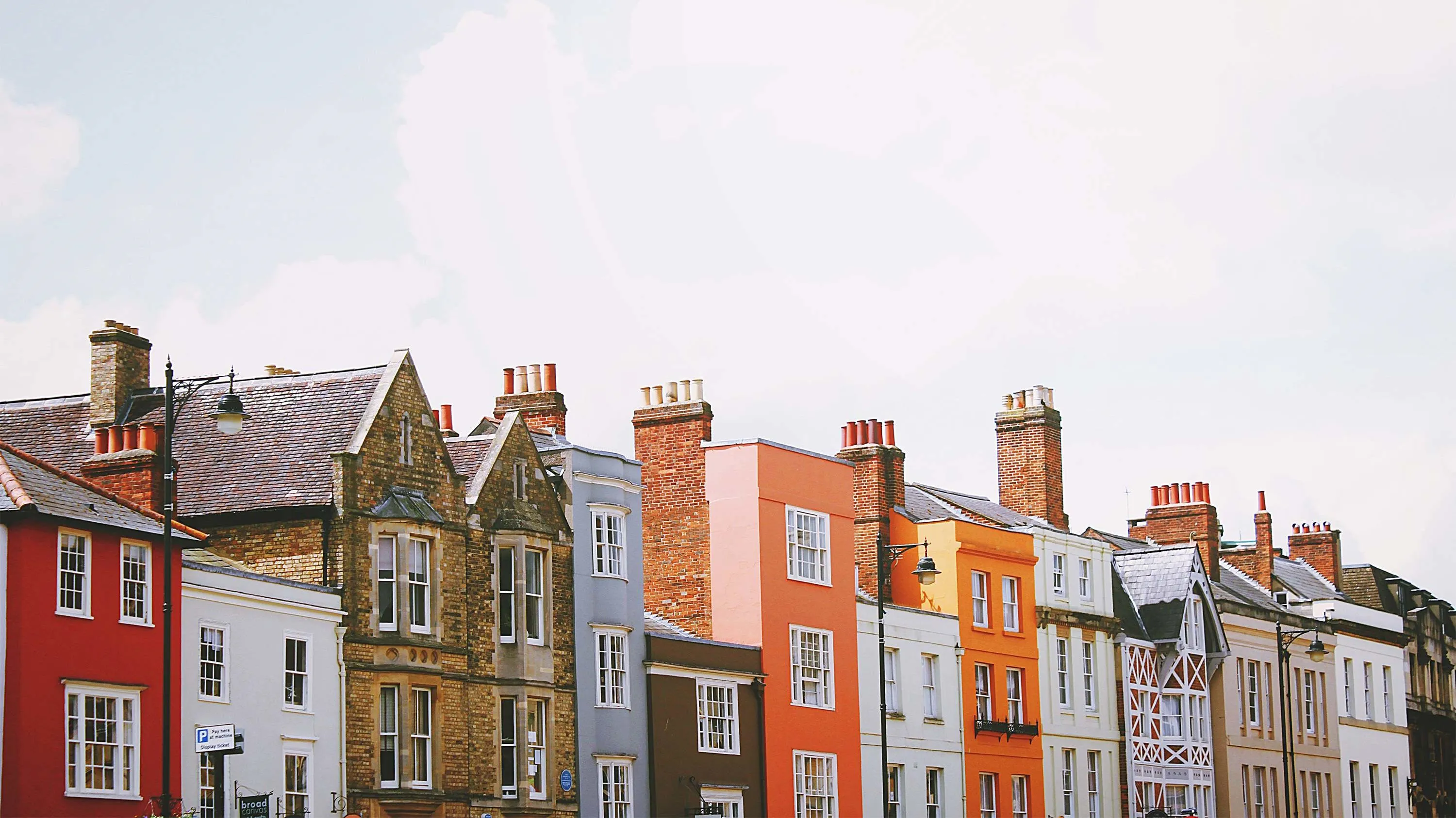
Using OS data to help fix the housing market
Solving what the UK Government calls ‘the broken housing market’, is one of the biggest challenges of our age. By using Ordnance Survey mapping and overlaying relevant data, Sprift, a UK tech start-up and OS Licensed Partner have brought together all the intelligence on any property i...
You have viewed 9 of 13 case studies