Challenge
Absolar already possesses the necessary data to identify a location’s solar potential. With its in-house technology and teams of experts, Absolar can assess a rooftop, determine the power a panelled rooftop can generate, and plan the optimal panel placement. Absolar’s assessments involve intrinsic layers of detail. For example, shaded areas, mapping the sun’s path, how those pockets of shade move and change throughout the day, even considering variables like vents or pipes which need to be avoided. This data is then combined into a data model that can produce an estimation of how much energy each solar panel will produce every half hour. These assessments can also help decide whether a rooftop gets enough sunlight in one year to warrant a panel.
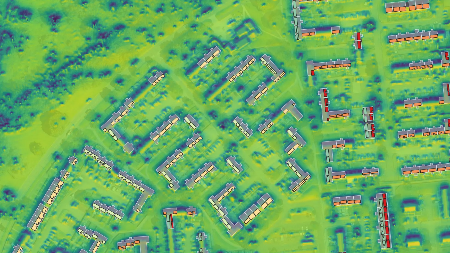
Absolar used LIDAR (light detection and ranging) to survey locations in 5 sq km blocks, often encountering more than 5000 buildings for solar potential analysis. For its assessments, Absolar needed a clearer understanding of various factors such as what is and isn’t a building, who resides there, is it residential or commercial and what is inside the building.

The teams could use aerial imagery and machine learning to better inform decisions concerning the exterior of the building. However, they still required insight into the interior layout, how the building might be separated, and through that who might have access to the rooftop to install the panels.
Absolar then turned to Ordnance Survey (OS) for addressing data.
Solution
Absolar combined its own data with OS data and products, to unlock a more granular level of detail and apportion the 5 sq km LIDAR into blocks of building occupiers. OS data, including the OS NGD Select + Build API, and OS MasterMap, could be used to determine whether a building was commercial or residential, as well as the floorplan or ‘footprint’ of the building, and overall, what is and isn’t a building.
AddressBase and the Unique Property Reference Number (UPRN) were then used to data match addresses and ensure that once a building was identified as a viable candidate, Absolar’s data could be linked correctly to the local authority data.
Discrepancies in addressing data between different organisations can cause challenges that require additional time and effort to data cleanse. However, with AddressBase and the UPRN, Absolar could look up 5000 addresses, and be assured that all organisations and agencies involved in the project were concerned with the correct building.
UPRNs also offer an additional layer of addressing detail, as a block of flats will have one postcode, but each individual flat will have its own UPRN. Absolar can leverage this by identifying specific UPRNs and addresses of top floor flats, for example, who would be more involved with installation work and may have rooftop access.
Result
Using OS data to data match addresses has significantly improved Absolar’s surveying processes. A regular survey, spent identifying the right building and then the viable parts of each building, used to take six to seven hours’ work. OS’s input has reduced that process down to three minutes.
Benefits
In the past 12 months, Absolar has installed 1,213kWp of Solar PV systems as a result of demonstrating solar potential to clients through digital Remote Solar Assessments, underpinned by OS data for building location and intelligence. These systems will offset 206,348kg of CO2 in the first year of operation alone.
"We use OS data to underpin all our remote solar assessments, giving us a base level of truth that we wouldn’t have otherwise, and helping shorten the time to completion. We’re helping more organisations tap into more renewable energy, and lower their carbon emissions, which is fantastic."