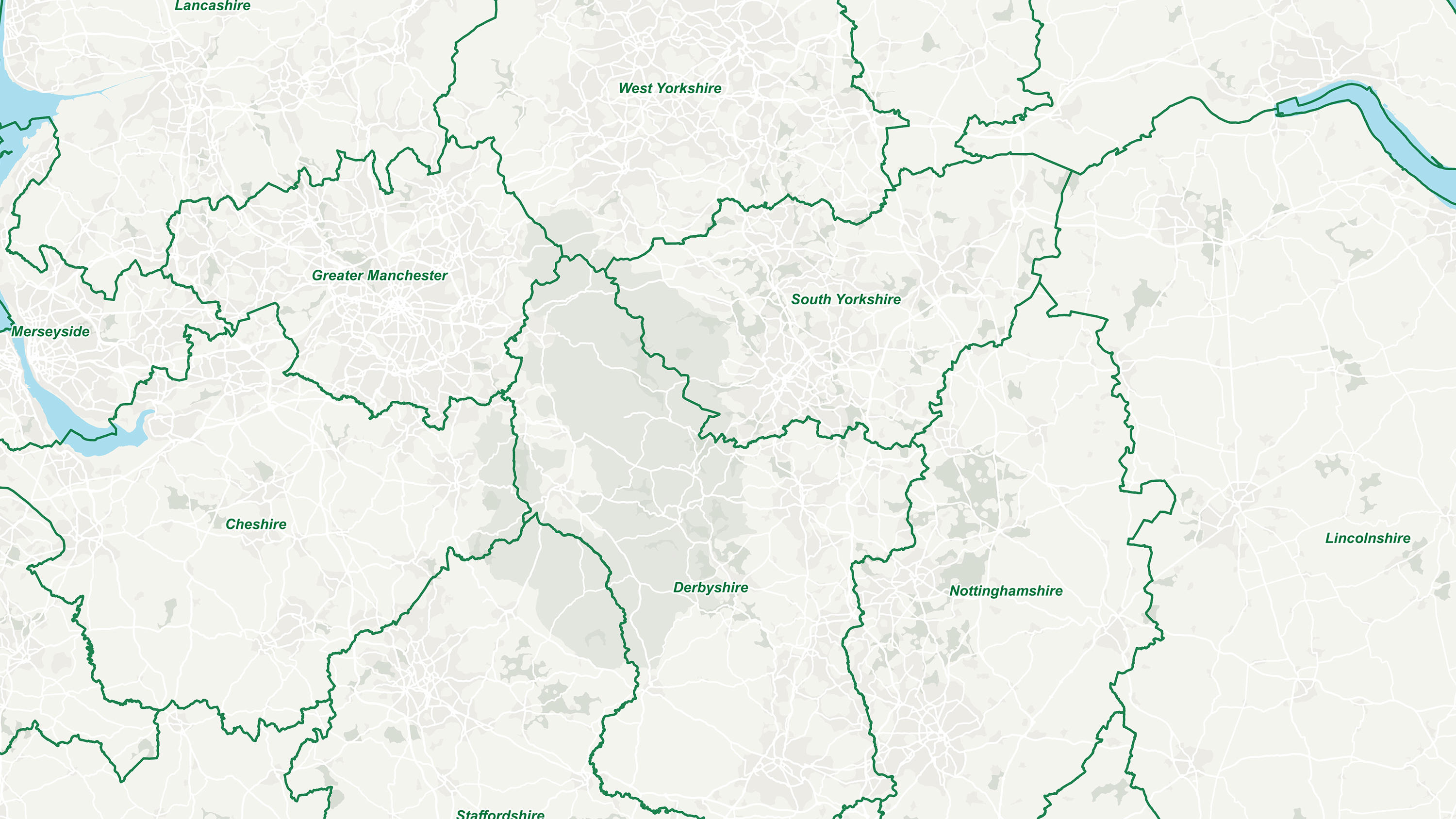
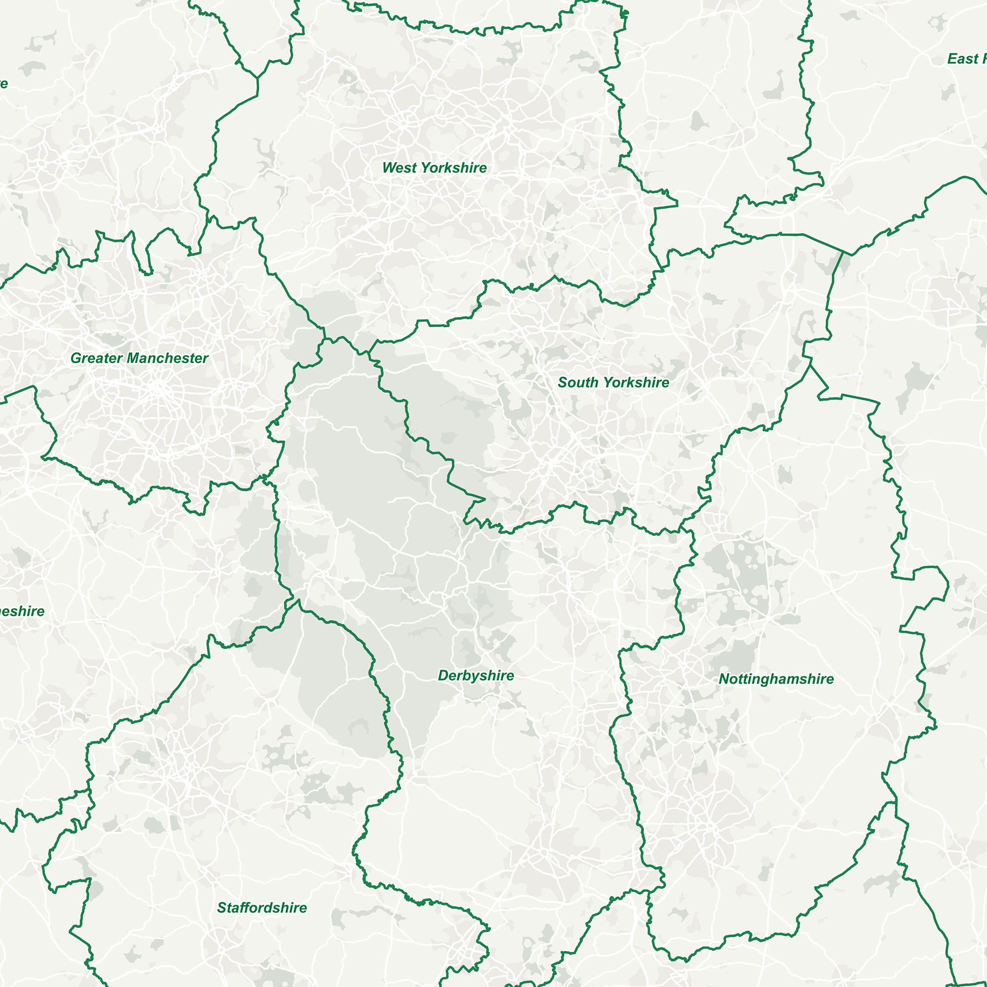
GB Counties - Past and Present
Explore the county boundaries of Great Britain throughout time with our counties map, which shows historic and ceremonial counties.
Get this ProductView Technical InformationFree to use for everyone
Explore the county boundaries of Great Britain throughout time with our counties map, which shows historic and ceremonial counties.
OS has been mapping the changing physical landscape of Great Britain for the past 224 years. It is not only the landscape which has changed, but our county boundaries have also changed over the past two centuries.
Ceremonial counties, as defined by the Lieutenancies Act 1997, refer to the areas relating to the Lord-lieutenants, the monarch’s representatives. And historic counties are geographical boundaries that date back over many centuries, and form the basis of the counties we know today.
The term ‘counties’ has three slightly different definitions in Great Britain. The first would be counties defined by the Local Government Act 1972 and used for administrative purposes.
These datasets have been created as part of a project with the Department of Communities and Local Government (DCLG). The current and historic county boundaries have been added to our administrative boundary data under the open data portfolio.
Ready to get started with OS data?
Take the next step by signing up to the OS Data Hub and create your first project today.
For further help about how our data can transform your organisation, contact us today
Contact us