Challenge
Tackling a range of crime types including “serious violence” has been a focal point of policy and operational interest for the Home Office in recent years. To better understand geographical variations in offending and victimisation, the department has explored opportunities for combining crime data with location-based data.
The Home Office then approached Ordnance Survey (OS), the national mapping service of Great Britain, to provide the necessary geospatial datasets and location expertise.
Solution
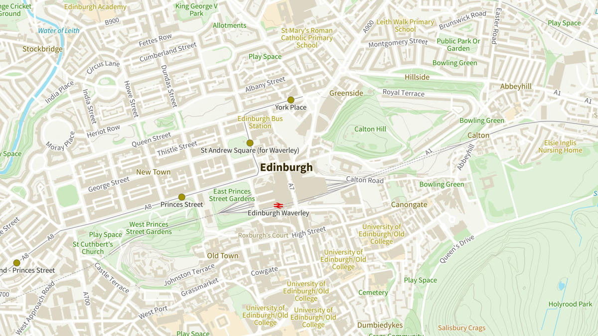
Numerous OS datasets were made available to the Home Office for free under the Public Sector Geospatial Agreement (PSGA) including OS Open Zoomstack, OS MasterMap Highways Network and AddressBase Premium. But to provide the specific context for what was happening where, Points of Interest data was used.
Points of Interest is the most comprehensive, location-based directory of all public and privately-owned businesses, education and leisure services in Great Britain. It also contains data from PointX, which was supplied to the Home Office by Landmark.
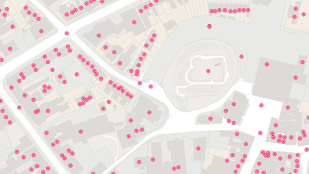
Once the Home Office had all the datasets they needed, they created an interface which enabled them to overlay their own Police Recorded Crime data on top of the detailed OS mapping layers and the Points of Interest data, providing them with the full picture of what was happening where.
Crucially, Landmarks specific product knowledge allowed the Home Office to discuss their requirements in detail and enhance the interface over time. Furthermore, Landmark identified supplementary categories of the Points of Interest data and supplied them to the Home Office, providing a focussed version of the data for their requirements.
"By combining advanced data science techniques with richer and more granular geospatial data, we have been able to produce more insightful analytical models which has provided a greater understanding of local crime patterns and trends."
Result
OS datasets available under the PSGA in combination with the Points of Interest Data enabled the Home Office to identify key features of crime hotspots and identify comparator ‘control’ areas that support the robust evaluation of interventions.
"It's been great to support the Home Office in their work understanding geographical variations in offending and victimisation in the provision of the PointX dataset, a joint venture between Landmark and OS. Once again we are seeing the critical role that location data plays in underpinning our emergency services."