

AddressBase family
Learn about the AddressBase product family, made of four tiered products bringing together different address sources.
Discover our geospatial data products and services
Use OS data products in your Geographic Information System (GIS) to view and analyse map data. Our open data and premium data works in a range of mapping software including ESRI ArcGIS, QGIS, Mapbox, Cadcorp SIS, MapInfo, Tableau, Kepler.gl and many more.
Easily search for and select the authoritative data you need from one single source.
Learn about the AddressBase product family, made of four tiered products bringing together different address sources.
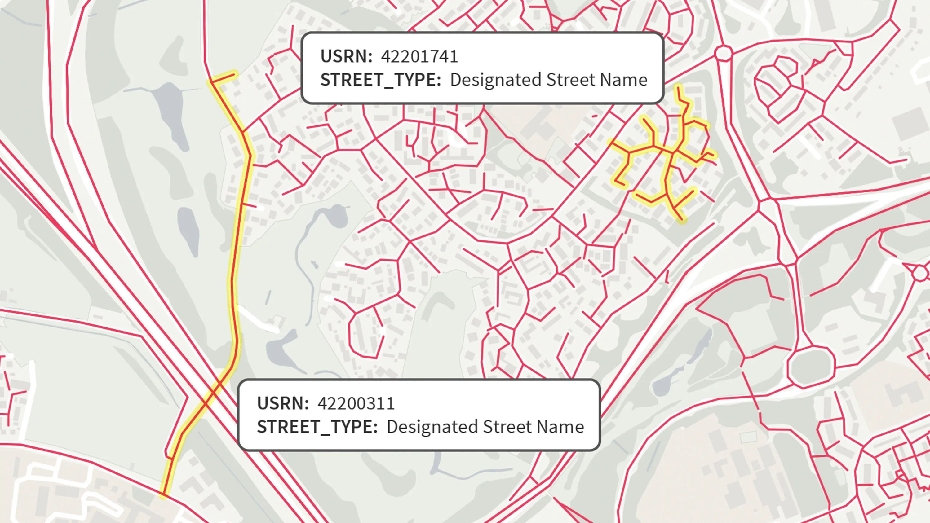
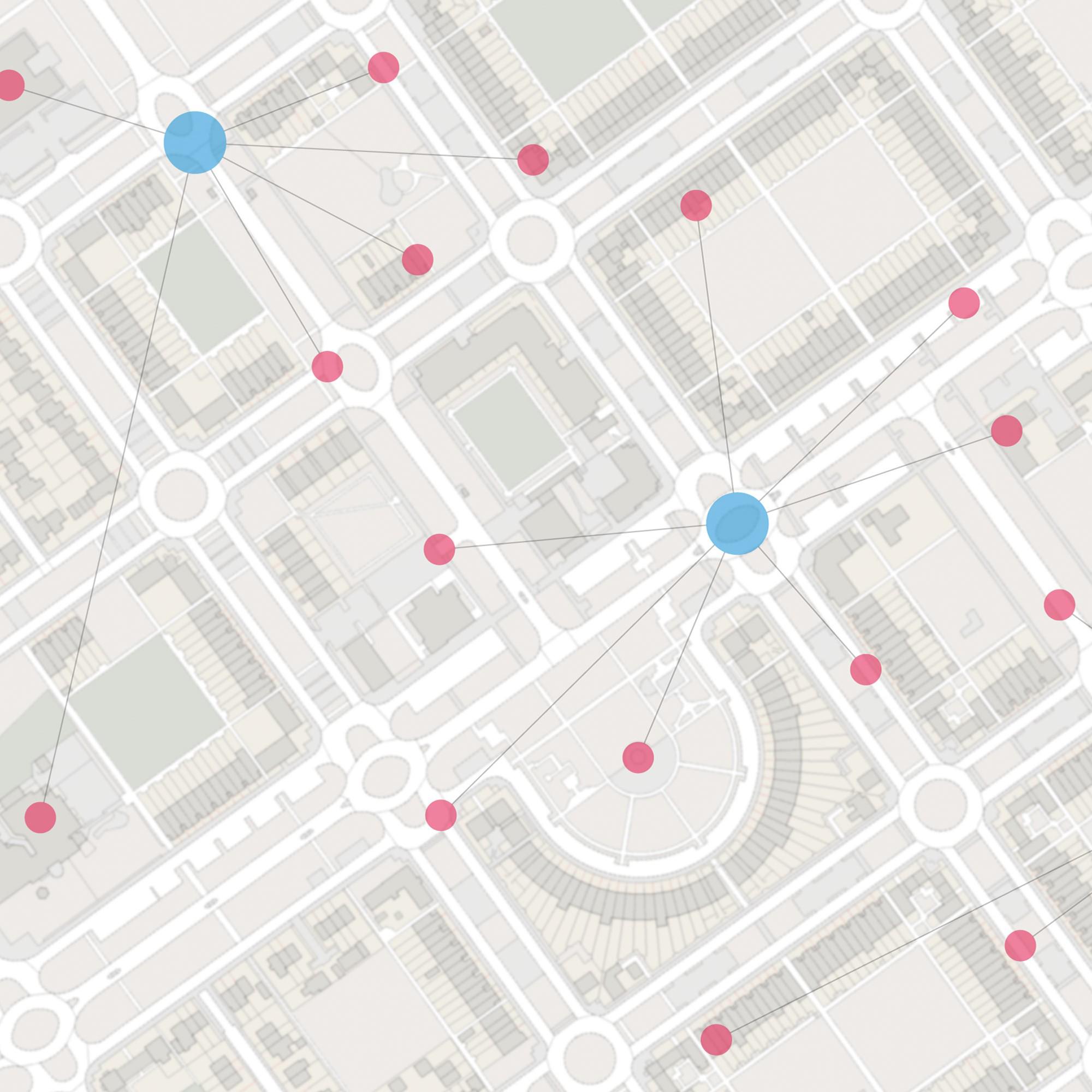
All you need to know about Identifiers and how they enable linking, analysing and visualising datasets.
Read case studies from our valued customers who demonstrate the impact OS data has for a range of challenges and uses.

York City Council’s flood team can now easily record, share and visualise gully...

The Metropolitan Police is the UK’s largest police force. It polices 620 square miles and...

Supporting BT's fast-growing Northern Ireland network with mapping data. BT’s Northern...
Choose a subscription plan that's right for you and your organisation
Freely available for anyone to use, whether as an individual or as part of a business
Available for solution providers partnering with OS
Includes open and premium data made available through the Public Sector Geospatial Agreement (PSGA)
With over 20,000 updates to our databases every day, access a comprehensive and up-to-date set of authoritative data through the OS Data Hub
Already have an account? Sign in
Visit our product support page to access useful product and technical guidance to help you use OS data products successfully.
View our key deliverables for product enhancements and withdrawals, OS National Geographic Database and the OS Data Hub.
