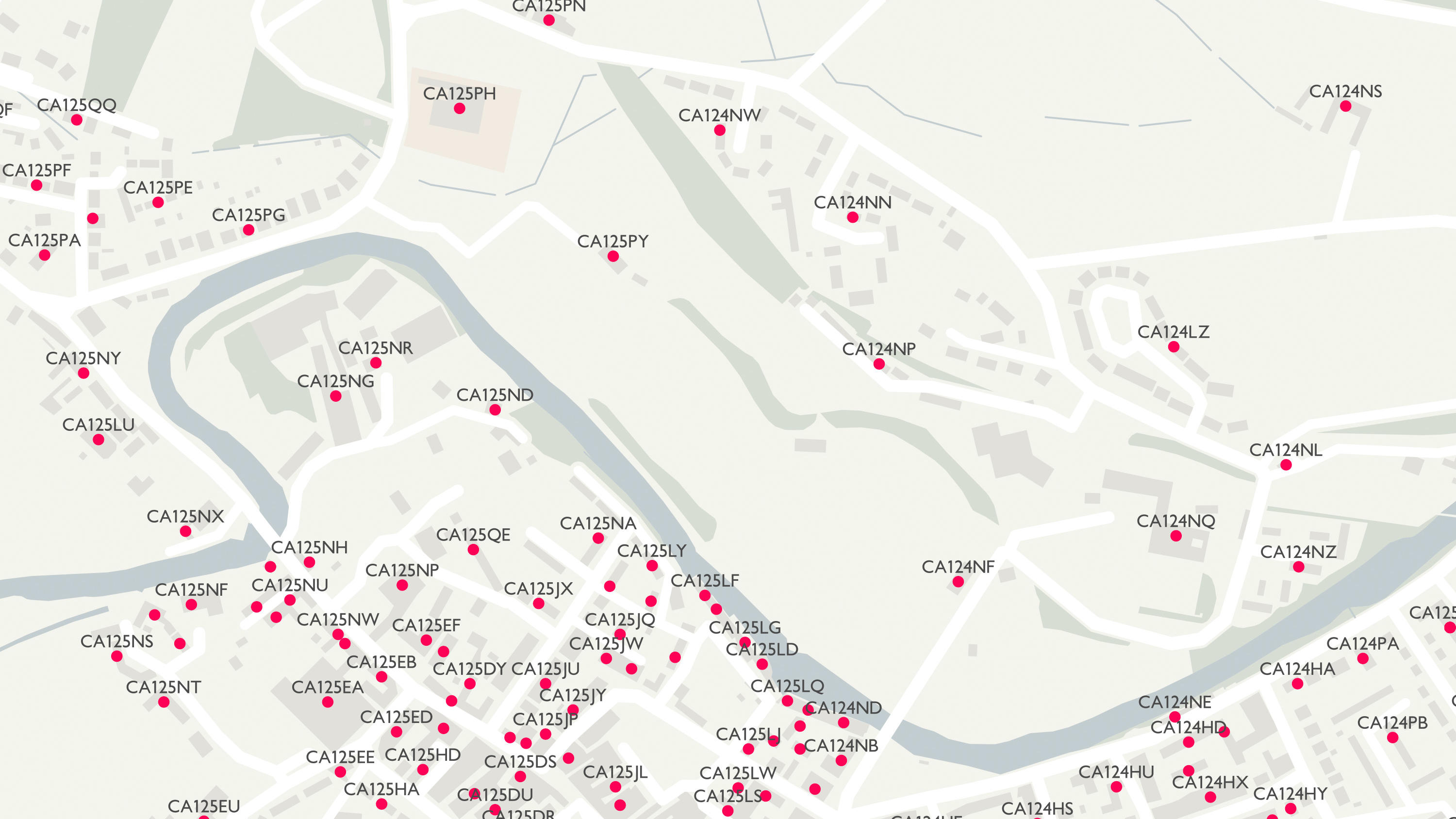
- Home
-
Public Sector
Public Sector
Quick links to popular content
- Business
-
Leisure
Leisure
OS getamap – print your route
Have your map custom made
Visit our shop
Read our magazine
-
Education & Research
Schools
Further & Higher Education
Research
General interest
-
About us
About us
Quick links
- Support
Code-Point Open

Code-Point® Open contains a list of all the current postcode units in Great Britain, each of which has a precise geographic location at a resolution of 1 metre.
It is ideal for a variety of uses including planning A to B journeys, performing analysis, managing assets (such as premises) or utilising postcode lookups.
Code-Point Open is also available as linked data.
Here Code-Point Open is overlaid on OS Street View®
Features and benefits

- FREE to view, download and use under OS OpenData™ terms.
- A fit-for-purpose planning or marketing tool for users not requiring individual addresses.
- Includes National Health Service and local government area codes down to ward level.
Suggested uses

- Statistical analysis
- Market analysis and profiling
- Sales targeting
- Asset management
- Route planning
- Crime pattern analysis
Technical details
Format: Comma separated values (CSV).
Data structure: Vector.
Attributes: Postcode units, eastings, northings, positional quality indicator, NHS® regional health authority code, NHS health authority code, country code, administrative county code, administrative district code and administrative ward code.
Update frequency: Quarterly – February, May, August and November.
Supply: Online download and DVD.
Coverage: Great Britain.
Useful links
Column headers
For users of the CSV file format wishing to look at the data in a tabular structure, this is a spreadsheet with the attribute names


