OS data products
Search below to find the best geospatial data product for you
- Page 1
The OS Downloads API lets you script and automate your downloads of OS OpenData and OS Premium data. Save valuable time by automating the process.

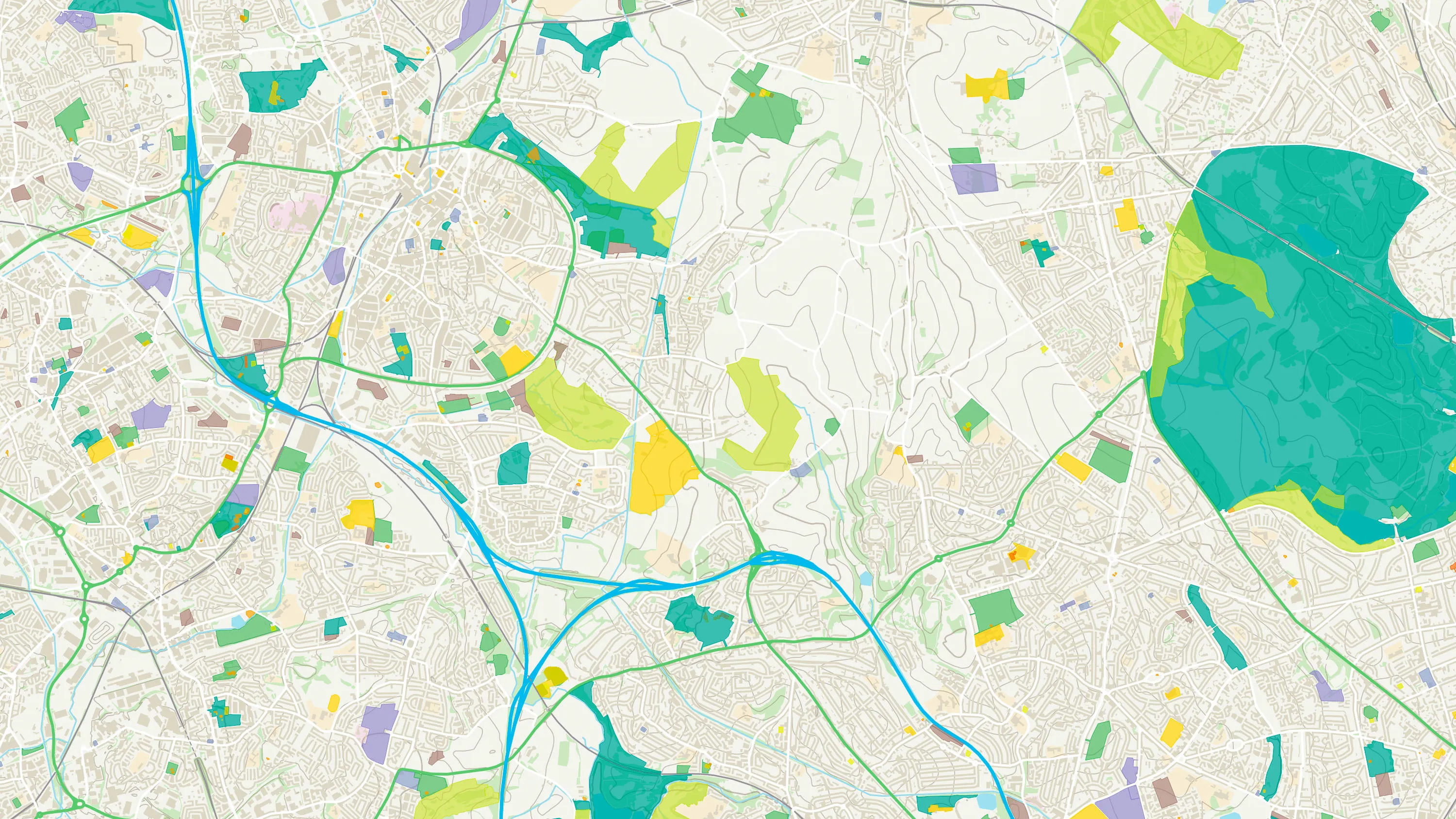
An API to filter Ordnance Survey data for buildings, roads, rivers, hospitals, playing fields, greenspaces.

Access the relationships between properties, streets and OS MasterMap identifiers for free.
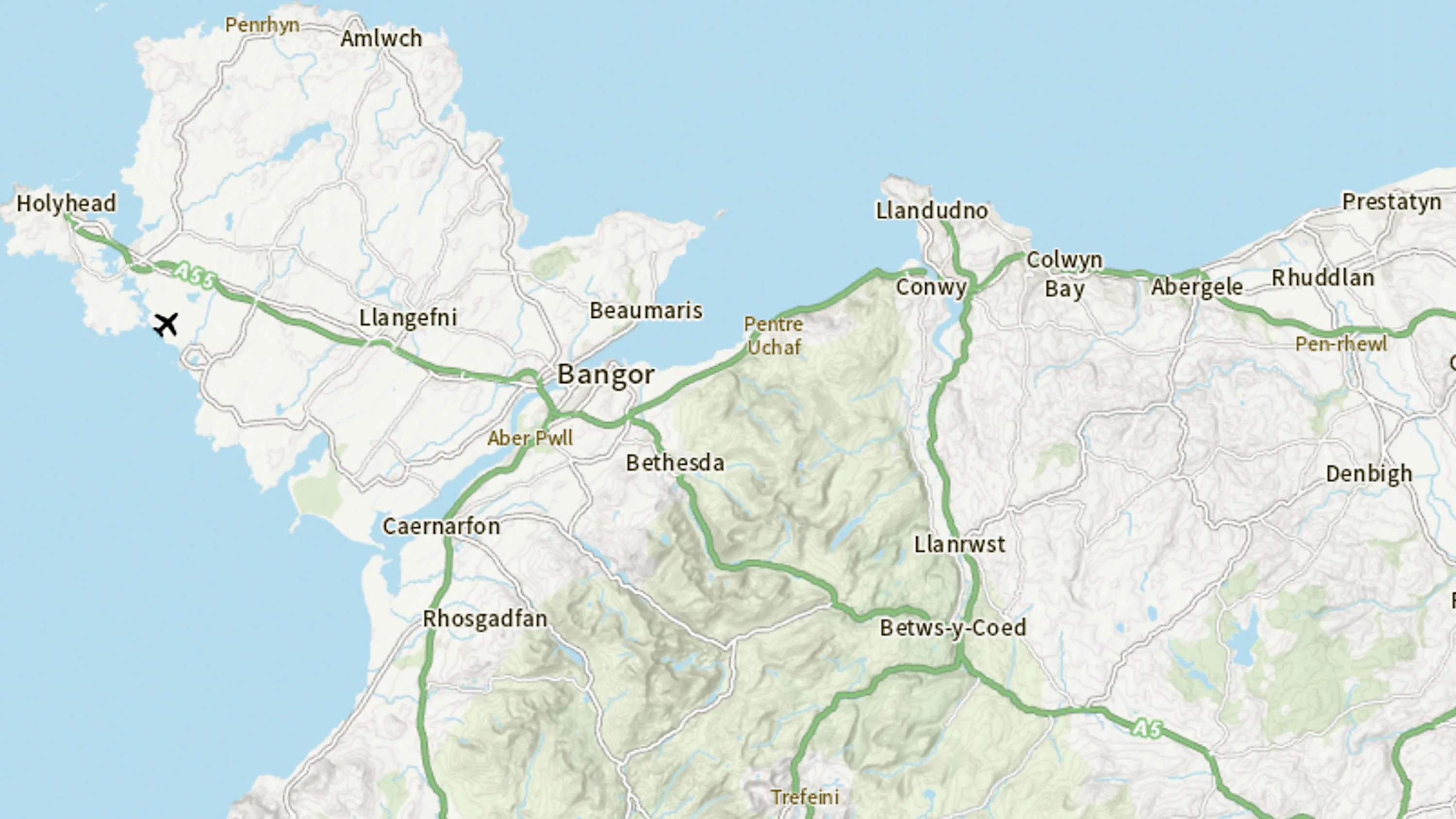
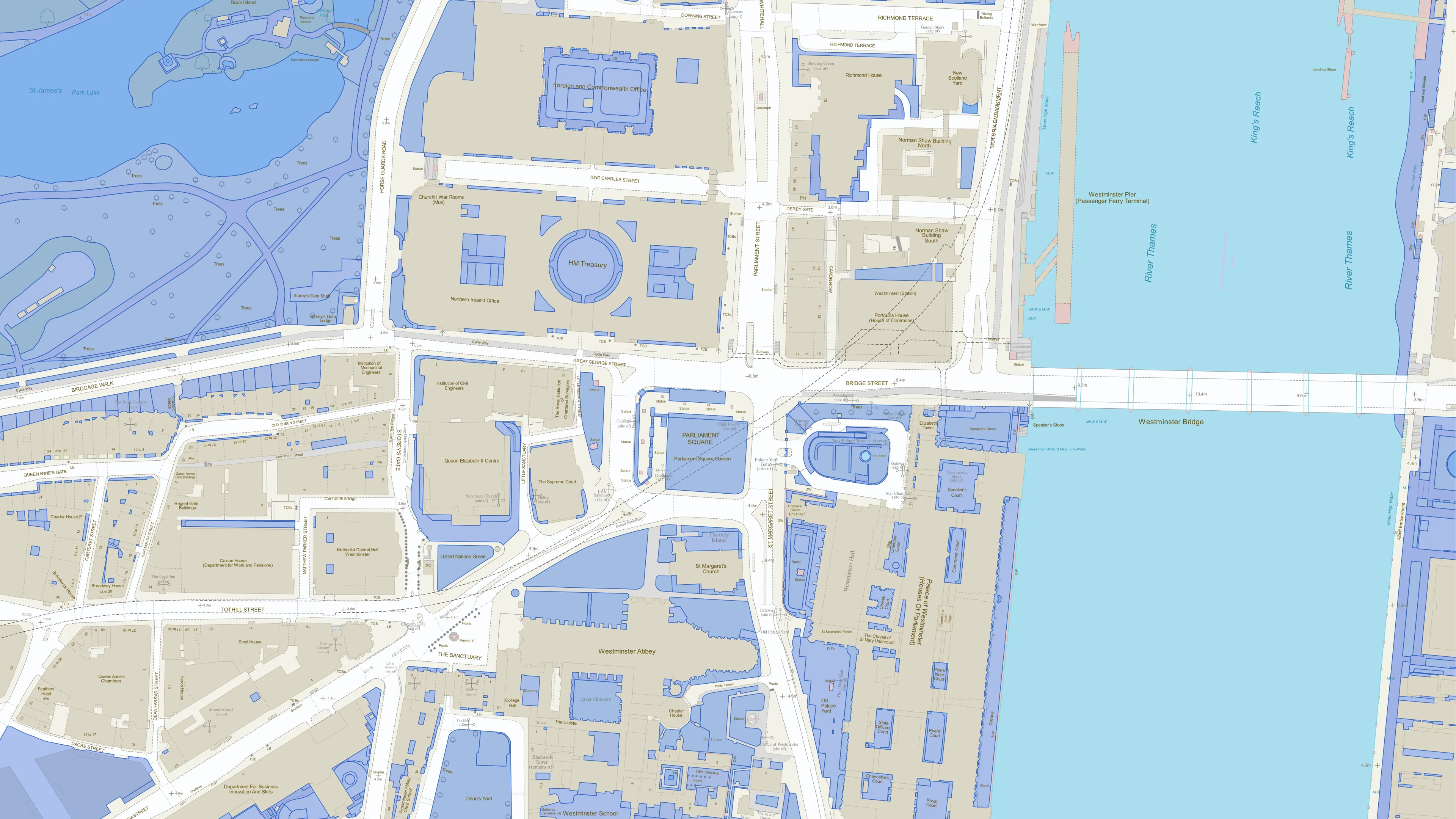
Accurate, up-to-date maps that offer the most convenient way to add detailed OS data to your application.
With OS Match & Cleanse API, you’ll have instant, reliable search results to make deduping and cleansing address data easier for your business.
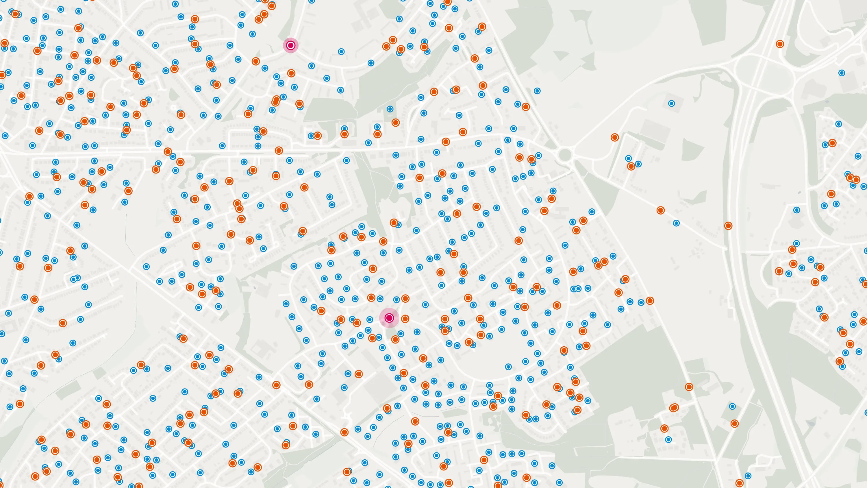
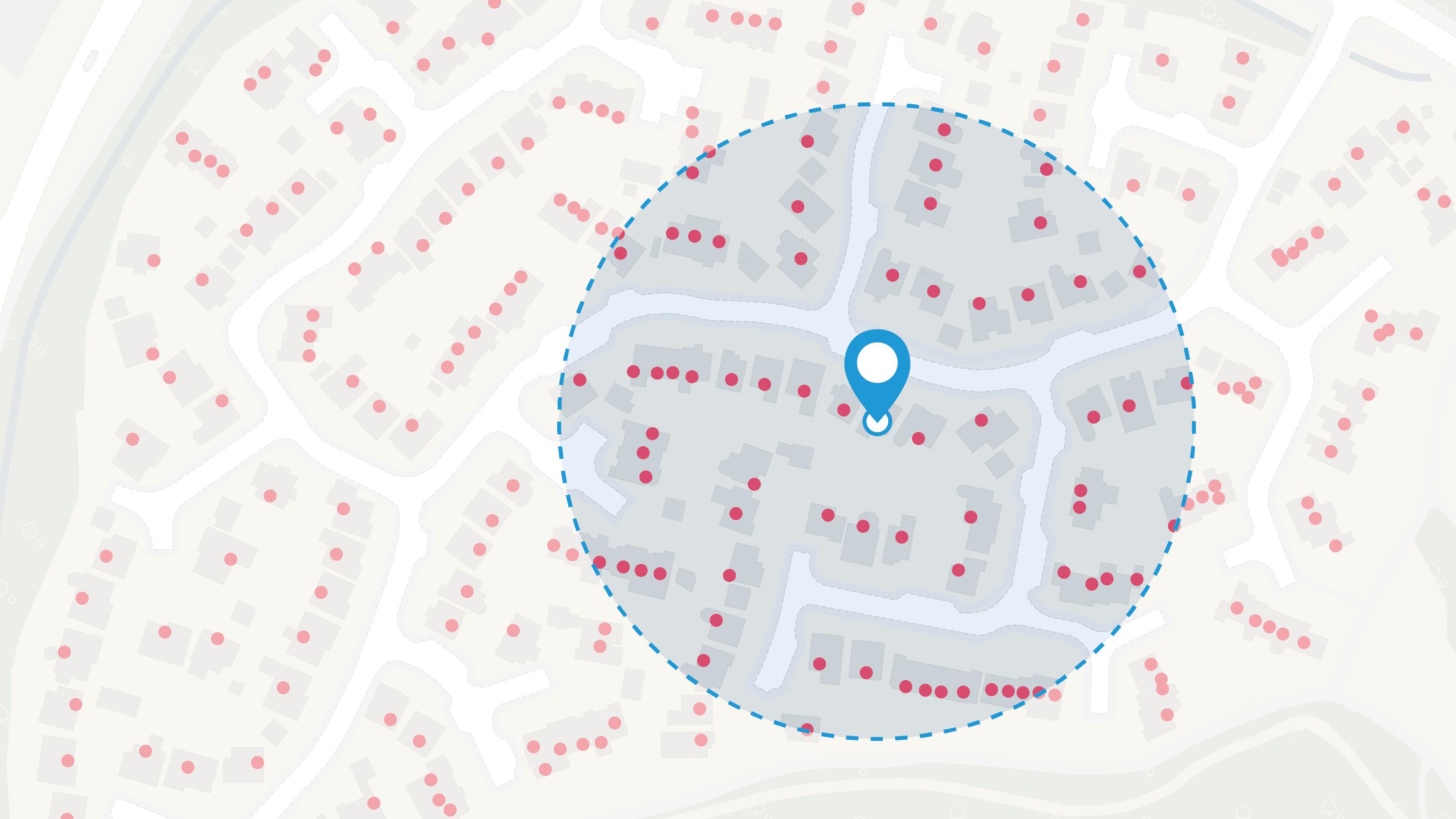
A geographic directory with basic information on identifiable places. Find the closest location to a given point through the API.
Perform powerful geospatial analysis. Filter the data to receive exactly what you need, as and when you need it.
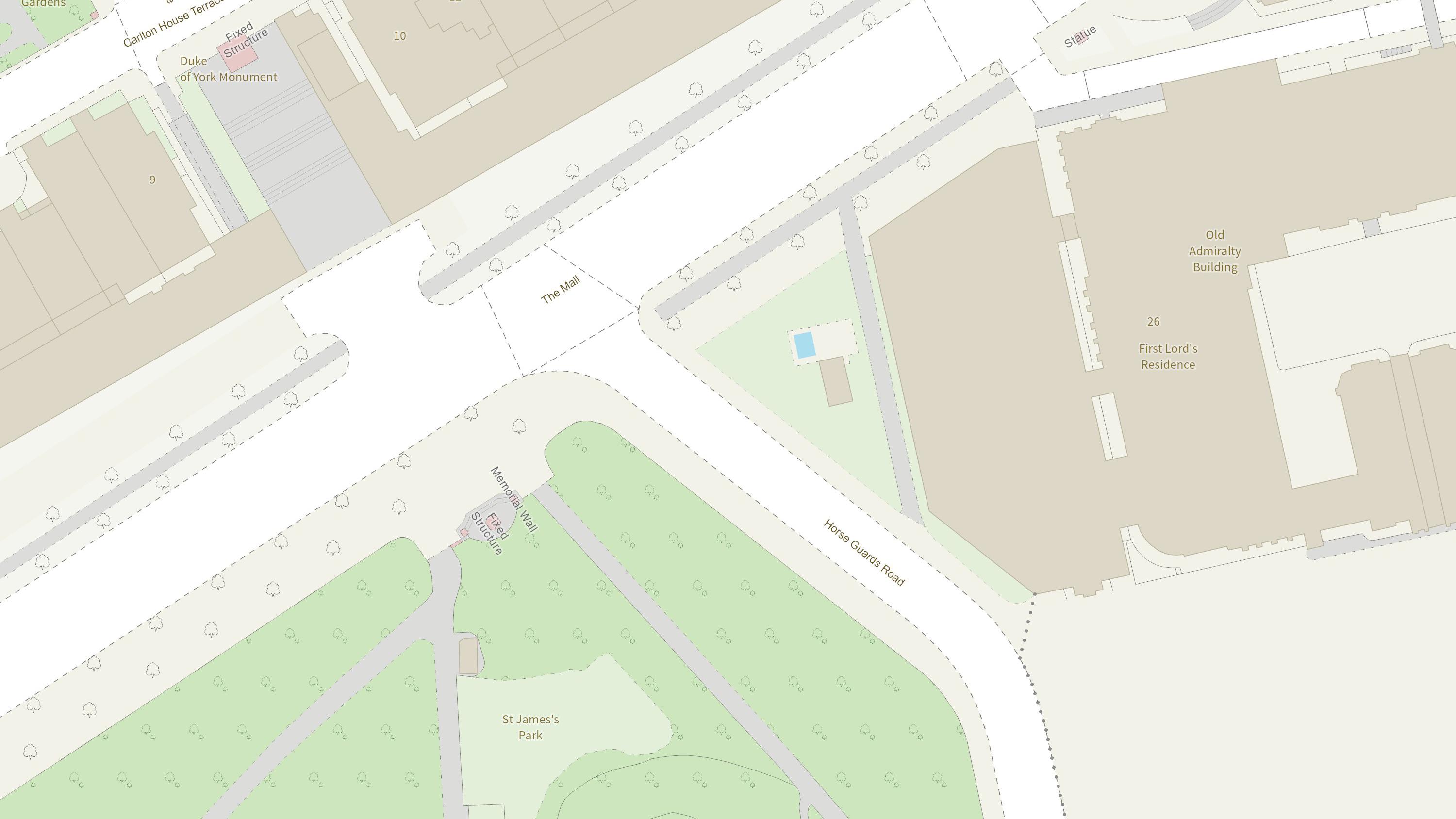
Create beautiful, responsive, and interactive vector maps powered by the OS National Geographic Database (OS NGD).
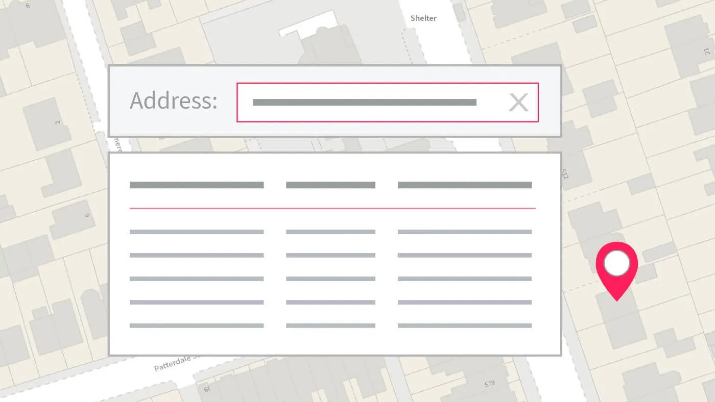
Perform accurate geocoding and reverse geocoding with our secure, scalable, and resilient address API.

Simple and direct access to the OS National Geographic Database (OS NGD). Source the data you want direct from the OS NGD and get a customised view of GB.
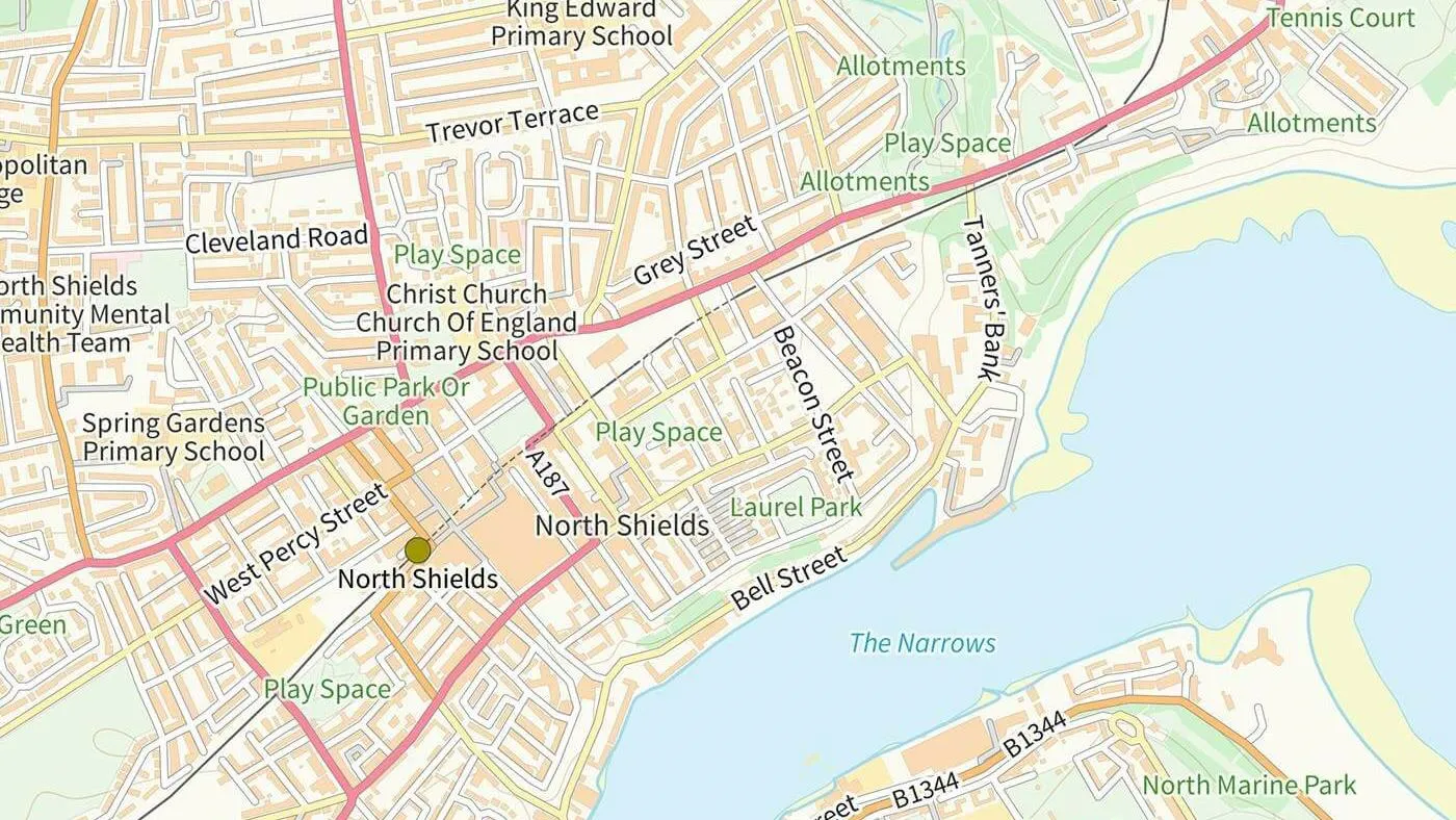
A vector tile service providing detailed Ordnance Survey data as a customisable basemap.